Black Wood
Wood, Forest in Yorkshire Craven
England
Black Wood
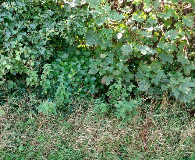
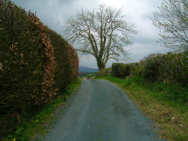
Black Wood is a picturesque forest located in Yorkshire, England. This ancient woodland is characterized by its dense canopies of tall, mature trees, predominantly composed of oak, beech, and birch. Spanning an area of approximately 500 acres, Black Wood offers a tranquil and serene environment for nature enthusiasts and hikers alike.
The forest is known for its rich biodiversity, with a variety of flora and fauna residing within its boundaries. The forest floor is carpeted with a plethora of wildflowers, including bluebells, primroses, and wood anemones, creating a vibrant and colorful display during the spring months. Numerous species of birds, such as woodpeckers, owls, and warblers, can be spotted among the treetops, while small mammals like badgers, foxes, and squirrels scurry about on the forest floor.
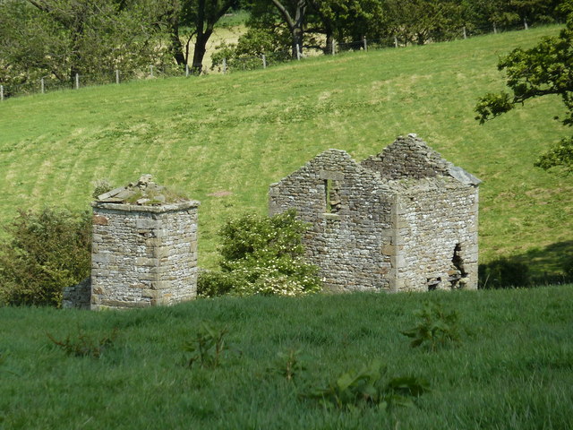
Black Wood also boasts a network of walking trails that wind through its enchanting landscape, offering visitors the opportunity to explore its natural wonders. These paths lead to various points of interest, including a charming babbling brook, ancient ruins, and stunning viewpoints that provide breathtaking vistas of the surrounding countryside.
Due to its secluded location, Black Wood offers a peaceful retreat away from the hustle and bustle of city life. Visitors can immerse themselves in the serenity of nature, enjoying the soothing sounds of songbirds and the rustling of leaves in the gentle breeze. Whether it is a leisurely stroll or an adventurous hike, Black Wood is a captivating destination that showcases the beauty and tranquility of Yorkshire's countryside.
If you have any feedback on the listing, please let us know in the comments section below.
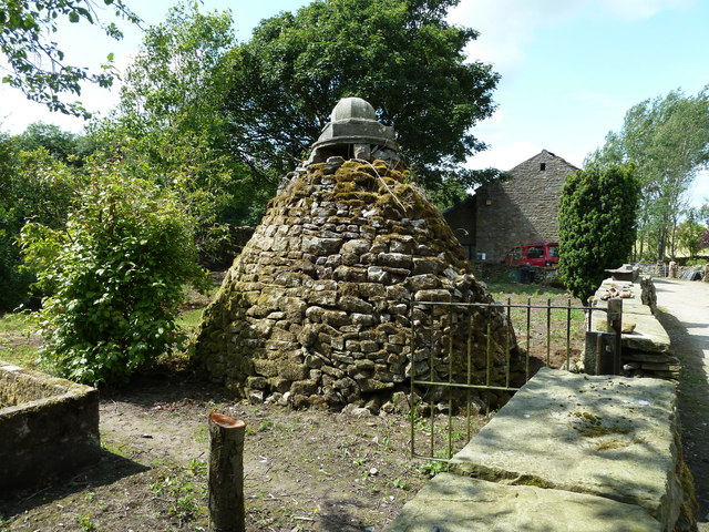
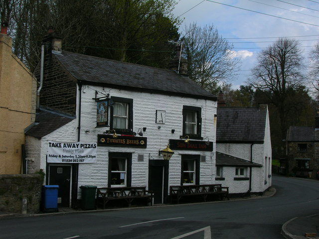
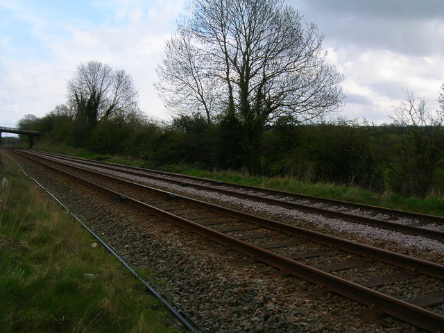
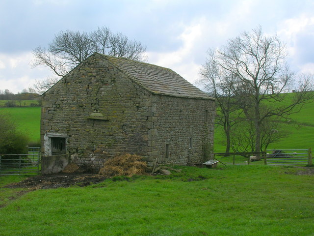
Black Wood Images
Images are sourced within 2km of 54.131113/-2.5545137 or Grid Reference SD6370. Thanks to Geograph Open Source API. All images are credited.
Black Wood is located at Grid Ref: SD6370 (Lat: 54.131113, Lng: -2.5545137)
Division: West Riding
Administrative County: North Yorkshire
District: Craven
Police Authority: North Yorkshire
What 3 Words
///sour.whispers.swarm. Near High Bentham, North Yorkshire
Related Wikis

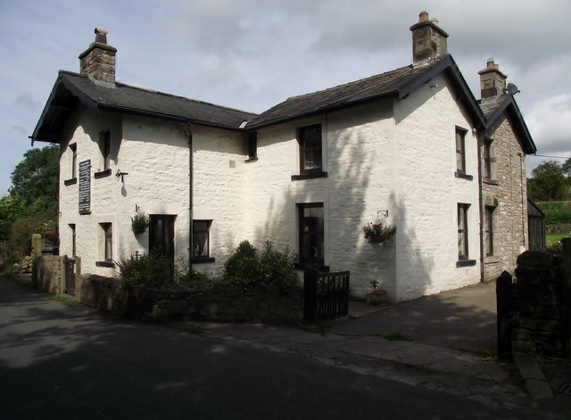
The Ridding
The Ridding is a Victorian country house located in the village of Bentham, North Yorkshire, England. It is recorded in the National Heritage List for...

Bentham Grammar School
Bentham Grammar School was an independent school in Bentham, North Yorkshire, England. The school was founded in 1726 but closed in 2002 due to dwindling...

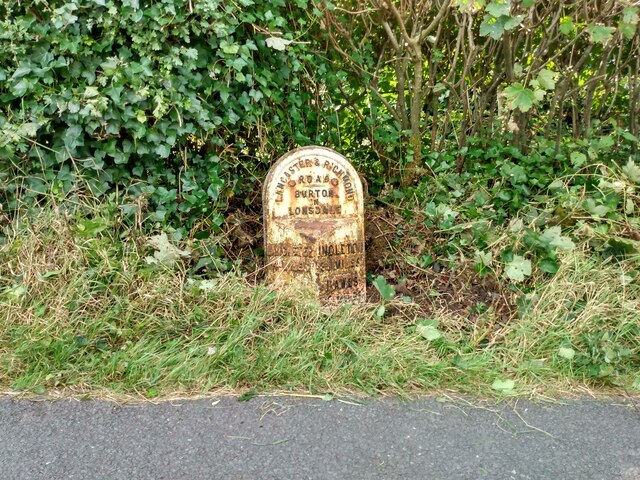
Burton in Lonsdale Castle
Burton in Lonsdale Castle was in the village of Burton in Lonsdale in North Yorkshire, England (grid reference SD649721). The Pipe Rolls for the reign...

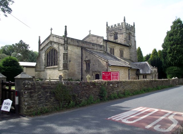
All Saints Church, Burton in Lonsdale
All Saints Church is in the village of Burton in Lonsdale, North Yorkshire, England. It is an active Anglican parish church in the deanery of Ewecross...

Low Bentham railway station
Low Bentham railway station served the village of Low Bentham, North Yorkshire, England, from 1850 to 1853 on the "Little" North Western Railway. ��2...

Burton in Lonsdale
Burton in Lonsdale is a village and civil parish in the Craven District of North Yorkshire, England, close to the border with Lancashire and Cumbria....
Wennington, Lancashire
Wennington is a civil parish in the City of Lancaster district in Lancashire, England. The 2001 Census recorded the parish's population as 102, and the...

Wennington railway station
Wennington is a railway station on the Bentham Line, which runs between Leeds and Morecambe via Skipton. The station, situated 15+3⁄4 miles (25 km) east...
Related Videos

BURTON IN LONSDALE LOOP
Hello Jamie here and with another video. Close to our cottage is Burton In Lonsdale. A small but nice village, we walked to and ...

VIDEO: Huge fires erupt across London | Fire at Dartford Heath off A2 | Wennington fire😢
ukfire#wenningtonfire#uk.#london.

VE Day Burton In Lonsdale Streets
The Burton in Lonsdale streets as decorated for VE Day's 75th Anniversary. This was taken before the socially distanced (keeping ...
Nearby Amenities
Located within 500m of 54.131113,-2.5545137Have you been to Black Wood?
Leave your review of Black Wood below (or comments, questions and feedback).