Upper Ravens Close Wood
Wood, Forest in Lancashire Lancaster
England
Upper Ravens Close Wood
Upper Ravens Close Wood is a picturesque forest located in Lancashire, England. Covering an area of approximately 100 acres, it is a haven for nature enthusiasts and outdoor adventurers. The wood is situated in a rural setting, surrounded by rolling hills and meandering streams, providing a tranquil and serene atmosphere.
The forest is primarily composed of ancient oak trees, which tower majestically over the landscape. These trees, some of which are believed to be several hundred years old, create a dense canopy that filters sunlight and provides shade to the forest floor. Underneath the oak trees, a variety of flora and fauna thrive, making it an ideal habitat for wildlife.
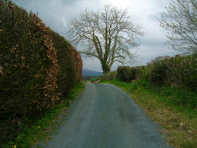
The wood is crisscrossed by an extensive network of footpaths, allowing visitors to explore its natural beauty. These paths lead to scenic viewpoints, hidden clearings, and tranquil ponds, offering breathtaking vistas of the surrounding countryside. It is a popular destination for walkers, hikers, and nature lovers, who can immerse themselves in the peaceful ambiance and enjoy the sights and sounds of the woodland.
Upper Ravens Close Wood is managed by the local authorities, who ensure its preservation and protection. The forest plays an important role in maintaining biodiversity in the region and provides a valuable habitat for numerous species of birds, insects, and small mammals.
Visitors to Upper Ravens Close Wood can experience the tranquility of nature, escape the hustle and bustle of daily life, and enjoy the beauty of Lancashire's woodlands. Whether it be a leisurely stroll, a picnic, or simply a moment of solitude, this forest offers a serene retreat for all who venture into its enchanting depths.
If you have any feedback on the listing, please let us know in the comments section below.
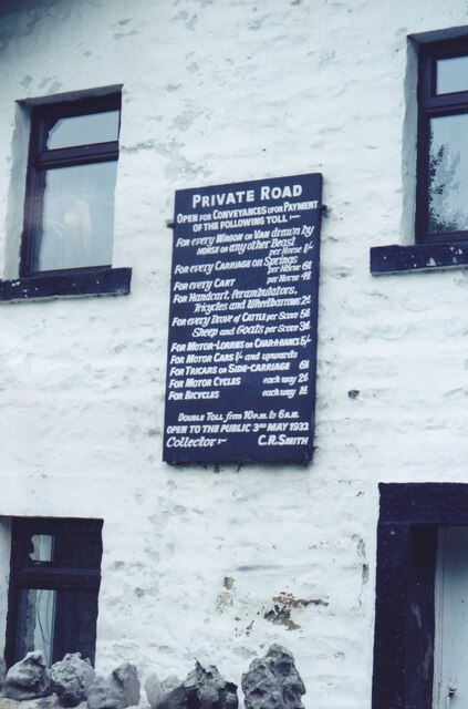
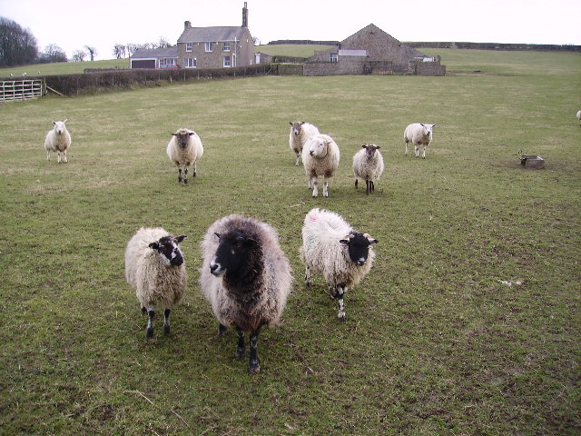
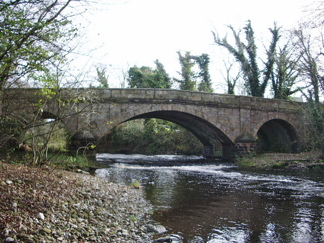
Upper Ravens Close Wood Images
Images are sourced within 2km of 54.132475/-2.5668822 or Grid Reference SD6370. Thanks to Geograph Open Source API. All images are credited.

Upper Ravens Close Wood is located at Grid Ref: SD6370 (Lat: 54.132475, Lng: -2.5668822)
Administrative County: Lancashire
District: Lancaster
Police Authority: Lancashire
What 3 Words
///downsize.letters.every. Near High Bentham, North Yorkshire
Related Wikis

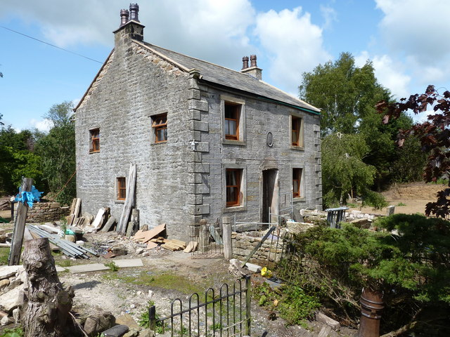
The Ridding
The Ridding is a Victorian country house located in the village of Bentham, North Yorkshire, England. It is recorded in the National Heritage List for...
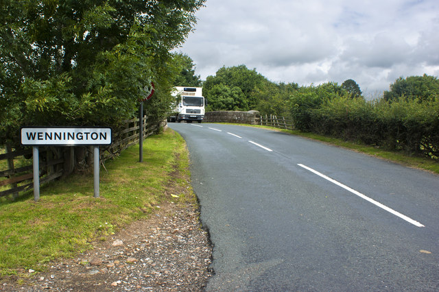
Wennington, Lancashire
Wennington is a civil parish in the City of Lancaster district in Lancashire, England. The 2001 Census recorded the parish's population as 102, and the...

Wennington Hall
Wennington Hall is a former country house in Wennington, a village in the City of Lancaster district in Lancashire, England. The house is a Grade II listed...

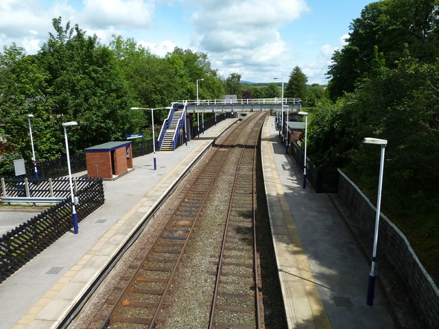
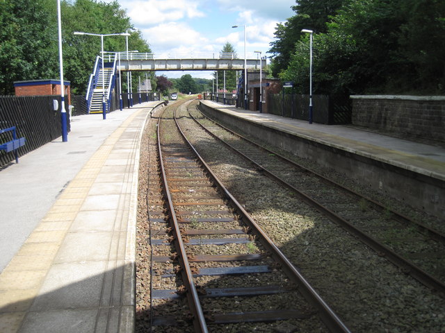
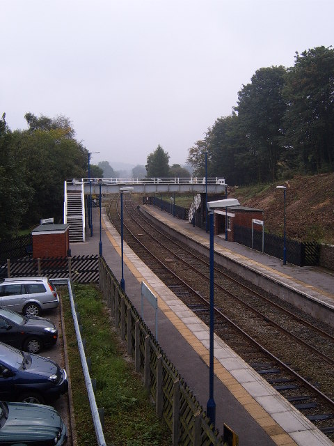
Wennington railway station
Wennington is a railway station on the Bentham Line, which runs between Leeds and Morecambe via Skipton. The station, situated 15+3⁄4 miles (25 km) east...
Nearby Amenities
Located within 500m of 54.132475,-2.5668822Have you been to Upper Ravens Close Wood?
Leave your review of Upper Ravens Close Wood below (or comments, questions and feedback).