Stoneyburn Wood
Wood, Forest in Lanarkshire
Scotland
Stoneyburn Wood
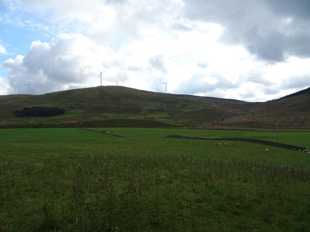
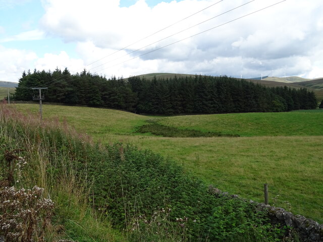
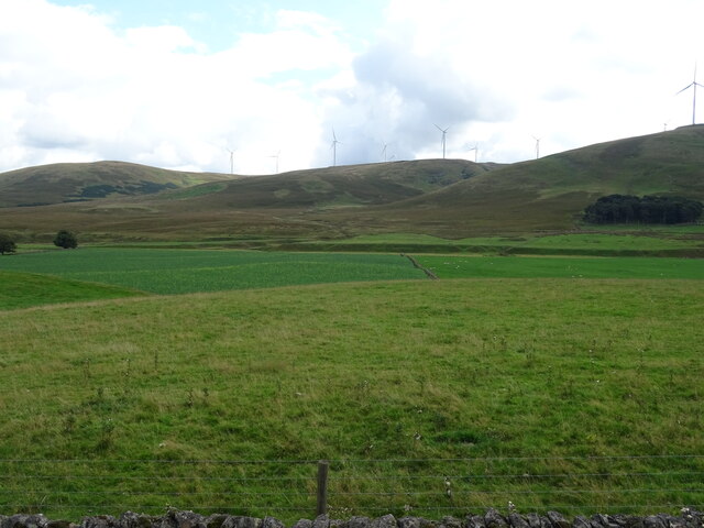
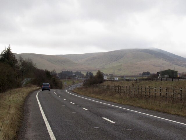
Stoneyburn Wood is a picturesque forest located in the county of Lanarkshire, Scotland. Spread across an area of approximately 100 acres, this woodland is a haven for nature enthusiasts and outdoor adventurers alike. It is situated near the village of Stoneyburn, which is nestled in the heart of the Scottish countryside.
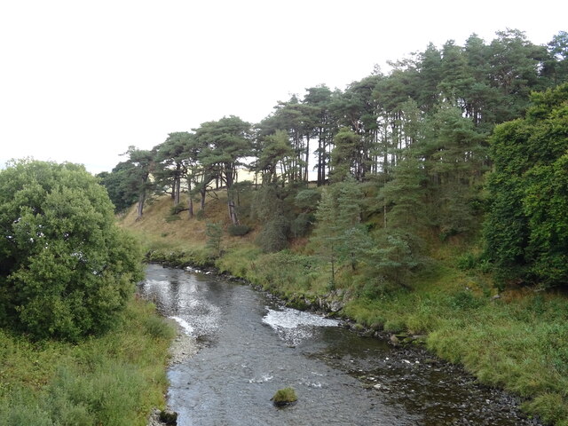
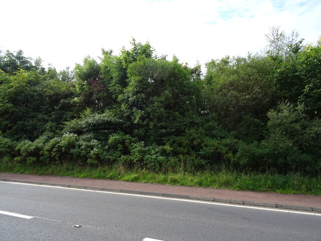
The wood is predominantly made up of native tree species, including oak, birch, and Scots pine. These trees provide a lush canopy, creating a serene and tranquil environment. The forest floor is covered in a thick carpet of moss and wildflowers, adding to its natural beauty.
Stoneyburn Wood is home to a diverse range of flora and fauna. It provides a habitat for a variety of bird species, such as robins, blackbirds, and woodpeckers. Nature lovers can also spot small mammals like squirrels and rabbits scurrying through the undergrowth.
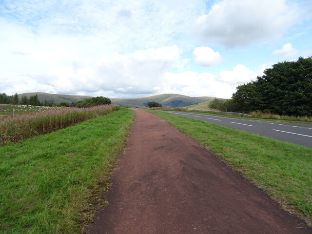
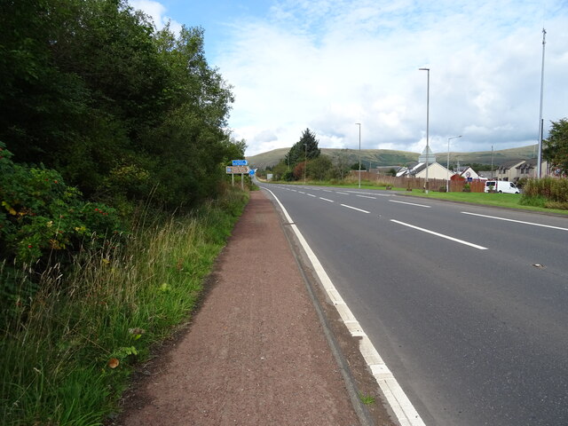
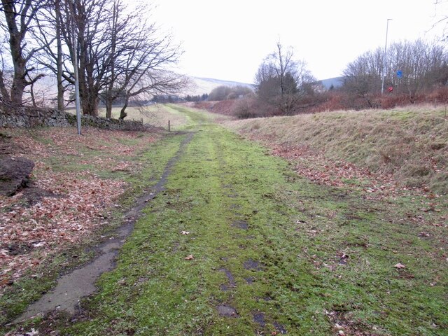
The wood offers numerous walking trails and paths that wind their way through the forest, allowing visitors to explore its hidden treasures. These trails cater to all abilities, from leisurely strolls to more challenging hikes. Along the way, visitors can enjoy breathtaking views of the surrounding countryside and may even stumble upon a hidden waterfall or a babbling brook.
Stoneyburn Wood is a popular destination for outdoor activities such as picnicking, wildlife photography, and nature walks. It provides a peaceful escape from the hustle and bustle of everyday life, allowing visitors to reconnect with nature and enjoy the tranquility of the Scottish woodlands.
If you have any feedback on the listing, please let us know in the comments section below.
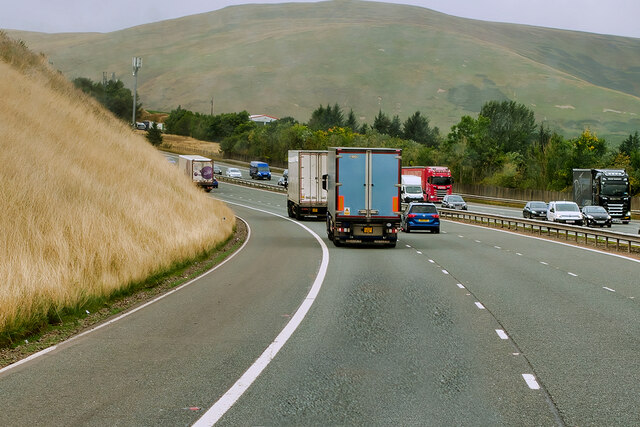
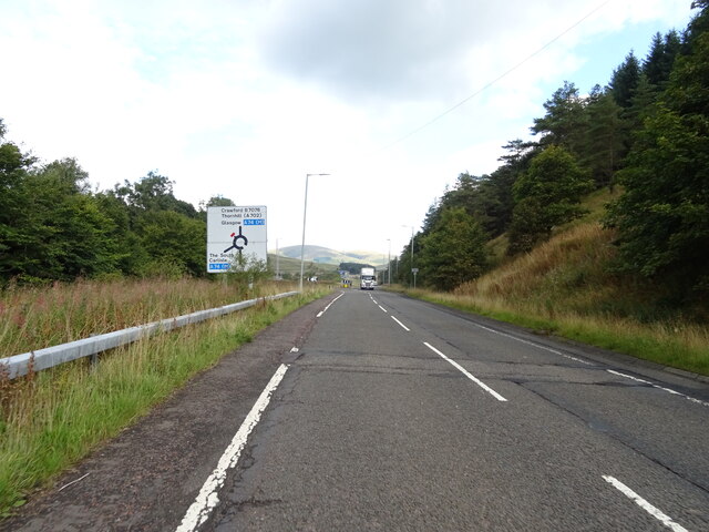
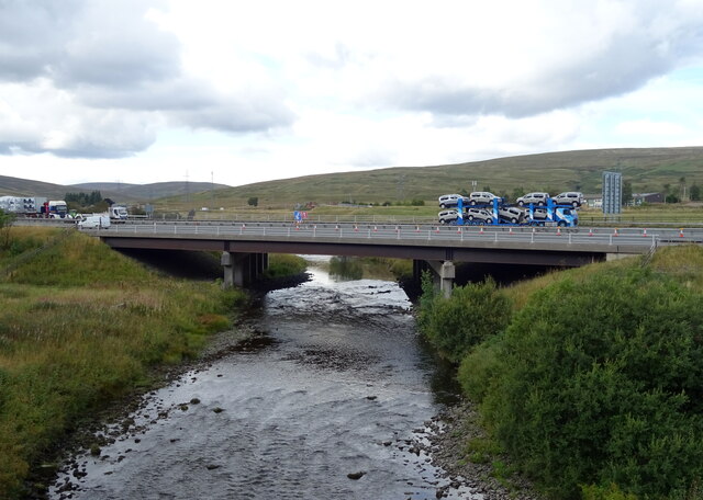
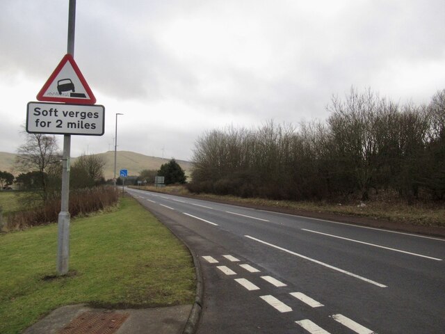
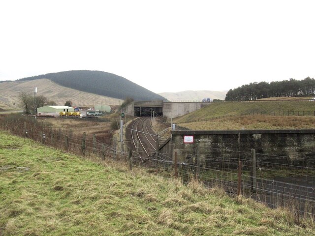
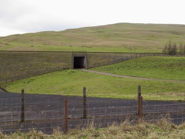
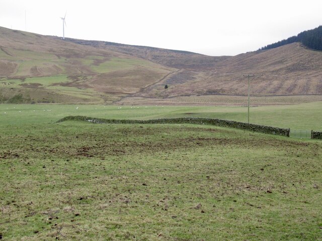
Stoneyburn Wood Images
Images are sourced within 2km of 55.457465/-3.6404395 or Grid Reference NS9619. Thanks to Geograph Open Source API. All images are credited.

Stoneyburn Wood is located at Grid Ref: NS9619 (Lat: 55.457465, Lng: -3.6404395)
Unitary Authority: South Lanarkshire
Police Authority: Lanarkshire
What 3 Words
///retained.rear.blanking. Near Douglas, South Lanarkshire
Nearby Locations
Related Wikis
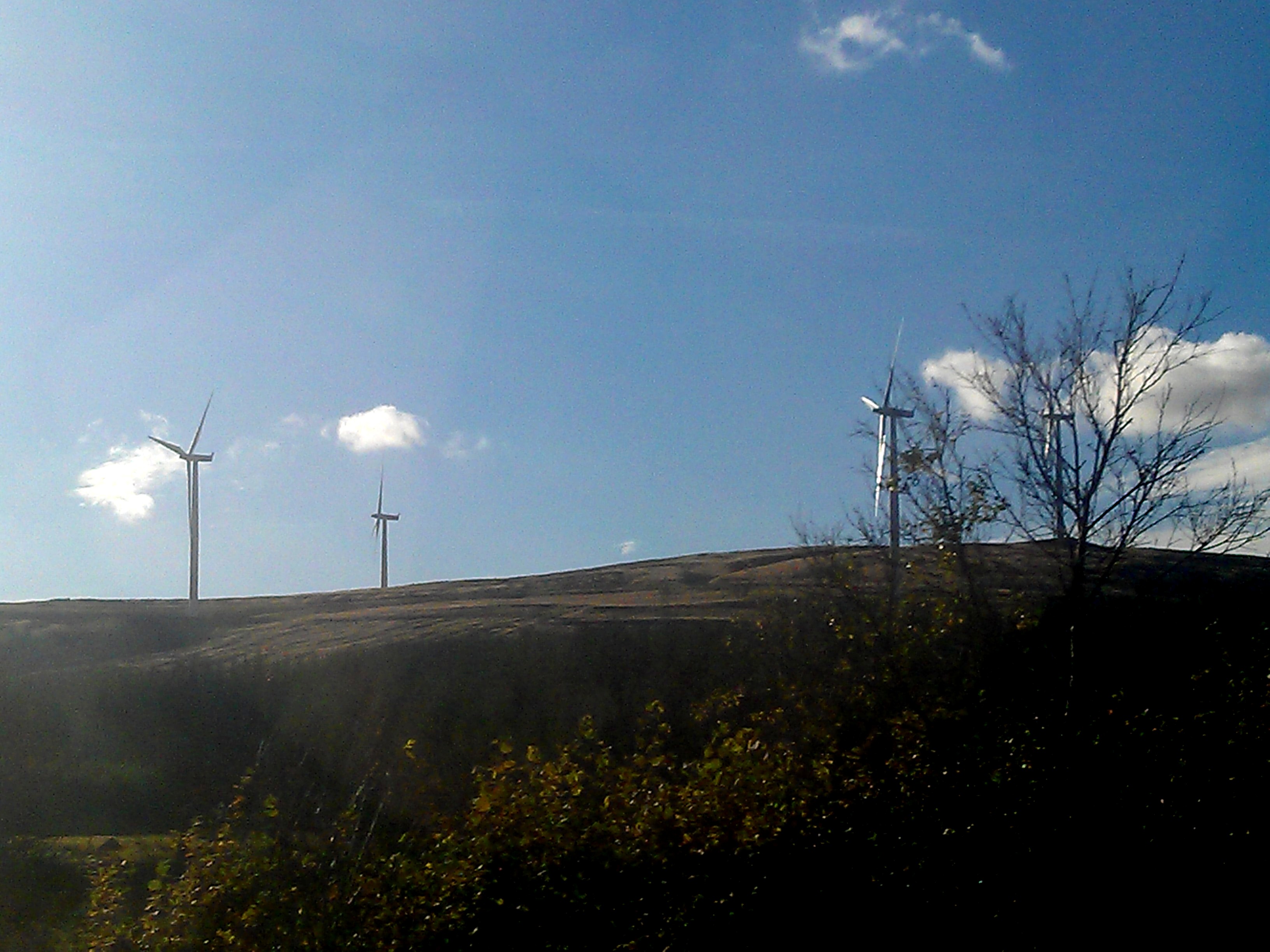
Clyde Wind Farm
The Clyde Wind Farm is a 522 megawatt (MW) wind farm near Abington in South Lanarkshire, Scotland. == Planning == The first stage of the project consists...

Crawford, South Lanarkshire
Crawford is a village and civil parish in South Lanarkshire, Scotland.Crawford is close to the source of the River Clyde and the M74 motorway, 50 miles...

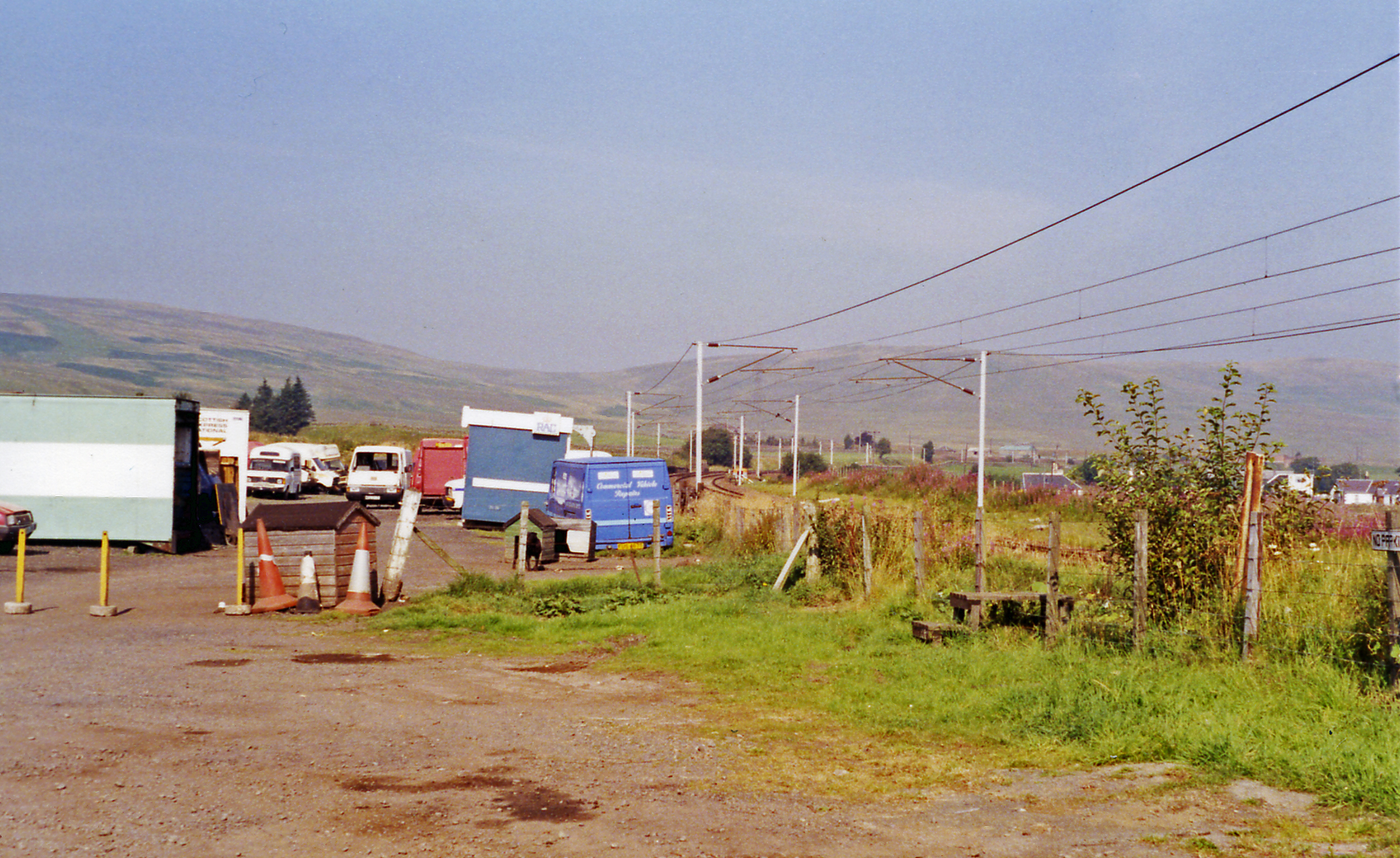
Crawford railway station (Scotland)
Crawford railway station was a station which served the village of Crawford, near Abington, in the Scottish county of South Lanarkshire. It was served...
Crawford Castle
Crawford Castle, substantially in ruins, is located on the north bank of the River Clyde, around 1⁄2 mile (800 metres) north of Crawford, South Lanarkshire...
Elvanfoot railway station
Elvanfoot railway station was a station which served Elvanfoot, in the Scottish county of South Lanarkshire. It was served by local trains on what is now...

Elvanfoot
Elvanfoot is a small village in South Lanarkshire, Scotland. Elvanfoot is located at the confluence of the River Clyde and Elvan Water. The Clyde is crossed...

Abington railway station
Abington railway station was a station which served Abington, in the Scottish county of South Lanarkshire. It was served by local trains on what is now...

Abington, South Lanarkshire
Abington is a village in the Scottish council region of South Lanarkshire, close to the M74 motorway, marking the point where it changes name to the A74...
Nearby Amenities
Located within 500m of 55.457465,-3.6404395Have you been to Stoneyburn Wood?
Leave your review of Stoneyburn Wood below (or comments, questions and feedback).