Glespin Pool
Lake, Pool, Pond, Freshwater Marsh in Lanarkshire
Scotland
Glespin Pool

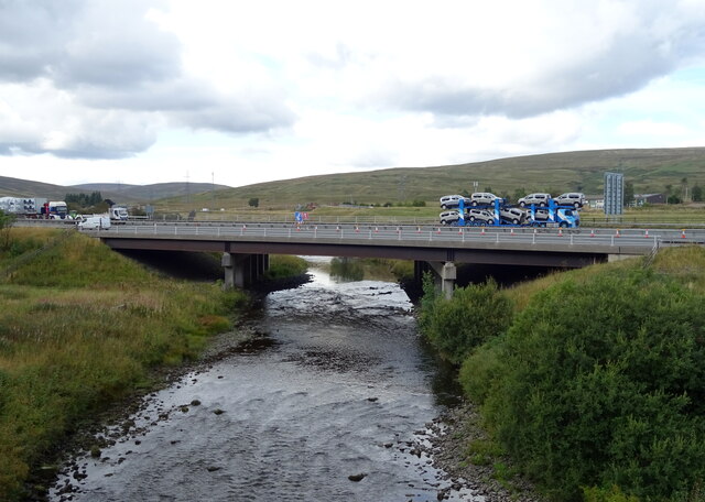
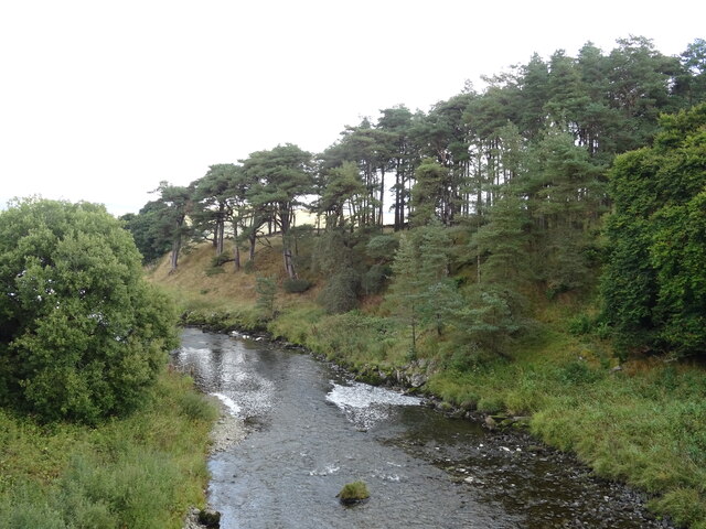
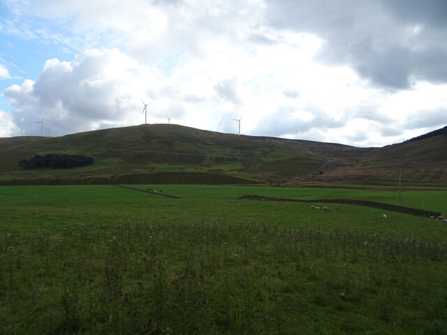
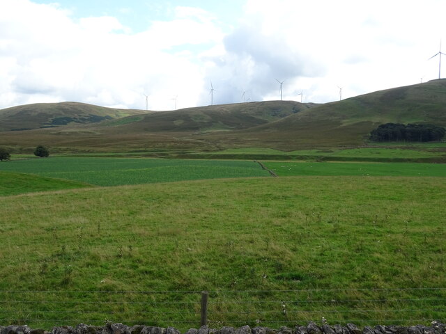
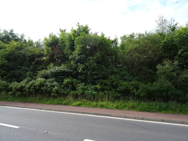
Glespin Pool, located in Lanarkshire, Scotland, is a picturesque freshwater marsh that attracts visitors with its serene beauty and diverse ecosystem. Spanning across an area of approximately 5 acres, the pool is nestled amidst rolling green hills, creating a tranquil setting for nature enthusiasts.
As a natural water feature, Glespin Pool serves as a habitat for a wide range of flora and fauna. The pool is home to various species of water plants, including lilies, reeds, and rushes, which thrive in the marshy environment. These plants provide essential shelter and food sources for many aquatic organisms.
The pool also serves as a breeding ground for numerous species of water birds, such as ducks, geese, and swans. During the breeding season, visitors can witness the delightful sight of young chicks learning to swim and feed. Additionally, the pool attracts migratory birds, making it a haven for birdwatchers throughout the year.
The water in Glespin Pool is primarily supplied by rainfall and underground springs, ensuring a constant flow of freshwater. This water source supports a diverse array of aquatic life, including fish species like perch, roach, and pike, providing opportunities for angling enthusiasts.
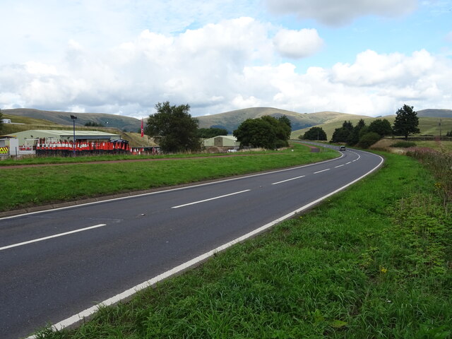
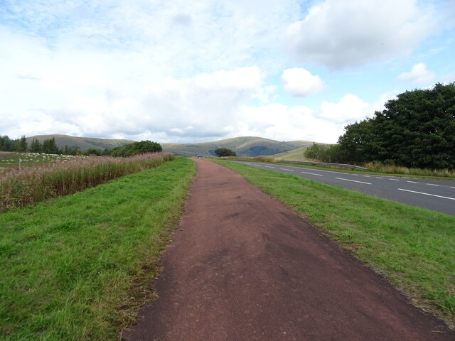
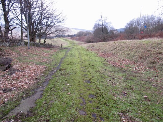
Surrounded by a well-maintained footpath, Glespin Pool offers visitors the chance to explore the area and observe the wildlife from several vantage points. The path also provides access to viewing platforms, allowing visitors to observe the pool's inhabitants without causing disturbance.
Overall, Glespin Pool is a cherished natural feature in Lanarkshire, offering visitors a serene escape into the heart of nature. Its thriving ecosystem and diverse wildlife make it a must-visit destination for those seeking a tranquil and immersive experience in the Scottish countryside.
If you have any feedback on the listing, please let us know in the comments section below.
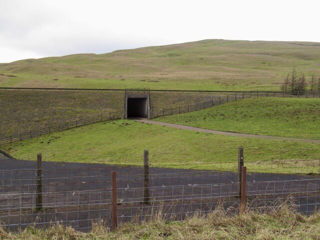
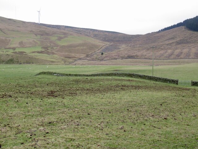
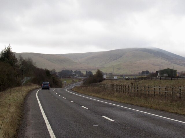
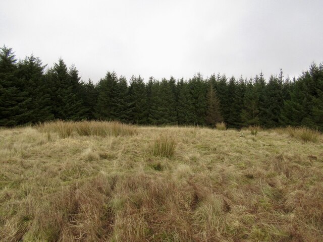
Glespin Pool Images
Images are sourced within 2km of 55.460727/-3.6357352 or Grid Reference NS9619. Thanks to Geograph Open Source API. All images are credited.

Glespin Pool is located at Grid Ref: NS9619 (Lat: 55.460727, Lng: -3.6357352)
Unitary Authority: South Lanarkshire
Police Authority: Lanarkshire
What 3 Words
///bookmark.panthers.poorly. Near Douglas, South Lanarkshire
Nearby Locations
Related Wikis
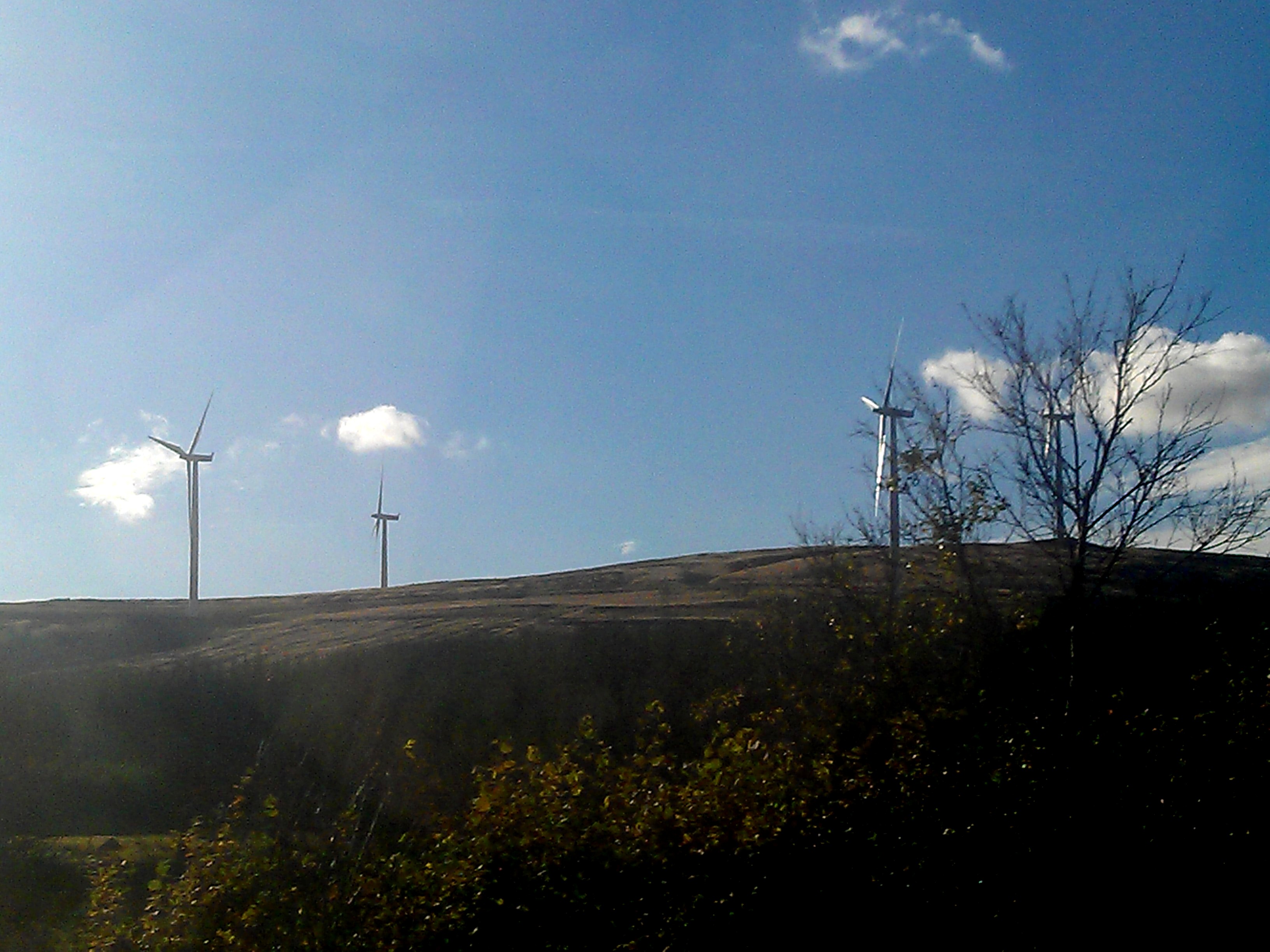
Clyde Wind Farm
The Clyde Wind Farm is a 522 megawatt (MW) wind farm near Abington in South Lanarkshire, Scotland. == Planning == The first stage of the project consists...

Crawford railway station (Scotland)
Crawford railway station was a station which served the village of Crawford, near Abington, in the Scottish county of South Lanarkshire. It was served...

Crawford, South Lanarkshire
Crawford is a village and civil parish in South Lanarkshire, Scotland.Crawford is close to the source of the River Clyde and the M74 motorway, 50 miles...
Crawford Castle
Crawford Castle, substantially in ruins, is located on the north bank of the River Clyde, around 1⁄2 mile (800 metres) north of Crawford, South Lanarkshire...
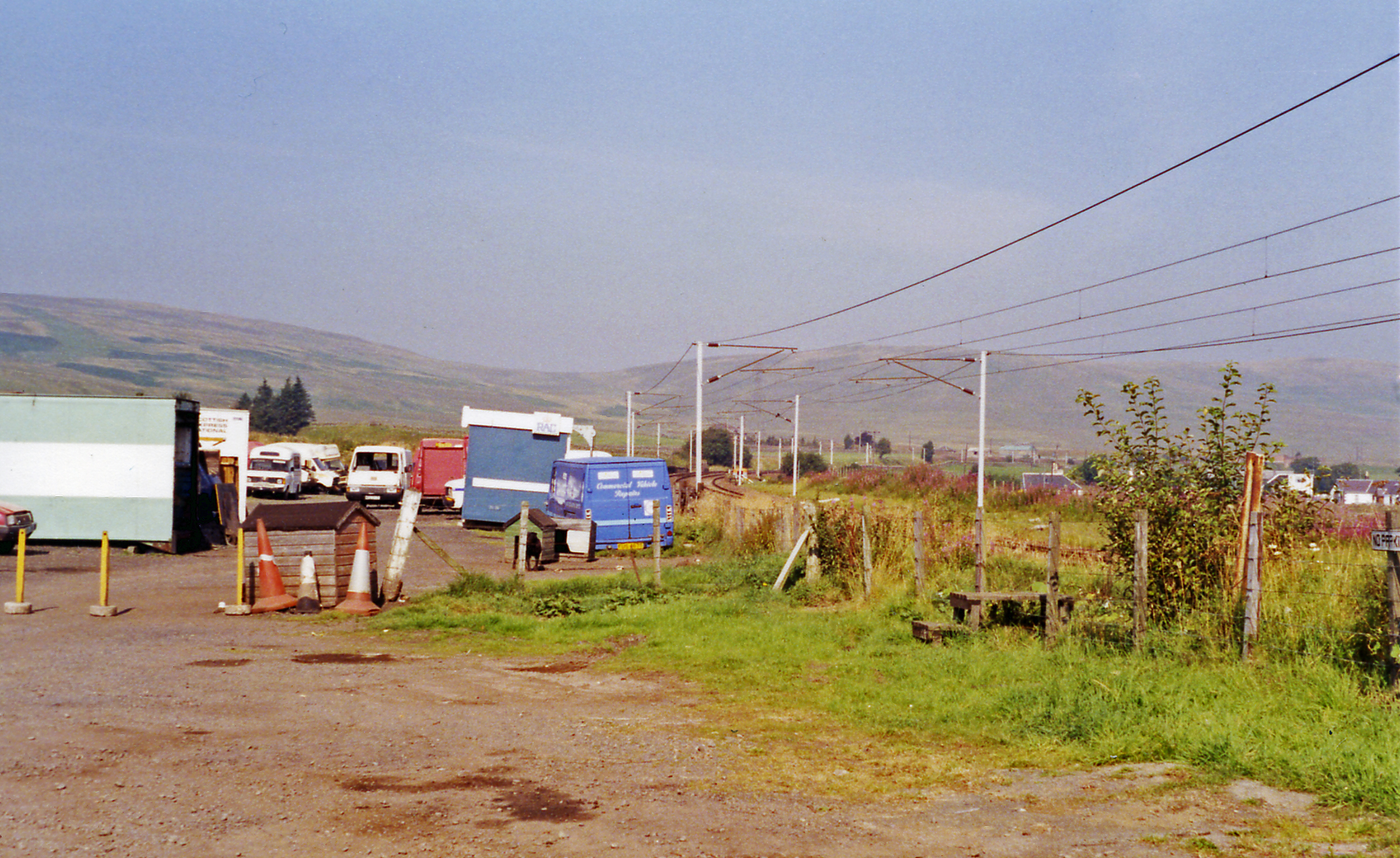
Elvanfoot railway station
Elvanfoot railway station was a station which served Elvanfoot, in the Scottish county of South Lanarkshire. It was served by local trains on what is now...

Elvanfoot
Elvanfoot is a small village in South Lanarkshire, Scotland. Elvanfoot is located at the confluence of the River Clyde and Elvan Water. The Clyde is crossed...

Abington railway station
Abington railway station was a station which served Abington, in the Scottish county of South Lanarkshire. It was served by local trains on what is now...

Abington, South Lanarkshire
Abington is a village in the Scottish council region of South Lanarkshire, close to the M74 motorway, marking the point where it changes name to the A74...
Nearby Amenities
Located within 500m of 55.460727,-3.6357352Have you been to Glespin Pool?
Leave your review of Glespin Pool below (or comments, questions and feedback).