Lochan Ealach Mòr

Lake, Pool, Pond, Freshwater Marsh in Caithness

Scotland

Lochan Ealach Mòr

Loch Sletill Upturned boat
Loch Sletill Credit: Bushy Palmer

The requested URL returned error: 429 Too Many Requests

If you have any feedback on the listing, please let us know in the comments section below.

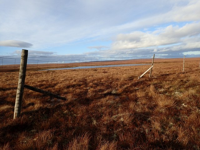
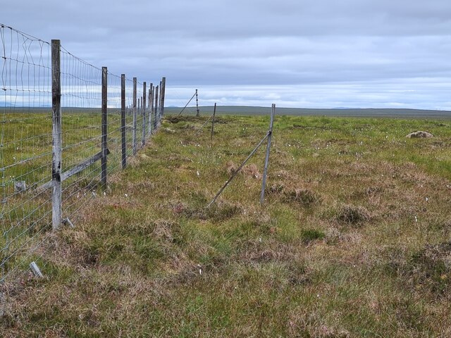
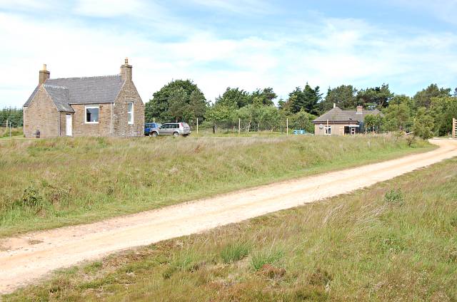
Lochan Ealach Mòr Images

Images are sourced within 2km of 58.409251/-3.7709229 or Grid Reference NC9648. Thanks to Geograph Open Source API. All images are credited.

Loch Sletill Upturned boat
Loch Sletill
Upturned boat
Lochan Ealach Mòr
Lochan Ealach Mòr
Flow country peatland
Loch Sletill Beach A fine gravel beach on Loch Sletill (a famous and highly productive trout loch - see the Forsinard Hotel for permits). The shot looks southwards to the fine peak of Morven and its satellites.
Loch Sletill Beach
A fine gravel beach on Loch Sletill (a famous and highly productive trout loch - see the Forsinard Hotel for permits). The shot looks southwards to the fine peak of Morven and its satellites.
The End of the Track to Loch Talaheel The track ends just behind us, and about half a kilometre from the loch.
The End of the Track to Loch Talaheel
The track ends just behind us, and about half a kilometre from the loch.
Pools SW of Loch Talaheel The moorland here was very wet. There were clumps of heather and white lichen. The loch itself can just be seen in the distance.
Pools SW of Loch Talaheel
The moorland here was very wet. There were clumps of heather and white lichen. The loch itself can just be seen in the distance.
Boggy Moorland North of Loch Sletill The moorland was rough grass with clumps of heather and white lichen. Part of the loch itself can be seen on the right of the picture.
Boggy Moorland North of Loch Sletill
The moorland was rough grass with clumps of heather and white lichen. Part of the loch itself can be seen on the right of the picture.
Boggy Moorland West of Lochan Ealach Mor Walking was slow across this rough and boggy land. The southern end of the loch can be seen.
Boggy Moorland West of Lochan Ealach Mor
Walking was slow across this rough and boggy land. The southern end of the loch can be seen.
Whooper Swans on Lochan Ealach Mor The four swans moved further into the reeds as we approached, and we moved on quickly, to avoid disturbing them further.
Whooper Swans on Lochan Ealach Mor
The four swans moved further into the reeds as we approached, and we moved on quickly, to avoid disturbing them further.
Allt Lochain Ealaich Mhoir This burn flows slowly from Lochan Ealach Mor to Loch na Cloiche. Surrounded by a corridor of greener grass, which was a welcome change from the rough moorland.
Allt Lochain Ealaich Mhoir
This burn flows slowly from Lochan Ealach Mor to Loch na Cloiche. Surrounded by a corridor of greener grass, which was a welcome change from the rough moorland.
Peaty Banks of Uidh Ruadh There wasn't much water in this burn. This was an area of rough grassland.
Peaty Banks of Uidh Ruadh
There wasn't much water in this burn. This was an area of rough grassland.
Lochan Ealach Mor Extremely rough grassland surrounded the loch. Unusually, most of the small burns entering the loch have names on the OS map.
Lochan Ealach Mor
Extremely rough grassland surrounded the loch. Unusually, most of the small burns entering the loch have names on the OS map.
Deer NW of Lochan Ealach Mor The deer moved south as we approached; they could not go west as there was a deer fence.
Deer NW of Lochan Ealach Mor
The deer moved south as we approached; they could not go west as there was a deer fence.
Loch Talaheel Seen Through Deer Fence The ground was boggy with rough clumps of heather and white lichen.
Loch Talaheel Seen Through Deer Fence
The ground was boggy with rough clumps of heather and white lichen.
Allt Preas a' Mhadaidh The upper reaches of the burn here were little more than a ditch. Looking towards the Beinn nam Bad hills.
Allt Preas a' Mhadaidh
The upper reaches of the burn here were little more than a ditch. Looking towards the Beinn nam Bad hills.
Upper Reaches of the Allt Preas a' Mhadaidh The marsh grass is distinctly darker than the mainly grass/moss moorland around. The Griams can be seen in the distance.
Upper Reaches of the Allt Preas a' Mhadaidh
The marsh grass is distinctly darker than the mainly grass/moss moorland around. The Griams can be seen in the distance.
Two Generations of Fence on Cnoc Preas a' Mhadaidh These fences separate the Shurrery Estate from forestry areas.
Two Generations of Fence on Cnoc Preas a' Mhadaidh
These fences separate the Shurrery Estate from forestry areas.
Felled Forest S of Cnoc Preas a' Mhadaidh This forestry plantation is called "Raphan". The north edge of the forest has been felled. Morven can be seen in the distance.
Felled Forest S of Cnoc Preas a' Mhadaidh
This forestry plantation is called "Raphan". The north edge of the forest has been felled. Morven can be seen in the distance.
Show me another place!

Lochan Ealach Mòr is located at Grid Ref: NC9648 (Lat: 58.409251, Lng: -3.7709229)

Unitary Authority: Highland

Police Authority: Highlands and Islands

What 3 Words

///valid.birthdays.fleet. Near Forsinard, Highland

Nearby Locations

Lochan Ealach Mòr

Related Wikis

Flow Country

The Flow Country is a large, rolling expanse of peatland and wetland area of Caithness and Sutherland in the North of Scotland. It is the largest expanse...

Altnabreac railway station

Altnabreac railway station () is a rural railway station in the Highland council area of Scotland. It serves the area of Altnabreac – a settlement in which...

Altnabreac

Altnabreac ( ALT-nə-BREK, from Scottish Gaelic Allt nam Breac) is a tiny settlement within the county of Caithness, in the north of Scotland, and now...

Trantlebeg

Trantlebeg (Scottish Gaelic: Tranntail Beag) is a small village east of the Halladale River in Forsinard, east Sutherland, Scottish Highlands and is in...

Have you been to Lochan Ealach Mòr?

Leave your review of Lochan Ealach Mòr below (or comments, questions and feedback).