Allers Ponds

Lake, Pool, Pond, Freshwater Marsh in Devon Mid Devon

England

Allers Ponds

Tiverton : Grassy Field Looking across the countryside near Tiverton.
Tiverton : Grassy Field Credit: Lewis Clarke

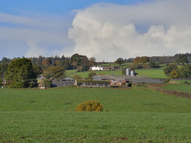
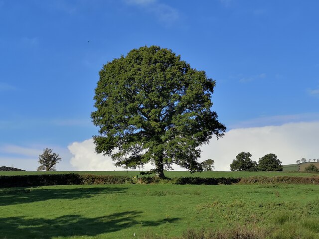
Allers Ponds, located in Devon, is a picturesque freshwater ecosystem consisting of interconnected lakes, pools, ponds, and a freshwater marsh. Spanning over a vast area, Allers Ponds is a haven for wildlife and an oasis of natural beauty. The ponds are situated amidst rolling hills and lush greenery, creating a serene and tranquil atmosphere.

The main feature of Allers Ponds is a series of interconnected water bodies, ranging from small pools to larger lakes. The water in these ponds is crystal clear, owing to its freshwater source, which is primarily rainfall and underground springs. The various depths and sizes of the ponds offer different habitats for a wide range of aquatic plants and animals.

The freshwater marsh of Allers Ponds is particularly noteworthy. It is characterized by shallow, slow-moving water and an abundance of aquatic vegetation. This marshland provides an ideal habitat for numerous species of birds, amphibians, and insects. Birdwatchers flock to the area to catch glimpses of the diverse avian population, including herons, ducks, and kingfishers.

The surrounding landscape of Allers Ponds is also rich in biodiversity. Woodlands and meadows encircle the water bodies, serving as a habitat for woodland creatures such as deer, foxes, and rabbits. Visitors can explore the area by following the well-maintained trails that wind through the natural surroundings, offering breathtaking views of the ponds and their inhabitants.

Allers Ponds is not only a haven for wildlife but also a popular destination for nature enthusiasts and photographers. Its idyllic setting and abundant wildlife make it a must-visit destination for anyone seeking to immerse themselves in the beauty of Devon's natural landscapes.

If you have any feedback on the listing, please let us know in the comments section below.
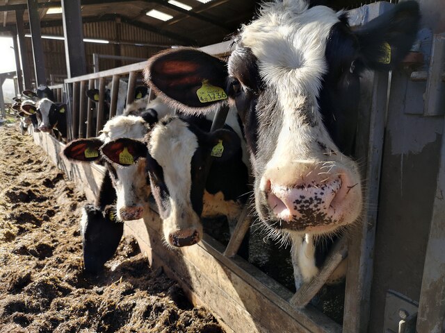
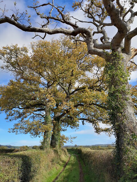
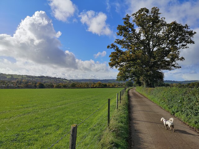
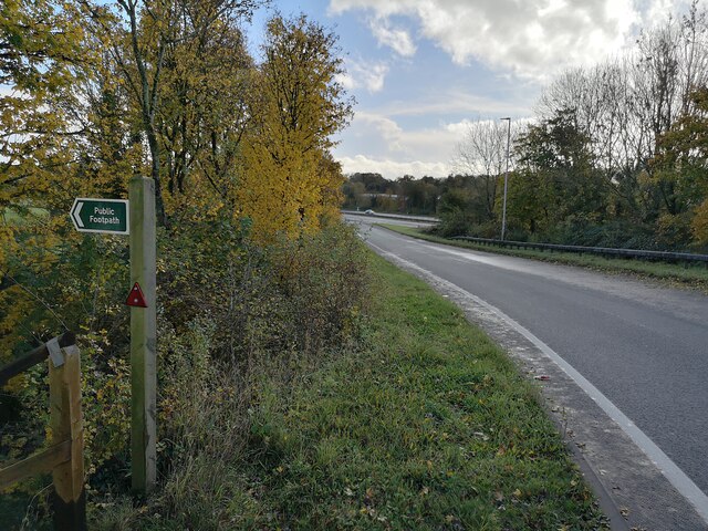
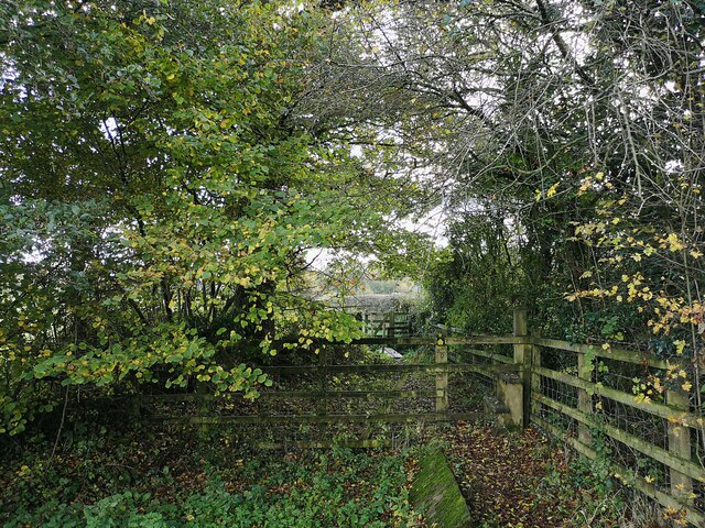
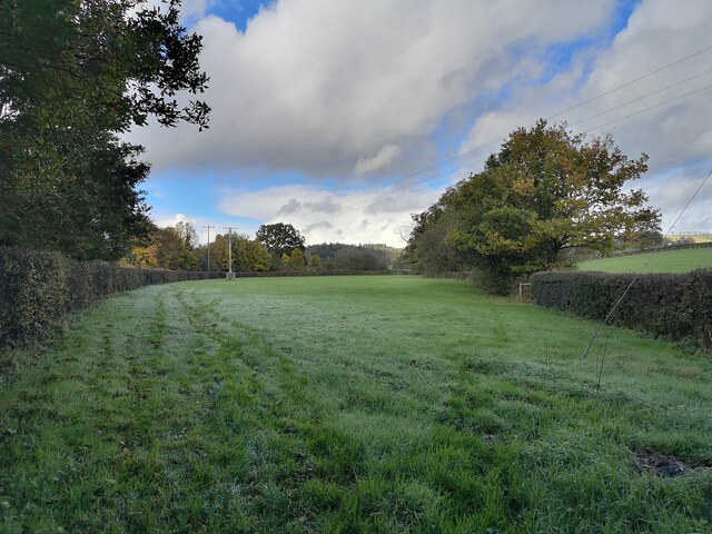
Allers Ponds Images

Images are sourced within 2km of 50.9286/-3.4713825 or Grid Reference SS9615. Thanks to Geograph Open Source API. All images are credited.

Tiverton : Grassy Field Looking across the countryside near Tiverton.
Tiverton : Grassy Field
Looking across the countryside near Tiverton.
Tiverton : Grassy Field Looking across the countryside near Tiverton.
Tiverton : Grassy Field
Looking across the countryside near Tiverton.
Tiverton : Grassy Field Looking towards Peadhill in Tiverton.
Tiverton : Grassy Field
Looking towards Peadhill in Tiverton.
Tiverton : Grassy Field A grassy field in the countryside.
Tiverton : Grassy Field
A grassy field in the countryside.
Tiverton : Peadhill Lane Peadhill Lane passes Peadhill Farm.
Tiverton : Peadhill Lane
Peadhill Lane passes Peadhill Farm.
Tiverton : Peadhill Farm Farm barns along Peadhill Lane.
Tiverton : Peadhill Farm
Farm barns along Peadhill Lane.
Tiverton : Peadhill Farm Cows chewing away on their feed.
Tiverton : Peadhill Farm
Cows chewing away on their feed.
Tiverton : Peadhill Farm Cows in the barn.
Tiverton : Peadhill Farm
Cows in the barn.
Tiverton : Grassy Field Looking towards a tree in a grassy field.
Tiverton : Grassy Field
Looking towards a tree in a grassy field.
Tiverton : Track A track heads to Peadhill Farm.
Tiverton : Track
A track heads to Peadhill Farm.
Tiverton : Little Gornhay Lane A small lane heading through the countryside.
Tiverton : Little Gornhay Lane
A small lane heading through the countryside.
Tiverton : North Devon Link Road A361 At the slipway. A footpath heads off the road to the left.
Tiverton : North Devon Link Road A361
At the slipway. A footpath heads off the road to the left.
Tiverton : Footpath The right of way heads from one field to the next.
Tiverton : Footpath
The right of way heads from one field to the next.
Tiverton : Grassy Field A grassy field in the countryside.
Tiverton : Grassy Field
A grassy field in the countryside.
Tiverton : Grassy Field A grassy field in the countryside.
Tiverton : Grassy Field
A grassy field in the countryside.
Tiverton : River Lowman The River Lowman and a footbridge over it.
Tiverton : River Lowman
The River Lowman and a footbridge over it.
Tiverton : Grassy Field Sheep in a grassy field.
Tiverton : Grassy Field
Sheep in a grassy field.
Tiverton : Beech Road Somebody has pointed out the damage done to the grass.
Tiverton : Beech Road
Somebody has pointed out the damage done to the grass.
Show me another place!

Allers Ponds is located at Grid Ref: SS9615 (Lat: 50.9286, Lng: -3.4713825)

Administrative County: Devon

District: Mid Devon

Police Authority: Devon and Cornwall

What 3 Words

///feelers.wants.increased. Near Tiverton, Devon

Related Wikis

Knightshayes Court

Knightshayes Court is a Victorian country house near Tiverton, Devon, England, designed by William Burges for the Heathcoat-Amory family. Nikolaus Pevsner...

Chevithorne

Chevithorne (grid reference SS9715) is a small village near Tiverton, Devon. It lies three miles to the North East of Tiverton. 'Chenetorne' is identified...

Tiverton Cemetery

Tiverton Cemetery is the burial ground for the town of Tiverton in Devon. The cemetery covers eight acres and is owned and maintained by Mid Devon Council...

Crazelowman

Crazelowman (Craze Lowman) is a hamlet in mid Devon, situated near the town of Tiverton and in that town's civil parish. It is situated to the north of...

Nearby Amenities

Located within 500m of 50.9286,-3.4713825
Power: pole
Source: bing
Lat/Long: 50.9327615/-3.4692496
Power: pole
Source: bing
Lat/Long: 50.9318588/-3.4700489
Power: pole
Source: bing
Lat/Long: 50.9310043/-3.47012
Power: pole
Source: bing
Lat/Long: 50.9293829/-3.4714471
Power: pole
Source: bing
Transformer: distribution
Lat/Long: 50.9295767/-3.4720069
Power: pole
Source: bing
Lat/Long: 50.9299232/-3.4702206
Power: pole
Source: bing
Lat/Long: 50.9287381/-3.4703386
Power: pole
Source: bing
Lat/Long: 50.9268979/-3.4722604
Power: pole
Source: bing
Lat/Long: 50.9252757/-3.4711647
Power: pole
Source: bing
Lat/Long: 50.9259385/-3.4706122
Power: pole
Source: bing
Lat/Long: 50.926706/-3.4705478
Power: pole
Source: bing
Lat/Long: 50.9277086/-3.4704378
Power: pole
Source: bing
Lat/Long: 50.925012/-3.4700435
Power: pole
Source: bing
Lat/Long: 50.9255277/-3.4690967
Power: pole
Source: bing
Lat/Long: 50.9260095/-3.4681928
Power: pole
Source: bing
Lat/Long: 50.926466/-3.4673372
Power: pole
Source: bing
Lat/Long: 50.9278878/-3.4646791
Power: pole
Source: bing
Lat/Long: 50.927362/-3.4656796
Power: pole
Source: bing
Lat/Long: 50.9268971/-3.4665191
Power: pole
Source: bing
Lat/Long: 50.9268971/-3.4669
Power: pole
Source: bing
Lat/Long: 50.9273654/-3.4669375
Power: pole
Source: bing
Lat/Long: 50.9284761/-3.4669563
Power: pole
Source: bing
Lat/Long: 50.9293112/-3.4669858
Power: pole
Source: bing
Lat/Long: 50.9300737/-3.4669724
Power: pole
Source: bing
Lat/Long: 50.9312004/-3.4670261
Power: pole
Source: bing
Lat/Long: 50.9319163/-3.4670287
Power: pole
Source: bing
Lat/Long: 50.9257998/-3.4668705
The data included in this document is from www.openstreetmap.org. The data is made available under ODbL.

Have you been to Allers Ponds?

Leave your review of Allers Ponds below (or comments, questions and feedback).