Knightshayes Plantation

Wood, Forest in Devon Mid Devon

England

Knightshayes Plantation

Tiverton : Grassy Field Looking towards Peadhill in Tiverton.
Tiverton : Grassy Field Credit: Lewis Clarke

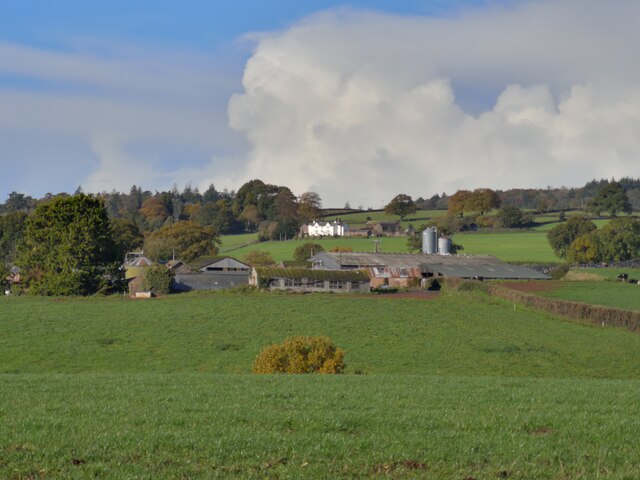
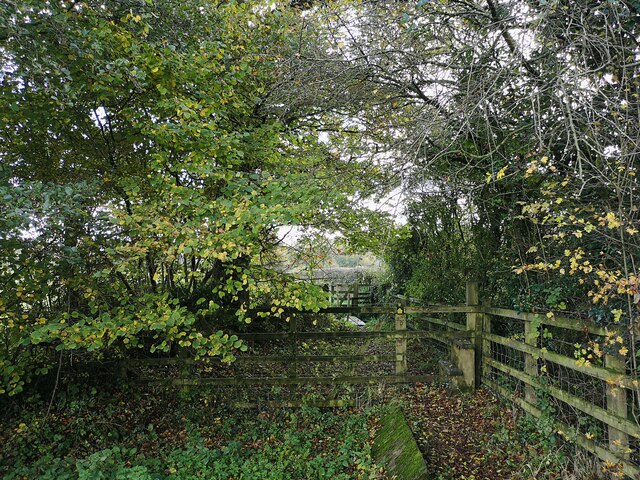
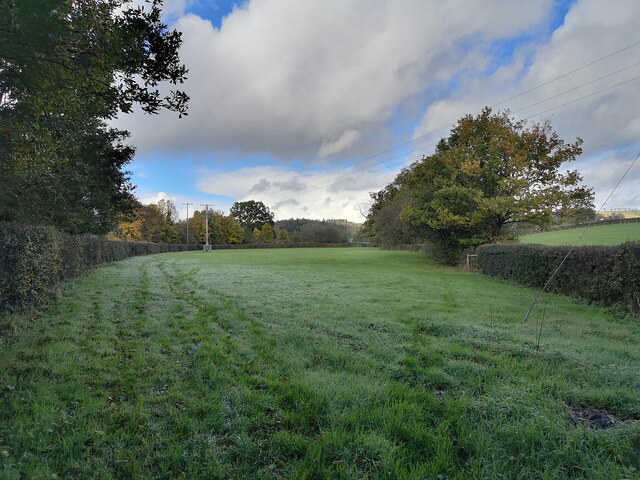
Knightshayes Plantation is a magnificent woodland area located in Tiverton, Devon. Spanning over 150 acres, this woodland paradise is a popular destination for nature lovers and outdoor enthusiasts alike.

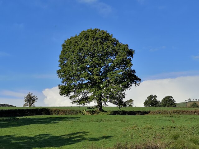
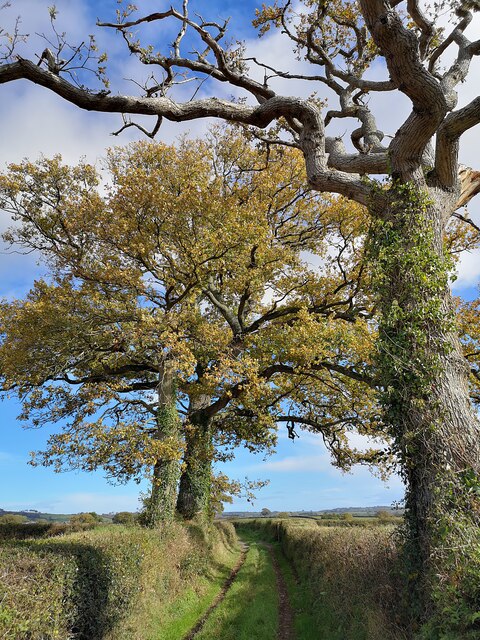
The plantation boasts a diverse range of tree species, including oak, beech, birch, and pine, creating a rich and vibrant forest canopy. The woodland floor is adorned with an array of native wildflowers, adding bursts of color to the landscape throughout the year.

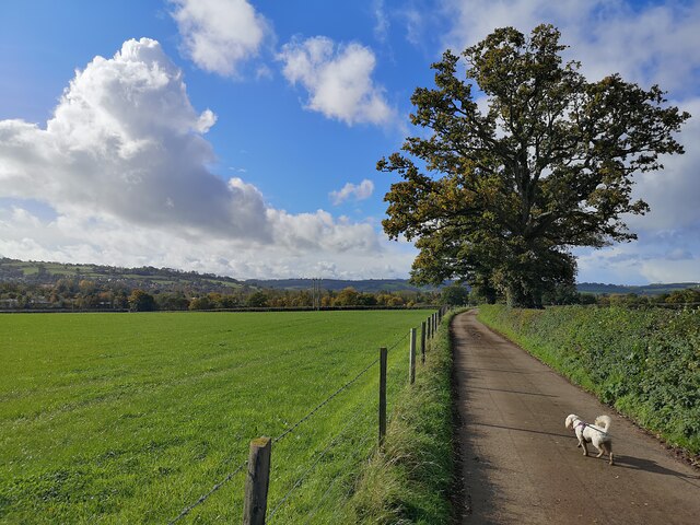
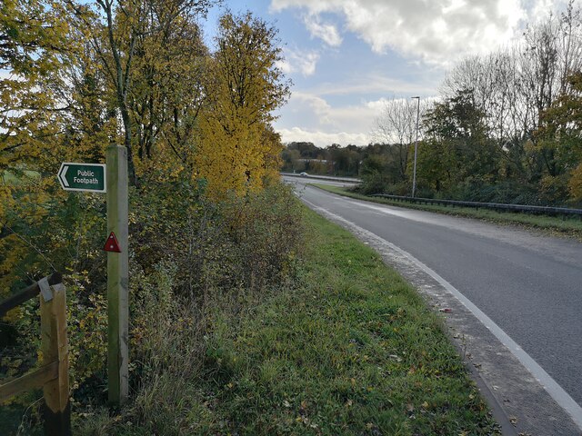
Visitors can explore the plantation through a network of well-maintained trails, which wind their way through the woodland and offer stunning views of the surrounding countryside. There are several viewpoints strategically placed along the trails, providing visitors with the opportunity to take in the breathtaking vistas and observe the local wildlife.

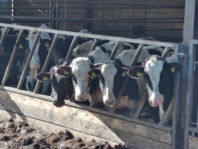
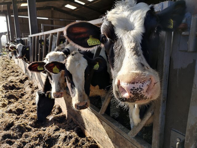
Knightshayes Plantation is also home to an abundance of wildlife, including deer, foxes, badgers, and a variety of bird species. Birdwatchers will be delighted to spot woodpeckers, buzzards, and owls among the trees.

In addition to its natural beauty, the plantation is steeped in history. It was originally part of the Knightshayes Estate, which dates back to the 19th century. The estate's manor house, designed by renowned architect William Burges, is a prominent feature on the landscape.

Overall, Knightshayes Plantation offers a captivating and tranquil escape from the hustle and bustle of everyday life. With its stunning woodland, diverse wildlife, and intriguing history, it is a must-visit destination for anyone seeking a peaceful and immersive nature experience in Devon.

If you have any feedback on the listing, please let us know in the comments section below.

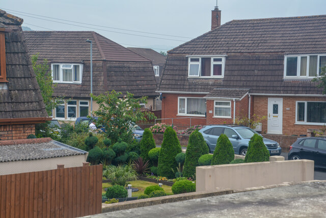
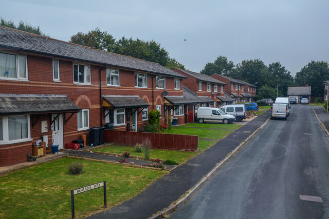
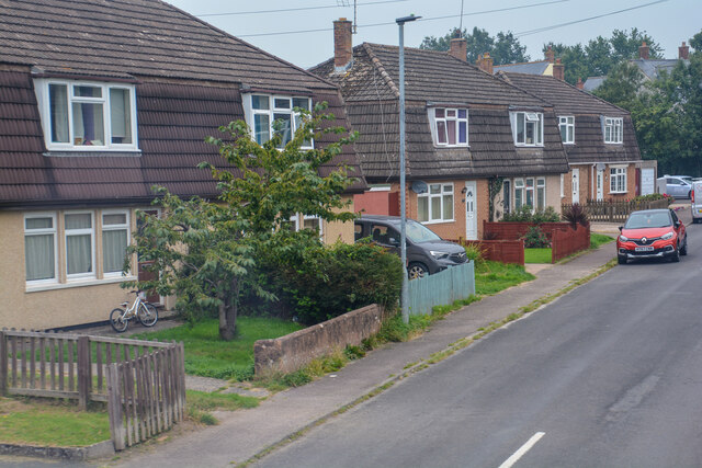
Knightshayes Plantation Images

Images are sourced within 2km of 50.928021/-3.476615 or Grid Reference SS9615. Thanks to Geograph Open Source API. All images are credited.

Tiverton : Grassy Field Looking towards Peadhill in Tiverton.
Tiverton : Grassy Field
Looking towards Peadhill in Tiverton.
Tiverton : Grassy Field A grassy field in the countryside.
Tiverton : Grassy Field
A grassy field in the countryside.
Tiverton : Peadhill Lane Peadhill Lane passes Peadhill Farm.
Tiverton : Peadhill Lane
Peadhill Lane passes Peadhill Farm.
Tiverton : Peadhill Farm Farm barns along Peadhill Lane.
Tiverton : Peadhill Farm
Farm barns along Peadhill Lane.
Tiverton : Peadhill Farm Cows chewing away on their feed.
Tiverton : Peadhill Farm
Cows chewing away on their feed.
Tiverton : Peadhill Farm Cows in the barn.
Tiverton : Peadhill Farm
Cows in the barn.
Tiverton : Grassy Field Looking towards a tree in a grassy field.
Tiverton : Grassy Field
Looking towards a tree in a grassy field.
Tiverton : Track A track heads to Peadhill Farm.
Tiverton : Track
A track heads to Peadhill Farm.
Tiverton : Little Gornhay Lane A small lane heading through the countryside.
Tiverton : Little Gornhay Lane
A small lane heading through the countryside.
Tiverton : North Devon Link Road A361 At the slipway. A footpath heads off the road to the left.
Tiverton : North Devon Link Road A361
At the slipway. A footpath heads off the road to the left.
Tiverton : Footpath The right of way heads from one field to the next.
Tiverton : Footpath
The right of way heads from one field to the next.
Tiverton : Grassy Field A grassy field in the countryside.
Tiverton : Grassy Field
A grassy field in the countryside.
Tiverton : Christmas Illuminations A snow scene at a house on Longmeadow.
Tiverton : Christmas Illuminations
A snow scene at a house on Longmeadow.
Tiverton : Beech Road Somebody has pointed out the damage done to the grass.
Tiverton : Beech Road
Somebody has pointed out the damage done to the grass.
Tiverton : Queensway Looking along Queensway in Tiverton.
Tiverton : Queensway
Looking along Queensway in Tiverton.
Tiverton : Queensway Queensway seen from Beech Road.
Tiverton : Queensway
Queensway seen from Beech Road.
Tiverton : Romans Way Looking along Romans Way.
Tiverton : Romans Way
Looking along Romans Way.
Tiverton : The Close Looking along The Close.
Tiverton : The Close
Looking along The Close.
Show me another place!

Knightshayes Plantation is located at Grid Ref: SS9615 (Lat: 50.928021, Lng: -3.476615)

Administrative County: Devon

District: Mid Devon

Police Authority: Devon and Cornwall

What 3 Words

///lifestyle.saturate.dented. Near Tiverton, Devon

Related Wikis

Knightshayes Court

Knightshayes Court is a Victorian country house near Tiverton, Devon, England, designed by William Burges for the Heathcoat-Amory family. Nikolaus Pevsner...

Chevithorne

Chevithorne (grid reference SS9715) is a small village near Tiverton, Devon. It lies three miles to the North East of Tiverton. 'Chenetorne' is identified...
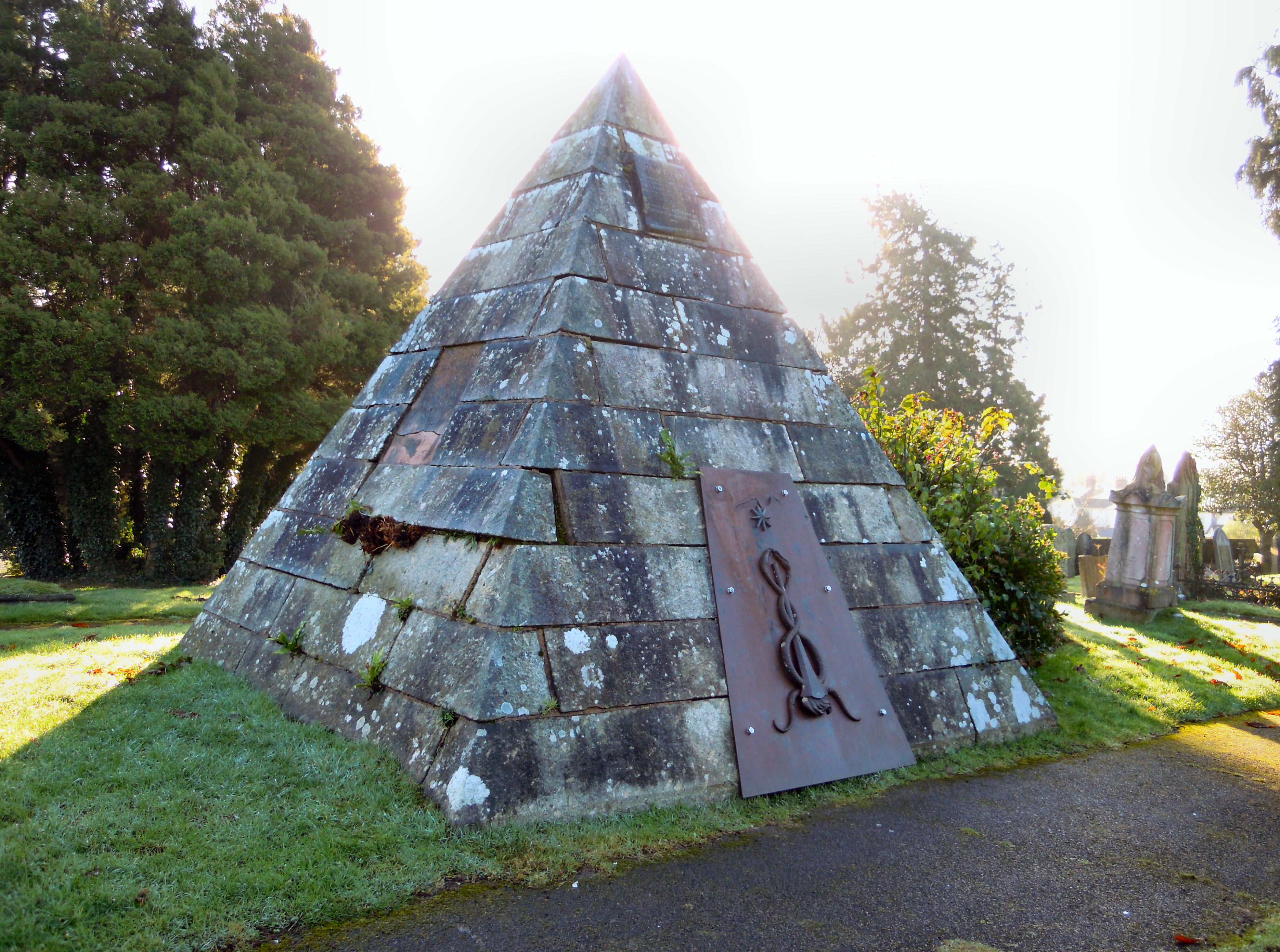
Tiverton Cemetery

Tiverton Cemetery is the burial ground for the town of Tiverton in Devon. The cemetery covers eight acres and is owned and maintained by Mid Devon Council...

Bolham, Devon

Bolham is a village in the parish of Tiverton in Devon, England. It was the object of much attention in December 2011 when a Stags head, said to resemble...

Nearby Amenities

Located within 500m of 50.928021,-3.476615
Barrier: bollard
Lat/Long: 50.9308885/-3.4819948
Knightshayes Court
Operator: National Trust
Tourism: attraction
Wikidata: Q6531636
Lat/Long: 50.9268584/-3.4810207
Restaurant
Stables Cafe
Operator: National Trust
Lat/Long: 50.9283568/-3.4793734
Operator: National Trust
Shop: garden_centre
Lat/Long: 50.9285209/-3.4791624
Crossing
Lat/Long: 50.9281608/-3.4804826
Cafe
Knightshayes
Addr City: Tiverton
Addr Postcode: EX16 7RQ
Fhrs Id: 8113
Operator: National Trust
Outdoor Seating: yes
Source Addr Postcode: FHRS Open Data
Lat/Long: 50.9264024/-3.4812354
Bench
Lat/Long: 50.9266284/-3.482371
44-21174
Aircraft Type: Republic P47M
Crash Date: 01 May 1945
Crash Site: aircraft
Historic: crash_site
Note: approx location
Operator: USAF
Lat/Long: 50.9241229/-3.4741977
Shelter
Lat/Long: 50.9260885/-3.4774841
Bench
Lat/Long: 50.9254988/-3.4792956
Power: pole
Source: bing
Lat/Long: 50.9293829/-3.4714471
Power: pole
Source: bing
Transformer: distribution
Lat/Long: 50.9295767/-3.4720069
Power: pole
Source: bing
Lat/Long: 50.9299232/-3.4702206
Power: pole
Source: bing
Lat/Long: 50.9287381/-3.4703386
Power: pole
Source: bing
Lat/Long: 50.9268979/-3.4722604
Power: pole
Source: bing
Lat/Long: 50.9252757/-3.4711647
Power: pole
Source: bing
Lat/Long: 50.9259385/-3.4706122
Power: pole
Source: bing
Lat/Long: 50.926706/-3.4705478
Power: pole
Source: bing
Lat/Long: 50.9277086/-3.4704378
Power: pole
Source: bing
Lat/Long: 50.9289038/-3.4816669
Power: pole
Source: bing
Lat/Long: 50.929138/-3.4829946
Vending Machine
Operator: National Trust
Vending: parking_tickets
Lat/Long: 50.9277731/-3.4788051
Toilets
Access: yes
Changing Table: yes
Not Operator Wikidata: Q333515
Operator: National Trust
Wheelchair: yes
Lat/Long: 50.928361/-3.4795732
Second-hand bookstore
Operator: National Trust
Shop: books
Lat/Long: 50.9284857/-3.4796375
Operator: National Trust
Shop: gift
Lat/Long: 50.9285313/-3.4794495
The data included in this document is from www.openstreetmap.org. The data is made available under ODbL.

Have you been to Knightshayes Plantation?

Leave your review of Knightshayes Plantation below (or comments, questions and feedback).