Curling Pond Wood
Wood, Forest in Lanarkshire
Scotland
Curling Pond Wood
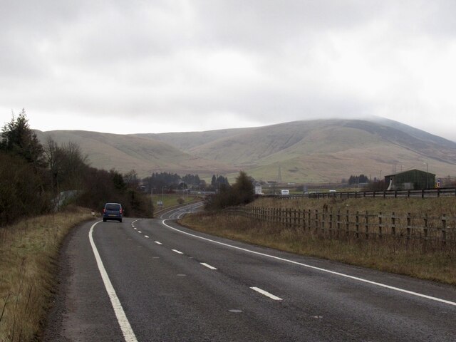
Curling Pond Wood is a charming woodland located in the county of Lanarkshire, Scotland. Spread over an area of approximately [insert size], this forest offers a tranquil escape for nature enthusiasts and outdoor lovers alike.
The wood derives its name from the historic sport of curling, which was popular in the region during the 18th and 19th centuries. The pond within the wood was once used as a playing surface for this traditional Scottish game, adding a touch of historical significance to the area.
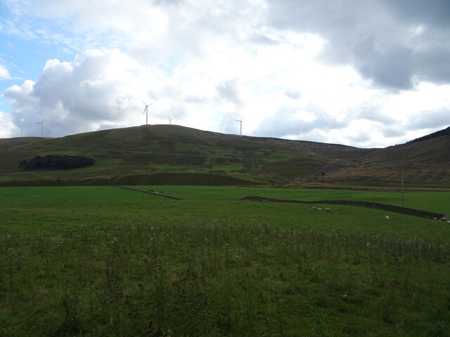
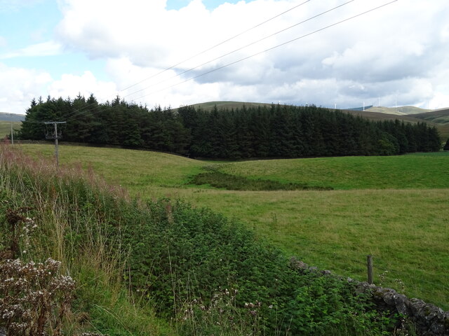
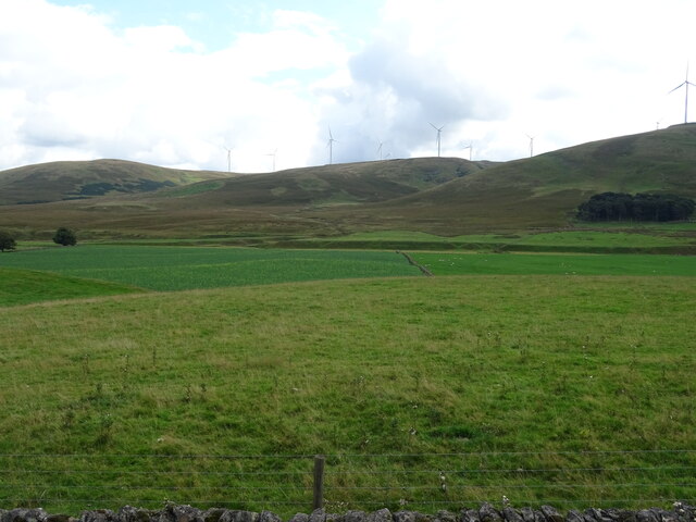
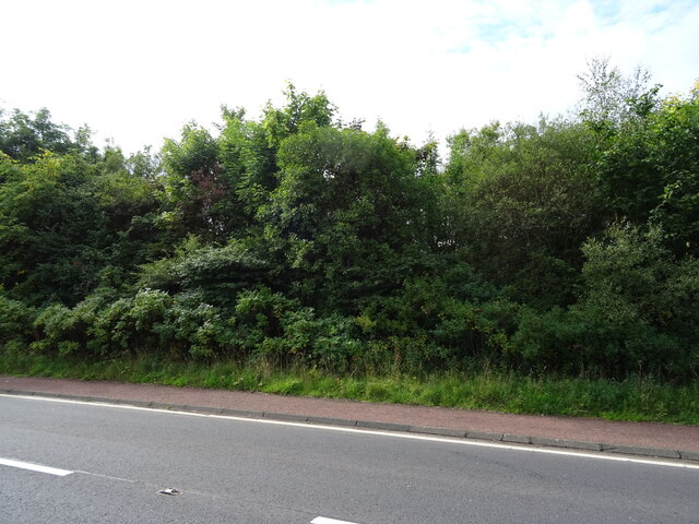
Visitors to Curling Pond Wood can expect to be greeted by a diverse range of flora and fauna. The forest is predominantly made up of native Scottish trees such as oak, birch, and rowan, creating a beautiful and immersive natural environment. The woodland floor is carpeted with an array of wildflowers during the spring and summer months, providing a burst of color and fragrance.
The wood is also home to a variety of wildlife, including red squirrels, roe deer, and a wide range of bird species. Birdwatchers will delight in the chance to spot species such as woodpeckers, owls, and various songbirds that call this woodland their home.
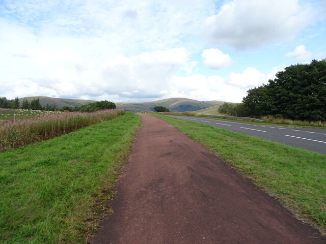
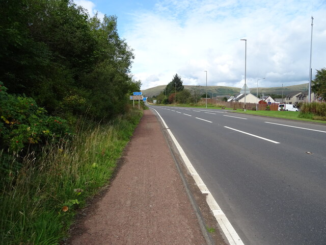
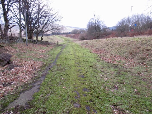
For those seeking outdoor activities, Curling Pond Wood offers several walking trails that meander through the forest. These well-maintained paths provide an opportunity to explore the wood at one's own pace, allowing visitors to fully immerse themselves in the peaceful surroundings.
Curling Pond Wood is a true gem in Lanarkshire, offering a slice of natural beauty and a glimpse into the region's history. Whether you are a nature lover, a history enthusiast, or simply seeking a tranquil escape, this woodland is sure to captivate and inspire.
If you have any feedback on the listing, please let us know in the comments section below.
Curling Pond Wood Images
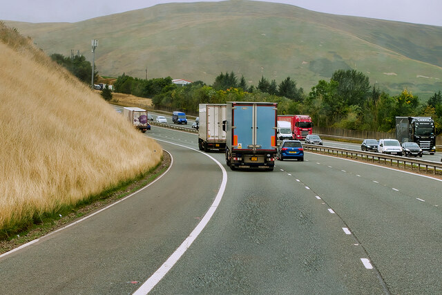
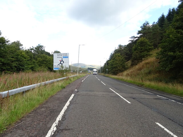
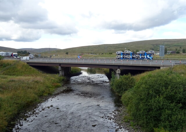
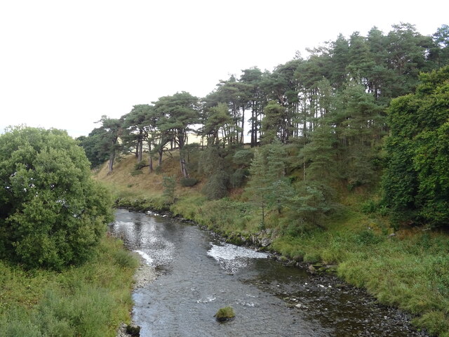
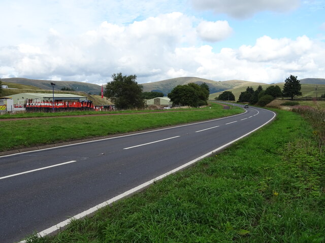
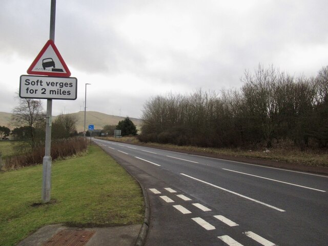
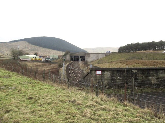
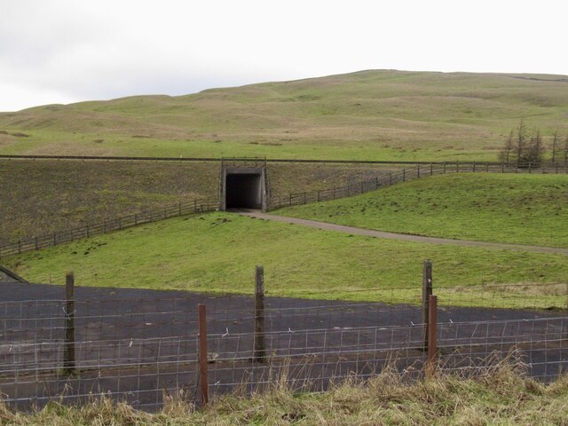
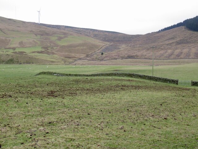
Images are sourced within 2km of 55.458887/-3.6402929 or Grid Reference NS9619. Thanks to Geograph Open Source API. All images are credited.

Curling Pond Wood is located at Grid Ref: NS9619 (Lat: 55.458887, Lng: -3.6402929)
Unitary Authority: South Lanarkshire
Police Authority: Lanarkshire
What 3 Words
///animals.adjusting.smirking. Near Douglas, South Lanarkshire
Nearby Locations
Related Wikis
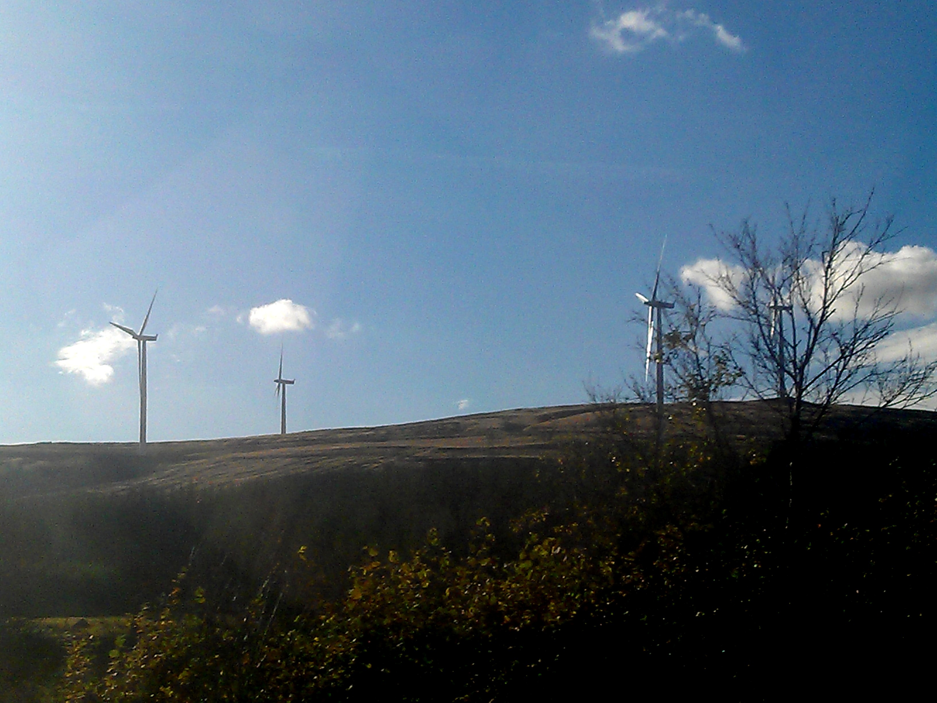
Clyde Wind Farm
The Clyde Wind Farm is a 522 megawatt (MW) wind farm near Abington in South Lanarkshire, Scotland. == Planning == The first stage of the project consists...

Crawford, South Lanarkshire
Crawford is a village and civil parish in South Lanarkshire, Scotland.Crawford is close to the source of the River Clyde and the A74(M) motorway, 50 miles...

Crawford railway station (Scotland)
Crawford railway station was a station which served the village of Crawford, near Abington, in the Scottish county of South Lanarkshire. It was served...
Crawford Castle
Crawford Castle, substantially in ruins, is located on the north bank of the River Clyde, around 1⁄2 mile (800 metres) north of Crawford, South Lanarkshire...
Nearby Amenities
Located within 500m of 55.458887,-3.6402929Have you been to Curling Pond Wood?
Leave your review of Curling Pond Wood below (or comments, questions and feedback).