Roundel Plantation
Wood, Forest in Clackmannanshire
Scotland
Roundel Plantation
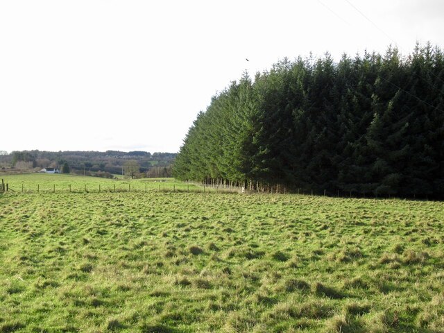
Roundel Plantation is a picturesque woodland located in Clackmannanshire, Scotland. Covering an area of approximately 100 hectares, it is a popular destination for nature enthusiasts and outdoor enthusiasts alike. The plantation is known for its dense forest of predominantly native trees, creating a tranquil and serene environment for visitors to explore.
The woodland is home to a diverse range of plant and animal species, making it an important ecological site. Native trees such as oak, birch, and rowan can be found throughout the plantation, providing a rich habitat for various birds, insects, and small mammals. The forest floor is adorned with an array of wildflowers, adding bursts of color to the landscape during the warmer months.
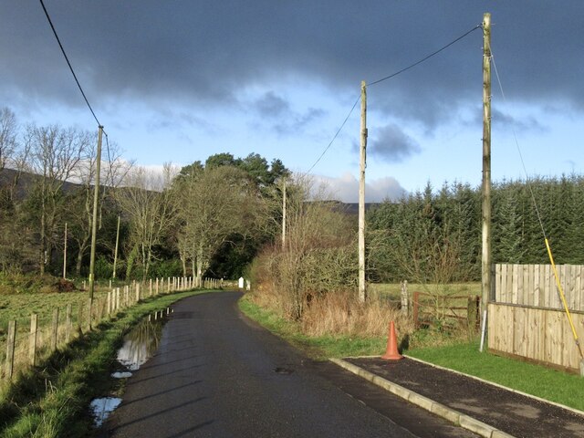
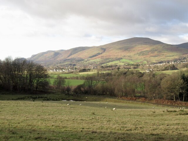
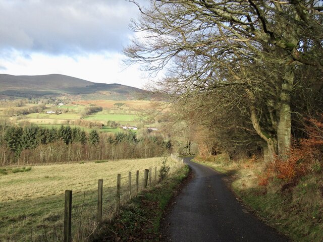
Roundel Plantation offers an extensive network of walking trails, allowing visitors to fully immerse themselves in the natural beauty of the area. These paths cater to all levels of fitness and offer stunning views of the surrounding countryside. The plantation is also intersected by a small river, further enhancing its scenic charm.
In addition to its natural beauty, Roundel Plantation offers various recreational activities. The woodland is equipped with picnic areas and benches, providing a perfect spot for visitors to relax and enjoy a picnic amidst the peaceful surroundings. Birdwatching is also a popular activity, with the opportunity to spot a wide range of bird species throughout the year.
Overall, Roundel Plantation in Clackmannanshire is a captivating woodland, offering a haven of tranquility and natural splendor. Whether it's exploring the diverse wildlife, embarking on scenic walks, or simply enjoying a peaceful picnic, this woodland provides a delightful escape from the hustle and bustle of everyday life.
If you have any feedback on the listing, please let us know in the comments section below.
Roundel Plantation Images
Images are sourced within 2km of 56.15194/-3.6697226 or Grid Reference NS9696. Thanks to Geograph Open Source API. All images are credited.
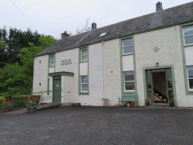
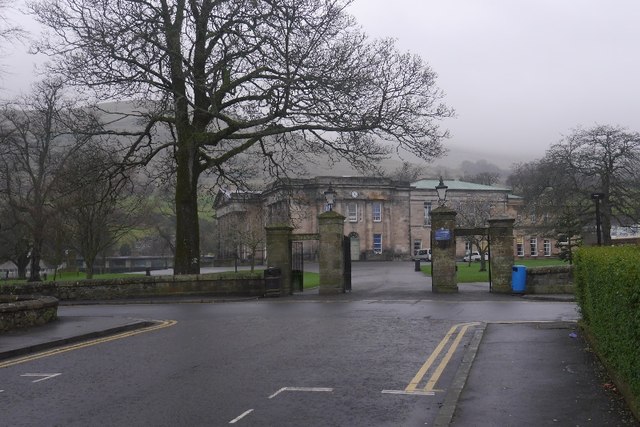
![Burnside House, Dollar 24 West Burnside, with a magnificent Clematis montana, and the former home of Lavinia Malcolm [1883-1910], First Woman Town Councillor and First Woman Provost in Scotland. For detail of the blue badge see <a href="https://www.geograph.org.uk/photo/7164908">NS9698 : Blue badge for Lavinia Malcolm, Dollar</a> and <a href="https://www.geograph.org.uk/photo/7164909">NS9698 : Blue badge for Lavinia Malcolm, Dollar</a>.](https://s0.geograph.org.uk/geophotos/07/16/49/7164904_dd67e32d.jpg)
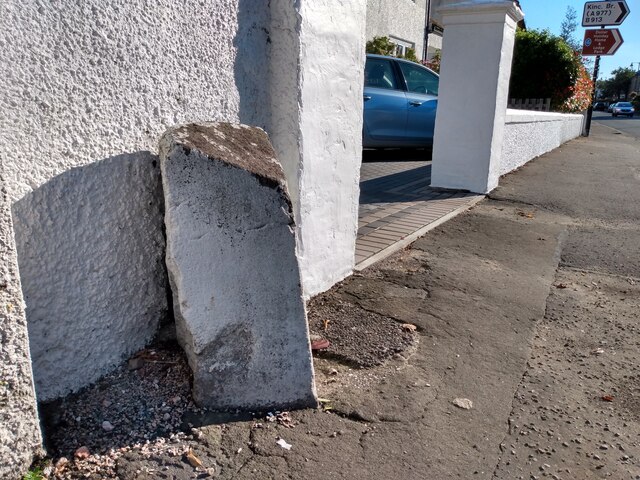
![Blue badge for Lavinia Malcolm, Dollar At 24 West Burnside <a href="https://www.geograph.org.uk/photo/7164904">NS9698 : Burnside House, Dollar</a>, the former home of Lavinia Malcolm [1883-1910], First Woman Town Councillor and First Woman Provost in Scotland. The masonry style, with several smaller stones between larger ones is called Edinburgh bond, as I recall, but I&#039;m open to correction.](https://s0.geograph.org.uk/geophotos/07/16/49/7164908_d38cb814.jpg)
![Blue badge for Lavinia Malcolm, Dollar At 24 West Burnside <a href="https://www.geograph.org.uk/photo/7164904">NS9698 : Burnside House, Dollar</a>, the former home of Lavinia Malcolm [1883-1910], First Woman Town Councillor and First Woman Provost in Scotland. The masonry style, with several smaller stones between larger ones is called Edinburgh bond, as I recall, but I&#039;m open to correction.](https://s1.geograph.org.uk/geophotos/07/16/49/7164909_947f9e8d.jpg)
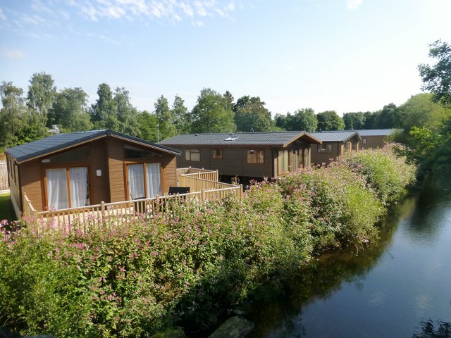
![Dollar Burn, looking across to East Burnside The clumps of white flowers are Wild Garlic or Ramsons [Allium ursinum].](https://s2.geograph.org.uk/geophotos/07/16/49/7164914_400982c9.jpg)


Roundel Plantation is located at Grid Ref: NS9696 (Lat: 56.15194, Lng: -3.6697226)
Unitary Authority: Clackmannanshire
Police Authority: Forth Valley
What 3 Words
///decreased.repayment.imagined. Near Dollar, Clackmannanshire
Nearby Locations
Related Wikis

Devon Way
Devon Way is a pathway in Clackmannanshire, Central Scotland. It lies on the southern section of the former Devon Valley Railway from Dollar to Tillicoultry...

Dollar railway station
Dollar railway station served the village of Dollar, Clackmannanshire, Scotland from 1869 to 1964 on the Devon Valley Railway. == History == The station...

Dollar, Clackmannanshire
Dollar (Scottish Gaelic: Dolair) is a small town with a population of 2,800 people in Clackmannanshire, Scotland. It is 12 miles (19 kilometres) east of...

Dollar Glen
Dollar Glen is a small glen (valley) owned by the National Trust for Scotland. It is located in the Ochils that dramatically mark the Highland fault. It...

Blairingone
Blairingone is a village in Perth and Kinross, Scotland. It lies on the A977 road at its intersection with Vicar's Bridge Road near the extreme south-westerly...
Castle Campbell
Castle Campbell is a medieval castle situated above the town of Dollar, Clackmannanshire, in central Scotland. It was the lowland seat of the earls and...

Harviestoun
Harviestoun is an estate in Tillicoultry parish, Clackmannanshire, central Scotland. It lies at the base of the Ochil Hills, around 1.5 kilometres (0.93...

Forestmill
Forestmill (or Forest Mill) is a small hamlet in the county of Clackmannanshire, Scotland. It is situated on the A977 road between Kincardine and Kinross...
Nearby Amenities
Located within 500m of 56.15194,-3.6697226Have you been to Roundel Plantation?
Leave your review of Roundel Plantation below (or comments, questions and feedback).