Foswell Low Wood
Wood, Forest in Perthshire
Scotland
Foswell Low Wood
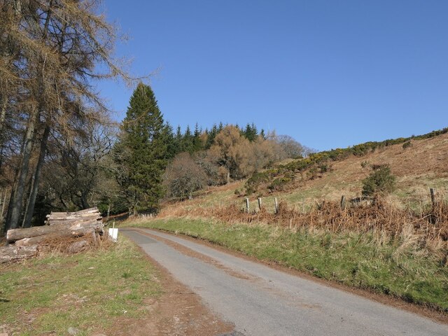
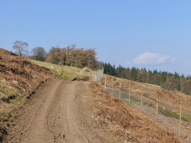
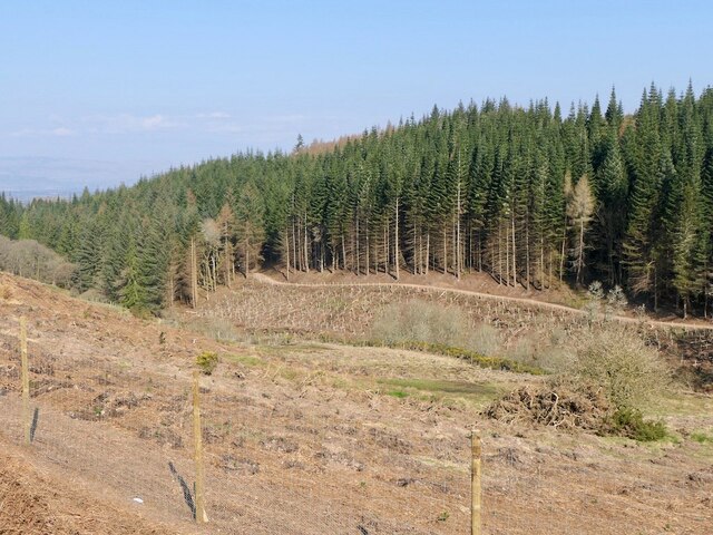
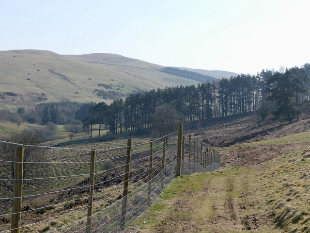
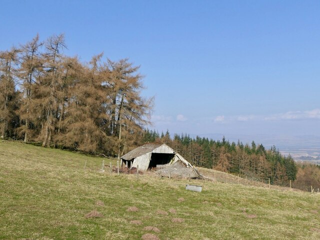
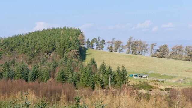
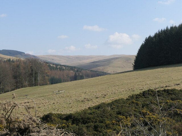
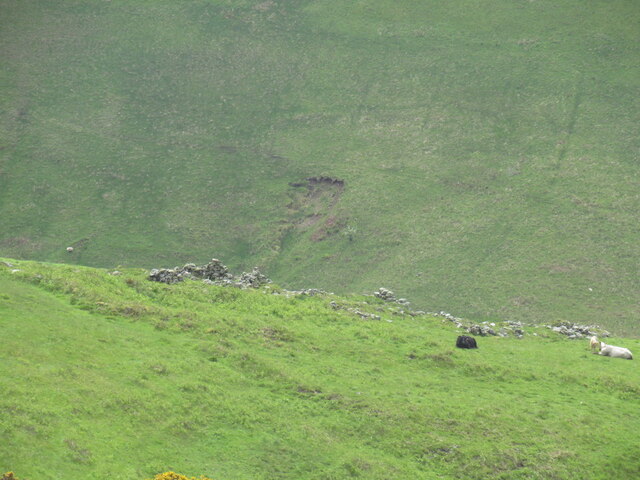
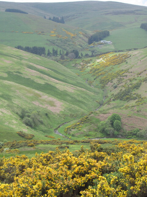
Foswell Low Wood is a picturesque forest located in Perthshire, Scotland. Nestled amidst the stunning landscapes of the region, this wood offers a tranquil escape for nature enthusiasts and outdoor adventurers alike. Covering an expansive area, Foswell Low Wood is home to a diverse range of flora and fauna, making it an ideal destination for wildlife spotting and nature walks.
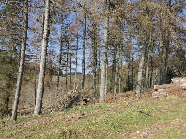
The forest is characterized by its dense canopy of trees, mainly consisting of indigenous species such as oak, birch, and pine. The towering trees provide a cool shade during hot summer days and a beautiful palette of colors during autumn. Walking through the forest, visitors can enjoy the soothing sounds of birds chirping and the rustling of leaves underfoot.
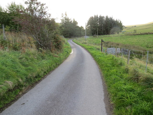
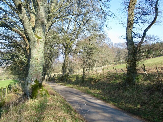
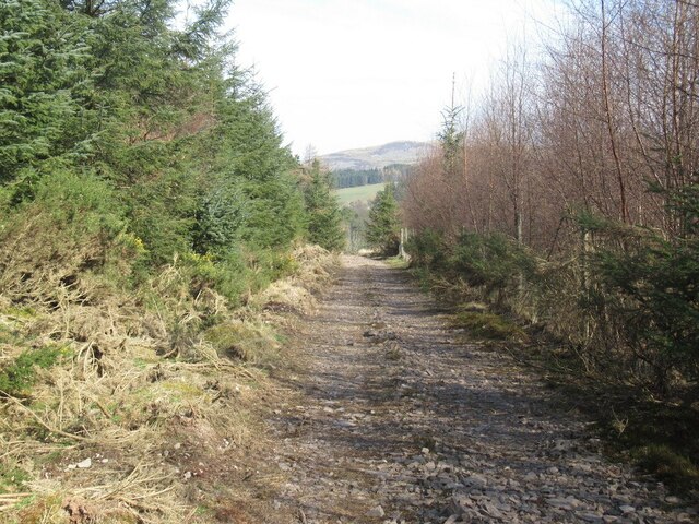
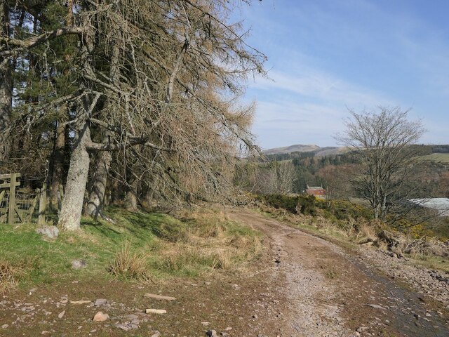
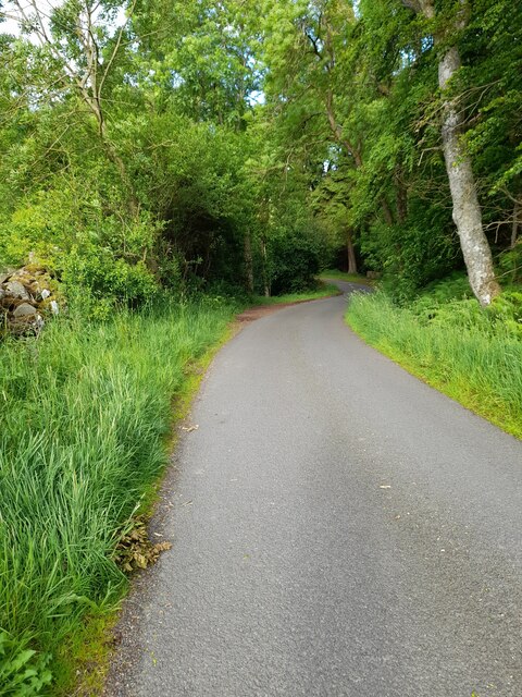
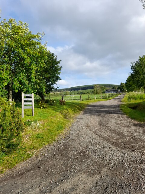
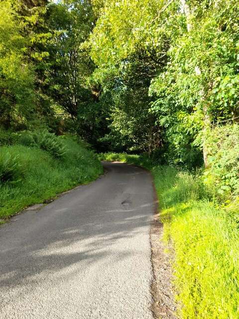
Foswell Low Wood is crisscrossed by a network of well-maintained trails, allowing visitors to explore its scenic beauty at their own pace. These paths offer opportunities for hiking, jogging, or simply leisurely strolls, providing a chance to immerse oneself in the peaceful surroundings. Along the way, hikers may come across charming streams and small ponds, adding to the natural charm of the wood.
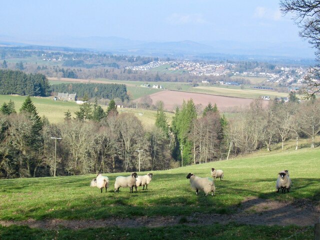
The forest not only offers a serene environment but also serves as a habitat for various wildlife species. Lucky visitors may spot red squirrels, deer, and a variety of bird species, making it a popular spot for wildlife photography and birdwatching.
Overall, Foswell Low Wood is a hidden gem in Perthshire, offering a peaceful retreat for those seeking solace in nature's embrace. With its scenic beauty, diverse flora and fauna, and well-maintained trails, it is a must-visit destination for nature lovers and outdoor enthusiasts.
If you have any feedback on the listing, please let us know in the comments section below.
Foswell Low Wood Images
Images are sourced within 2km of 56.274566/-3.6752409 or Grid Reference NN9610. Thanks to Geograph Open Source API. All images are credited.
Foswell Low Wood is located at Grid Ref: NN9610 (Lat: 56.274566, Lng: -3.6752409)
Unitary Authority: Perth and Kinross
Police Authority: Tayside
What 3 Words
///tiny.something.windows. Near Auchterarder, Perth & Kinross
Nearby Locations
Related Wikis

Old Kincardine Castle, Auchterarder
Old Kincardine Castle was a 13th-century castle near Auchterarder in Perth and Kinross, Scotland. The castle was located on a promontory overlooking the...
Kincardine Castle, Auchterarder
Kincardine Castle is a 19th-century manor house near Auchterarder in Perth and Kinross, Scotland. The building lies 1.5 kilometres (0.93 mi) south-west...

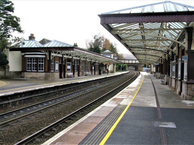
Auchterarder railway station
Auchterarder railway station served the village of Auchterarder near Gleneagles in the Scottish county of Perth and Kinross. == History == Opened by the...

Auchterarder
Auchterarder ( ; Scottish Gaelic: Uachdar Àrdair, meaning Upper Highland) is a town north of the Ochil Hills in Perth and Kinross, Scotland, and home to...

Aytoun Hall
Aytoun Hall, also referred to as Auchterarder Town Hall, is a municipal building in the High Street, Auchterarder, Perth and Kinross, Scotland. The structure...
Community School of Auchterarder
The Community School of Auchterarder (TCSoA) (formerly Auchterarder High School) is a small to medium-sized school with a nursery, primary and secondary...

St Margaret's Hospital, Auchterarder
St Margaret's Hospital is a health facility in Western Road, Auchterarder, Scotland. It is managed by NHS Tayside. It is a Category B listed building....
Gleneagles railway station
Gleneagles railway station serves the town of Auchterarder in Perth and Kinross, Scotland. == History == The station was opened by the Scottish Central...
Nearby Amenities
Located within 500m of 56.274566,-3.6752409Have you been to Foswell Low Wood?
Leave your review of Foswell Low Wood below (or comments, questions and feedback).