Duncan's Plantation
Wood, Forest in Kirkcudbrightshire
Scotland
Duncan's Plantation

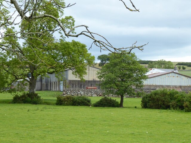
Duncan's Plantation is a remarkable woodland located in Kirkcudbrightshire, a historical county in southwest Scotland. Situated on the outskirts of the charming town of Kirkcudbright, this plantation spans over a vast area of lush greenery, forming an integral part of the region's natural landscape.
The plantation is primarily composed of a diverse mix of tree species, including oak, birch, ash, and pine, among others. These trees form a dense canopy that provides a haven for a wide range of wildlife, making it a popular destination for nature enthusiasts and birdwatchers. The plantation is home to numerous bird species, such as woodpeckers, owls, and various songbirds, creating a delightful symphony of sounds throughout the year.
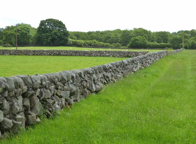
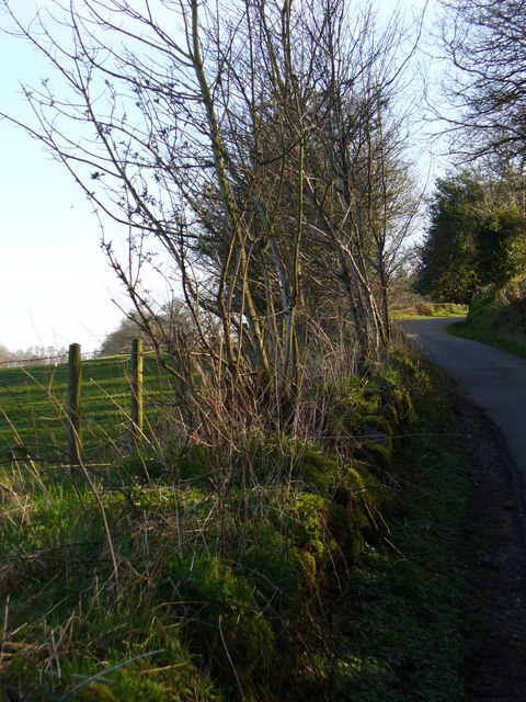
Traversing through Duncan's Plantation reveals a network of well-maintained trails, allowing visitors to explore the woodland at their own pace. The paths wind through the forest, offering glimpses of picturesque vistas and tranquil spots, perfect for picnics or quiet contemplation.
Furthermore, Duncan's Plantation holds historical significance, dating back several centuries. It is believed that the plantation was originally established as part of an estate owned by a local landowner named Duncan MacLeod. The area has witnessed various uses over time, from timber production to recreational purposes, but it has remained a cherished natural asset for the community.
Overall, Duncan's Plantation in Kirkcudbrightshire is a captivating woodland that blends natural beauty, wildlife, and a touch of history. Whether it's for leisurely walks, birdwatching, or simply immersing oneself in the serenity of nature, this plantation offers a memorable experience for all who visit.
If you have any feedback on the listing, please let us know in the comments section below.
Duncan's Plantation Images
Images are sourced within 2km of 55.003509/-3.6216218 or Grid Reference NX9668. Thanks to Geograph Open Source API. All images are credited.


Duncan's Plantation is located at Grid Ref: NX9668 (Lat: 55.003509, Lng: -3.6216218)
Unitary Authority: Dumfries and Galloway
Police Authority: Dumfries and Galloway
What 3 Words
///straying.tools.hears. Near Dumfries, Dumfries & Galloway
Nearby Locations
Related Wikis

River Nith
The River Nith (Scottish Gaelic: Abhainn Nid; Common Brittonic: Nowios) is a river in south-west Scotland. The Nith rises in the Carsphairn hills of East...

National Museum of Costume
The National Museum of Costume was located at Shambellie House, in New Abbey, Dumfries and Galloway, Scotland and it formed part of the National Museums...

Sweetheart Abbey
The Abbey of Dulce Cor, better known as Sweetheart Abbey (Gaelic: An Abaid Ur), was a Cistercian monastery founded in 1275 in what is now the village of...
New Abbey
New Abbey (Scottish Gaelic: An Abaid Ùr) is a village in the historical county of Kirkcudbrightshire in Dumfries and Galloway, Scotland. It is 6 miles...

Mabie, Dumfries and Galloway
Mabie is a collection of mountain biking routes located in Dumfries and Galloway, southwest Scotland. The mountain bike routes are part of the 7Stanes...
Abbey Vale F.C.
Abbey Vale Football Club are a football club based in the village of New Abbey in the historical county of Kirkcudbright shire in the Dumfries and Galloway...

Glencaple
Glencaple is a small settlement in the Dumfries and Galloway area of Scotland. Situated on the banks of the River Nith, it once served as a port for nearby...
Pict's Knowe
Pict's Knowe (grid reference NX 9538 7213) is a henge monument in the parish of Troqueer, Dumfries and Galloway. It is one of a small group of henge monuments...
Nearby Amenities
Located within 500m of 55.003509,-3.6216218Have you been to Duncan's Plantation?
Leave your review of Duncan's Plantation below (or comments, questions and feedback).