Muness Castle

Heritage Site in Shetland

Scotland

Muness Castle

Ruined crofthouse on the Ness of Ramnageo
Ruined crofthouse on the Ness of Ramnageo Credit: Mike Pennington

Muness Castle is a historic site located on the island of Unst in the Shetland Islands, Scotland. It is considered one of the finest examples of a fortified tower house in the country. Built in the late 16th century, Muness Castle was constructed by Laurence Bruce, the half-brother of Robert Stewart, Earl of Orkney. The castle was designed to showcase Bruce's wealth and power.

The castle's architecture follows the traditional Scottish tower house style, consisting of four stories and a garret. It is rectangular in shape, with a central courtyard and a round tower at one corner. The walls are constructed of locally quarried stone and are up to six feet thick in some places, providing excellent defense during its early years.

Inside the castle, visitors can explore the various rooms, including a great hall, a kitchen, and private chambers. The great hall features a large fireplace and ornate plasterwork, showcasing the wealth and status of its inhabitants. The castle also offers stunning views of the surrounding landscape, including the nearby Muness Bay.

Muness Castle has a rich history, having survived numerous conflicts and changes in ownership over the centuries. In 1627, it was sold to the Cheyne family, who held it until the 18th century. Today, the castle is a protected historic monument and is open to the public. It is managed by Historic Environment Scotland, which ensures its preservation and provides information to visitors about its fascinating past.

If you have any feedback on the listing, please let us know in the comments section below.

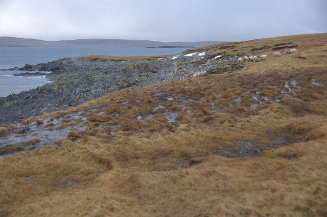
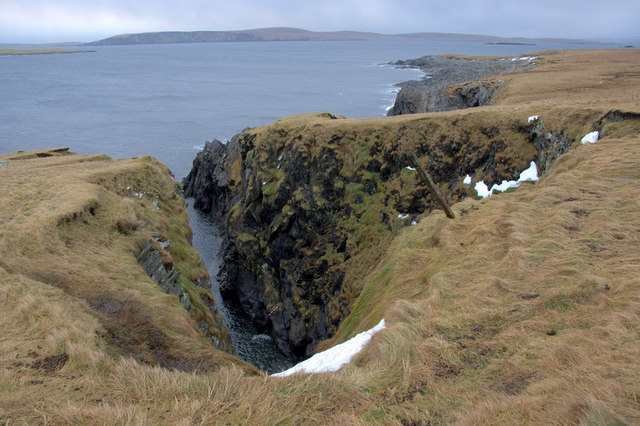
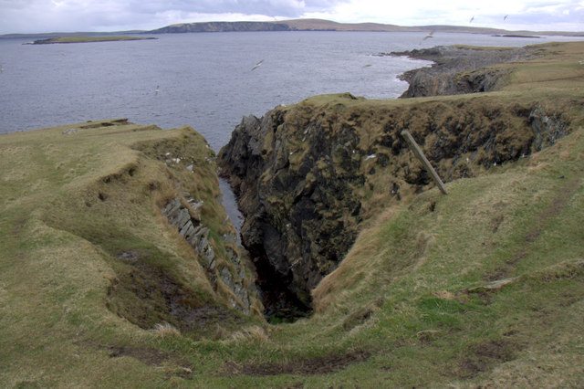
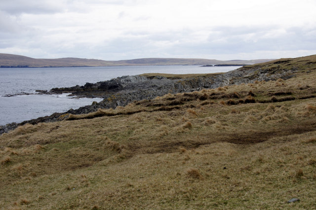
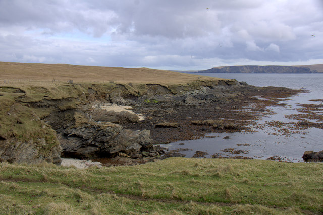
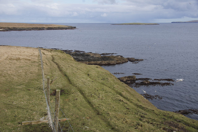
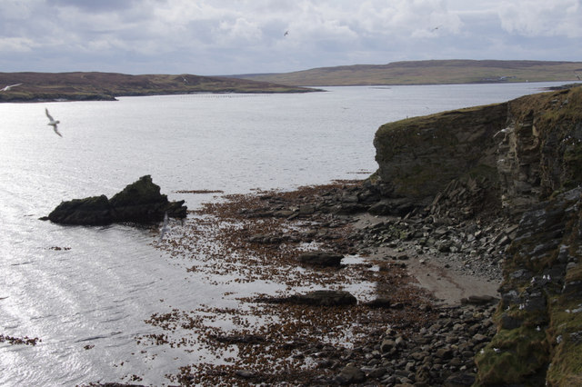
Muness Castle Images

Images are sourced within 2km of 60.692/-0.855 or Grid Reference HP6201. Thanks to Geograph Open Source API. All images are credited.

Ruined crofthouse on the Ness of Ramnageo
Ness of Ramnageo A ruined planticrub (shelter for growing crops) on the Ness; Fetlar is in the distance.
Ness of Ramnageo
A ruined planticrub (shelter for growing crops) on the Ness; Fetlar is in the distance.
Beaches on the west of the Ness of Ramnageo The ruined croft at Littlegarth can just be seen in the distance.
Beaches on the west of the Ness of Ramnageo
The ruined croft at Littlegarth can just be seen in the distance.
Coastline below Littlegarth Uyea isle is in the distance.
Coastline below Littlegarth
Uyea isle is in the distance.
Cliffs at Littlegarth Fulmars are beginning to return to ledges left empty for most of the winter.
Cliffs at Littlegarth
Fulmars are beginning to return to ledges left empty for most of the winter.
Wick of Fauld Looking across the wick from Littlegarth towards Ramnageo.
Wick of Fauld
Looking across the wick from Littlegarth towards Ramnageo.
Beach on Ness of Ramnageo Looking towards Fetlar.
Beach on Ness of Ramnageo
Looking towards Fetlar.
Wick of Fauld from Ramnageo Looking towards Littlegarth.
Wick of Fauld from Ramnageo
Looking towards Littlegarth.
Ness of Ramnageo Looking out towards Wedder Holm, with Fetlar in the distance.
Ness of Ramnageo
Looking out towards Wedder Holm, with Fetlar in the distance.
Scranklings, Ness of Ramnageo This unusual piece of coastline along the east side of the Ness of Ramnageo has the strangely appropriate-sounding name of Scranklings, according to the 1:10,000 map.
Scranklings, Ness of Ramnageo
This unusual piece of coastline along the east side of the Ness of Ramnageo has the strangely appropriate-sounding name of Scranklings, according to the 1:10,000 map.
Stubbi Geos, Ramnageo I had always assumed that at least one of these geos was the eponymous Ramnageo ('Raven's geo') but according to the map they are named Stubbi Geos.
Stubbi Geos, Ramnageo
I had always assumed that at least one of these geos was the eponymous Ramnageo ('Raven's geo') but according to the map they are named Stubbi Geos.
Wester Stubbi Geo, Ness of Ramnageo Looking south towards Fetlar, with Haaf Gruney on the left and Wedder Hom on the right.
Wester Stubbi Geo, Ness of Ramnageo
Looking south towards Fetlar, with Haaf Gruney on the left and Wedder Hom on the right.
Easter Stubbi Geo, Ness of Ramnageo The top of the cliff is in one gridsquare, but the bottom of the cliff is in the next.
Easter Stubbi Geo, Ness of Ramnageo
The top of the cliff is in one gridsquare, but the bottom of the cliff is in the next.
Stubbi Geos, Ramnageo, Muness
Scranklings, Ness of Ramnageo, Muness
Gorse Geos, Ness of Ramnageo, Muness
The Raabs, Ness of Littlegarth, Muness
Fugla Stack, Ness of Littlegarth
Show me another place!

Muness Castle is located at Grid Ref: HP6201 (Lat: 60.692, Lng: -0.855)

Unitary Authority: Shetland Islands

Police Authority: Highlands and Islands

What 3 Words

///stopwatch.dealings.yield. Near Uyeasound, Shetland Islands

Related Wikis

Muness Castle

Muness Castle is located on Unst, which is one of the Shetland Islands of Scotland. The castle is 3 kilometres (1.9 mi) east of the village of Uyeasound...

Mailand, Shetland

Mailand is a hamlet in the Shetland Islands. It is on the island of Unst, the northernmost of the inhabited British Isles, near its southern coast. �...

Clivocast

Clivocast is a settlement on the island of Unst in the Shetland Islands, Scotland at 60.67°N 00.90°W / 60.67; -00.90 or grid reference HP6000 and is situated...

Haaf Gruney

Haaf Gruney is a small island in the north east of the Shetland Islands. == Geography and geology == The island is between Unst and Fetlar which are to...

Uyeasound

Uyeasound is a village on the Isle of Unst, the northernmost island of the Shetland Islands, Scotland. It takes its name from the neighbouring strait of...

Uyea, Unst

Uyea (Scots: Uyea) is an uninhabited island, lying south of Unst in Shetland, Scotland. == History == The island was inhabited as early as the Bronze Age...

Huney

Huney is an uninhabited island due east of the island of Unst in the Shetland Islands, Scotland. The island is located approximately 1 kilometre south...

Belmont, Shetland

Belmont is a settlement and ferry terminal in southern Unst in the Shetland Islands. The ferry crosses from here to Gutcher in Yell and to Hamars Ness...

Nearby Amenities

Located within 500m of 60.692,-0.855
Barrier: cattle_grid
Lat/Long: 60.6887505/-0.8557864
Muness
Place: hamlet
Lat/Long: 60.6894284/-0.8494232
Passing Place
Lat/Long: 60.6891088/-0.8498616
Passing Place
Lat/Long: 60.6886948/-0.8559638
Barrier: cattle_grid
Lat/Long: 60.6899189/-0.8511387
Power: pole
Lat/Long: 60.6884077/-0.8499316
Power: pole
Lat/Long: 60.6889254/-0.8500731
Power: pole
Lat/Long: 60.6892754/-0.8501724
Power: pole
Lat/Long: 60.6896387/-0.8501377
Power: pole
Lat/Long: 60.6899583/-0.8501029
Power: pole
Lat/Long: 60.6897092/-0.8493533
The data included in this document is from www.openstreetmap.org. The data is made available under ODbL.

Have you been to Muness Castle?

Leave your review of Muness Castle below (or comments, questions and feedback).