Sandy Geo
Coastal Feature, Headland, Point in Shetland
Scotland
Sandy Geo

Sandy Geo is a coastal feature located in Shetland, an archipelago in Scotland. It is classified as a headland or point due to its prominent and protruding position into the sea. Sandy Geo is situated on the eastern coast of Shetland, specifically on the southern side of the island of Mainland.
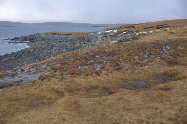
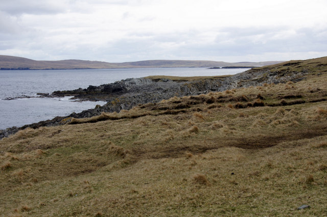
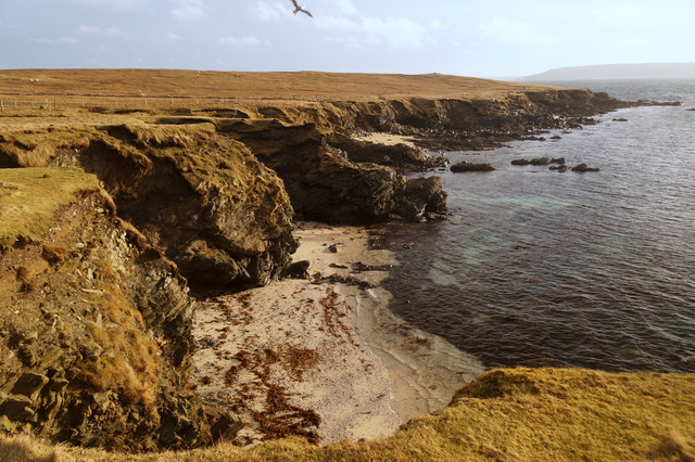
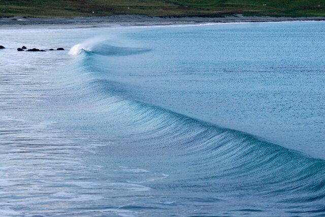
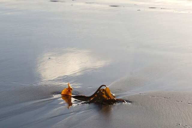
The name "Sandy Geo" accurately describes the geographical characteristics of this coastal feature. It is characterized by a sandy beach, which stretches along its coastline. The beach is composed of fine-grained sand, creating a picturesque and inviting environment for visitors and locals alike.
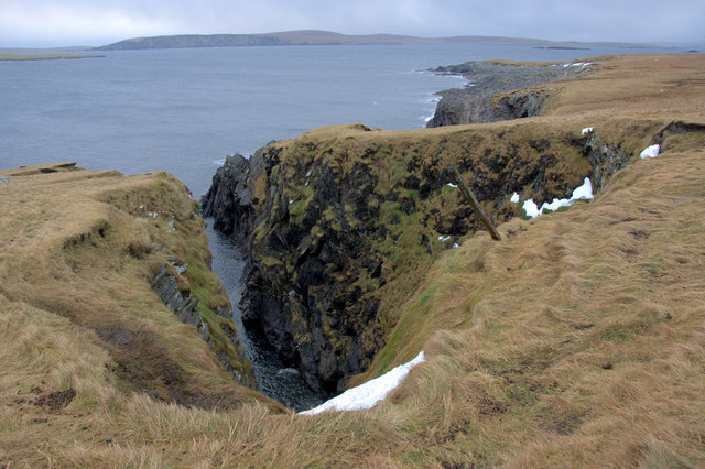
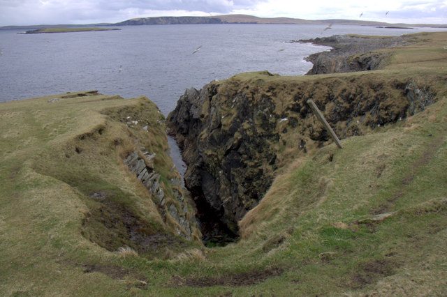
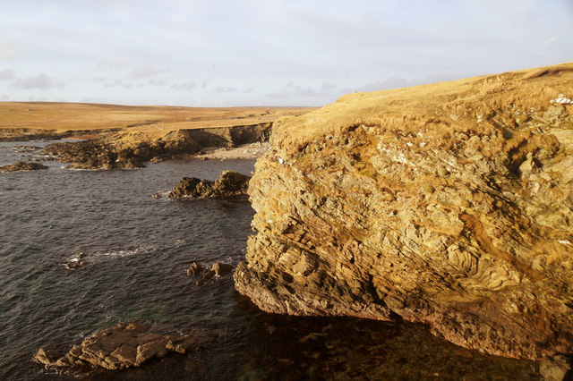
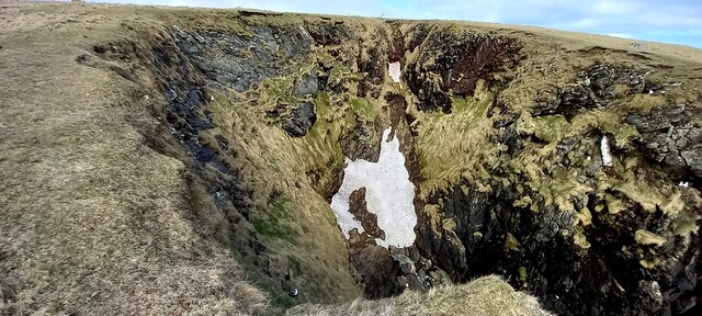
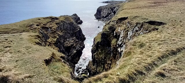
Sandy Geo is surrounded by rugged cliffs, further enhancing its natural beauty. These cliffs are composed of sedimentary rock formations, such as sandstone, which have been shaped by erosion over time. The combination of the sandy beach and the towering cliffs creates a striking contrast, adding to the visual appeal of Sandy Geo.
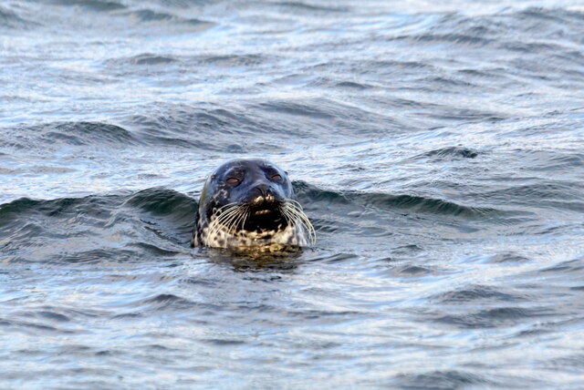
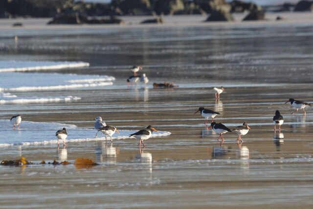
The coastal area around Sandy Geo is rich in marine life, making it a popular spot for fishing and wildlife enthusiasts. Visitors can often spot various seabirds, such as puffins and gannets, as well as seals and even whales in the surrounding waters.
Due to its accessibility and natural beauty, Sandy Geo attracts a significant number of tourists each year. It offers opportunities for activities such as beachcombing, picnicking, and photography. Additionally, the nearby cliffs provide an excellent vantage point for panoramic views of the coastline and the North Sea.
In conclusion, Sandy Geo is a captivating headland or point in Shetland, boasting a sandy beach, dramatic cliffs, and abundant marine life. Its natural attractions make it a must-visit destination for nature enthusiasts and those seeking a tranquil coastal experience.
If you have any feedback on the listing, please let us know in the comments section below.
Sandy Geo Images
Images are sourced within 2km of 60.694069/-0.84839086 or Grid Reference HP6201. Thanks to Geograph Open Source API. All images are credited.


Sandy Geo is located at Grid Ref: HP6201 (Lat: 60.694069, Lng: -0.84839086)
Unitary Authority: Shetland Islands
Police Authority: Highlands and Islands
What 3 Words
///sketch.index.joys. Near Uyeasound, Shetland Islands
Nearby Locations
Related Wikis

Muness Castle
Muness Castle is located on Unst, which is one of the Shetland Islands of Scotland. The castle is 3 kilometres (1.9 mi) east of the village of Uyeasound...

Mailand, Shetland
Mailand is a hamlet in the Shetland Islands. It is on the island of Unst, the northernmost of the inhabited British Isles, near its southern coast. �...

Clivocast
Clivocast is a settlement on the island of Unst in the Shetland Islands, Scotland at 60.67°N 00.90°W / 60.67; -00.90 or grid reference HP6000 and is situated...

Haaf Gruney
Haaf Gruney is a small island in the north east of the Shetland Islands. == Geography and geology == The island is between Unst and Fetlar which are to...

Uyeasound
Uyeasound is a village on the Isle of Unst, the northernmost island of the Shetland Islands, Scotland. It takes its name from the neighbouring strait of...
Uyea, Unst
Uyea (Scots: Uyea) is an uninhabited island, lying south of Unst in Shetland, Scotland. == History == The island was inhabited as early as the Bronze Age...

Huney
Huney is an uninhabited island due east of the island of Unst in the Shetland Islands, Scotland. The island is located approximately 1 kilometre south...

Unst Airport
Unst Airport also called Baltasound Airport is an unlicensed airfield near Baltasound, on the island of Unst, Shetland Islands, Scotland. The airfield...
Nearby Amenities
Located within 500m of 60.694069,-0.84839086Have you been to Sandy Geo?
Leave your review of Sandy Geo below (or comments, questions and feedback).