Longa Geo
Coastal Feature, Headland, Point in Shetland
Scotland
Longa Geo
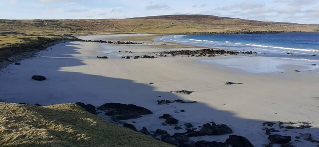
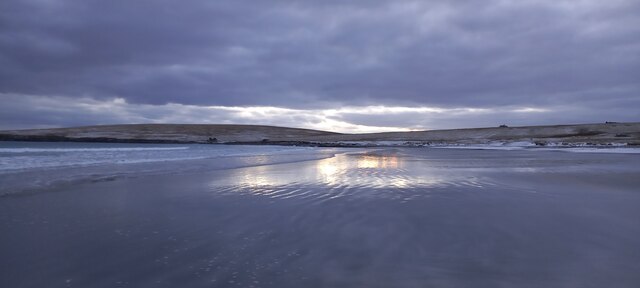
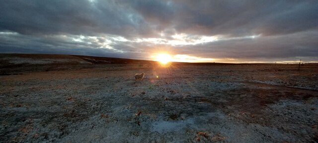
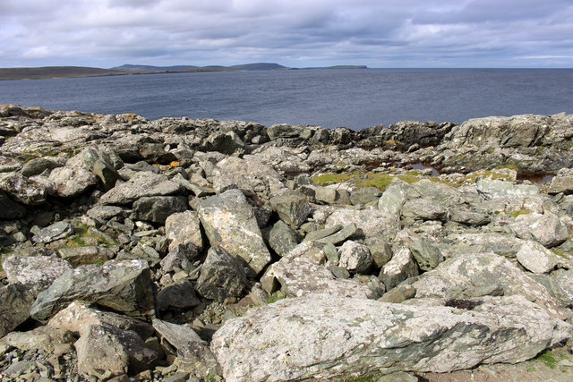
Longa Geo is a prominent coastal feature located in the Shetland Islands, a group of islands in northern Scotland. It is specifically situated on the mainland of Shetland, near the village of Walls. Longa Geo is categorized as a headland, also known as a point, which refers to a narrow stretch of land that extends into the sea.
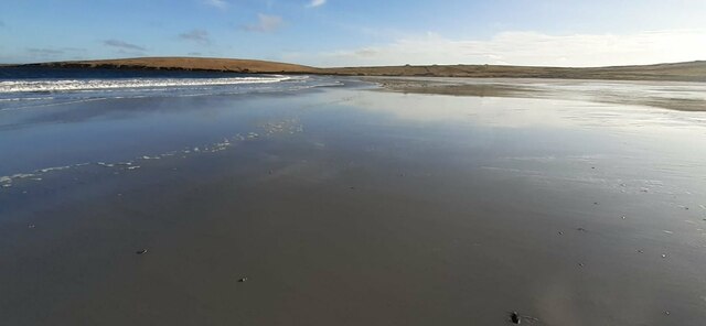
The name "Longa Geo" is derived from the Old Norse language, with "Longa" meaning "long" and "Geo" translating to "inlet" or "narrow channel." This name perfectly describes the physical characteristics of the headland, as it is a long and narrow strip of land that juts out into the North Atlantic Ocean.
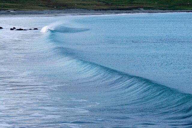
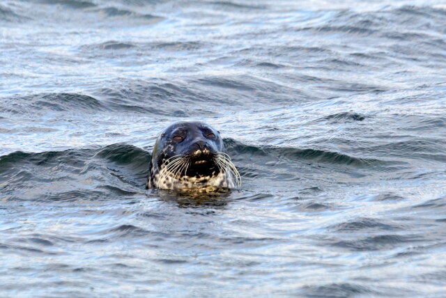
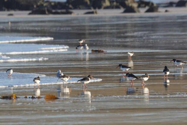
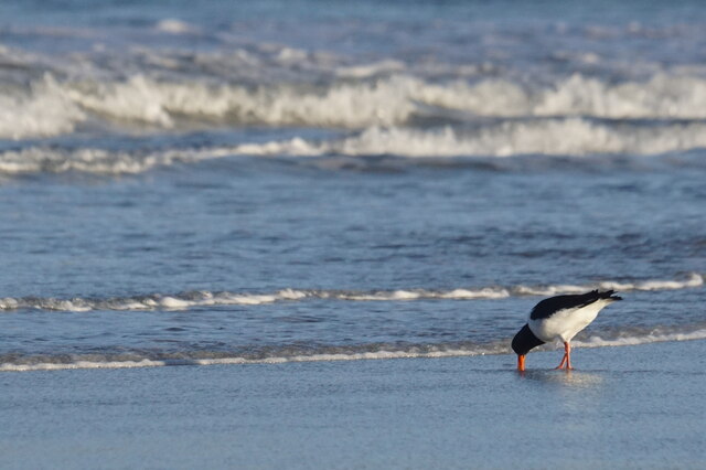
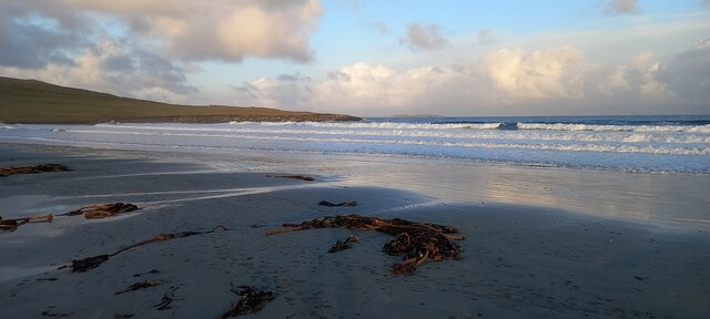
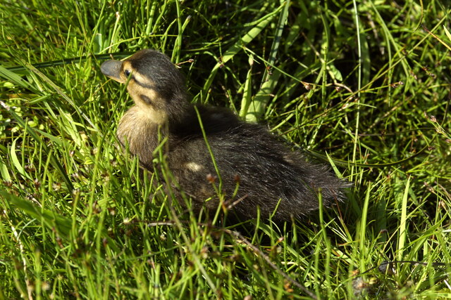
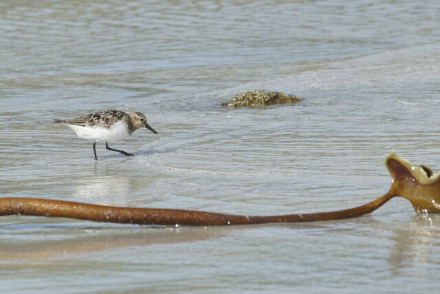
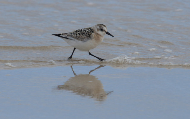
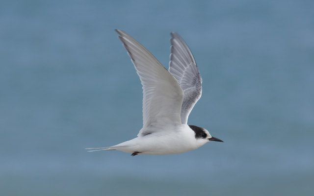
The headland is composed mainly of rugged cliffs, which are a result of the constant erosion caused by the powerful waves and winds in the area. These cliffs provide a dramatic backdrop to the surrounding landscape, creating a stunning and picturesque view. Longa Geo is also known for its diverse wildlife, including seabirds such as puffins, guillemots, and razorbills, which nest on the cliffs.
Visitors to Longa Geo can enjoy breathtaking coastal walks along the headland, taking in the natural beauty of the area. The headland offers panoramic views of the surrounding sea and the neighboring islands of Shetland. It is a popular spot for birdwatching, photography, and outdoor enthusiasts seeking a peaceful and scenic escape.
Overall, Longa Geo in Shetland is a remarkable coastal feature that showcases the wild and rugged beauty of the Scottish coastline. Its unique geological formations, diverse wildlife, and stunning vistas make it a must-visit destination for nature lovers and those seeking a genuine Scottish coastal experience.
If you have any feedback on the listing, please let us know in the comments section below.
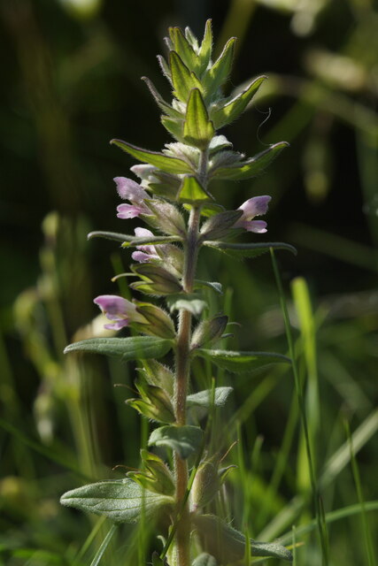
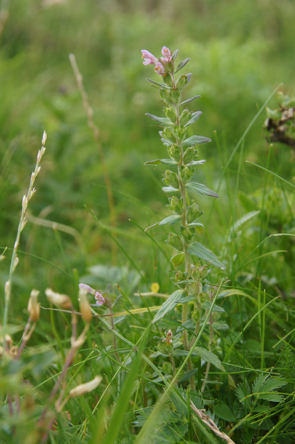
Longa Geo Images
Images are sourced within 2km of 60.696083/-0.85176225 or Grid Reference HP6201. Thanks to Geograph Open Source API. All images are credited.

Longa Geo is located at Grid Ref: HP6201 (Lat: 60.696083, Lng: -0.85176225)
Unitary Authority: Shetland Islands
Police Authority: Highlands and Islands
What 3 Words
///mammoths.stoops.newlywed. Near Uyeasound, Shetland Islands
Nearby Locations
Related Wikis

Muness Castle
Muness Castle is located on Unst, which is one of the Shetland Islands of Scotland. The castle is 3 kilometres (1.9 mi) east of the village of Uyeasound...

Mailand, Shetland
Mailand is a hamlet in the Shetland Islands. It is on the island of Unst, the northernmost of the inhabited British Isles, near its southern coast. �...

Clivocast
Clivocast is a settlement on the island of Unst in the Shetland Islands, Scotland at 60.67°N 00.90°W / 60.67; -00.90 or grid reference HP6000 and is situated...

Haaf Gruney
Haaf Gruney is a small island in the north east of the Shetland Islands. == Geography and geology == The island is between Unst and Fetlar which are to...

Uyeasound
Uyeasound is a village on the Isle of Unst, the northernmost island of the Shetland Islands, Scotland. It takes its name from the neighbouring strait of...
Uyea, Unst
Uyea (Scots: Uyea) is an uninhabited island, lying south of Unst in Shetland, Scotland. == History == The island was inhabited as early as the Bronze Age...

Huney
Huney is an uninhabited island due east of the island of Unst in the Shetland Islands, Scotland. The island is located approximately 1 kilometre south...

Unst Airport
Unst Airport also called Baltasound Airport is an unlicensed airfield near Baltasound, on the island of Unst, Shetland Islands, Scotland. The airfield...
Have you been to Longa Geo?
Leave your review of Longa Geo below (or comments, questions and feedback).