Muriau

Heritage Site in Caernarfonshire

Wales

Muriau

Porth Ceiriad
Porth Ceiriad Credit: Anthony Parkes

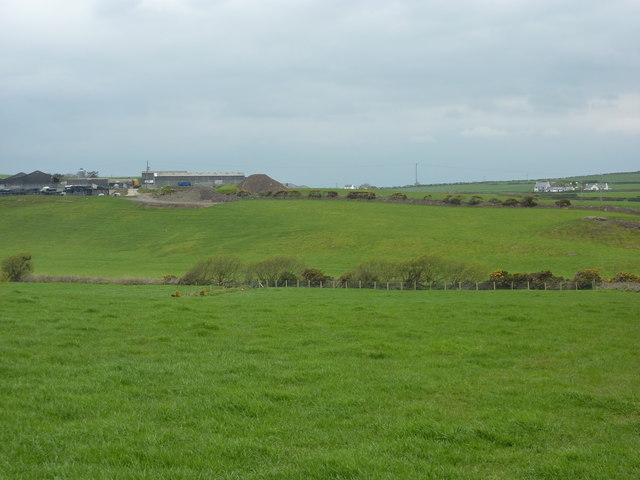
Muriau, located in Caernarfonshire, Wales, is a significant heritage site with a rich historical and cultural background. Situated amidst the beautiful Welsh landscape, Muriau holds great importance and captivates visitors with its historical ruins.

The site features the remains of a medieval Welsh castle, believed to have been constructed in the 12th century. The castle played a pivotal role in the defense of the region during numerous conflicts and wars. It is known for its strategic location atop a hill, providing a vantage point to survey the surrounding area. Today, visitors can explore the ruins and witness the remnants of the once-majestic structure, including the remains of walls, towers, and gateways.

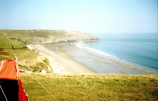
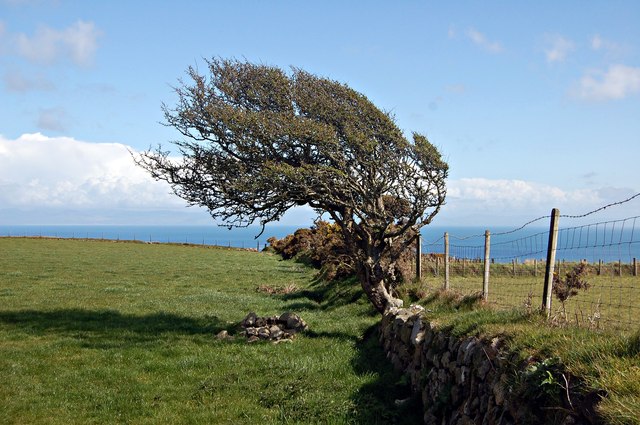
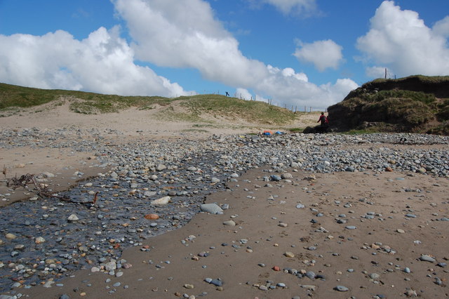
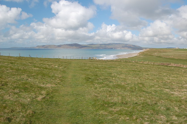
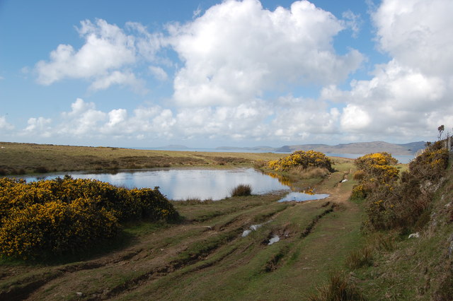
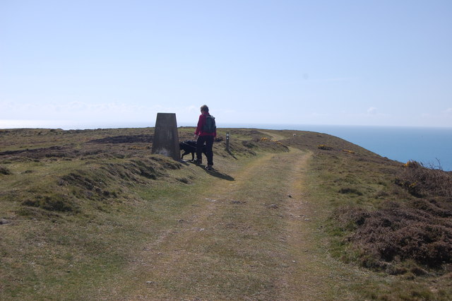
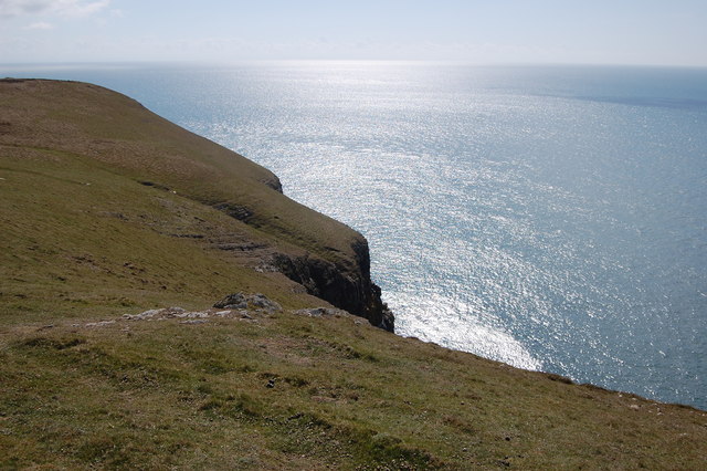
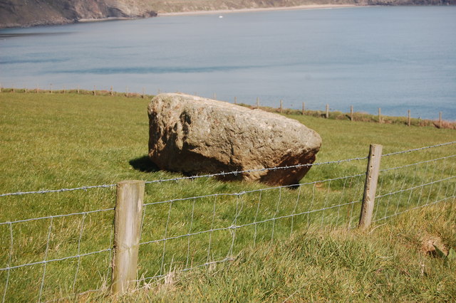
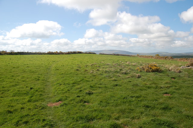
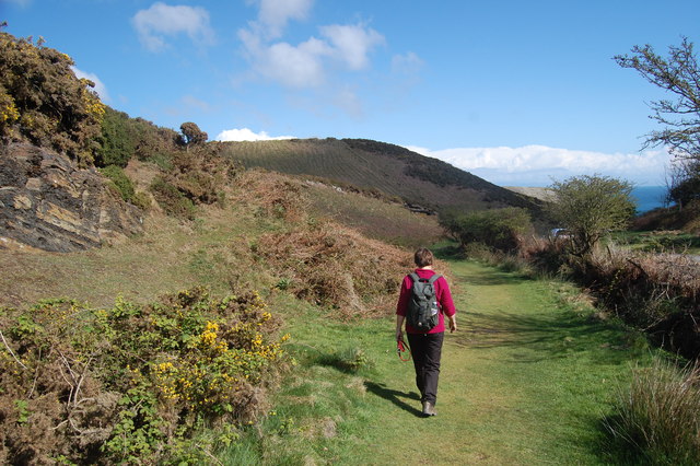
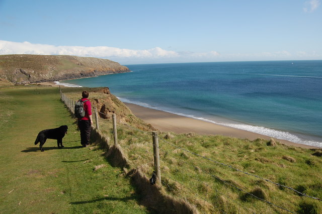
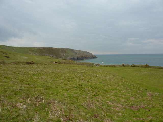
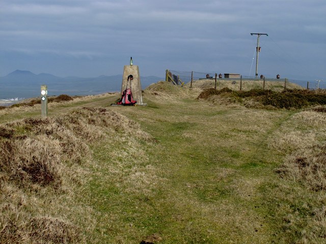
Aside from its historical significance, Muriau also offers breathtaking views of the surrounding countryside, including sweeping valleys and rolling hills. The site's location makes it a popular destination for nature lovers and hikers, who can enjoy the picturesque scenery while immersing themselves in the area's rich history.

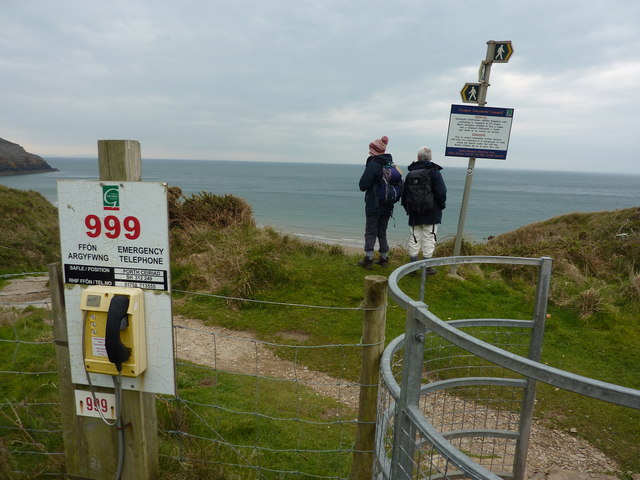
Muriau is easily accessible for tourists, with nearby parking facilities and visitor information available. It is often recommended to wear appropriate footwear and bring along a camera to capture the stunning vistas.

In summary, Muriau in Caernarfonshire is a must-visit heritage site for history enthusiasts and nature lovers alike. Its medieval castle ruins and stunning landscape make it a remarkable destination that offers a glimpse into the past while celebrating the beauty of the Welsh countryside.

If you have any feedback on the listing, please let us know in the comments section below.
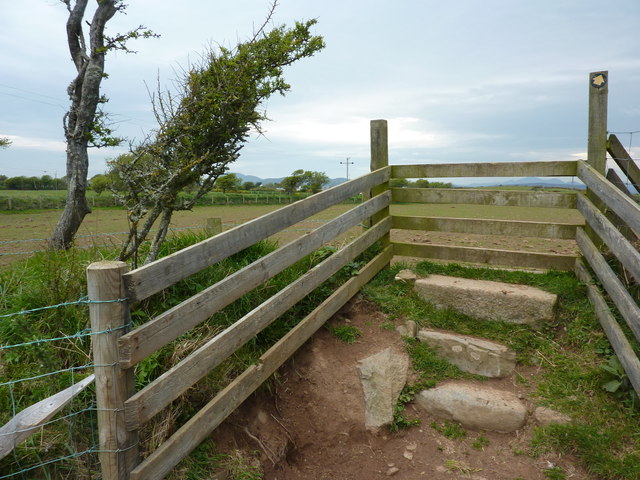
Muriau Images

Images are sourced within 2km of 52.789/-4.521 or Grid Reference SH3024. Thanks to Geograph Open Source API. All images are credited.

Porth Ceiriad
Porth Ceiriad
Tree on a wall A wind-blown tree growing on an old wall above Porth Ceiriad.
Tree on a wall
A wind-blown tree growing on an old wall above Porth Ceiriad.
Stream crossing the beach at Hell's Mouth Looking back across the beach to where the stream emerges from the dunes.
Stream crossing the beach at Hell's Mouth
Looking back across the beach to where the stream emerges from the dunes.
Footpath from Hell's Mouth
Pond by the coastal path, Pen Y Groes Here the path turns west to give views across Hell's Mouth and beyond.
Pond by the coastal path, Pen Y Groes
Here the path turns west to give views across Hell's Mouth and beyond.
The trig point & Llyn Coastal Path at Mynydd Cilan
Trwyn y Fulfran On the headland near the coast path.
Trwyn y Fulfran
On the headland near the coast path.
Wall and gate By the coast path (which doesn't go through the gate). Ancient wall - newer gate.
Wall and gate
By the coast path (which doesn't go through the gate). Ancient wall - newer gate.
Burial chamber  The cyst covering the burial (Bronze age? Neolithic?).
Burial chamber
The cyst covering the burial (Bronze age? Neolithic?).
Lleyn Coast Path On a slight detour inland heading for Nant-y-big
Lleyn Coast Path
On a slight detour inland heading for Nant-y-big
Path to Porth Ceiriad  On the Llyn coastal path.
Path to Porth Ceiriad
On the Llyn coastal path.
Porth Ceiriad On the coast path above Porth Ceiriad beach.
Porth Ceiriad
On the coast path above Porth Ceiriad beach.
Stile over Welsh wall A wall of stone with earth and vegetation.
Stile over Welsh wall
A wall of stone with earth and vegetation.
Porth Ceiriad, Lleyn Peninsula
Emergency phone and footpath signs Porth Ceiriad, Lleyn Peninsula.
Emergency phone and footpath signs
Porth Ceiriad, Lleyn Peninsula.
Nant-y-big, white painted cottage I have been told by a visitor to the Geograph site that the 'white painted cottage' is now called 'Ceiriad Cottage' but was formerly known as 'Argraig', which means 'On the rock' in Welsh. It is situated on the road which leads to 'Nant-y-Big'.
Nant-y-big, white painted cottage
I have been told by a visitor to the Geograph site that the 'white painted cottage' is now called 'Ceiriad Cottage' but was formerly known as 'Argraig', which means 'On the rock' in Welsh. It is situated on the road which leads to 'Nant-y-Big'.
The path that doesn't get to Ty Newydd Farm A footpath starting from SH302258 should enable walkers to reach the farm; however a brand new barbed wire fence has been put up blocking the path at SH301261.
The path that doesn't get to Ty Newydd Farm
A footpath starting from SH302258 should enable walkers to reach the farm; however a brand new barbed wire fence has been put up blocking the path at SH301261.
Mynydd Cilan Parked at T-junction to make this into a great coastal walk as the sun was out here while cool and cloudy elsewhere. Trig is in a dip on an grassy bank beside the track with ground higher to north of trig.

Name: Mynydd Cilan
Hill number: 5150
Height: 117m / 384ft
Area: 30A: Anglesey and the Lleyn Peninsula
Class: Hu
Grid ref: SH 28890 24193
Summit feature: grassy mound 15m N of trig point
Drop: 110m
Col: 7m  SH283265
Mynydd Cilan
Parked at T-junction to make this into a great coastal walk as the sun was out here while cool and cloudy elsewhere. Trig is in a dip on an grassy bank beside the track with ground higher to north of trig. Name: Mynydd Cilan Hill number: 5150 Height: 117m / 384ft Area: 30A: Anglesey and the Lleyn Peninsula Class: Hu Grid ref: SH 28890 24193 Summit feature: grassy mound 15m N of trig point Drop: 110m Col: 7m SH283265
Show me another place!

Muriau is located at Grid Ref: SH3024 (Lat: 52.789, Lng: -4.521)

Unitary Authority: Gwynedd

Police Authority: North Wales

What 3 Words

///handbook.snoozing.roofer. Near Pwllheli, Gwynedd

Nearby Locations

Pared-mawr Cilan Muriau

Related Wikis

Cilan Head

Cilan Head is a headland on the tip of the Llŷn Peninsula of Gwynedd in northwestern Wales, near Abersoch.Cilan Head is the southernmost point of the peninsula...

Porth Ceiriad

Porth Ceiriad is a south-east facing beach and bay in the parish of Llanengan, near to Abersoch, in the county of Gwynedd, North Wales. It has several...

RAF Hell's Mouth

Royal Air Force Hell's Mouth, or more simply RAF Hell's Mouth, is a former Royal Air Force air gunnery and bombing range. It was initially redeveloped...

Llanengan

Llanengan is a small village and community 1.2 mi (1.9 km) around Abersoch in Gwynedd in north-west Wales. It had a population of 2,024 at the 2001 census...

Penrhyn Du Mines

The Penrhyn Du Mines are a collection of mines situated near Llanengan on the Llŷn Peninsula. It encompasses the Penrhyn, Assheton, Western and Tan-y-Bwlch...

Porth Neigwl

Porth Neigwl, also known in English as "Hell's Mouth", is a broad bay, about 3 miles (5 km) wide, on the south coast of the Llŷn Peninsula in North Wales...

St Tudwal's Lighthouse

St Tudwal's Lighthouse on Saint Tudwal's Island West is active, but unstaffed. The site of the lighthouse, which marks the north end of Cardigan Bay, was...

Abersoch

Abersoch is a village in the community of Llanengan in Gwynedd, Wales. It is a popular coastal seaside resort, with around 2,600 residents, on the east...

Related Videos

Porth Ceiriad, May 2023

Walk on the Llyn Peninsula from Sarn Bach along the Wales Coast Path to Porth Ceiriad and then towards Mynydd Cilan before ...

Cilan Circular, March 2024

Following the Wales Coastal Path on the Cilan headland above Hell's Mouth (Porth Neigwl) on the Llyn Peninsula. Starts and ...

Nearby Amenities

Located within 500m of 52.789,-4.521
Source: PGS
Lat/Long: 52.7849628/-4.519358
Source: PGS
Lat/Long: 52.7857705/-4.519315
Source: PGS
Lat/Long: 52.7861304/-4.5185569
Source: PGS
Lat/Long: 52.7864338/-4.5181979
Source: PGS
Lat/Long: 52.7869403/-4.5180219
Source: PGS
Lat/Long: 52.787614/-4.517977
Source: PGS
Lat/Long: 52.788644/-4.51759
Source: PGS
Lat/Long: 52.789674/-4.517204
Source: PGS
Lat/Long: 52.790954/-4.517248
Source: PGS
Lat/Long: 52.7913376/-4.5170769
Source: PGS
Lat/Long: 52.791602/-4.516636
Source: PGS
Lat/Long: 52.791741/-4.515795
Natural: spring
Lat/Long: 52.7863556/-4.523223
Barrier: kissing_gate
Lat/Long: 52.7911949/-4.5200653
Barrier: kissing_gate
Lat/Long: 52.7913523/-4.5192097
Barrier: kissing_gate
Lat/Long: 52.7920035/-4.5182589
Passing Place
Lat/Long: 52.7864211/-4.5260232
Barrier: kissing_gate
Lat/Long: 52.7911836/-4.5201484
Barrier: kissing_gate
Lat/Long: 52.7895612/-4.5196168
Barrier: kissing_gate
Lat/Long: 52.7858471/-4.520256
The data included in this document is from www.openstreetmap.org. The data is made available under ODbL.

Have you been to Muriau?

Leave your review of Muriau below (or comments, questions and feedback).