Bestwood St Albans

Settlement in Nottinghamshire Gedling

England

Bestwood St Albans

Farmland below Raceground Hill A brief glimpse from the Robin Hood Way, seen across the former railway which serviced Calverton Colliery.
Farmland below Raceground Hill Credit: Bill Boaden

Bestwood St Albans is a small village located in the county of Nottinghamshire, England. Situated approximately 5 miles north of Nottingham city center, the village is surrounded by a mix of woodland and open countryside, offering residents a peaceful and picturesque setting.

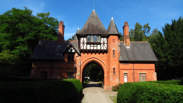
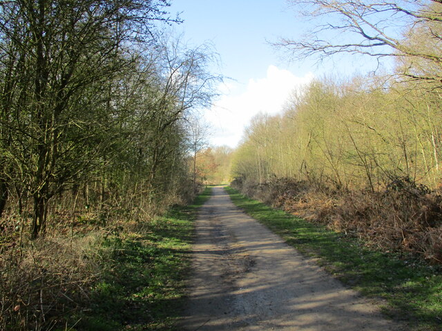
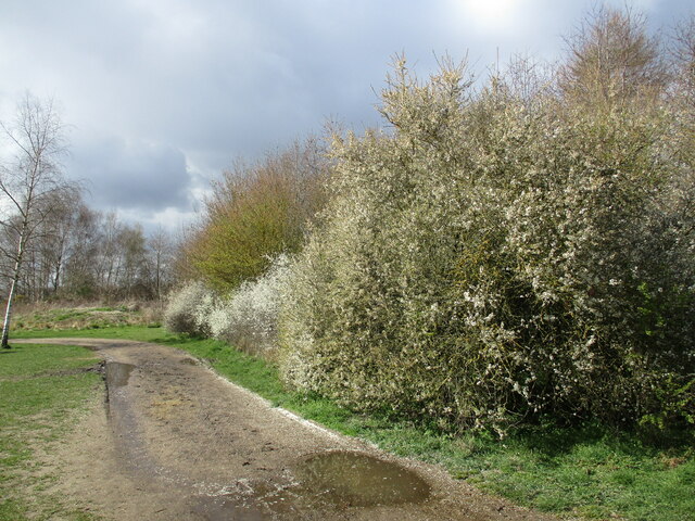
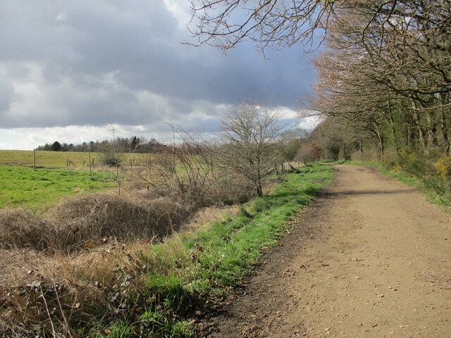
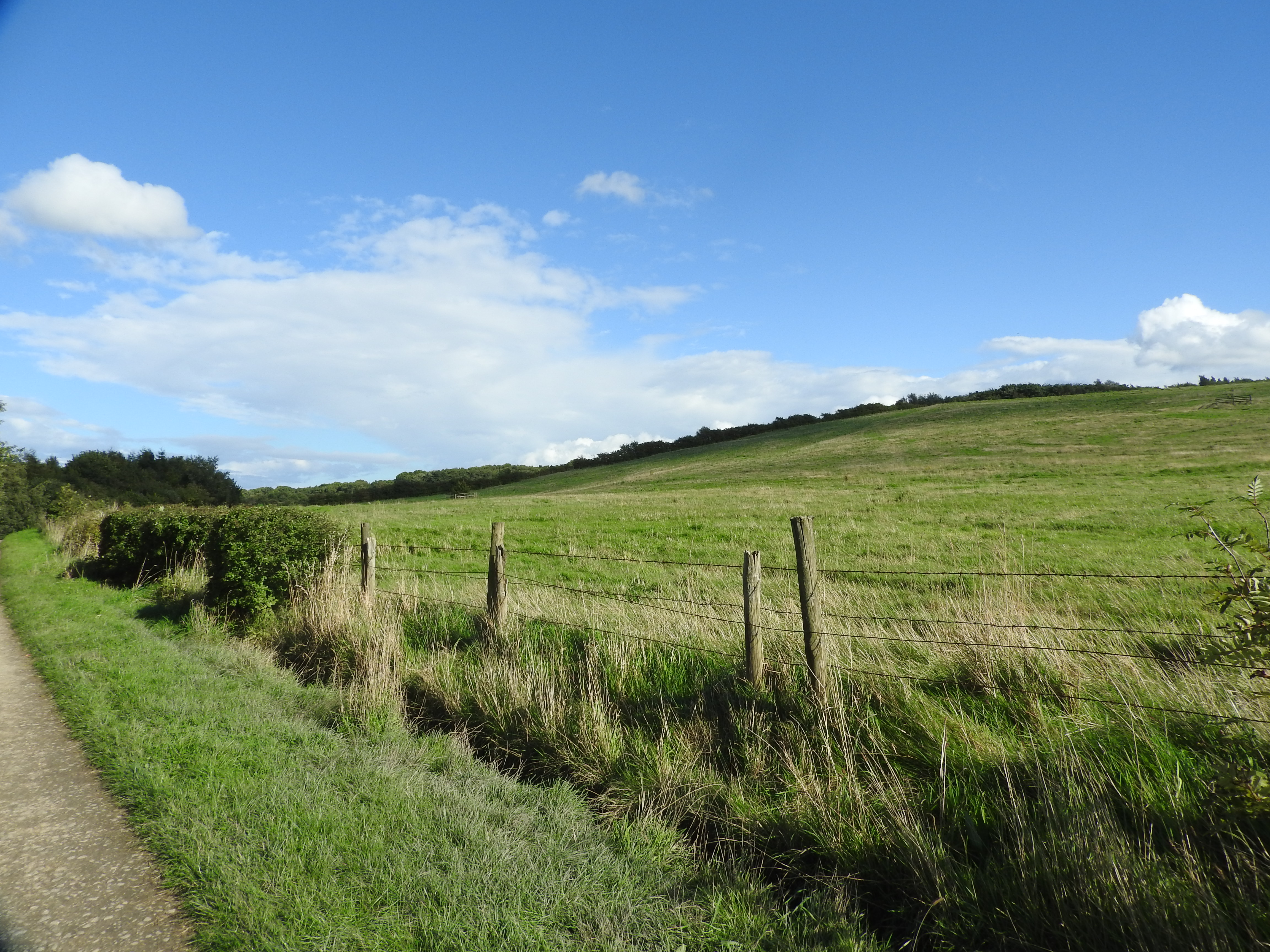
The village is named after the nearby Bestwood Park, a historic country estate that was once a hunting ground for royalty. Today, the park is a popular destination for locals and visitors alike, offering walking trails, picnic areas, and a rich variety of wildlife.

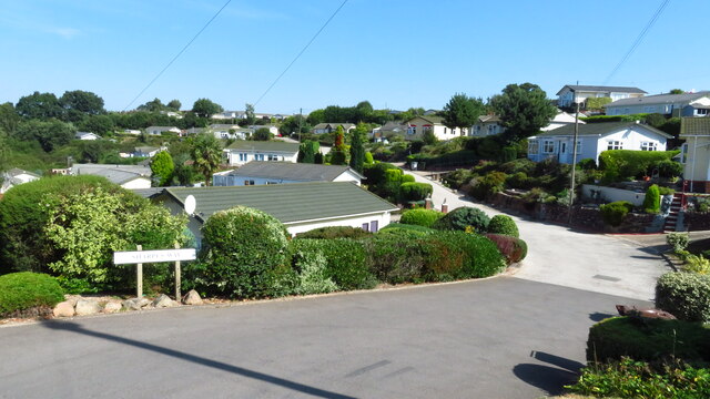
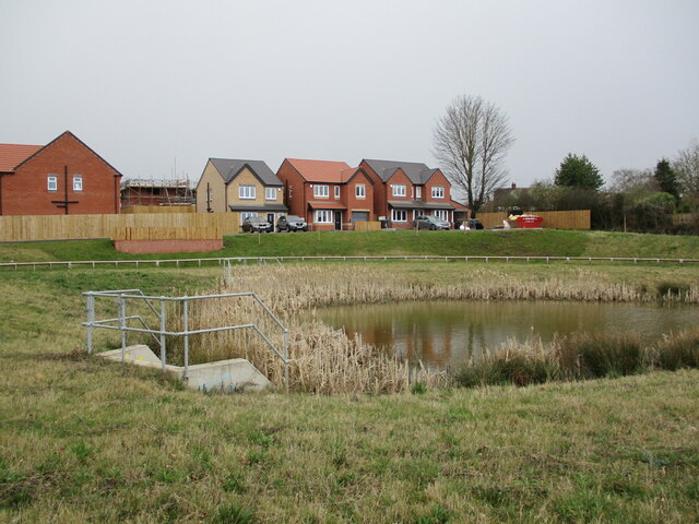
Bestwood St Albans is primarily a residential area, with a close-knit community. It boasts a range of housing options, from traditional cottages to modern family homes. The village also has a number of amenities, including a primary school, a community center, and a local pub, providing essential services and a hub for social activities.

For those seeking recreational activities, the nearby Bestwood Country Park offers opportunities for cycling, horse riding, and birdwatching. The village is also well-connected to Nottingham city center, with regular bus services providing easy access to a wider range of amenities, shopping centers, and cultural attractions.

Overall, Bestwood St Albans provides residents with a serene countryside lifestyle, while still being within close proximity to the amenities of a bustling city. Its charming atmosphere, beautiful surroundings, and strong sense of community make it an attractive place to live for individuals and families alike.

If you have any feedback on the listing, please let us know in the comments section below.

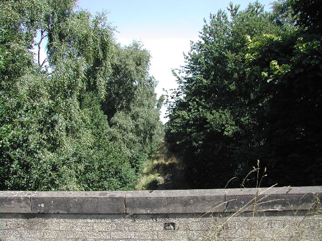
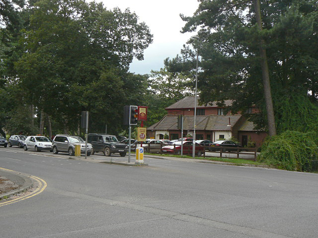
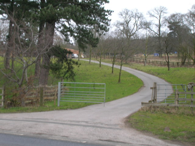
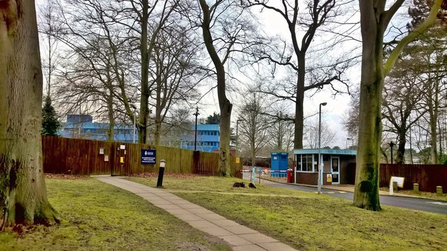
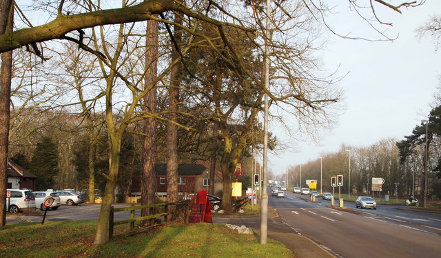
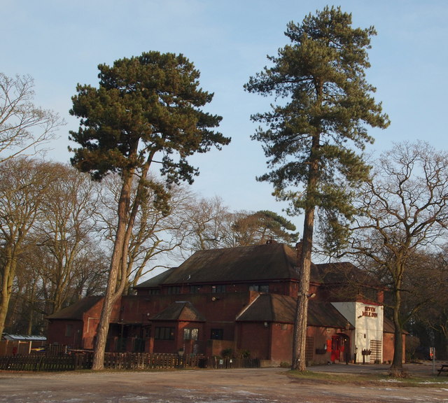
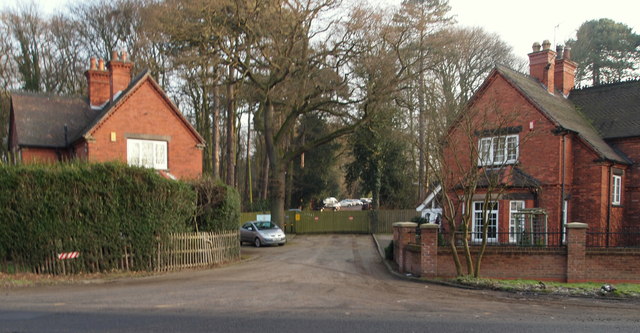
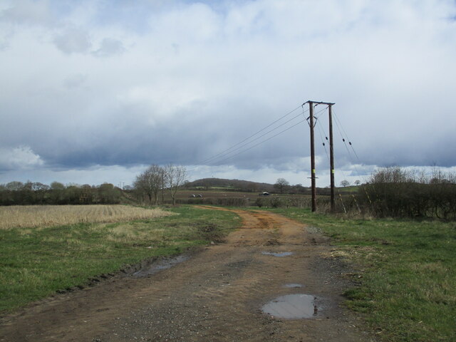
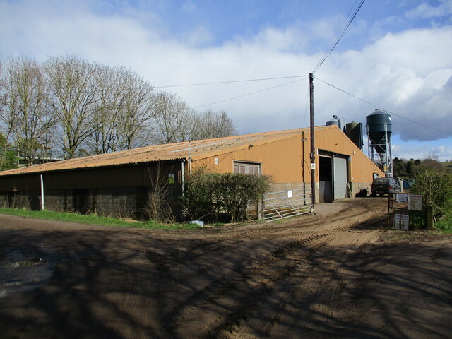
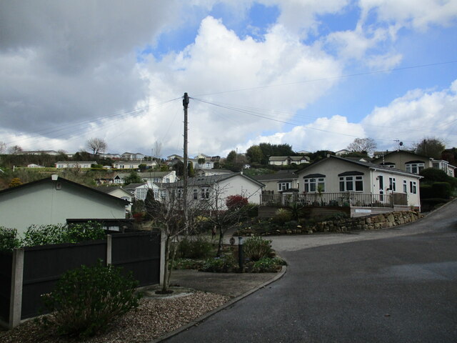
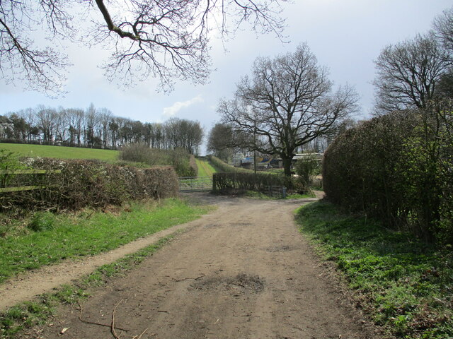
Bestwood St Albans Images

Images are sourced within 2km of 53.031715/-1.1548667 or Grid Reference SK5648. Thanks to Geograph Open Source API. All images are credited.

Farmland below Raceground Hill A brief glimpse from the Robin Hood Way, seen across the former railway which serviced Calverton Colliery.
Farmland below Raceground Hill
A brief glimpse from the Robin Hood Way, seen across the former railway which serviced Calverton Colliery.
Disused Railway From the bridge which carries the A60, this is a view NE of the old Calverton Mine Railway
Disused Railway
From the bridge which carries the A60, this is a view NE of the old Calverton Mine Railway
Seven Mile Inn Roadside pub restaurant on the Mansfield Road, seven miles from Nottingham.
Seven Mile Inn
Roadside pub restaurant on the Mansfield Road, seven miles from Nottingham.
Track to Dairy Farm
Track to Dairy Farm
Sherwood Lodge, Nottinghamshire Police HQ Hidden away in Burntstump Country Park
Sherwood Lodge, Nottinghamshire Police HQ
Hidden away in Burntstump Country Park
Seven Mile Inn, Ravenshead, Notts. A small pile of snow from a fall on Boxing Day 2014 sitting at the entrance to the car park of Seven Mile Inn. Passing it is the A60 road (the main Nottingham-Mansfield road). The car in the foreground is travelling towards Nottingham whilst a motor-cyclist can be seen turning left into Burntstump Hill, off which can be found Burntstump Country Park. Walkers on the Robin Hood Way (Long Distance Trail) use these traffic lights to cross from Burntstump Country Park to another rural section of it that can be picked up immediately after a road bridge that crosses the former Calverton Colliery Railway track bed 3-4 minutes walk ahead.
Seven Mile Inn, Ravenshead, Notts.
A small pile of snow from a fall on Boxing Day 2014 sitting at the entrance to the car park of Seven Mile Inn. Passing it is the A60 road (the main Nottingham-Mansfield road). The car in the foreground is travelling towards Nottingham whilst a motor-cyclist can be seen turning left into Burntstump Hill, off which can be found Burntstump Country Park. Walkers on the Robin Hood Way (Long Distance Trail) use these traffic lights to cross from Burntstump Country Park to another rural section of it that can be picked up immediately after a road bridge that crosses the former Calverton Colliery Railway track bed 3-4 minutes walk ahead.
Seven Mile Inn, Ravenshead, Notts. Mature Scots Pine trees in this pub's car park. Mature specimens grow to a height of 35m (115 ft). The A60 road (the main Nottingham-Mansfield road) passes the front of this establishment.
Seven Mile Inn, Ravenshead, Notts.
Mature Scots Pine trees in this pub's car park. Mature specimens grow to a height of 35m (115 ft). The A60 road (the main Nottingham-Mansfield road) passes the front of this establishment.
Seven Mile Inn Vicinity, A60, Notts. These lodges, situated obliquely opposite the Seven Mile Inn (currently a steak house), are situated at the former entrance to a drive leading to Sherwood Lodge. The lodge on the right - a private residence - is dated 1895, whilst the other one - currently in use as a Police Federation (Trade Union) local office - is dated 1903. There is no longer any access into or out of the site onto the road seen here, i.e. the A60 Mansfield to Nottingham road. The original Sherwood Lodge (c. 1790) was the home of the Seely family of politicians, industrialists, landowners and writers. However, the grand house was eventually demolished and replaced by a building - or buildings - that became the former headquarters of the National Coal Board. During the 1970s the premises were used by the Nottinghamshire Police Force. However, more recently a three-storey building costing £18.5 million has been built on the site as the joint headquarters of the Nottinghamshire Police Force and the Nottinghamshire Fire & Rescue Service premises that are accessible from nearby Burntstump Hill.
Seven Mile Inn Vicinity, A60, Notts.
These lodges, situated obliquely opposite the Seven Mile Inn (currently a steak house), are situated at the former entrance to a drive leading to Sherwood Lodge. The lodge on the right - a private residence - is dated 1895, whilst the other one - currently in use as a Police Federation (Trade Union) local office - is dated 1903. There is no longer any access into or out of the site onto the road seen here, i.e. the A60 Mansfield to Nottingham road. The original Sherwood Lodge (c. 1790) was the home of the Seely family of politicians, industrialists, landowners and writers. However, the grand house was eventually demolished and replaced by a building - or buildings - that became the former headquarters of the National Coal Board. During the 1970s the premises were used by the Nottinghamshire Police Force. However, more recently a three-storey building costing £18.5 million has been built on the site as the joint headquarters of the Nottinghamshire Police Force and the Nottinghamshire Fire & Rescue Service premises that are accessible from nearby Burntstump Hill.
Alexandra Lodges, Big Wood, Bestwood Village
Killarney Park, Bestwood Village
Track to Bestwood Village, Bestwood Country Park
Footpath and blackthorn, Bestwood Country Park
New housing and balancing pond, Bestwood Village
Farm track off Goosedale Lane
Farm buildings below Hilltop Farm, Goosedale
Killarney Park Settlement of 'mobile homes' with wide views. Walking through here I suddenly felt that I was somewhere on the South Devon Coast!
Killarney Park
Settlement of 'mobile homes' with wide views. Walking through here I suddenly felt that I was somewhere on the South Devon Coast!
Footpath approaching Violet Hill
Track to Bestwood Village, Bestwood Country Park
Show me another place!

Bestwood St Albans is located at Grid Ref: SK5648 (Lat: 53.031715, Lng: -1.1548667)

Administrative County: Nottinghamshire

District: Gedling

Police Authority: Nottinghamshire

What 3 Words

///split.solar.pages. Near Hucknall, Nottinghamshire

Related Wikis

Bestwood Pumping Station

Bestwood Pumping Station was a water pumping station operating in Nottinghamshire from 1874 until 1964. == History == Bestwood Pumping Station was built...

Bestwood Village

Bestwood Village is an area and civil parish in the Gedling district of Nottinghamshire. Until 1 April 2018 it was part of the civil parish of Bestwood...

Bestwood Country Park

Bestwood Country Park is a country park near Bestwood Village, Nottinghamshire, England. Bestwood was a hunting estate owned by the Crown from the medieval...

Whyburn

The Whyburn (known locally as Town Brook, and by the UK Government as Baker Lane Brook) is the main watercourse flowing through the town of Hucknall in...

The Oakwood Academy

The Oakwood Academy (formerly Big Wood School)' is a secondary school located on Bewcastle Road, Warren Hill, Nottingham, England. It is for 11- to 16...

St Albans, Nottinghamshire

St. Albans is a civil parish in the Gedling borough of Nottinghamshire, England. It was part of the wider Bestwood St. Albans parish, which ceased to exist...

Warren Hill, Nottinghamshire

Warren Hill is an area within the market town of Arnold in the English ceremonial county of Nottinghamshire. Located in the civil parish of St. Albans...

Butler's Hill tram stop

Butler's Hill is a tram stop on the Nottingham Express Transit network, serving the suburb of Butler's Hill, Ashfield in Nottinghamshire, England. The...

Related Videos

Who leaving these here? #walking #hiking #pants

Watch the full length video - https://youtu.be/rkQkuxIoOy0.

Nottingham Car Boot Sale | Vlog - 4 | Summer Vacation | Indian Student in UK

Hello Everyone Hope you all are doing well. This is our Fourth vlog in which I'll Show you Hucknall Car Boot Market.

Bestwood Country Park | Places To Visit In Nottingham | 4K Drone Footage

Join me on a walk around Bestwood Country Park, a sprawling oasis of natural beauty nestled in the heart of Nottingham!

Cows, views and beautiful sunny walks. Join me as I discover Bestwood Country Park

Join me as I walk through a little gem of a country park in Nottinghamshire. Magical woods, beautiful views and amazing ...

Nearby Amenities

Located within 500m of 53.031715,-1.1548667
Bench
Lat/Long: 53.027964/-1.1522278
Bench
Lat/Long: 53.0280737/-1.1522492
Ele: 109.9556885
Lat/Long: 53.0304497/-1.1524869
Ele: 117.4058838
Lat/Long: 53.0298845/-1.1523095
Ele: 118.3670654
Lat/Long: 53.029734/-1.1522522
Ele: 119.8090820
Lat/Long: 53.0294396/-1.1518942
Ele: 116.9251709
Lat/Long: 53.0280655/-1.152333
Ele: 117.1655273
Lat/Long: 53.0279434/-1.1522955
Post Box
Collection Times: Mo-Fr 16:00; Sa 10:00
Post Box Type: lamp
Ref: NG5 41
Royal Cypher: EIIR
Royal Cypher Wikidata: Q33102113
Lat/Long: 53.0296163/-1.1521305
Ele: 93.1328125
Lat/Long: 53.031979/-1.1558808
Ele: 93.6134033
Lat/Long: 53.0319109/-1.1558694
Ele: 96.7376709
Lat/Long: 53.0315703/-1.1534569
Ele: 95.5360107
Lat/Long: 53.0315607/-1.1533327
Ele: 97.2182617
Lat/Long: 53.0314536/-1.1530696
Ele: 84.9615479
Lat/Long: 53.0329227/-1.1556714
Generator Method: photovoltaic
Generator Output Electricity: yes
Generator Source: solar
Generator Type: solar_photovoltaic_panel
Location: roof
Power: generator
Lat/Long: 53.0318457/-1.1540774
Generator Method: photovoltaic
Generator Output Electricity: yes
Generator Source: solar
Generator Type: solar_photovoltaic_panel
Location: roof
Power: generator
Lat/Long: 53.0290846/-1.1547272
Generator Method: photovoltaic
Generator Output Electricity: yes
Generator Source: solar
Generator Type: solar_photovoltaic_panel
Location: roof
Power: generator
Lat/Long: 53.029081/-1.1544858
Generator Method: photovoltaic
Generator Output Electricity: yes
Generator Source: solar
Generator Type: solar_photovoltaic_panel
Location: roof
Power: generator
Lat/Long: 53.0289092/-1.1539842
Man Made: tower
Tower Type: communication
Lat/Long: 53.0304452/-1.1570158
Power: pole
Lat/Long: 53.0335587/-1.1612946
Power: pole
Lat/Long: 53.0337845/-1.1599374
Power: pole
Lat/Long: 53.0340394/-1.1584032
Power: pole
Lat/Long: 53.0342555/-1.1570674
Power: pole
Lat/Long: 53.0344781/-1.1557639
Power: pole
Lat/Long: 53.03432/-1.1545032
Power: pole
Lat/Long: 53.034191/-1.1533552
Power: pole
Lat/Long: 53.0340716/-1.152454
Power: pole
Lat/Long: 53.0339926/-1.1517191
Power: pole
Lat/Long: 53.0335797/-1.1512283
Hundred Acre Farm
Place: locality
Lat/Long: 53.0319595/-1.1539869
The data included in this document is from www.openstreetmap.org. The data is made available under ODbL.

Have you been to Bestwood St Albans?

Leave your review of Bestwood St Albans below (or comments, questions and feedback).