Lower Pond

Lake, Pool, Pond, Freshwater Marsh in Hampshire Winchester

England

Lower Pond

Beechwood Crescent, looking west Do high hedges make good neighbours, as fences are supposed to?
Beechwood Crescent, looking west Credit: Christine Johnstone

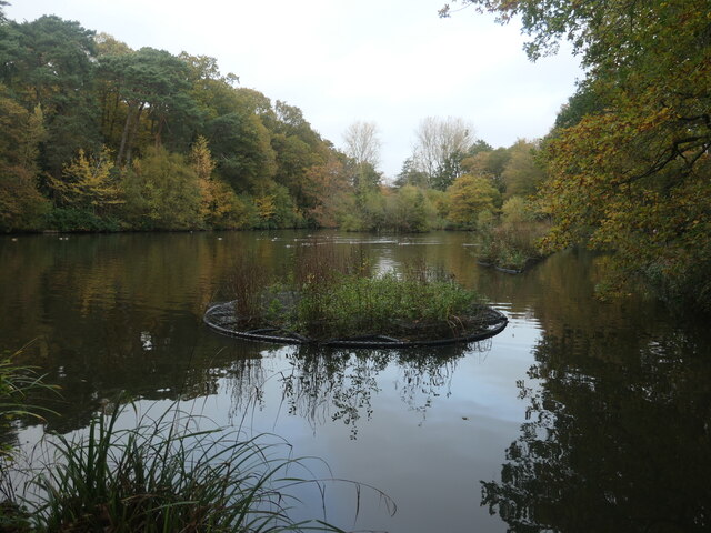
Lower Pond is a picturesque freshwater body located in Hampshire, England. Covering an area of approximately 5 acres, it is a popular destination for locals and tourists alike. The pond is nestled within a serene natural landscape, surrounded by lush vegetation and gently rolling hills.

As a freshwater pond, Lower Pond provides an ideal habitat for a diverse range of flora and fauna. Its crystal-clear waters support various aquatic plants such as water lilies, pondweed, and reeds, creating a vibrant and colorful environment. These plants serve as a crucial food source and shelter for a variety of aquatic creatures, including fish, amphibians, and invertebrates.

The pond's tranquil ambiance attracts an array of bird species, making it a haven for birdwatchers. Visitors can often spot mallards, herons, kingfishers, and other waterfowl gracefully gliding across the pond's surface or perched on overhanging branches.

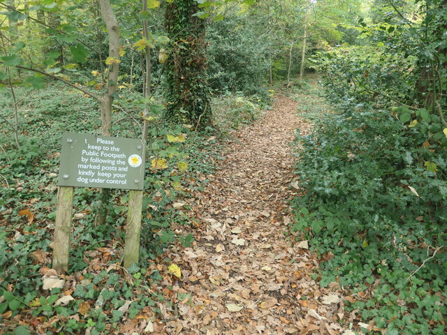
Surrounding the pond is a freshwater marsh, which provides additional habitat for wetland species. This marshland is characterized by its waterlogged soil and is home to a variety of plants, such as rushes, sedges, and marsh marigolds. This ecosystem supports numerous insects, amphibians, and small mammals, contributing to the overall biodiversity of the area.

Lower Pond is a haven for nature enthusiasts seeking a peaceful retreat. Its tranquil waters, lush vegetation, and diverse wildlife make it a perfect spot for fishing, birdwatching, or simply enjoying the scenic beauty of Hampshire's countryside.

If you have any feedback on the listing, please let us know in the comments section below.

Lower Pond Images

Images are sourced within 2km of 51.001675/-1.3682156 or Grid Reference SU4422. Thanks to Geograph Open Source API. All images are credited.
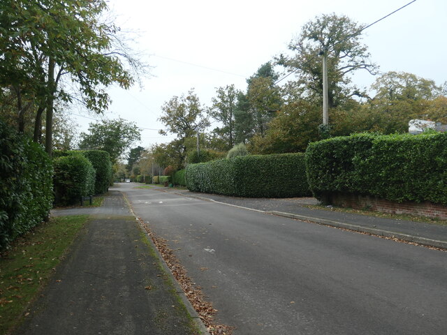
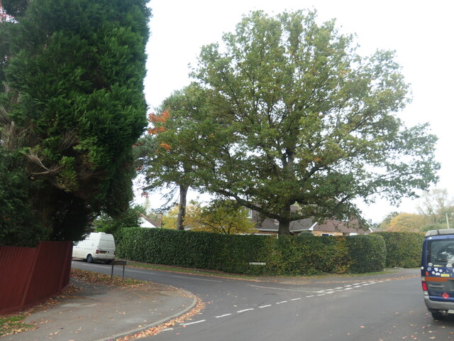
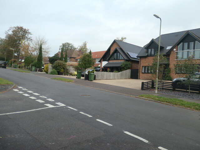
Beechwood Crescent, looking west Do high hedges make good neighbours, as fences are supposed to?
Beechwood Crescent, looking west
Do high hedges make good neighbours, as fences are supposed to?
Neighbourhood Watch sign, off Beechwood Crescent Alongside the public footpath heading north-west to Hook Crescent.
Neighbourhood Watch sign, off Beechwood Crescent
Alongside the public footpath heading north-west to Hook Crescent.
Autumn, Hocombe Upper Plantation Carpeted in the orange of dead bracken.
Autumn, Hocombe Upper Plantation
Carpeted in the orange of dead bracken.
Waymarked footbridge, Hocombe Upper Plantation On the public footpath to Hursley Road.
Waymarked footbridge, Hocombe Upper Plantation
On the public footpath to Hursley Road.
Polite request at the entrance to Hocombe Upper Plantation On the public footpath heading north-west from Hursley Road.
Polite request at the entrance to Hocombe Upper Plantation
On the public footpath heading north-west from Hursley Road.
Residential road parallel to a through route The houses on the west side of Hursley Road [the B3043] are separated from that road by a strip of woodland. The houses on the east side are not.
Residential road parallel to a through route
The houses on the west side of Hursley Road [the B3043] are separated from that road by a strip of woodland. The houses on the east side are not.
East end of Heatherdene Road, Hiltingbury Beautified by a large deciduous tree.
East end of Heatherdene Road, Hiltingbury
Beautified by a large deciduous tree.
West end of Grosvenor Road, Hiltingbury Planned and mapped in the 1930s, but no houses were built until after 1945. Near the junction with Thorold Road.
West end of Grosvenor Road, Hiltingbury
Planned and mapped in the 1930s, but no houses were built until after 1945. Near the junction with Thorold Road.
East end of Grosvenor Road, Hiltingbury Planned and mapped in the 1930s, but no houses were built until after 1945. Looking towards the junction with Kingsway.
East end of Grosvenor Road, Hiltingbury
Planned and mapped in the 1930s, but no houses were built until after 1945. Looking towards the junction with Kingsway.
Junction of Kingsway and Grosvenor Road, Hiltingbury There is a 56 metre spot height at the manhole cover.
Junction of Kingsway and Grosvenor Road, Hiltingbury
There is a 56 metre spot height at the manhole cover.
Thornbury Wood, no through road The spine road of a small housing estate on the east side of Kingsway, Hiltingbury.
Thornbury Wood, no through road
The spine road of a small housing estate on the east side of Kingsway, Hiltingbury.
Malibres Road, Hiltingbury Planned and mapped in the 1930s, but no houses were built until after 1945. Named after Malibres Copse, which it was built on.
Malibres Road, Hiltingbury
Planned and mapped in the 1930s, but no houses were built until after 1945. Named after Malibres Copse, which it was built on.
Entrance to Freshwater Court, Hiltingbury And also the access to a house behind the flats.
Entrance to Freshwater Court, Hiltingbury
And also the access to a house behind the flats.
The Old Post Office, Hiltingbury Road Mapped as a post office in the 1930s, but not even built in 1910.
The Old Post Office, Hiltingbury Road
Mapped as a post office in the 1930s, but not even built in 1910.
Sold house, Kingsway, Hiltingbury On a street where high hedges are popular.
Sold house, Kingsway, Hiltingbury
On a street where high hedges are popular.
Parked cars, Kingsway Gardens, Hiltingbury On the east side of Kingsway and built much later.
Parked cars, Kingsway Gardens, Hiltingbury
On the east side of Kingsway and built much later.
Mistletoe in a Hiltingbury front garden Mistletoe is quite common in this area, which was the heavily-wooded Hiltingbury Common until about 100 years ago.
Mistletoe in a Hiltingbury front garden
Mistletoe is quite common in this area, which was the heavily-wooded Hiltingbury Common until about 100 years ago.
Hiltingbury Lake, from the dam The lake is shown on the large-scale OS map surveyed in 1895, but not on the one surveyed in 1867. It is now a fishing lake, surrounded by pleasant woodland paths.
Hiltingbury Lake, from the dam
The lake is shown on the large-scale OS map surveyed in 1895, but not on the one surveyed in 1867. It is now a fishing lake, surrounded by pleasant woodland paths.
Show me another place!

Lower Pond is located at Grid Ref: SU4422 (Lat: 51.001675, Lng: -1.3682156)

Administrative County: Hampshire

District: Winchester

Police Authority: Hampshire

What 3 Words

///drag.jungle.hunt. Near Compton, Hampshire

Related Wikis

Cranbury Park

Cranbury Park is a stately home and country estate situated in the parish of Hursley, Winchester, England. It was formerly the home to Sir Isaac Newton...

Thornden School

Thornden School is a secondary school with academy status in Chandler's Ford, Hampshire. It is an 11-16 (no sixth form), mixed specialist Arts College...

Lakeside School, Chandler's Ford

Lakeside School is an 11–16 boys special school with specialist SEN status located in Chandler's Ford, Hampshire, England. The head teacher is Mr Gareth...

Hiltingbury

Hiltingbury is an area within the Borough of Eastleigh in Hampshire, England. There are two electoral wards representing Hiltingbury, returning a total...

Hocombe Mead

Hocombe Mead is a 8.3-hectare (21-acre) Local Nature Reserve in Eastleigh in Hampshire. It is owned by Eastleigh Borough Council and managed by Eastleigh...

Otterbourne

Otterbourne is a village in Hampshire, England. It is located approximately four miles (6.4 km) south of Winchester and eight miles (13 km) north of Southampton...

Chandler's Ford

Chandler's Ford (originally The Ford and historically Chandlersford) is a largely residential area and civil parish in the Borough of Eastleigh in Hampshire...

Chandler's Ford shooting

The Chandler's Ford shooting (codenamed Operation Hurlock by the police) was the shooting of armed robbers in the town of Chandler's Ford, Hampshire, in...

Nearby Amenities

Located within 500m of 51.001675,-1.3682156
Cranbury Park
Place: locality
Lat/Long: 51.005046/-1.3665086
Barrier: cattle_grid
Bicycle: no
Foot: no
Lat/Long: 51.0057522/-1.3683132
Post Box
Collection Plate: CP7D
Collection Times: Mo-Fr 09:00; Sa 07:00
Operator: Royal Mail
Post Box Type: lamp
Ref: SO53 489D
Royal Cypher: EIIR
Royal Cypher Wikidata: Q33102113
Lat/Long: 51.0002252/-1.3686281
Board Type: history
Description: folly ruins & tower built from stones of ruined Netley Castle 1770
Information: board
Tourism: information
Lat/Long: 51.002416/-1.3636457
The data included in this document is from www.openstreetmap.org. The data is made available under ODbL.

Have you been to Lower Pond?

Leave your review of Lower Pond below (or comments, questions and feedback).