Woodend Copse

Wood, Forest in Hampshire Winchester

England

Woodend Copse

River Itchen at Allbrook The Itchen Way and Itchen Navigation Heritage Trail run by the side of this branch of the river. The other side of the river is the bottom of quite substantial private gardens.
River Itchen at Allbrook Credit: Bill Boaden

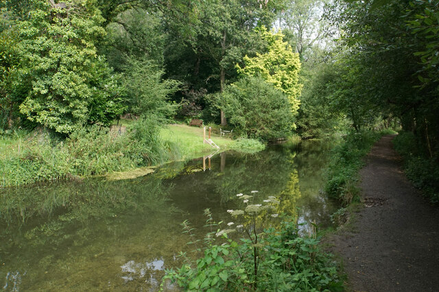
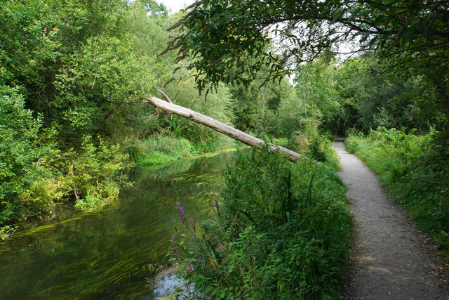
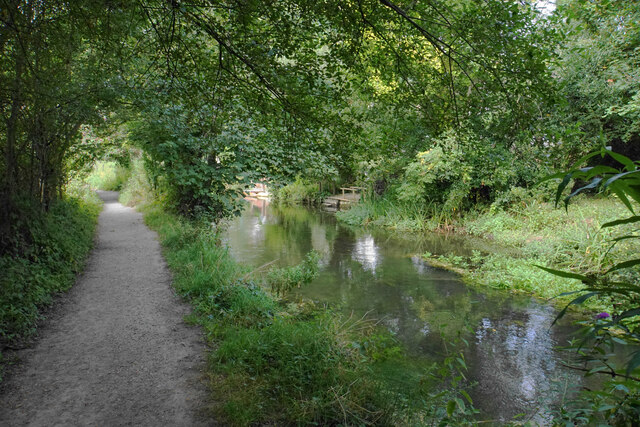
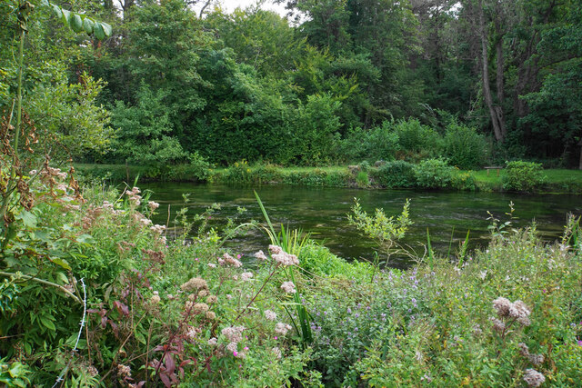
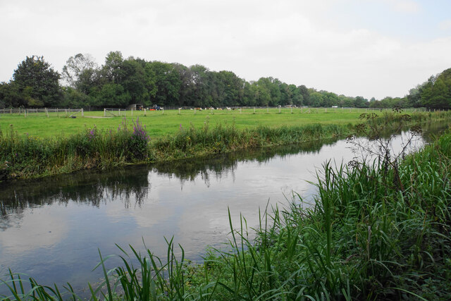
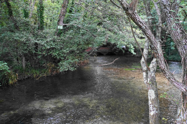
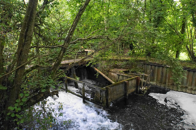
Woodend Copse is a picturesque woodland located in Hampshire, England. Covering an area of approximately 50 acres, this enchanting forest is a haven for nature lovers and outdoor enthusiasts. With its diverse range of tree species, including oak, beech, and ash, Woodend Copse offers a stunning display of colors throughout the seasons, making it a popular destination for visitors all year round.

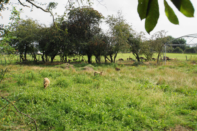
The woodland is home to an abundance of wildlife, providing a natural habitat for a variety of species. Birdwatchers can enjoy the sight of various birds, such as woodpeckers, owls, and finches, while nature enthusiasts may be lucky enough to spot mammals like deer, foxes, and badgers roaming freely among the trees. The forest floor is carpeted with a rich tapestry of wildflowers, adding to the beauty and biodiversity of the area.

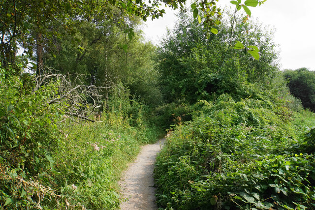
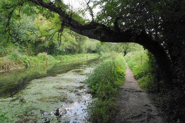
Woodend Copse offers a network of well-maintained footpaths and trails, allowing visitors to explore the woodland at their own pace. Whether it's a leisurely stroll, a family picnic, or a more adventurous hike, there is something for everyone to enjoy. The peaceful atmosphere and serene surroundings make it an ideal location for those seeking a break from the hustle and bustle of everyday life.

Managed by local authorities, Woodend Copse is dedicated to preserving and protecting its natural beauty. The woodland is open to the public, free of charge, and is easily accessible for visitors of all ages and abilities. With its tranquil ambiance and stunning scenery, Woodend Copse is a true gem in the heart of Hampshire, offering a peaceful retreat for all who venture into its depths.

If you have any feedback on the listing, please let us know in the comments section below.

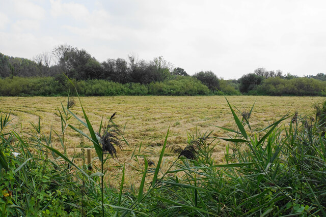
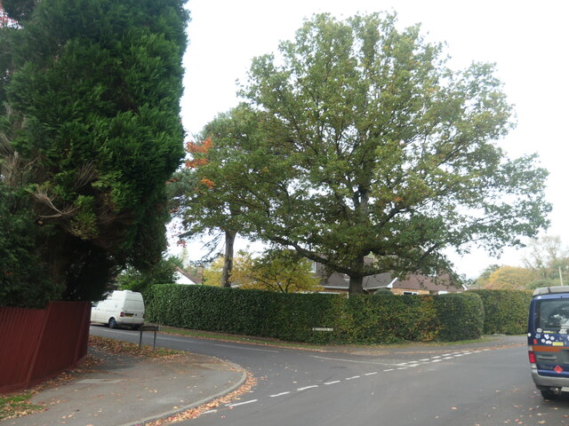
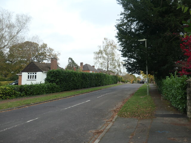
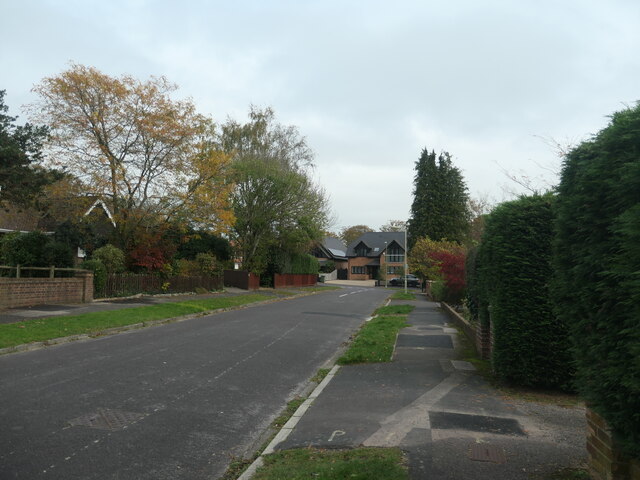
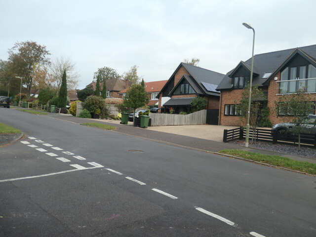
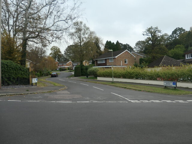
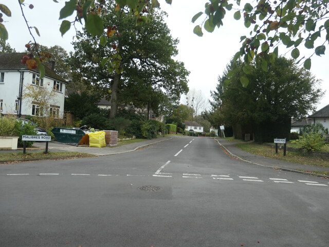
Woodend Copse Images

Images are sourced within 2km of 51.000423/-1.3611926 or Grid Reference SU4422. Thanks to Geograph Open Source API. All images are credited.

River Itchen at Allbrook The Itchen Way and Itchen Navigation Heritage Trail run by the side of this branch of the river. The other side of the river is the bottom of quite substantial private gardens.
River Itchen at Allbrook
The Itchen Way and Itchen Navigation Heritage Trail run by the side of this branch of the river. The other side of the river is the bottom of quite substantial private gardens.
Squirrel bridge over the Itchen The tree trunk has been placed to allow wildlife to cross the river.
Squirrel bridge over the Itchen
The tree trunk has been placed to allow wildlife to cross the river.
The Itchen Way near Allbrook The river is to the left but for a short stretch it cannot be seen. The path is on the opposite side of the river from the built-up area.
The Itchen Way near Allbrook
The river is to the left but for a short stretch it cannot be seen. The path is on the opposite side of the river from the built-up area.
River Itchen near Allbrook On the other side are the backs of gardens on Allbrook Hill.
River Itchen near Allbrook
On the other side are the backs of gardens on Allbrook Hill.
Civil engineering depot in Allbrook A site operated by BAM Nuttall, viewed from across the River Itchen.
Civil engineering depot in Allbrook
A site operated by BAM Nuttall, viewed from across the River Itchen.
Sheep at Springbridge Farm Viewed from the Itchen Way. I think they are supposed to be in the field behind the trees but a few have got into the scrubby land in the foreground.
Sheep at Springbridge Farm
Viewed from the Itchen Way. I think they are supposed to be in the field behind the trees but a few have got into the scrubby land in the foreground.
The Itchen Way by the Itchen Navigation
Grass cut for silage Low-lying land in the Itchen Valley viewed from the Itchen Way.
Grass cut for silage
Low-lying land in the Itchen Valley viewed from the Itchen Way.
River Itchen from the Itchen Way The Itchen Way runs next to the Itchen Navigation, and both branches of the river run parallel to each other for a short stretch, with the path between them. I was unable to get a picture of both branches.
River Itchen from the Itchen Way
The Itchen Way runs next to the Itchen Navigation, and both branches of the river run parallel to each other for a short stretch, with the path between them. I was unable to get a picture of both branches.
Alpacas by the Itchen Navigation Farmland near Otterbourne Manor.
Alpacas by the Itchen Navigation
Farmland near Otterbourne Manor.
River Itchen at Brambridge The river has just emerged from a bridge under Kiln Lane which can be seen in the background.
River Itchen at Brambridge
The river has just emerged from a bridge under Kiln Lane which can be seen in the background.
Brambridge Lock A disused lock but there are still sluice gates and a lot of extra wooden construction.
Brambridge Lock
A disused lock but there are still sluice gates and a lot of extra wooden construction.
East end of Heatherdene Road, Hiltingbury Beautified by a large deciduous tree.
East end of Heatherdene Road, Hiltingbury
Beautified by a large deciduous tree.
West end of Grosvenor Road, Hiltingbury Planned and mapped in the 1930s, but no houses were built until after 1945. Near the junction with Thorold Road.
West end of Grosvenor Road, Hiltingbury
Planned and mapped in the 1930s, but no houses were built until after 1945. Near the junction with Thorold Road.
East end of Grosvenor Road, Hiltingbury Planned and mapped in the 1930s, but no houses were built until after 1945. Looking towards the junction with Kingsway.
East end of Grosvenor Road, Hiltingbury
Planned and mapped in the 1930s, but no houses were built until after 1945. Looking towards the junction with Kingsway.
Junction of Kingsway and Grosvenor Road, Hiltingbury There is a 56 metre spot height at the manhole cover.
Junction of Kingsway and Grosvenor Road, Hiltingbury
There is a 56 metre spot height at the manhole cover.
Thornbury Wood, no through road The spine road of a small housing estate on the east side of Kingsway, Hiltingbury.
Thornbury Wood, no through road
The spine road of a small housing estate on the east side of Kingsway, Hiltingbury.
Malibres Road, Hiltingbury Planned and mapped in the 1930s, but no houses were built until after 1945. Named after Malibres Copse, which it was built on.
Malibres Road, Hiltingbury
Planned and mapped in the 1930s, but no houses were built until after 1945. Named after Malibres Copse, which it was built on.
Show me another place!

Woodend Copse is located at Grid Ref: SU4422 (Lat: 51.000423, Lng: -1.3611926)

Administrative County: Hampshire

District: Winchester

Police Authority: Hampshire

What 3 Words

///hours.detect.chain. Near Compton, Hampshire

Related Wikis

Thornden School

Thornden School is a secondary school with academy status in Chandler's Ford, Hampshire. It is an 11-16 (no sixth form), mixed specialist Arts College...

Cranbury Park

Cranbury Park is a stately home and country estate situated in the parish of Hursley, Winchester, England. It was formerly the home to Sir Isaac Newton...

Lakeside School, Chandler's Ford

Lakeside School is an 11–16 boys special school with specialist SEN status located in Chandler's Ford, Hampshire, England. The head teacher is Mr Gareth...

Otterbourne

Otterbourne is a village in Hampshire, England. It is located approximately four miles (6.4 km) south of Winchester and eight miles (13 km) north of Southampton...

Hiltingbury

Hiltingbury is an area within the Borough of Eastleigh in Hampshire, England. There are two electoral wards representing Hiltingbury, returning a total...

Hocombe Mead

Hocombe Mead is a 8.3-hectare (21-acre) Local Nature Reserve in Eastleigh in Hampshire. It is owned by Eastleigh Borough Council and managed by Eastleigh...

Chandler's Ford

Chandler's Ford (originally The Ford and historically Chandlersford) is a largely residential area and civil parish in the Borough of Eastleigh in Hampshire...

Boyatt Wood

Boyatt Wood is a small residential area and civil parish north-west of Eastleigh in Hampshire named locally after the wooded area to the south of Boyatt...

Nearby Amenities

Located within 500m of 51.000423,-1.3611926
Turning Circle
Lat/Long: 50.9982638/-1.3621988
Bus Stop
The Nuffield Hospital
Bench: no
Bin: no
Bus: yes
Naptan AtcoCode: 1900HA030179
Naptan Bearing: SW
Naptan CommonName: The Nuffield Hospital
Naptan Crossing: Hocombe Road
Naptan NaptanCode: hamdagat
Naptan Street: Winchester Road
Naptan Verified: no
Public Transport: platform
Shelter: no
Source: naptan_import
Lat/Long: 50.9970486/-1.3601177
Bus Stop
The Nuffield Hospital
Bench: no
Bus: yes
Naptan AtcoCode: 1900HA030180
Naptan Bearing: NE
Naptan CommonName: The Nuffield Hospital
Naptan Crossing: Thornbury Wood
Naptan NaptanCode: hamdagad
Naptan Street: Winchester Road
Naptan Verified: no
Public Transport: platform
Shelter: no
Source: naptan_import
Lat/Long: 50.9970163/-1.3606384
Bus Stop
Otterbourne Hill Green
Bench: yes
Bus: yes
Naptan AtcoCode: 1900HA110432
Naptan Bearing: SW
Naptan CommonName: Otterbourne Hill Green
Naptan Crossing: Boyatt Lane
Naptan NaptanCode: hamdagwd
Naptan Street: Otterbourne Hill
Naptan Verified: no
Public Transport: platform
Shelter: yes
Source: naptan_import
Lat/Long: 50.9991034/-1.3547234
Bus Stop
Otterbourne Hill Green
Bench: yes
Bus: yes
Naptan AtcoCode: 1900HA110433
Naptan Bearing: NE
Naptan CommonName: Otterbourne Hill Green
Naptan Crossing: Boyatt Lane
Naptan NaptanCode: hamdagtw
Naptan Street: Otterbourne Hill
Naptan Verified: no
Public Transport: platform
Shelter: yes
Source: naptan_import
Lat/Long: 50.9991548/-1.3548742
Post Box
Winchester Road (N)
Collection Plate: CP7D
Collection Times: Mo-Fr 09:00; Sa 07:00
Operator: Royal Mail
Operator Wikidata: Q638098
Post Box Type: lamp
Ref: SO53 493D
Royal Cypher: EIIR
Royal Cypher Wikidata: Q33102113
Lat/Long: 50.9972793/-1.3599187
Barrier: entrance
Bicycle: yes
Foot: yes
Motorcar: yes
Motorcycle: yes
Lat/Long: 50.9975517/-1.3586618
Man Made: tower
Tower Type: communication
Lat/Long: 50.9972775/-1.3579069
Mini Roundabout
Direction: clockwise
Lat/Long: 50.9972399/-1.3566909
Addr City: Otterbourne, Winchester
Addr Street: Boyatt Lane
Old Phone: +44 2380 253498
Removed Amenity: telephone
Lat/Long: 50.9985474/-1.354838
Barrier: cattle_grid
Bicycle: yes
Foot: yes
Motorcar: yes
Motorcycle: yes
Lat/Long: 51.0032352/-1.3603683
Motorway Junction
Allbrook
Ref: 12
Lat/Long: 50.9985463/-1.3569127
Crossing
Crossing: unmarked
Crossing Island: yes
Crossing Markings: no
Kerb: lowered
Tactile Paving: yes
Lat/Long: 50.9993226/-1.3544012
Crossing
Bicycle: yes
Crossing: unmarked
Crossing Island: no
Crossing Markings: no
Kerb: lowered
Lat/Long: 50.9988512/-1.3552746
Barrier: bollard
Bicycle: no
Foot: yes
Lat/Long: 50.9992238/-1.3554165
Board Type: history
Description: folly ruins & tower built from stones of ruined Netley Castle 1770
Information: board
Tourism: information
Lat/Long: 51.002416/-1.3636457
Bicycle Parking
Access: yes
Bicycle Parking: stands
Capacity: 4
Covered: no
Fee: no
Lat/Long: 50.9991196/-1.3546885
Otterbourne Hill
Ele: 91
Natural: peak
Lat/Long: 51.0005863/-1.3549314
Man Made: tower
Tower Type: communication
Lat/Long: 50.9990355/-1.3583886
The data included in this document is from www.openstreetmap.org. The data is made available under ODbL.

Have you been to Woodend Copse?

Leave your review of Woodend Copse below (or comments, questions and feedback).