Castle Copse

Wood, Forest in Hampshire Winchester

England

Castle Copse

Allbrook Way heading to the M3
Allbrook Way heading to the M3 Credit: Steve Daniels

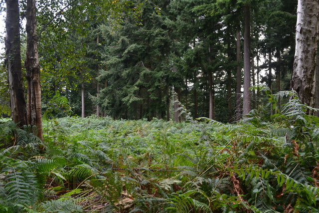
Castle Copse is a picturesque woodland located in Hampshire, England. Situated near the village of Bramshott, this ancient forest covers an area of approximately 100 acres. The copse is known for its diverse range of flora and fauna, making it a popular destination for nature enthusiasts and hikers alike.

The woodland is predominantly composed of mature oak trees, with a dense undergrowth of holly, hazel, and wildflowers. This mix of deciduous and evergreen species creates a rich and vibrant ecosystem, supporting a wide variety of wildlife. Visitors to Castle Copse can expect to encounter a plethora of bird species, including woodpeckers, owls, and various songbirds.

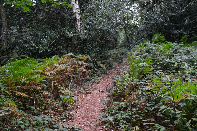
Trails wind through the forest, allowing visitors to explore its natural beauty. These paths offer stunning views of the surrounding countryside, with glimpses of rolling hills and meandering streams. The tranquil atmosphere of Castle Copse provides a serene escape from the hustle and bustle of everyday life.

In addition to its natural beauty, Castle Copse holds historical significance. The name “Castle” is derived from the ruins of Bramshott Castle, which once stood on the edge of the forest. This castle dates back to the 14th century and played a role in the English Civil War.

Overall, Castle Copse is a captivating woodland that showcases the beauty of Hampshire's natural landscape. With its ancient trees, diverse wildlife, and rich history, it offers a unique and enchanting experience for visitors of all ages.

If you have any feedback on the listing, please let us know in the comments section below.
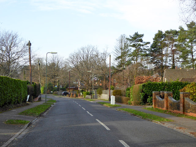
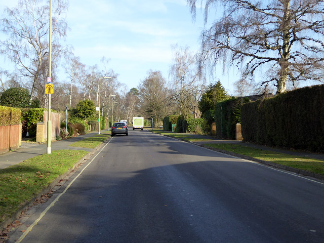
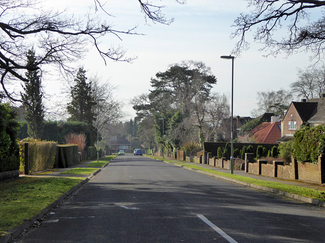
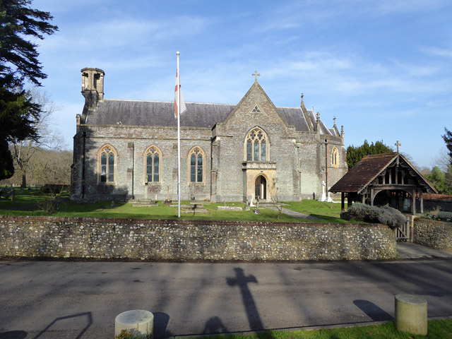
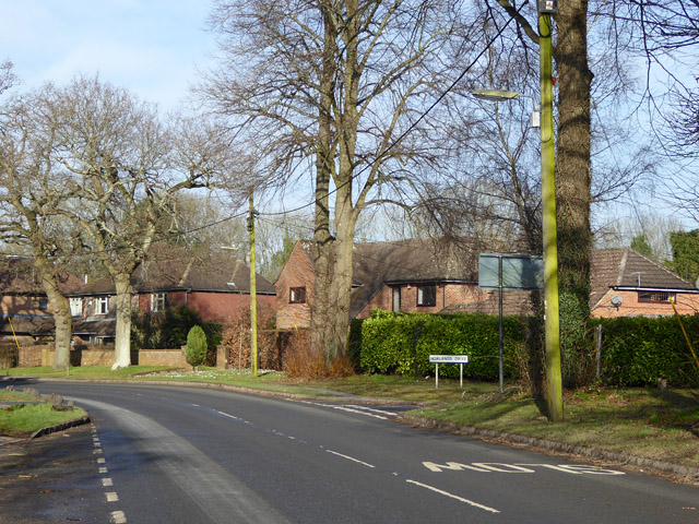
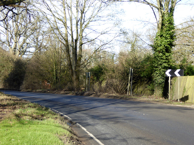
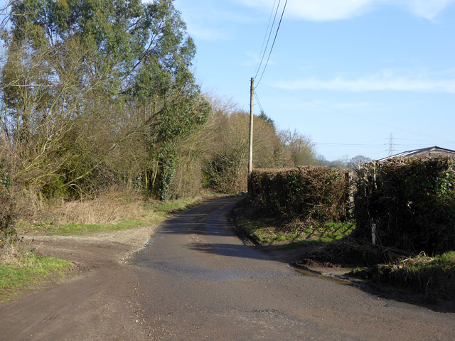
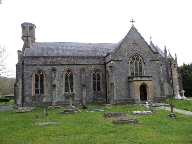
Castle Copse Images

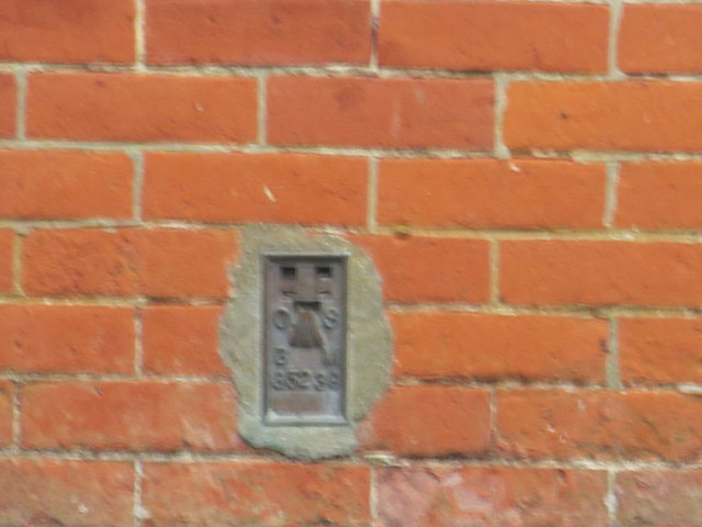
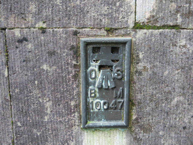
Images are sourced within 2km of 51.001725/-1.3674739 or Grid Reference SU4422. Thanks to Geograph Open Source API. All images are credited.

Allbrook Way heading to the M3
Northbound M3, Exit at Junction 12 The M3 motorway runs for 59 miles from Sunbury-on-Thames to Southampton. Construction started 1968 and was finally completed in 1995. The Winchester bypass through Twyford Downs was the most controversial section to be built.
Wikipedia: <span class="nowrap"><a title="http://en.wikipedia.org/wiki/M3_motorway_(Great_Britain)" rel="nofollow ugc noopener" href="http://en.wikipedia.org/wiki/M3_motorway_(Great_Britain)">Link</a><img style="margin-left:2px;" alt="External link" title="External link - shift click to open in new window" src="https://s1.geograph.org.uk/img/external.png" width="10" height="10"/></span>
Northbound M3, Exit at Junction 12
The M3 motorway runs for 59 miles from Sunbury-on-Thames to Southampton. Construction started 1968 and was finally completed in 1995. The Winchester bypass through Twyford Downs was the most controversial section to be built. Wikipedia: LinkExternal link
Corner of a clearing in Hocombe Upper Plantation
Footpath in Hocombe Upper Plantation
Valley Road, Chandler's Ford Looking west.
Valley Road, Chandler's Ford
Looking west.
Nichol Road, Hiltingbury, Chandler's Ford Looking north.
Nichol Road, Hiltingbury, Chandler's Ford
Looking north.
Marlborough Road,  Hiltingbury, Chandler's Ford Looking south.
Marlborough Road, Hiltingbury, Chandler's Ford
Looking south.
Otterbourne church St. Matthew's is a 19th century grade II*(star) listed building.
Otterbourne church
St. Matthew's is a 19th century grade II*(star) listed building.
Poles Lane, Otterbourne The turning for Norlands Drive is on the right.
Poles Lane, Otterbourne
The turning for Norlands Drive is on the right.
Bend on Poles Lane On the outskirts of Otterbourne.
Bend on Poles Lane
On the outskirts of Otterbourne.
Silkstead Lane A dead end as a surfaced road.
Silkstead Lane
A dead end as a surfaced road.
Kingsway in Chandlers Ford Looking southward.
Kingsway in Chandlers Ford
Looking southward.
The Church of St Edward the Confessor at Chandlers Ford Viewed from the east.
The Church of St Edward the Confessor at Chandlers Ford
Viewed from the east.
The Church of St Matthew at Otterbourne Viewed from the south-east.
The Church of St Matthew at Otterbourne
Viewed from the south-east.
Ordnance Survey Flush Bracket G5239 This bracket can be found on the wall of Chandlers Ford Infant School.
For more detail see : <span class="nowrap"><a title="http://www.bench-marks.org.uk/bm12939" rel="nofollow ugc noopener" href="http://www.bench-marks.org.uk/bm12939">Link</a><img style="margin-left:2px;" alt="External link" title="External link - shift click to open in new window" src="https://s1.geograph.org.uk/img/external.png" width="10" height="10"/></span>
Ordnance Survey Flush Bracket G5239
This bracket can be found on the wall of Chandlers Ford Infant School. For more detail see : LinkExternal link
Ordnance Survey Flush Bracket 10047 This bracket can be found on the wall of St Matthews Church at Otterbourne.
For more detail see : <span class="nowrap"><a title="http://www.bench-marks.org.uk/bm21194" rel="nofollow ugc noopener" href="http://www.bench-marks.org.uk/bm21194">Link</a><img style="margin-left:2px;" alt="External link" title="External link - shift click to open in new window" src="https://s1.geograph.org.uk/img/external.png" width="10" height="10"/></span>
Ordnance Survey Flush Bracket 10047
This bracket can be found on the wall of St Matthews Church at Otterbourne. For more detail see : LinkExternal link
M3  northbound - bridge at junction 12 The A335 crosses for Eastleigh.
M3 northbound - bridge at junction 12
The A335 crosses for Eastleigh.
M3 northbound nearing junction 12 For the A335 to Eastleigh.
M3 northbound nearing junction 12
For the A335 to Eastleigh.
Show me another place!

Castle Copse is located at Grid Ref: SU4422 (Lat: 51.001725, Lng: -1.3674739)

Administrative County: Hampshire

District: Winchester

Police Authority: Hampshire

What 3 Words

///gazed.rails.achieving. Near Compton, Hampshire

Related Wikis

Cranbury Park

Cranbury Park is a stately home and country estate situated in the parish of Hursley, Winchester, England. It was formerly the home to Sir Isaac Newton...

Thornden School

Thornden School is a secondary school with academy status in Chandlers Ford, Hampshire. It is an 11-16 (no sixth form), mixed specialist Arts College...

Lakeside School, Chandler's Ford

Lakeside School is an 11–16 boys special school with specialist SEN status located in Chandler's Ford, Hampshire, England. The head teacher is Mr Gareth...

Hiltingbury

Hiltingbury is an area within the Borough of Eastleigh in Hampshire, England. There are two electoral wards representing Hiltingbury, returning a total...

Nearby Amenities

Located within 500m of 51.001725,-1.3674739
Cranbury Park
Place: locality
Lat/Long: 51.005046/-1.3665086
Barrier: cattle_grid
Bicycle: no
Foot: no
Lat/Long: 51.0057522/-1.3683132
Barrier: cattle_grid
Bicycle: yes
Foot: yes
Motorcar: yes
Motorcycle: yes
Lat/Long: 51.0059887/-1.3652507
Post Box
Collection Plate: CP7D
Collection Times: Mo-Fr 09:00; Sa 07:00
Operator: Royal Mail
Post Box Type: lamp
Ref: SO53 489D
Royal Cypher: EIIR
Royal Cypher Wikidata: Q33102113
Lat/Long: 51.0002252/-1.3686281
Board Type: history
Description: folly ruins & tower built from stones of ruined Netley Castle 1770
Information: board
Tourism: information
Lat/Long: 51.002416/-1.3636457
The data included in this document is from www.openstreetmap.org. The data is made available under ODbL.

Have you been to Castle Copse?

Leave your review of Castle Copse below (or comments, questions and feedback).