East Lake

Lake, Pool, Pond, Freshwater Marsh in Warwickshire Rugby

England

East Lake

Road from Birdingbury to Leamington Hastings
Road from Birdingbury to Leamington Hastings Credit: Robin Webster

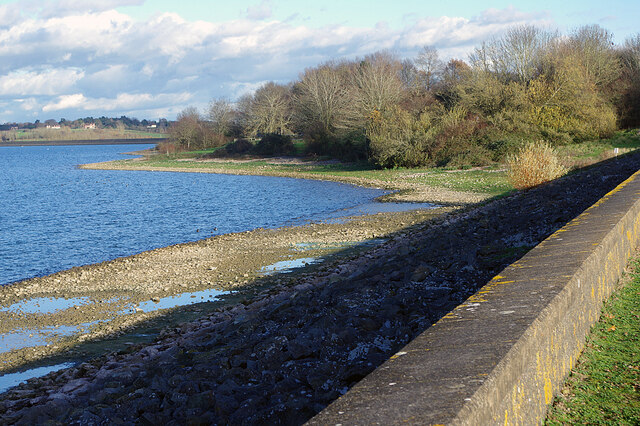
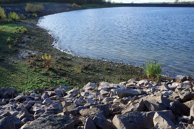
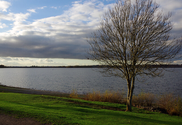
East Lake, Warwickshire is a picturesque freshwater body located in the heart of the county, known for its serene beauty and diverse ecosystem. This natural wonder is a combination of a lake, pool, pond, and freshwater marsh, making it a unique and captivating destination for nature enthusiasts.

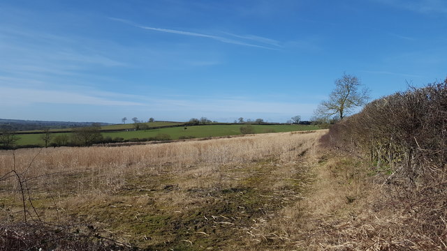
Stretching over an area of approximately 100 acres, East Lake is surrounded by lush greenery and offers breathtaking views of the surrounding Warwickshire countryside. The lake itself is a haven for various species of aquatic plants and animals, providing a thriving ecosystem. The crystal-clear waters of the lake are home to a multitude of fish species, including perch, pike, and roach, making it a popular spot for fishing enthusiasts.

The surrounding pool and pond areas are ideal habitats for a variety of waterfowl, such as ducks, swans, and herons. These graceful creatures can often be seen gracefully gliding across the calm waters or nesting along the lake's edges. The diverse birdlife in the area also attracts birdwatchers, who flock to East Lake to spot and observe rare and migratory species.

Additionally, the freshwater marsh surrounding the lake is a haven for various marshland plants and wildlife, including reeds, rushes, and frogs. This marshy habitat adds to the overall biodiversity of East Lake and provides a unique environment for nature lovers to explore.

East Lake, Warwickshire, offers a tranquil escape from the bustling city life, providing visitors with an opportunity to connect with nature and enjoy the serene beauty of the Warwickshire countryside. Whether it's fishing, birdwatching, or simply enjoying a peaceful stroll along the lake's edge, East Lake offers something for everyone seeking a slice of natural paradise.

If you have any feedback on the listing, please let us know in the comments section below.
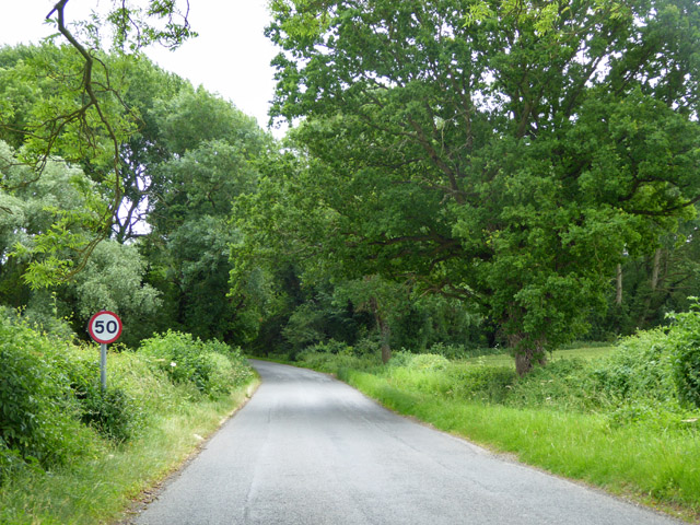
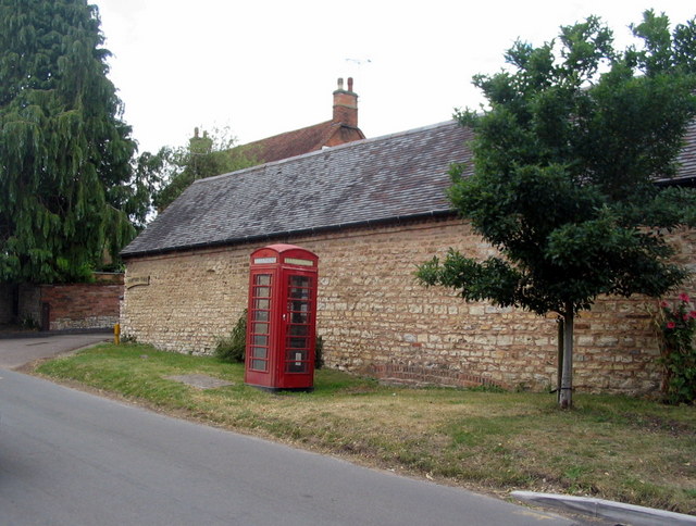
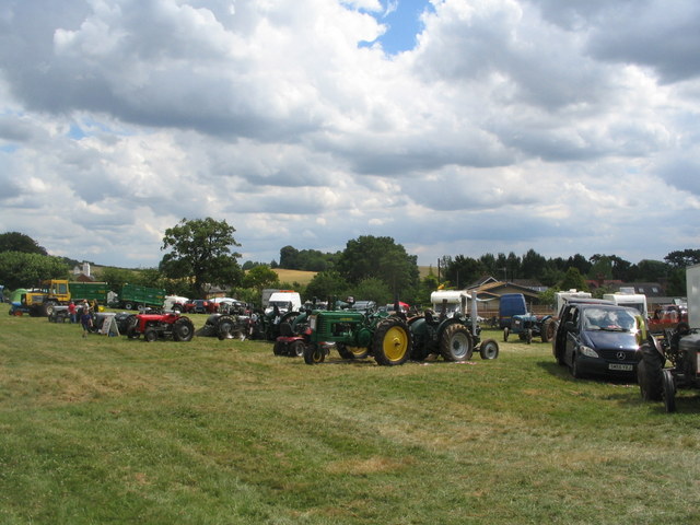
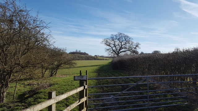
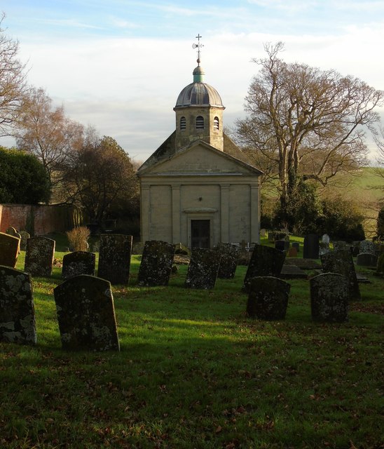
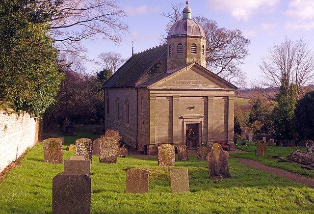
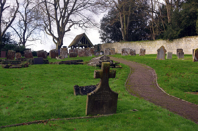
East Lake Images

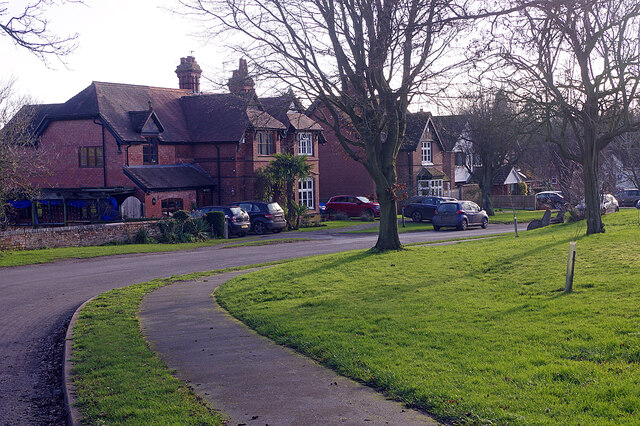
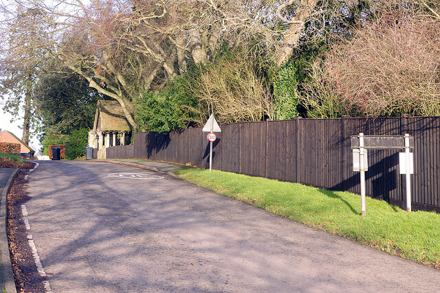
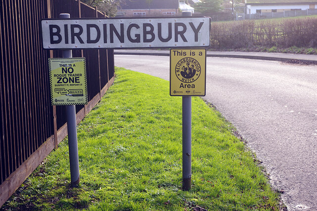
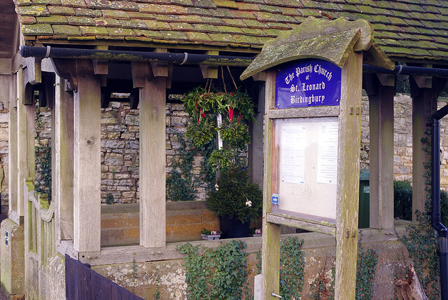
Images are sourced within 2km of 52.32455/-1.3494492 or Grid Reference SP4469. Thanks to Geograph Open Source API. All images are credited.

Road from Birdingbury to Leamington Hastings
Telephone kiosk The telephone box in Main Street Birdingbury still housed a telephone at the time the photograph was taken.
Telephone kiosk
The telephone box in Main Street Birdingbury still housed a telephone at the time the photograph was taken.
Birdingbury Country Show 2017 Vintage tractors at the final Birdingbury Country Show.  The show evolved over 28 years from a village festival held in the village streets to a two day country show held in nearby fields. 

Together with the tractors were several vintage pieces of farming equipment. Other exhibits included vintage commercial vehicles, cars, motorcycles and stationary engines as well as a few steam powered vehicles.
Birdingbury Country Show 2017
Vintage tractors at the final Birdingbury Country Show. The show evolved over 28 years from a village festival held in the village streets to a two day country show held in nearby fields. Together with the tractors were several vintage pieces of farming equipment. Other exhibits included vintage commercial vehicles, cars, motorcycles and stationary engines as well as a few steam powered vehicles.
Open fields under a winter sky A view of the open fields north of Birdingbury.
Open fields under a winter sky
A view of the open fields north of Birdingbury.
Field entrance Grassland north of Birdingbury.
Field entrance
Grassland north of Birdingbury.
St Leonard's Church, Birdingbury
Draycote Water Showing the eastern end of the south embankment.
Draycote Water
Showing the eastern end of the south embankment.
Draycote Water Showing the western end of the south embankment.
Draycote Water
Showing the western end of the south embankment.
Draycote Water Looking across the reservoir from just west of the sailing club.
Draycote Water
Looking across the reservoir from just west of the sailing club.
Birdingbury Viaduct The Birdingbury - Bourton on Dunsmore Road passes over the River Leam and then under the substantial structure that once carried the Rugby - Leamington railway over the river.
Birdingbury Viaduct
The Birdingbury - Bourton on Dunsmore Road passes over the River Leam and then under the substantial structure that once carried the Rugby - Leamington railway over the river.
River Leam from Birdingbury Bridge Looking upstream with the river swollen by recent heavy rainfall and in the aftermath of Storm Bella the previous night. The Leam is a tributary of the Warwickshire Avon.
River Leam from Birdingbury Bridge
Looking upstream with the river swollen by recent heavy rainfall and in the aftermath of Storm Bella the previous night. The Leam is a tributary of the Warwickshire Avon.
Birdingbury Viaduct The viaduct carries the disused Rugby - Leamington railway across the River Leam, swollen by recent rainfall and in the aftermath of the previous night's Storm Bella. The railway was opened in 1851 and closed to passengers in 1959 although a daily coal train to Southam Cement Works continued until 1985.
Birdingbury Viaduct
The viaduct carries the disused Rugby - Leamington railway across the River Leam, swollen by recent rainfall and in the aftermath of the previous night's Storm Bella. The railway was opened in 1851 and closed to passengers in 1959 although a daily coal train to Southam Cement Works continued until 1985.
Main Street, Birdingbury Looking down towards the village centre.
Main Street, Birdingbury
Looking down towards the village centre.
Road to Bourton on Dunsmore, Birdingbury The northern extension of Main Street climbs up out of the village and passes the church lych gate.
Road to Bourton on Dunsmore, Birdingbury
The northern extension of Main Street climbs up out of the village and passes the church lych gate.
Entering Birdingbury Arrival in Birdingbury, a Warwickshire village with a population (at the 2011 census) of 362, from the Bourton on Dunsmore direction is announced by this sign which also tells us that it is a neighbourhood watch area and a 'no rogue trader zone'. 'No rogue trader zones' is a scheme operated by Warwickshire County Council’s trading standards service and supported by Warwickshire Police. The idea is that residents are encouraged to report suspicious trading activity to Warwickshire Trading Standard's rapid response team. Whether this actually deters rogue traders is open to question.
Entering Birdingbury
Arrival in Birdingbury, a Warwickshire village with a population (at the 2011 census) of 362, from the Bourton on Dunsmore direction is announced by this sign which also tells us that it is a neighbourhood watch area and a 'no rogue trader zone'. 'No rogue trader zones' is a scheme operated by Warwickshire County Council’s trading standards service and supported by Warwickshire Police. The idea is that residents are encouraged to report suspicious trading activity to Warwickshire Trading Standard's rapid response team. Whether this actually deters rogue traders is open to question.
The lych gate, Birdingbury Church St Leonard's Church lych gate is a fairly substantial affair and sports some Christmas decorations. Even the church notice board has an attractive design.
The lych gate, Birdingbury Church
St Leonard's Church lych gate is a fairly substantial affair and sports some Christmas decorations. Even the church notice board has an attractive design.
Birdingbury Church St Leonard's is an unlikely looking building for a Warwickshire village church. It has been described as 'like something out of Bavaria or perhaps a very unusual cemetery chapel'. The church dates from 1775 when it replaced an older building that was 'ruinous, wholly decayed and dilapidated'. Extensive alterations were undertaken in 1876 to give the church a, by then, more fashionable gothic appearance.
Birdingbury Church
St Leonard's is an unlikely looking building for a Warwickshire village church. It has been described as 'like something out of Bavaria or perhaps a very unusual cemetery chapel'. The church dates from 1775 when it replaced an older building that was 'ruinous, wholly decayed and dilapidated'. Extensive alterations were undertaken in 1876 to give the church a, by then, more fashionable gothic appearance.
Birdingbury churchyard Looking away from St Leonard's Church towards the lych gate.
Birdingbury churchyard
Looking away from St Leonard's Church towards the lych gate.
Show me another place!

East Lake is located at Grid Ref: SP4469 (Lat: 52.32455, Lng: -1.3494492)

Administrative County: Warwickshire

District: Rugby

Police Authority: Warwickshire

What 3 Words

///resorting.waggled.focal. Near Dunchurch, Warwickshire

Related Wikis

Draycote

Draycote is a small hamlet in Warwickshire, England. It forms part of the civil parish of Bourton and Draycote along with nearby Bourton-on-Dunsmore, which...

Bourton and Draycote

Bourton and Draycote is a civil parish in the Rugby borough of Warwickshire, England which consists of the villages of Bourton-on-Dunsmore and Draycote...

Draycote Water

Draycote Water is a 240-hectare (590-acre) reservoir and country park near the village of Dunchurch, 3.75 miles (6 km) south of Rugby in Warwickshire,...

Bourton-on-Dunsmore

Bourton-on-Dunsmore is a small village in Warwickshire, England. It is within the civil parish of Bourton and Draycote, along with the nearby hamlet of...

Nearby Amenities

Located within 500m of 52.32455,-1.3494492
Bus Stop
Chapel Farm
Bus: yes
Naptan AtcoCode: 4200F019300
Naptan Bearing: NE
Naptan CommonName: Chapel Farm
Naptan Indicator: Opp
Naptan NaptanCode: warajtwg
Naptan Street: Birdingbury Road
Naptan Verified: no
Public Transport: platform
Source: naptan_import
Lat/Long: 52.3278791/-1.3473722
Draycote
Place: village
Wikidata: Q780664
Lat/Long: 52.3256886/-1.3488869
Barrier: stile
Lat/Long: 52.3268837/-1.3526996
Board Type: nature
Information: board
Tourism: information
Lat/Long: 52.326478/-1.3536001
Barrier: cycle_barrier
Lat/Long: 52.3267742/-1.3528716
Barrier: stile
Lat/Long: 52.3268424/-1.3499831
Barrier: cycle_barrier
Lat/Long: 52.3271132/-1.3528867
Board Type: nature
Information: board
Tourism: information
Lat/Long: 52.3275838/-1.3518405
Post Box
Collection Times: Mo-Fr 16:30; Sa 10:15
Operator: Royal Mail
Post Box Mounting: pier
Post Box Type: lamp
Ref: CV23 121
Royal Cypher: EIIR
Royal Cypher Wikidata: Q33102113
Source: survey
Lat/Long: 52.3257309/-1.3482997
Bench
Backrest: yes
Material: wood
Source: survey
Lat/Long: 52.3258118/-1.3486941
Bench
Backrest: yes
Material: wood
Source: survey
Lat/Long: 52.3257954/-1.3485894
Barrier: cycle_barrier
Lat/Long: 52.326745/-1.3527629
Telephone
Booth: K6
Covered: booth
Operator: BT
Phone: +44 1926 632383
Lat/Long: 52.3257066/-1.3482852
The data included in this document is from www.openstreetmap.org. The data is made available under ODbL.

Have you been to East Lake?

Leave your review of East Lake below (or comments, questions and feedback).