Beighton Mill Tail Goit

Lake, Pool, Pond, Freshwater Marsh in Yorkshire

England

Beighton Mill Tail Goit

East of the lake at Rother Valley Country Park
East of the lake at Rother Valley Country Park Credit: Tom Page

The requested URL returned error: 429 Too Many Requests

If you have any feedback on the listing, please let us know in the comments section below.

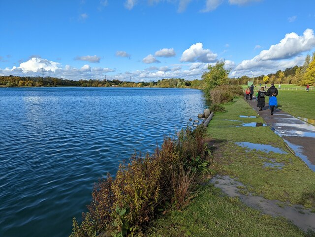
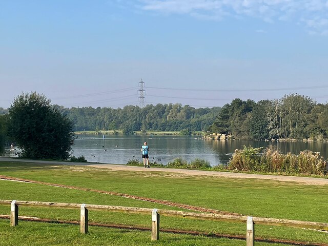
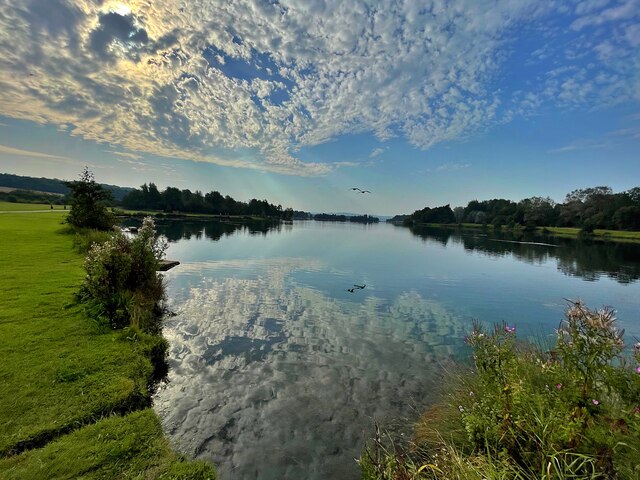
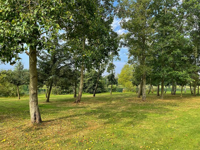
Beighton Mill Tail Goit Images

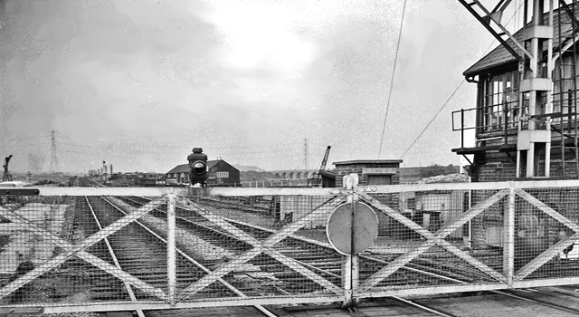
Images are sourced within 2km of 53.355989/-1.3337059 or Grid Reference SK4484. Thanks to Geograph Open Source API. All images are credited.

East of the lake at Rother Valley Country Park
Meat or fish for tea today? Butcher's and fish 'n chips shops in Swallownest
Meat or fish for tea today?
Butcher's and fish 'n chips shops in Swallownest
Old milestone On Aughton High Street, now just to the right of a large grey utilities cabinet, this milestone can be difficult to spot behind parked cars.  It has rusted badly and may disappear into the bush growing out of the pavement.   There is slight damage to the bottom right hand corner below the hole for a fixing bolt.  There was a Rotherham to Pleasley turnpike from 1764 to 1874.   But in 1893/94 the young West Riding CC had 615 of this type of milestone set up on many routes they wished to promote for trade not only on old turnpike routes.
Old milestone
On Aughton High Street, now just to the right of a large grey utilities cabinet, this milestone can be difficult to spot behind parked cars. It has rusted badly and may disappear into the bush growing out of the pavement. There is slight damage to the bottom right hand corner below the hole for a fixing bolt. There was a Rotherham to Pleasley turnpike from 1764 to 1874. But in 1893/94 the young West Riding CC had 615 of this type of milestone set up on many routes they wished to promote for trade not only on old turnpike routes.
Old milestone Worksop Road in Aston was the original main route to and from Sheffield.   This milestone opposite Lodge Lane is one of four stones remaining  from the era of the 16 mile long Worksop to Attercliffe (Sheffield) tollroad, 1764-1881.   The plate has disappeared since 1992 when it was first photographed but a feature is made of the stone now with the pebble surround.   It is Grade II listed, 1151883. Link <a href="https://www.geograph.org.uk/photo/6778202">SK4785 : Old milestone off B6067, old Worksop Road, M1 junction 31</a> for Sheffield 9 which does have its plate.
Old milestone
Worksop Road in Aston was the original main route to and from Sheffield. This milestone opposite Lodge Lane is one of four stones remaining from the era of the 16 mile long Worksop to Attercliffe (Sheffield) tollroad, 1764-1881. The plate has disappeared since 1992 when it was first photographed but a feature is made of the stone now with the pebble surround. It is Grade II listed, 1151883. Link SK4785 : Old milestone off B6067, old Worksop Road, M1 junction 31 for Sheffield 9 which does have its plate.
The lake in Rother Valley Country Park
Rother Valley Lake The northern lake in Rother Valley Country Park
Rother Valley Lake
The northern lake in Rother Valley Country Park
Copse in Rother Valley Country Park
Michaelmas daisies, Rother Valley country park On the eastern shore of Rother Valley Lake. The country park is on the site of former quarries.
Michaelmas daisies, Rother Valley country park
On the eastern shore of Rother Valley Lake. The country park is on the site of former quarries.
River Rother, Rother Valley country park Looking downstream [locally north] from Pit Lane bridge. For more information and a view of the river sixteen years earlier, see <a href="https://www.geograph.org.uk/photo/539706">SK4583 : River Rother, near Waleswood</a>.
River Rother, Rother Valley country park
Looking downstream [locally north] from Pit Lane bridge. For more information and a view of the river sixteen years earlier, see SK4583 : River Rother, near Waleswood.
Bridleway, Rother Valley country park On the east bank of the current route of the River Rother. The river was rerouted to facilitate opencast mining in the 1950s.
Bridleway, Rother Valley country park
On the east bank of the current route of the River Rother. The river was rerouted to facilitate opencast mining in the 1950s.
Gulliver's Valley, Rotherham
Overflow car park at Gulliver's Valley, Rotherham
North end of Rother Valley Lake
Lake North of Rother Valley Lake
Crystal Peaks - Entrance from the Blue Car Park
Beighton/Drake House Lane Tramstop
The Gypsy Queen A Greene King pub/restaurant serving the Hungry Horse menu, but not fully branded as one, though it was in the past <a href="https://www.geograph.org.uk/photo/5803100">SK4383 : Gypsy Queen public house, Beighton</a>  Original built by Hardy Hanson as a Kimberly Ales house.
The Gypsy Queen
A Greene King pub/restaurant serving the Hungry Horse menu, but not fully branded as one, though it was in the past SK4383 : Gypsy Queen public house, Beighton Original built by Hardy Hanson as a Kimberly Ales house.
The sign of the Gypsy Queen See: <a href="https://www.geograph.org.uk/photo/7715302">SK4383 : The Gypsy Queen</a>
The sign of the Gypsy Queen
Show me another place!

Beighton Mill Tail Goit is located at Grid Ref: SK4484 (Lat: 53.355989, Lng: -1.3337059)

Division: West Riding

Unitary Authority: Rotherham

Police Authority: South Yorkshire

What 3 Words

///image.stick.forces. Near Beighton, South Yorkshire

Nearby Locations

Beighton Mill Tail Goit

Related Wikis

Ochre Dyke

The Ochre Dyke is a small stream in the south eastern part of the City of Sheffield in South Yorkshire, England. It rises some 100m to the east/south east...

Swallownest railway station

Swallownest railway station was a planned railway station which was planned to open to serve the growing townships of Aston and Swallownest east of Sheffield...

Beighton railway station

Beighton railway station is a former railway station near the village of Beighton on the border between Derbyshire and South Yorkshire, England. ��2...

Swallownest

Swallownest is a village in the civil parish of Aston cum Aughton and the Metropolitan Borough of Rotherham, South Yorkshire, England. The village is 4...

Nearby Amenities

Located within 500m of 53.355989,-1.3337059
Bus Stop
Chesterfield Road
Naptan AtcoCode: 370035854
Naptan Bearing: NE
Naptan CommonName: Chesterfield Road
Naptan Indicator: 35854
Naptan Landmark: Rother Valley Country Park
Naptan PlusbusZoneRef: ROTHCEN
Naptan Street: Chesterfield Road
Naptan Verified: no
Source: naptan_import
Lat/Long: 53.3558722/-1.327643
Bus Stop
Chesterfield Road
Naptan AtcoCode: 370035855
Naptan Bearing: SW
Naptan CommonName: Chesterfield Road
Naptan Indicator: 35855
Naptan Landmark: Rother Valley Country Park
Naptan PlusbusZoneRef: ROTHCEN
Naptan Street: Chesterfield Road
Naptan Verified: no
Source: naptan_import
Lat/Long: 53.3554512/-1.32789
Railway: buffer_stop
Lat/Long: 53.3528376/-1.3374193
Power: tower
Lat/Long: 53.3589224/-1.3335721
Power: tower
Lat/Long: 53.3542971/-1.3328384
Power: pole
Lat/Long: 53.3566124/-1.3268199
Power: pole
Lat/Long: 53.3566836/-1.3270895
Power: pole
Lat/Long: 53.3567187/-1.326749
Power: pole;switch
Lat/Long: 53.3568396/-1.3270583
Power: pole
Lat/Long: 53.3570356/-1.3275721
Power: pole
Lat/Long: 53.3578558/-1.328763
Power: pole
Lat/Long: 53.3584347/-1.3298485
Mini Roundabout
Lat/Long: 53.3523249/-1.3341684
CRH Plant Hire
Landuse: retail
Lat/Long: 53.3571008/-1.3282301
Sheffield Caravans
Landuse: retail
Lat/Long: 53.3575085/-1.3279283
We Buy Good Cars
Landuse: retail
Lat/Long: 53.3576033/-1.3267805
Power: pole
Lat/Long: 53.3573159/-1.3281352
Barrier: block
Lat/Long: 53.3544597/-1.3280028
Parking
Access: yes
Capacity: 15
Fee: no
Lat/Long: 53.3545679/-1.3282936
Barrier: block
Lat/Long: 53.3544885/-1.3279816
Charging Station
Brand: Instavolt
Capacity: 4
Operator: InstaVolt
Operator Wikidata: Q111173904
Lat/Long: 53.3553065/-1.3292503
Waterway: weir
Lat/Long: 53.3524206/-1.332237
Artwork Type: sculpture
Tourism: artwork
Lat/Long: 53.3585743/-1.3385675
Barrier: stile
Lat/Long: 53.3545646/-1.3327509
Artwork Type: sculpture
Tourism: artwork
Lat/Long: 53.3570638/-1.3350798
Barrier: cycle_barrier
Lat/Long: 53.3534391/-1.3319199
Information: board
Tourism: information
Lat/Long: 53.3551615/-1.33295
Artwork Type: sculpture
Tourism: artwork
Lat/Long: 53.3579906/-1.3356736
Generator Method: photovoltaic
Generator Output Electricity: yes
Generator Source: solar
Generator Type: solar_photovoltaic_panel
Location: roof
Power: generator
Lat/Long: 53.3587427/-1.3282487
Generator Method: photovoltaic
Generator Output Electricity: yes
Generator Source: solar
Generator Type: solar_photovoltaic_panel
Location: roof
Power: generator
Lat/Long: 53.3588731/-1.3295647
Generator Method: photovoltaic
Generator Output Electricity: yes
Generator Source: solar
Generator Type: solar_photovoltaic_panel
Location: roof
Power: generator
Lat/Long: 53.3603934/-1.3327705
Generator Method: photovoltaic
Generator Output Electricity: yes
Generator Source: solar
Generator Type: solar_photovoltaic_panel
Location: roof
Power: generator
Lat/Long: 53.3587198/-1.3285536
Power: transformer
Lat/Long: 53.3567784/-1.3274034
Power: transformer
Lat/Long: 53.3569343/-1.3269379
Power: switch
Lat/Long: 53.3569204/-1.3271142
Power: switch
Lat/Long: 53.3568914/-1.3272371
Power: switch
Lat/Long: 53.3568109/-1.3272001
Power: switch
Lat/Long: 53.356704/-1.3271572
Location: outdoor
Operator: Chesterfield Road Gas Peaking Plant
Phases: 3
Power: transformer
Rating: 20MVA
Transformer: generator
Lat/Long: 53.3575291/-1.3297077
Leisure: outdoor_seating
Lat/Long: 53.3550689/-1.3299666
Fast Food
Subway
Brand: Subway
Brand Wikidata: Q244457
Cuisine: sandwich
Takeaway: yes
Lat/Long: 53.3561068/-1.3276754
The data included in this document is from www.openstreetmap.org. The data is made available under ODbL.

Have you been to Beighton Mill Tail Goit?

Leave your review of Beighton Mill Tail Goit below (or comments, questions and feedback).