South Black Water
Lake, Pool, Pond, Freshwater Marsh in Shetland
Scotland
South Black Water

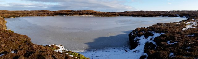
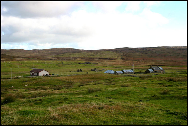
South Black Water is a small freshwater marsh located in the Shetland Islands, Scotland. It is situated in the southern part of the island, near the village of South Nesting. Covering an area of approximately 10 acres, South Black Water is a picturesque wetland ecosystem that attracts a diverse range of wildlife and plant species.
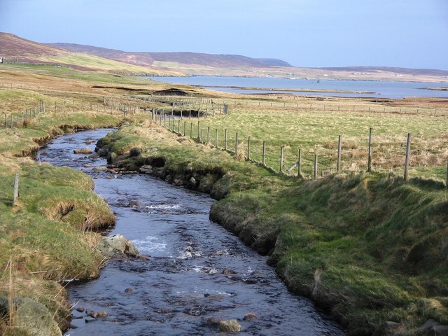
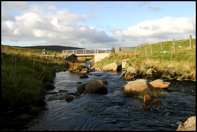
The marsh is characterized by its shallow, stagnant water and abundant vegetation. It is surrounded by low-lying grassland and heath, creating a unique habitat for various species. The water in South Black Water is fed by natural springs and rainfall, resulting in a constant supply of freshwater throughout the year.
The marsh is home to a rich array of plant life, including reeds, rushes, sedges, and water lilies. These plants provide shelter and food for many animals, such as water voles, frogs, and newts. The area is also a breeding ground for a variety of bird species, including ducks, swans, and herons.
South Black Water is a popular spot for birdwatching and nature enthusiasts, who can observe the diverse birdlife and wildlife from designated viewing areas. The tranquil surroundings and the abundance of flora and fauna make it an ideal location for photographers and nature lovers alike.
The South Black Water marsh is a valuable natural resource, as it supports a delicate ecosystem and provides a habitat for numerous species. Efforts are made to preserve and protect this wetland, including the implementation of conservation measures and educational programs to raise awareness about its ecological importance.
If you have any feedback on the listing, please let us know in the comments section below.
South Black Water Images
Images are sourced within 2km of 60.320489/-1.1967004 or Grid Reference HU4459. Thanks to Geograph Open Source API. All images are credited.


South Black Water is located at Grid Ref: HU4459 (Lat: 60.320489, Lng: -1.1967004)
Unitary Authority: Shetland Islands
Police Authority: Highlands and Islands
What 3 Words
///professed.prowling.upwards. Near Vidlin, Shetland Islands
Nearby Locations
Related Wikis

Viking Wind Farm
Viking Wind Farm is a large on-shore wind farm under construction in the Shetland Islands which is being developed by Viking Energy, a partnership between...
Geopark Shetland
Geopark Shetland is the name used by the Geopark formally established in September 2009 on its entry into the European Geoparks Network. The Geopark extends...

Billister
Billister is a settlement in the parish of Nesting, on the island of Mainland, in Shetland, Scotland. It is on Lax Firth. Billister was formerly the terminal...

Central Mainland
The Central Mainland of the Shetland Islands is the part of the Mainland, the largest of the Shetland Islands, Scotland. It is located between Hellister...
Nearby Amenities
Located within 500m of 60.320489,-1.1967004Have you been to South Black Water?
Leave your review of South Black Water below (or comments, questions and feedback).