Swardy Hill Plantation

Wood, Forest in Yorkshire

England

Swardy Hill Plantation

Pennine Way at Doe Stones & view towards Edge End Moor
Pennine Way at Doe Stones & view towards Edge End Moor Credit: Colin Park

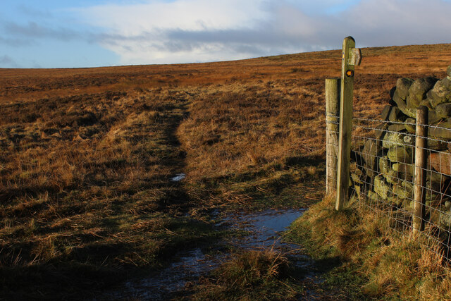
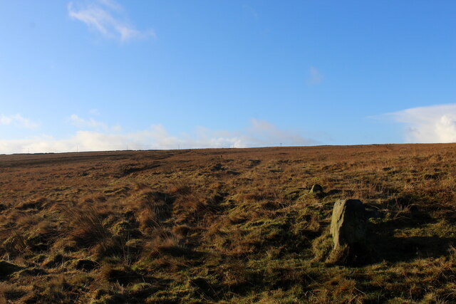
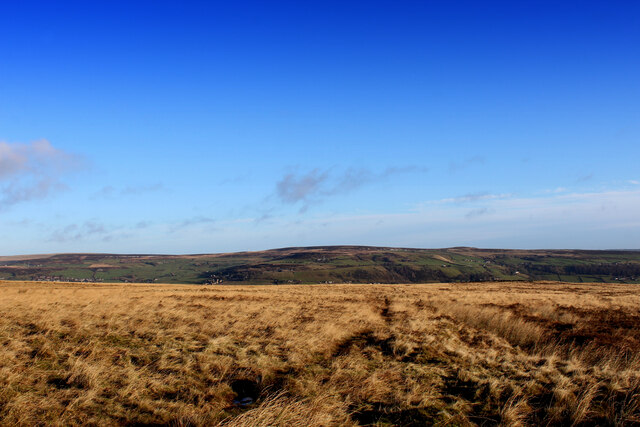
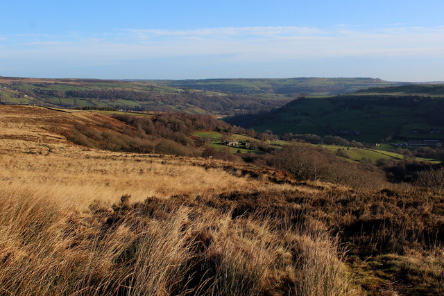
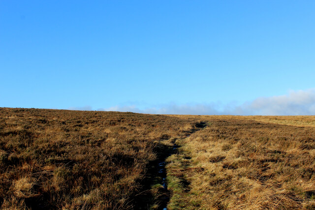
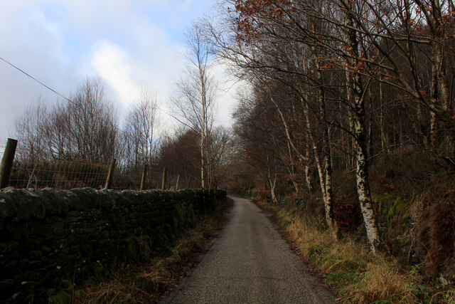
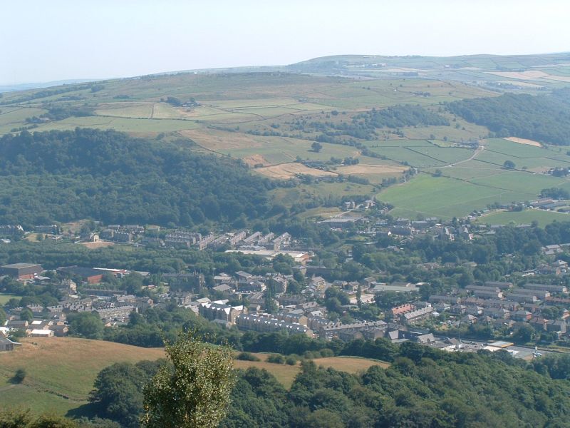
Swardy Hill Plantation is a picturesque woodland located in the county of Yorkshire, England. Covering an area of approximately 100 acres, it is a prominent feature of the local landscape and offers a serene retreat for nature enthusiasts.

The plantation primarily consists of dense deciduous trees, such as oak, beech, and birch, which create a vibrant and diverse ecosystem. The canopy formed by these trees provides ample shade, making it an ideal habitat for a variety of wildlife, including birds, squirrels, and small mammals.

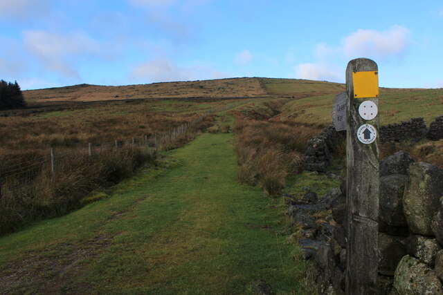
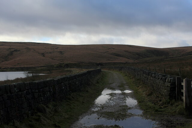
Visitors to Swardy Hill Plantation are greeted by well-maintained walking trails that meander through the woodland, allowing them to explore and appreciate the natural beauty of the area. These trails are suitable for all levels of fitness, making it accessible to hikers of different abilities.

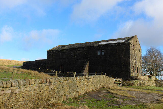
One of the notable features of Swardy Hill Plantation is its rich history. Dating back several centuries, the woodland has been carefully managed and preserved by generations of landowners. This long-standing stewardship has contributed to the plantation's thriving ecosystem and has also helped maintain its historic charm.

Due to its tranquil setting and stunning scenery, Swardy Hill Plantation has become a popular destination for nature lovers, photographers, and those seeking a peaceful escape from the hustle and bustle of everyday life. Whether it's a leisurely stroll, birdwatching, or simply enjoying the serenity of nature, the plantation offers a wonderful experience for visitors of all ages.

If you have any feedback on the listing, please let us know in the comments section below.

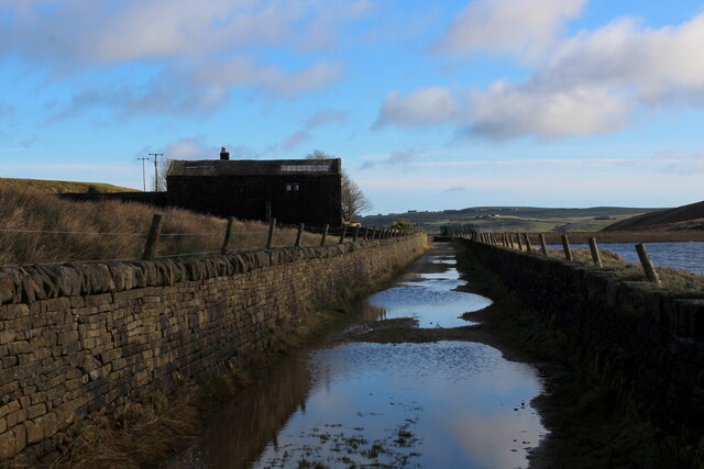
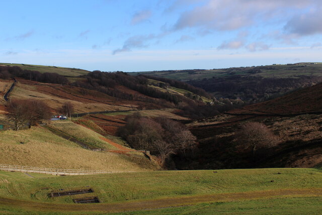
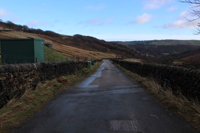
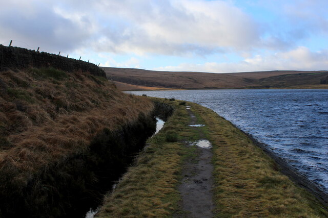
Swardy Hill Plantation Images

Images are sourced within 2km of 53.708078/-2.0104914 or Grid Reference SD9923. Thanks to Geograph Open Source API. All images are credited.

Pennine Way at Doe Stones & view towards Edge End Moor
Striding onto Erringden Moor Plenty of footpaths to choose from, when walking on this stretch of moorland
Striding onto Erringden Moor
Plenty of footpaths to choose from, when walking on this stretch of moorland
Old Boundary Stone on Erringden Moor There are plenty of these stones forming a line across the moor
Old Boundary Stone on Erringden Moor
There are plenty of these stones forming a line across the moor
Footpath on Erringden Moor Narrow but distinct footpath crossing Erringden Moor
Footpath on Erringden Moor
Narrow but distinct footpath crossing Erringden Moor
On the Edge of Erringden Moor Great view of Cragg Vale and Calderdale from here.
On the Edge of Erringden Moor
Great view of Cragg Vale and Calderdale from here.
On Erringden Moor One of many footpaths that can be found on this stretch of moorland
On Erringden Moor
One of many footpaths that can be found on this stretch of moorland
View towards Stoodley Pike Monument from Dick's Lane
Calderdale Way ascending away from Withens Clough Reservoir The long distance footpath initially heading north, before swinging west towards Withens Gate on the Pennine Way
Calderdale Way ascending away from Withens Clough Reservoir
The long distance footpath initially heading north, before swinging west towards Withens Gate on the Pennine Way
Withens New Road Track beside the western end of Withens Clough Reservoir as darkness closes in.
Withens New Road
Track beside the western end of Withens Clough Reservoir as darkness closes in.
Large Outbuilding beside Pasture House The outbuilding is larger than the farmhouse itself, which is concealed from view behind this bulky edifice.
The complex is located beside Withens Clough Reservoir, and seems to be the only sign of habitation in the vicinity.
The outbuilding appears to be a converted barn in need of some repair.
Passed by on the Calderdale Way long distance footpath.
Large Outbuilding beside Pasture House
The outbuilding is larger than the farmhouse itself, which is concealed from view behind this bulky edifice. The complex is located beside Withens Clough Reservoir, and seems to be the only sign of habitation in the vicinity. The outbuilding appears to be a converted barn in need of some repair. Passed by on the Calderdale Way long distance footpath.
Flooded New Withens Road Approaching Pasture House on the Calderdale Way long distance footpath beside Withens Clough Reservoir
Flooded New Withens Road
Approaching Pasture House on the Calderdale Way long distance footpath beside Withens Clough Reservoir
View from Atop the Dam Wall of Withens Clough Reservoir Looking down Withens Clough towards Cragg Vale
View from Atop the Dam Wall of Withens Clough Reservoir
Looking down Withens Clough towards Cragg Vale
Rudd Lane Access lane heading away from Withens Clough Reservoir towards Cragg Vale.
Adopted by the Calderdale Way long distance footpath.
Rudd Lane
Access lane heading away from Withens Clough Reservoir towards Cragg Vale. Adopted by the Calderdale Way long distance footpath.
Beside Withens Clough Reservoir
On Rudd Lane Heading up towards Withens Clough Reservoir from Cragg Vale, adopted by the Calderdale Way.
On Rudd Lane
Heading up towards Withens Clough Reservoir from Cragg Vale, adopted by the Calderdale Way.
The Hinchliffe Arms Local watering hole in Cragg Vale, passed by on the Calderdale Way
The Hinchliffe Arms
Local watering hole in Cragg Vale, passed by on the Calderdale Way
The Lodge, Cragg Vale Former gatehouse for Cragg Hall, and Grade II Listed Building
The Lodge, Cragg Vale
Former gatehouse for Cragg Hall, and Grade II Listed Building
Old Cragg Hall
Old Cragg Hall
Show me another place!

Swardy Hill Plantation is located at Grid Ref: SD9923 (Lat: 53.708078, Lng: -2.0104914)

Division: West Riding

Unitary Authority: Calderdale

Police Authority: West Yorkshire

What 3 Words

///intrigues.piles.giraffes. Near Mytholmroyd, West Yorkshire

Related Wikis

Upper Calder Valley

The Upper Calder Valley lies in West Yorkshire, in northern England, and covers the towns of Todmorden, Hebden Bridge, Mytholmroyd, Luddendenfoot, and...

Cragg Vale

Cragg Vale is a village in Calderdale, West Yorkshire, England, located south of Mytholmroyd on the B6138 road which joins the A58 and the A646. The village...

Stoodley Pike

Stoodley Pike is a 1,300-foot (400 m) hill in the south Pennines in West Yorkshire in northern England. It is noted for the 121-foot (37 m) Stoodley Pike...

Erringden

Erringden is a civil parish in the Metropolitan Borough of Calderdale in West Yorkshire, England. Previously it was a township within the chapelry of Heptonstall...

Calderdale

Calderdale is a metropolitan borough of West Yorkshire, England, which had a population of 211,439. It takes its name from the River Calder, and dale,...

Mytholmroyd railway station

Mytholmroyd railway station serves the communities of Mytholmroyd, Luddendenfoot, Midgley, Cragg Vale, and surrounding areas in West Yorkshire, England...

Scout Rock

Scout Rock (known locally as Scout Rocks), is a rock face, once a quarry, cut into a hill called Hathershelf Scout and is on the south side of the Upper...

Mytholmroyd

Mytholmroyd (pronounced ) is a large village and former civil parish, now in the parish of Hebden Royd, in the Calderdale district, in West Yorkshire,...

Nearby Amenities

Located within 500m of 53.708078,-2.0104914
Barrier: stile
Lat/Long: 53.7097557/-2.0144067
Barrier: stile
Steps: 1
Stile: stepover
Lat/Long: 53.7095439/-2.014431
Stony Royd
Place: farm
Source Name: OS sheet CCXXX.SW, publ 1894
Lat/Long: 53.7124724/-2.0102132
Barrier: stile
Lat/Long: 53.704635/-2.0090488
Power: pole
Lat/Long: 53.7116821/-2.0067135
Power: pole
Lat/Long: 53.712098/-2.0074564
Power: pole
Lat/Long: 53.7075354/-2.0163242
Power: pole
Lat/Long: 53.7077799/-2.0152755
Power: pole
Lat/Long: 53.7072754/-2.0173691
Power: pole
Lat/Long: 53.7080147/-2.0142893
Power: pole
Lat/Long: 53.7083229/-2.0130566
Power: pole
Lat/Long: 53.7085785/-2.0120461
Power: pole
Lat/Long: 53.709275/-2.0108689
Power: pole
Lat/Long: 53.7098712/-2.010801
Power: pole
Lat/Long: 53.710488/-2.0110544
Power: pole
Lat/Long: 53.7111555/-2.011332
Power: pole
Lat/Long: 53.7118461/-2.0116043
Barrier: stile
Lat/Long: 53.7079759/-2.0172823
The data included in this document is from www.openstreetmap.org. The data is made available under ODbL.

Have you been to Swardy Hill Plantation?

Leave your review of Swardy Hill Plantation below (or comments, questions and feedback).