Old Park Wood
Wood, Forest in Dorset
England
Old Park Wood
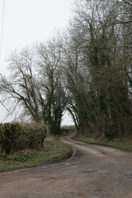
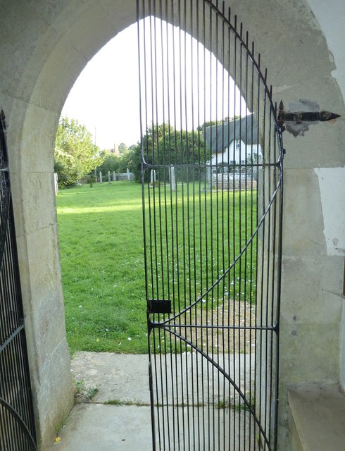
Old Park Wood is a dense forest located in the county of Dorset, England. Spanning approximately 100 acres, this wood is well-known for its rich biodiversity and picturesque landscapes. The forest is situated near the small village of Old Park, and is easily accessible by foot or bicycle.
The wood comprises a mixture of deciduous and evergreen trees, including oak, beech, and pine, creating a diverse and vibrant ecosystem. Its dense canopy provides a haven for various bird species, such as woodpeckers, tits, and thrushes, as well as numerous small mammals like squirrels and rabbits.
Visitors to Old Park Wood are greeted with a network of well-maintained walking trails that wind through the forest, offering stunning views of the surrounding countryside. These paths are suitable for individuals of all ages and fitness levels, making it a popular destination for families and nature enthusiasts alike.
The wood also features a designated picnic area, allowing visitors to relax and enjoy the serene atmosphere. With its peaceful surroundings and tranquil ambiance, Old Park Wood provides an ideal escape from the hustle and bustle of daily life.
Conservation efforts are in place to protect the natural beauty of the wood, ensuring that it remains a haven for wildlife and a cherished destination for generations to come.
If you have any feedback on the listing, please let us know in the comments section below.
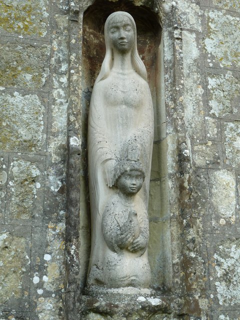
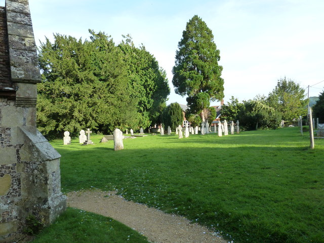
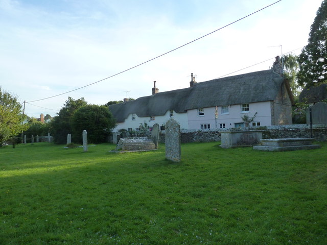
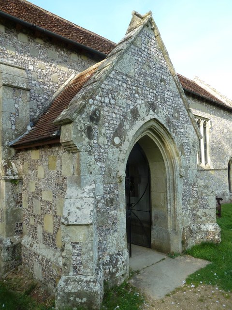
Old Park Wood Images
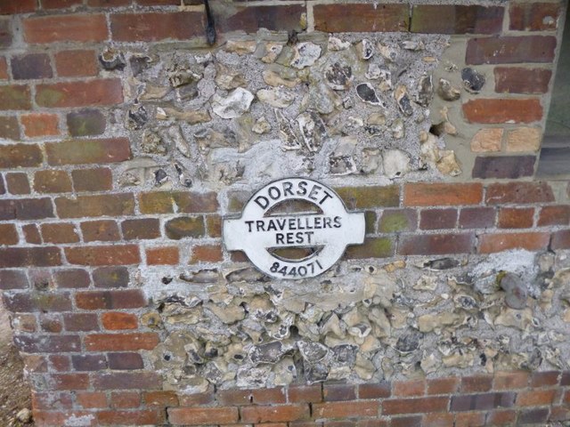
Images are sourced within 2km of 50.858396/-2.2007725 or Grid Reference ST8506. Thanks to Geograph Open Source API. All images are credited.
Old Park Wood is located at Grid Ref: ST8506 (Lat: 50.858396, Lng: -2.2007725)
Unitary Authority: Dorset
Police Authority: Dorset
What 3 Words
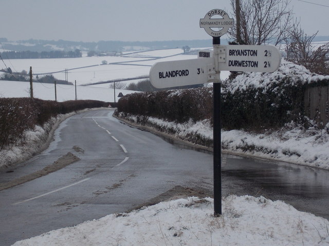
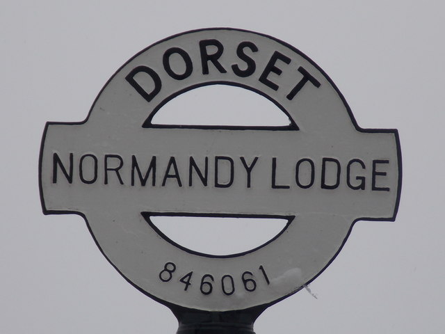
///wrist.tribune.wider. Near Blandford Forum, Dorset
Nearby Locations
Related Wikis
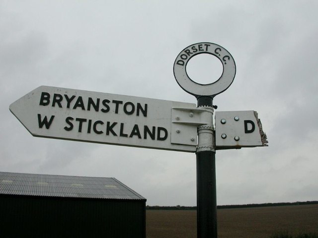
Bryanston
Bryanston is a village and civil parish in north Dorset, England, situated on the River Stour 1 mile (1.5 kilometres) west of Blandford Forum. In the...

The Coade Hall
The Coade Hall is a brick-built theatre and concert hall at Bryanston School, near Blandford Forum in Dorset, England. == History == It was opened on...

Bryanston School
Bryanston School is a public school (English private boarding and day school for pupils aged 13–18) located next to the village of Bryanston, and near...

Durweston
Durweston ( dər-WES-tən) is a village and civil parish in the English county of Dorset. It lies two miles (three kilometres) northwest of the town of Blandford...

The Blandford School
The Blandford School is a coeducational secondary school located in Blandford Forum in the English county of Dorset.It is a voluntary controlled school...

Blandford Forum
Blandford Forum ( BLAN-fərd) is a market town in Dorset, England, by the River Stour 13 miles (21 kilometres) northwest of Poole. It had a population of...

Blandford Forum Town Hall
Blandford Forum Town Hall is a municipal building in the Market Place in Blandford Forum, Dorset, England. The 18th-century structure, which was the meeting...

Stourpaine and Durweston railway station
Stourpaine & Durweston Halt was a railway station in the English county of Dorset. It was located between Shillingstone and Blandford Forum on the Somerset...
Nearby Amenities
Located within 500m of 50.858396,-2.2007725Have you been to Old Park Wood?
Leave your review of Old Park Wood below (or comments, questions and feedback).