The Bushes

Wood, Forest in Dorset

England

The Bushes

Daffodils by the A357 on south of Durweston
Daffodils by the A357 on south of Durweston Credit: David Smith

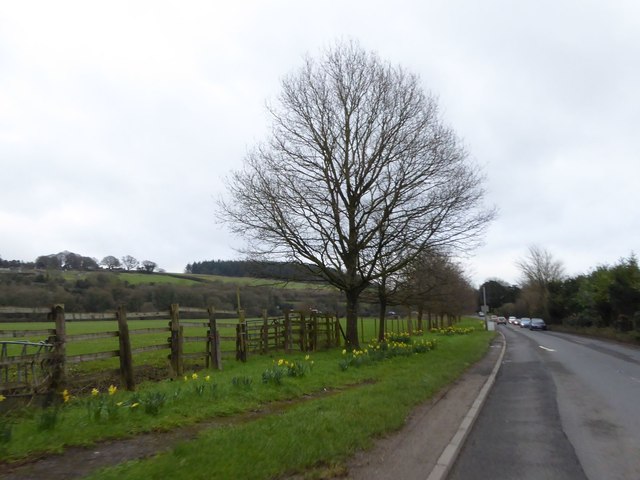
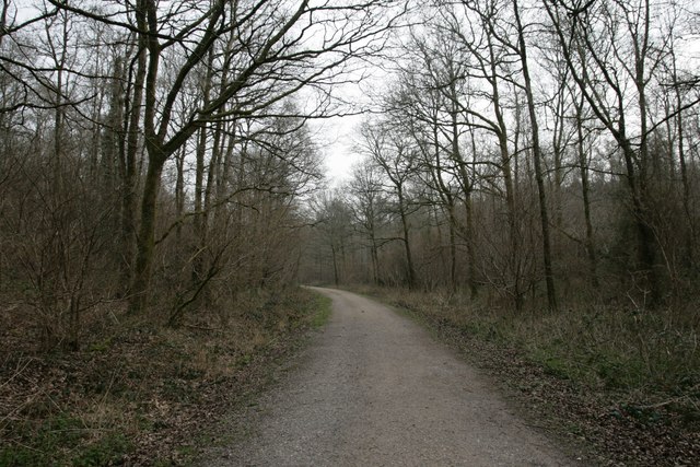
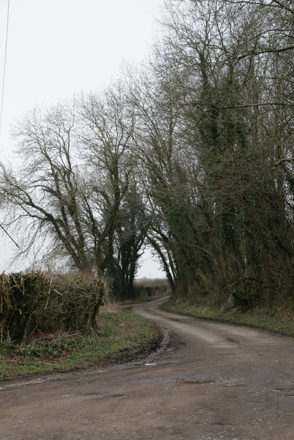
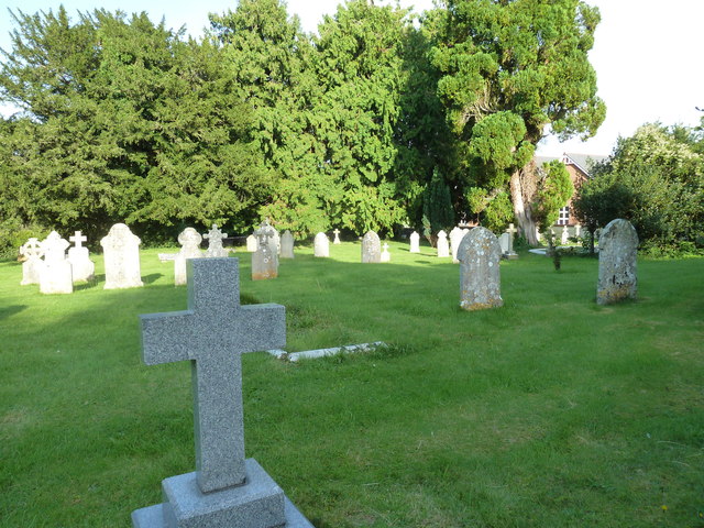
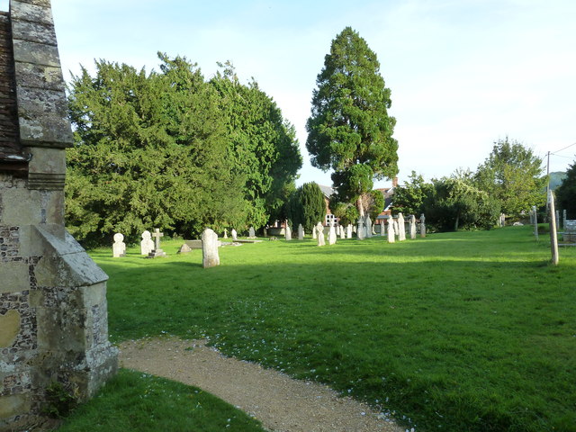
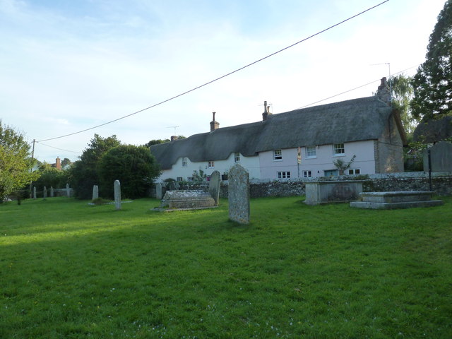
The Bushes is a picturesque woodland located in Dorset, a county in the southwest of England. Nestled within the heart of the county, this enchanting forest is a haven for nature lovers and outdoor enthusiasts alike. Covering an area of approximately 50 acres, The Bushes offers visitors a tranquil escape from the hustle and bustle of everyday life.

The woodland is primarily composed of a mix of deciduous and coniferous trees, creating a diverse and vibrant ecosystem. Towering oak trees provide a majestic canopy, while the scent of pine fills the air. The forest floor is carpeted with a rich tapestry of mosses, ferns, and wildflowers, adding a splash of color to the lush greenery.

Nature trails wind their way through the woodland, offering visitors the opportunity to explore the natural beauty of The Bushes. As they stroll along the well-maintained paths, visitors may come across a variety of wildlife, including deer, rabbits, and a wide array of bird species. The tranquil atmosphere and abundance of wildlife make The Bushes a popular spot for birdwatching and nature photography.

For those seeking a peaceful retreat, The Bushes provides several picnic areas where visitors can relax and enjoy the serenity of their surroundings. The gentle babbling of a nearby stream adds to the ambiance, creating a soothing soundtrack to complement the natural beauty.

Overall, The Bushes in Dorset is a charming woodland that offers visitors a chance to immerse themselves in nature. With its diverse flora and fauna, well-maintained trails, and peaceful atmosphere, it is a place where one can reconnect with the natural world and find solace in its tranquility.

If you have any feedback on the listing, please let us know in the comments section below.

The Bushes Images

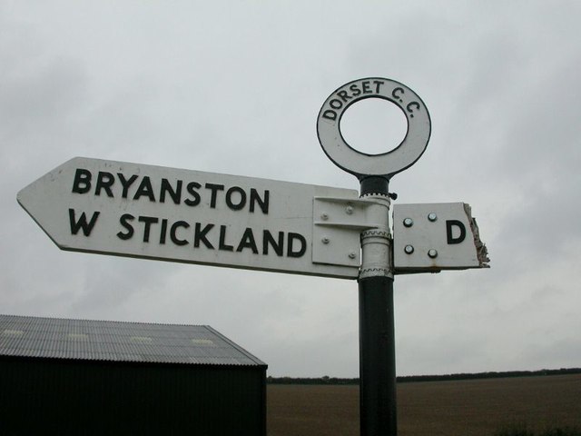
Images are sourced within 2km of 50.860355/-2.2067626 or Grid Reference ST8506. Thanks to Geograph Open Source API. All images are credited.

Daffodils by the A357 on south of Durweston
Jubilee Trail through Field Grove
Field Grove House
Field Grove House
New Road near Winterborne Stickland
A357 entering Durweston
Winterborne Stickland: downhill from Normandy Lodge Looking down the road which has come from Bryanston and Blandford, as it heads down into the village of Winterborne Stickland.

The finger-post has in recent years been fitted with a traditional style Dorset roundel giving location and grid reference. See <a href="https://www.geograph.org.uk/photo/5710890">ST8406 : Winterborne Stickland: detail of Normandy Lodge finger-post</a> for a close-up.
Winterborne Stickland: downhill from Normandy Lodge
Looking down the road which has come from Bryanston and Blandford, as it heads down into the village of Winterborne Stickland. The finger-post has in recent years been fitted with a traditional style Dorset roundel giving location and grid reference. See ST8406 : Winterborne Stickland: detail of Normandy Lodge finger-post for a close-up.
Winterborne Stickland: detail of Normandy Lodge finger-post A closer look at the traditional Dorset roundel on the signpost at this junction between Winterborne Stickland and Blandford. The six digits at the bottom are the grid reference.


See <a href="https://www.geograph.org.uk/photo/5710885">ST8406 : Winterborne Stickland: downhill from Normandy Lodge</a> for the wider view.
Winterborne Stickland: detail of Normandy Lodge finger-post
A closer look at the traditional Dorset roundel on the signpost at this junction between Winterborne Stickland and Blandford. The six digits at the bottom are the grid reference. See ST8406 : Winterborne Stickland: downhill from Normandy Lodge for the wider view.
Old Direction Sign - Signpost by the A357, Durweston Annulus & bar finial - 2 arms; Dorset halo with NGR by the A357, in parish of Durweston (North Dorset District), Durweston Cross, in village centre at crossroads with Water Lane, on verge.

Surveyed

Milestone Society National ID: DO_ST8508.
Old Direction Sign - Signpost by the A357, Durweston
Annulus & bar finial - 2 arms; Dorset halo with NGR by the A357, in parish of Durweston (North Dorset District), Durweston Cross, in village centre at crossroads with Water Lane, on verge. Surveyed Milestone Society National ID: DO_ST8508.
Old Direction Sign - Signpost by Milton Lane, Traveller's Rest, Durweston parish Annulus finial - 2 arms; Dorset halo without NGR by the UC road, in parish of Durweston (North Dorset District), Traveller's Rest, on verge North of farm at Milton Lane junction with farm track, Norton Lane.

Surveyed

Milestone Society National ID: DO_ST8407A
Old Direction Sign - Signpost by Milton Lane, Traveller's Rest, Durweston parish
Annulus finial - 2 arms; Dorset halo without NGR by the UC road, in parish of Durweston (North Dorset District), Traveller's Rest, on verge North of farm at Milton Lane junction with farm track, Norton Lane. Surveyed Milestone Society National ID: DO_ST8407A
Old Direction Sign - Signpost by Traveller's Rest, Milton Lane, Durweston parish Finial only - no arms; Dorset halo with NGR by the UC road, in parish of Durweston (North Dorset District), Traveller's Rest, Milton Lane, attached to wall of long barn facing road.

Surveyed

Milestone Society National ID: DO_ST8407B
Old Direction Sign - Signpost by Traveller's Rest, Milton Lane, Durweston parish
Finial only - no arms; Dorset halo with NGR by the UC road, in parish of Durweston (North Dorset District), Traveller's Rest, Milton Lane, attached to wall of long barn facing road. Surveyed Milestone Society National ID: DO_ST8407B
Durweston War Memorial Many war memorials appeared in British towns and cities after the South African War of 1899-1902 (known popularly as the Boer War), but most were constructed after the First World War, known to contemporaries as the Great War (1914-19). These were updated after the Second World War (1939-45), usually by adding a plaque with the names of those killed in that conflict. Almost every town and village in Britain has a memorial erected after the Great War, the commonest types taking the form of a cross, an obelisk or a statue of a soldier. Some occupy a prominent public space; others stand in the local cemetery or can be found inside the local church. Memorials usually commemorate the inhabitants of a particular locality, the former pupils of a school, or the members of a military unit or branch of the armed forces. Other memorials, often bronze plaques placed indoors, commemorate the employees of a private company or public institution.
Durweston War Memorial
Many war memorials appeared in British towns and cities after the South African War of 1899-1902 (known popularly as the Boer War), but most were constructed after the First World War, known to contemporaries as the Great War (1914-19). These were updated after the Second World War (1939-45), usually by adding a plaque with the names of those killed in that conflict. Almost every town and village in Britain has a memorial erected after the Great War, the commonest types taking the form of a cross, an obelisk or a statue of a soldier. Some occupy a prominent public space; others stand in the local cemetery or can be found inside the local church. Memorials usually commemorate the inhabitants of a particular locality, the former pupils of a school, or the members of a military unit or branch of the armed forces. Other memorials, often bronze plaques placed indoors, commemorate the employees of a private company or public institution.
Dreamy days in Dorset 83: Durweston St Nicholas has an ashlar tower, flint church and stone blocks.
Dreamy days in Dorset 83: Durweston
St Nicholas has an ashlar tower, flint church and stone blocks.
St. Nicholas, Durweston: churchyard (1)
St. Nicholas, Durweston: churchyard (2)
St. Nicholas, Durweston: churchyard (3)
St. Nicholas, Durweston: Madonna & Child
St. Nicholas, Durweston: churchyard (4)
St. Nicholas, Durweston: churchyard (5)
Show me another place!

The Bushes is located at Grid Ref: ST8506 (Lat: 50.860355, Lng: -2.2067626)

Unitary Authority: Dorset

Police Authority: Dorset

What 3 Words

///brew.takeover.soups. Near Blandford Forum, Dorset

Related Wikis

The Coade Hall

The Coade Hall is a brick-built theatre and concert hall at Bryanston School, near Blandford Forum in Dorset, England. == History == It was opened on...

Bryanston School

Bryanston School is a public school (English private boarding and day school for pupils aged 13–18) located next to the village of Bryanston, and near...
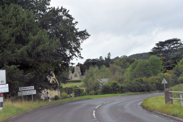
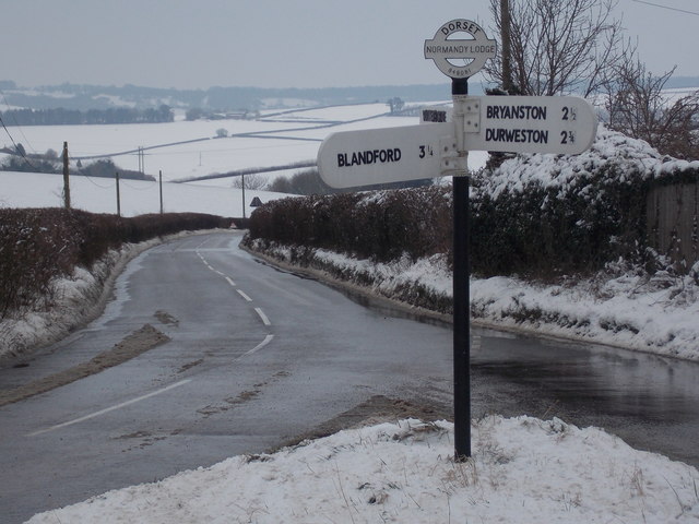
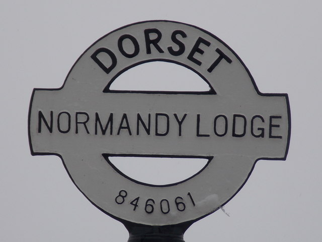
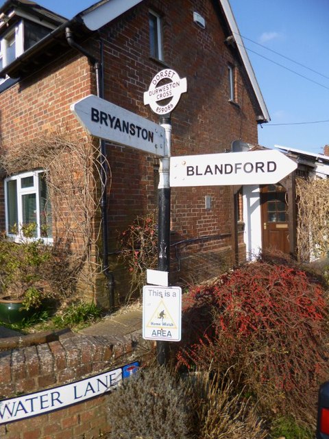
Durweston

Durweston ( dər-WES-tən) is a village and civil parish in the English county of Dorset. It lies two miles (three kilometres) northwest of the town of Blandford...

Bryanston

Bryanston is a village and civil parish in north Dorset, England, situated on the River Stour 1 mile (1.5 kilometres) west of Blandford Forum. In the...

Blandford Forest

Blandford Forest is a scattered area of woodland centred to the northwest of the town of Blandford Forum in North Dorset, England. == Location == According...

Stourpaine and Durweston railway station

Stourpaine & Durweston Halt was a railway station in the English county of Dorset. It was located between Shillingstone and Blandford Forum on the Somerset...

The Blandford School

The Blandford School is a coeducational secondary school located in Blandford Forum in the English county of Dorset.It is a voluntary controlled school...

Stourpaine

Stourpaine () is a village and civil parish in the ceremonial county of Dorset in southern England. It is situated in the valley of the River Stour in...

Nearby Amenities

Located within 500m of 50.860355,-2.2067626
Material: wood
Power: pole
Source: bing
Lat/Long: 50.8570145/-2.2110331
Material: wood
Power: pole
Source: bing
Lat/Long: 50.8573777/-2.2106527
The data included in this document is from www.openstreetmap.org. The data is made available under ODbL.

Have you been to The Bushes?

Leave your review of The Bushes below (or comments, questions and feedback).