Greystone Plantation
Wood, Forest in Yorkshire Pendle
England
Greystone Plantation

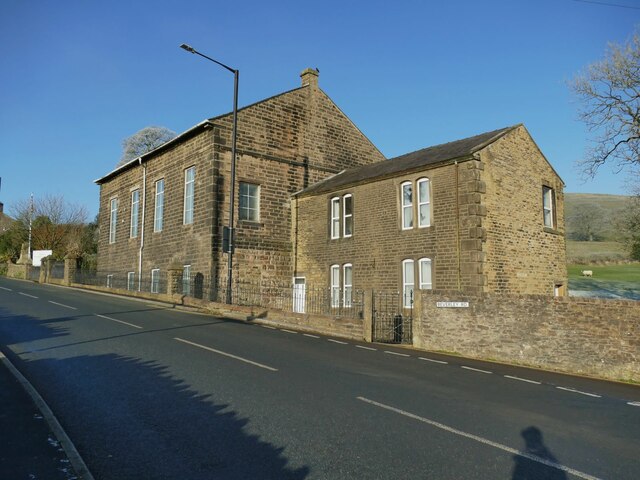
Greystone Plantation, located in Yorkshire, England, is a sprawling estate nestled amidst the rich woodlands and enchanting forests of the region. Renowned for its natural beauty and historical significance, the plantation spans over hundreds of acres, offering a captivating glimpse into the area's past.
The main feature of Greystone Plantation is its magnificent manor house, a splendid example of Georgian architecture. With its elegant facade, grandiose columns, and meticulously landscaped gardens, the house serves as a testament to the opulence and prestige of the estate's former owners. Inside, visitors can explore the lavishly decorated rooms, showcasing exquisite period furnishings and intricate artwork.
Surrounding the manor house are vast woodlands, which have been carefully preserved to maintain their natural splendor. These woodlands provide a haven for a diverse range of flora and fauna, making it a popular destination for nature enthusiasts and wildlife lovers. Visitors can embark on leisurely walks along the winding trails, immersing themselves in the serenity of the forest and admiring the picturesque scenery.
Greystone Plantation also holds historical significance, with records dating back several centuries. It has served as a residence for notable figures throughout history, and its walls hold stories of the past. The plantation offers guided tours, allowing visitors to delve into the rich tapestry of its history and learn about the lives and legacies of its former inhabitants.
In conclusion, Greystone Plantation in Yorkshire is a captivating destination that seamlessly blends natural beauty with historical charm. Whether exploring the grand manor house, strolling through the enchanting woodlands, or delving into its fascinating history, visitors are sure to be enthralled by the allure of this remarkable estate.
If you have any feedback on the listing, please let us know in the comments section below.
Greystone Plantation Images
Images are sourced within 2km of 53.887974/-2.2213783 or Grid Reference SD8543. Thanks to Geograph Open Source API. All images are credited.


Greystone Plantation is located at Grid Ref: SD8543 (Lat: 53.887974, Lng: -2.2213783)
Division: West Riding
Administrative County: Lancashire
District: Pendle
Police Authority: Lancashire
What 3 Words
///woods.prowl.older. Near Foulridge, Lancashire
Nearby Locations
Related Wikis

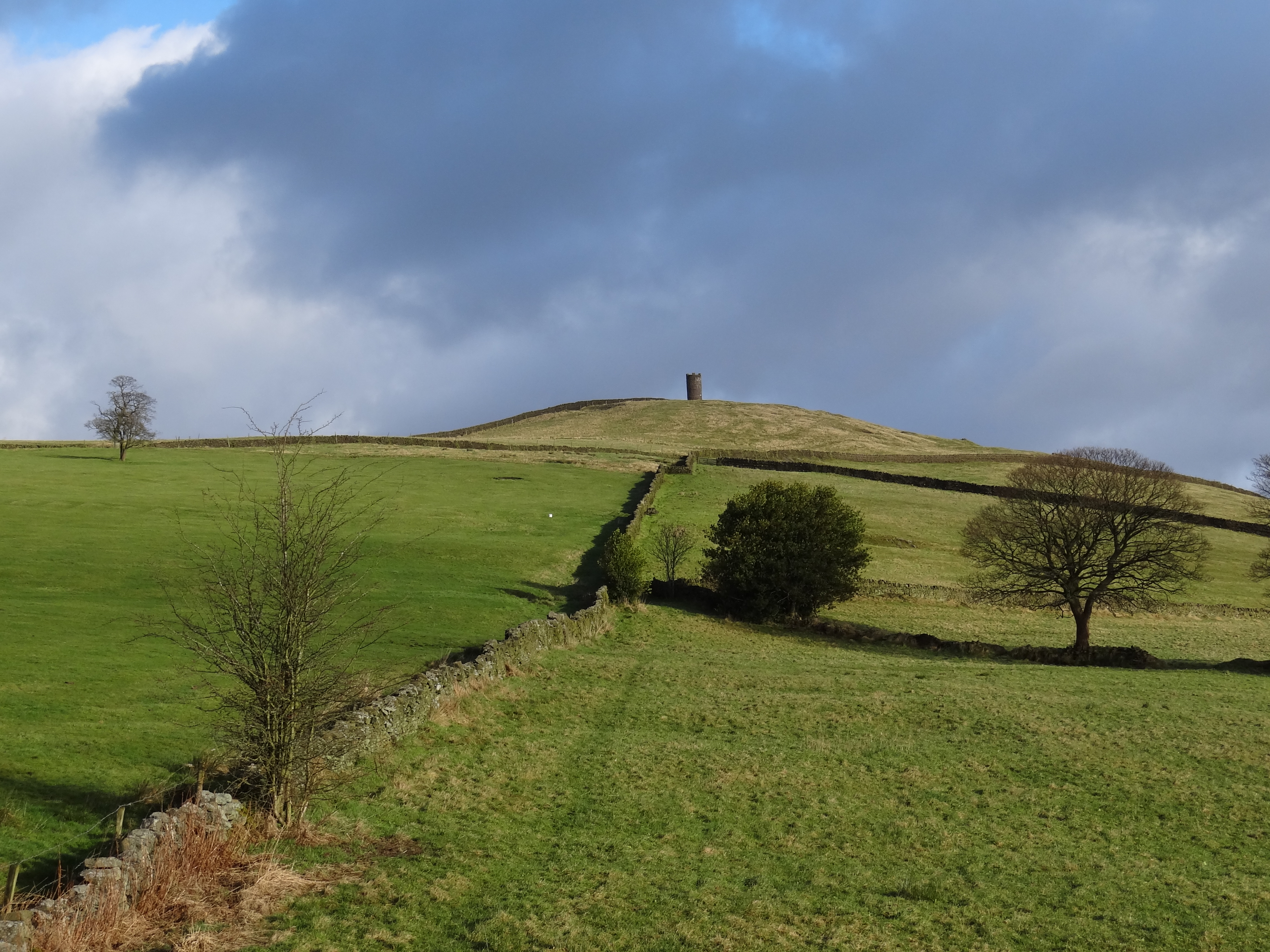
Weets Hill
Weets Hill is a hill in the West Craven area of Pendle, Lancashire, England. It is 2+1⁄2 miles (4.0 km) south-west of the town of Barnoldswick and is 4...
Blacko
Blacko is a village and civil parish in the Pendle district of Lancashire, England. Before local government reorganisation in 1974 the village lay on...

Middop
Middop is a rural hamlet and civil parish in Lancashire, England. It is in Ribble Valley district. Middop is near the villages of Rimington and Gisburn...
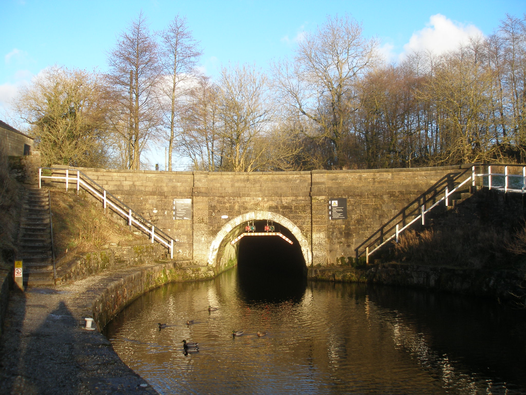
Foulridge Tunnel
The Foulridge Tunnel () is a canal tunnel on the Leeds and Liverpool Canal in Foulridge, Lancashire. Also known as the Mile Tunnel, Foulridge is 1,630...
Nearby Amenities
Located within 500m of 53.887974,-2.2213783Have you been to Greystone Plantation?
Leave your review of Greystone Plantation below (or comments, questions and feedback).