Shothole
Settlement in Dorset
England
Shothole
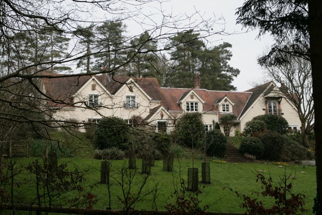
Shothole is a small village located in the county of Dorset, England. Situated in the heart of the picturesque countryside, this quaint community offers a peaceful and idyllic setting for its residents and visitors alike. With a population of around 500 people, Shothole maintains a tight-knit community atmosphere.
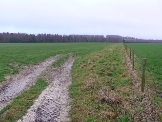
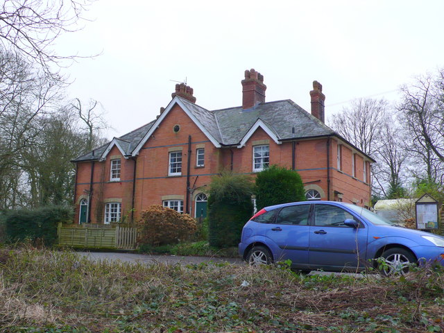
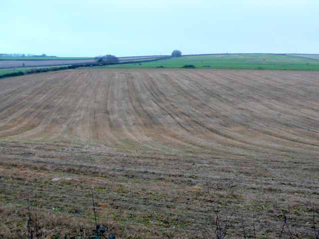
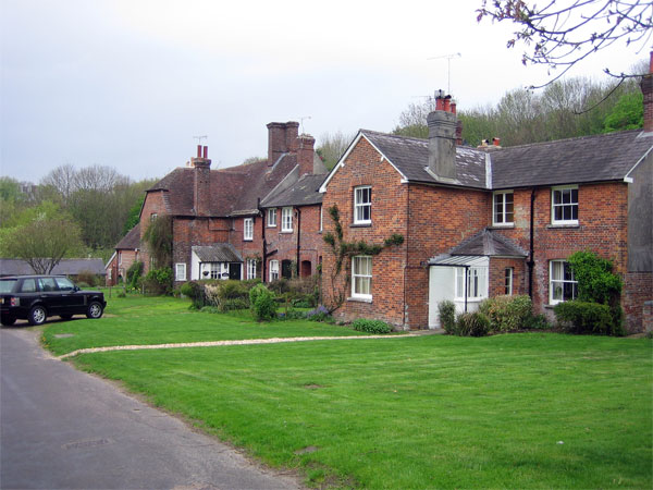
The village is characterized by its charming thatched cottages, which have been well-preserved over the years, giving the area a distinct traditional English feel. The local architecture perfectly complements the village's natural surroundings, which feature rolling hills, meadows, and nearby woodlands.
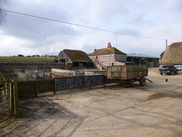
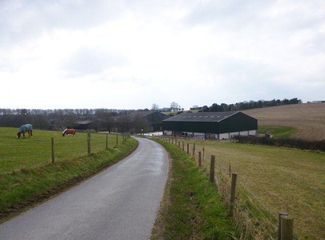
Despite its small size, Shothole offers a range of amenities to cater to its residents' needs. These include a village hall, a small grocery shop, and a local pub, which serves as a popular gathering spot for both locals and visitors. The village also boasts a primary school, ensuring that families have access to education within their immediate community.
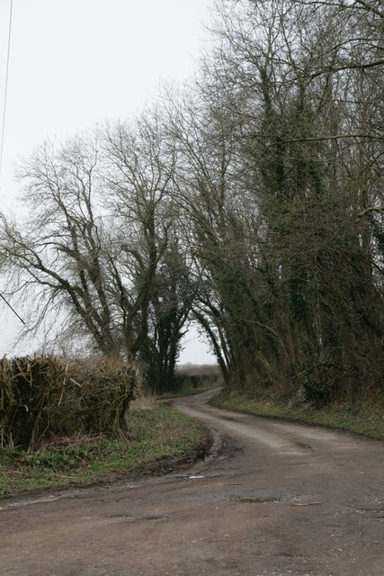
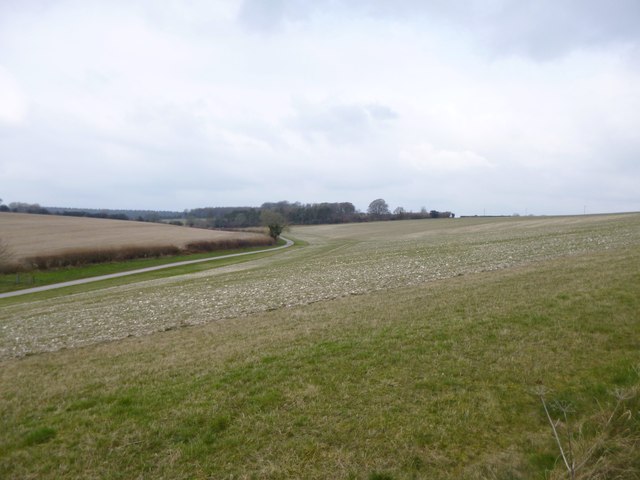
For outdoor enthusiasts, Shothole offers ample opportunities for exploration and leisure activities. The surrounding countryside provides numerous walking trails, perfect for enjoying the serene beauty of the area. Additionally, the nearby coastline offers stunning views and sandy beaches, making it an ideal destination for a day trip.
Overall, Shothole, Dorset, is a charming and tranquil village that offers a peaceful escape from the hustle and bustle of modern life. Its natural beauty, preserved architecture, and strong sense of community make it an attractive place to live or visit for those seeking a slower pace of life in a stunning rural setting.
If you have any feedback on the listing, please let us know in the comments section below.
Shothole Images
Images are sourced within 2km of 50.854515/-2.2041085 or Grid Reference ST8506. Thanks to Geograph Open Source API. All images are credited.
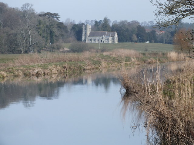
![Bryanston: St Martin's Church View southward of the Church for Bryanston School - [where I attended as a pupil, 1940-44].](https://s2.geograph.org.uk/geophotos/03/29/21/3292134_865d6fef.jpg)
Shothole is located at Grid Ref: ST8506 (Lat: 50.854515, Lng: -2.2041085)
Unitary Authority: Dorset
Police Authority: Dorset
What 3 Words
///guests.cuddled.clotting. Near Blandford Forum, Dorset
Nearby Locations
Related Wikis
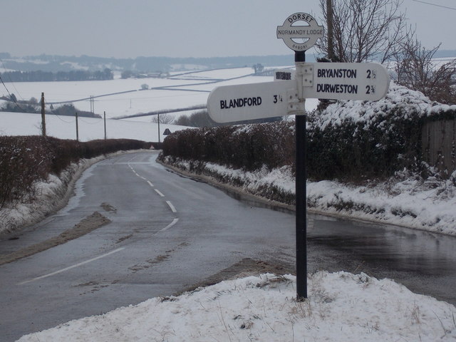
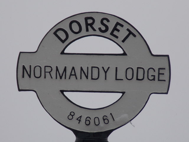
Bryanston
Bryanston is a village and civil parish in north Dorset, England, situated on the River Stour 1 mile (1.5 kilometres) west of Blandford Forum. In the...

The Coade Hall
The Coade Hall is a brick-built theatre and concert hall at Bryanston School, near Blandford Forum in Dorset, England. == History == It was opened on 27...

Bryanston School
Bryanston School is a public school (English private boarding and day school for pupils aged 13–18) located next to the village of Bryanston, and near...

Durweston
Durweston ( dər-WES-tən) is a village and civil parish in the English county of Dorset. It lies two miles (three kilometres) northwest of the town of Blandford...
Nearby Amenities
Located within 500m of 50.854515,-2.2041085Have you been to Shothole?
Leave your review of Shothole below (or comments, questions and feedback).