Crake Moor Covert
Wood, Forest in Yorkshire Craven
England
Crake Moor Covert
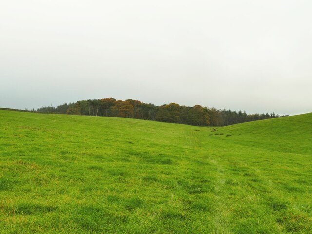
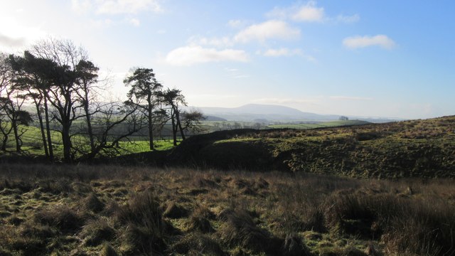
Crake Moor Covert is a picturesque woodland located in the county of Yorkshire, England. Spanning across an area of approximately 100 acres, this enchanting forest is a haven for nature enthusiasts and provides a tranquil escape from the hustle and bustle of city life.
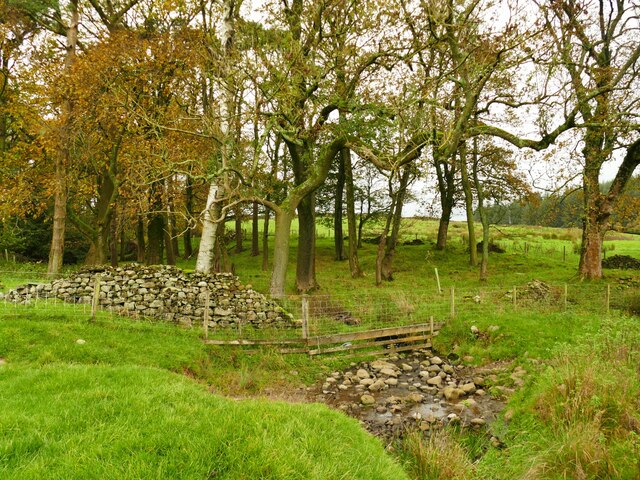
The woodland is characterized by its dense canopy of towering oak trees, interspersed with patches of vibrant wildflowers and ferns that carpet the forest floor. The diverse ecosystem within Crake Moor Covert supports a wide range of flora and fauna, making it a biodiverse habitat. Visitors can expect to encounter various species of birds, including woodpeckers and owls, as well as small mammals such as squirrels and foxes.
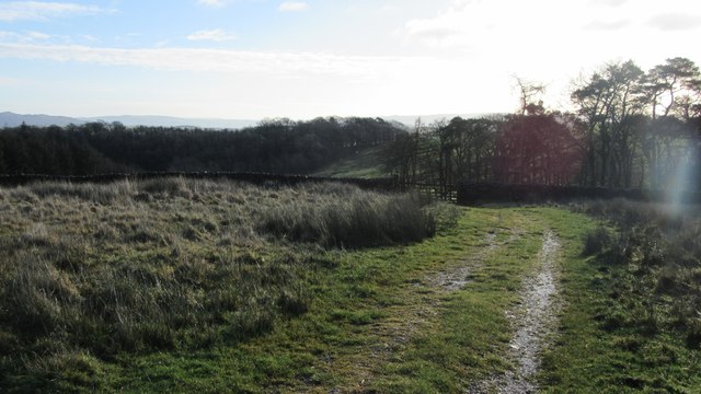
Several well-maintained walking trails crisscross the forest, allowing visitors to explore its natural beauty at their own pace. The trails wind through the woodland, leading to hidden clearings and secluded spots perfect for picnics or simply immersing oneself in the peaceful surroundings. Additionally, there are designated areas for camping and barbecues, making Crake Moor Covert an ideal destination for outdoor enthusiasts and families alike.
The woodland also holds historical significance, with remnants of ancient settlements and prehistoric artifacts found within its borders. Archaeological excavations have revealed evidence of human habitation dating back several centuries, adding a layer of intrigue to the already captivating landscape.
Overall, Crake Moor Covert in Yorkshire is a cherished natural gem, offering visitors a chance to reconnect with nature while providing a glimpse into the region's rich history.
If you have any feedback on the listing, please let us know in the comments section below.
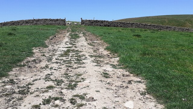
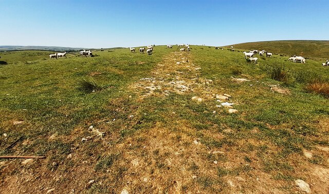
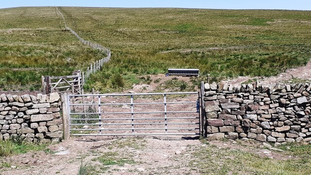
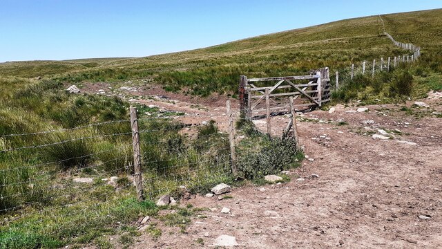
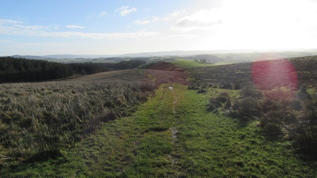
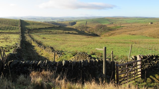
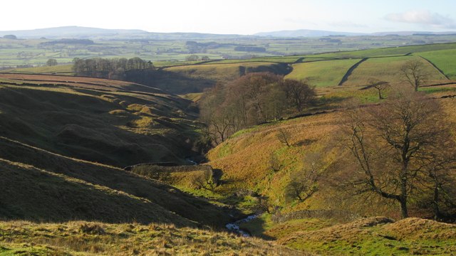
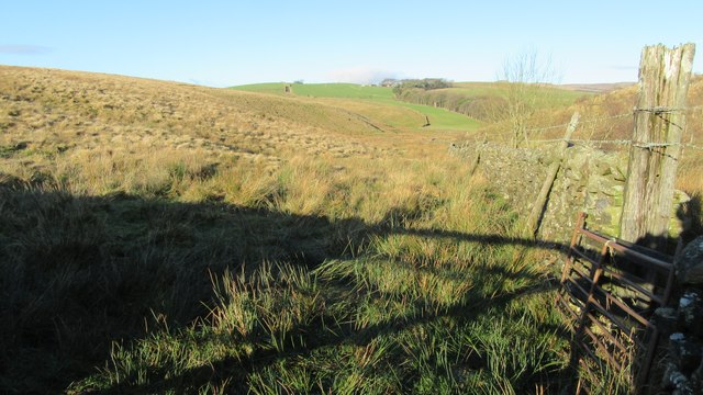
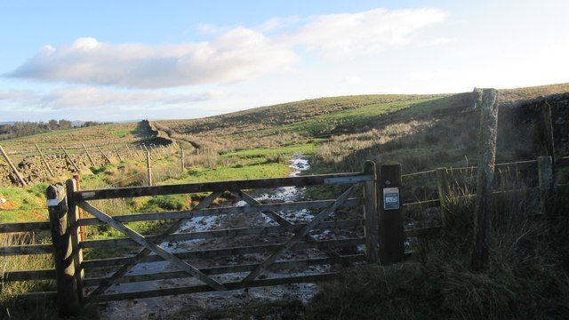
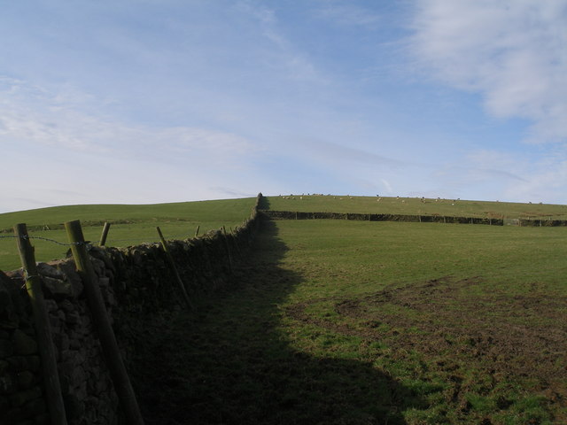
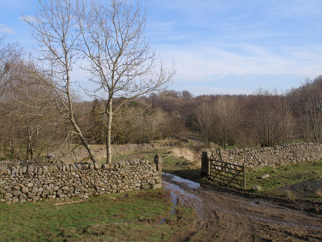
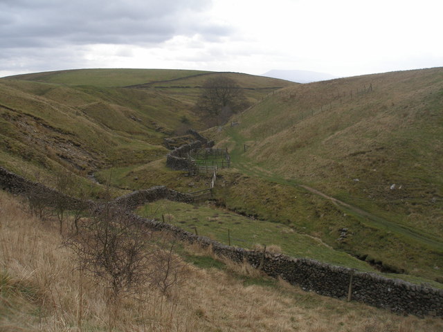
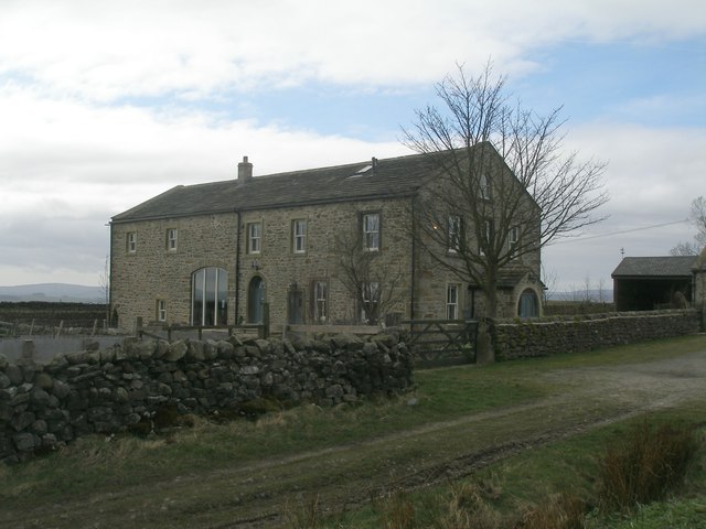
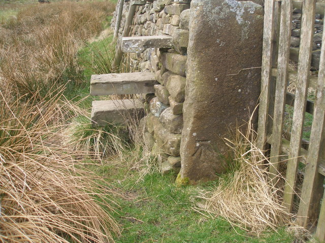
Crake Moor Covert Images
Images are sourced within 2km of 54.034817/-2.2157614 or Grid Reference SD8559. Thanks to Geograph Open Source API. All images are credited.
Crake Moor Covert is located at Grid Ref: SD8559 (Lat: 54.034817, Lng: -2.2157614)
Division: West Riding
Administrative County: North Yorkshire
District: Craven
Police Authority: North Yorkshire
What 3 Words
///pose.nitrogen.quote. Near Hellifield, North Yorkshire
Nearby Locations
Related Wikis

Hellifield engine shed
Hellifield Engine Shed was a railway locomotive depot adjacent to Hellifield railway station in North Yorkshire, England. The depot opened in 1880 and...
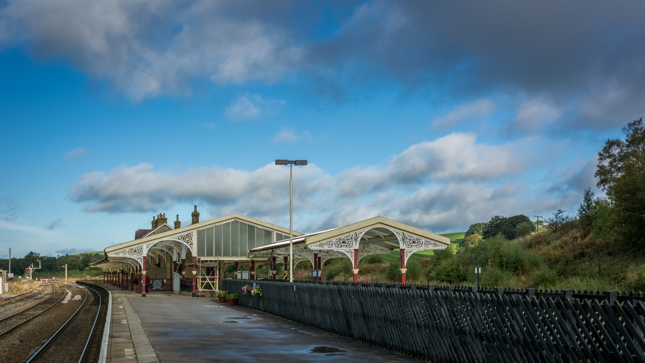
Hellifield railway station
Hellifield is a railway station on the Bentham Line, which runs between Leeds and Morecambe via Skipton. The station, situated 36 miles 17 chains (58.3...
Long Preston
Long Preston is a village and civil parish in the Craven district of North Yorkshire, England, in the Yorkshire Dales. It lies along the A65 road, and...

Otterburn, North Yorkshire
Otterburn (historically known as Otterburn-in-Craven) is a village and civil parish in the Craven district of North Yorkshire, England. It is at OS Grid...
Nearby Amenities
Located within 500m of 54.034817,-2.2157614Have you been to Crake Moor Covert?
Leave your review of Crake Moor Covert below (or comments, questions and feedback).