Hawes Wood
Wood, Forest in Westmorland South Lakeland
England
Hawes Wood
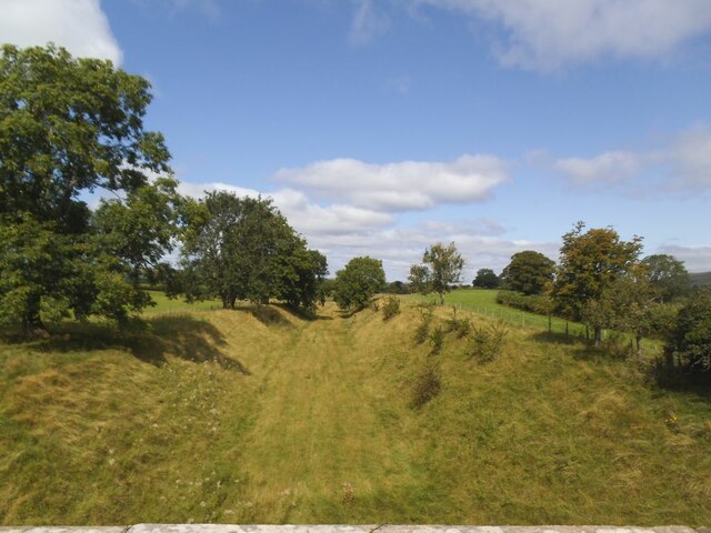
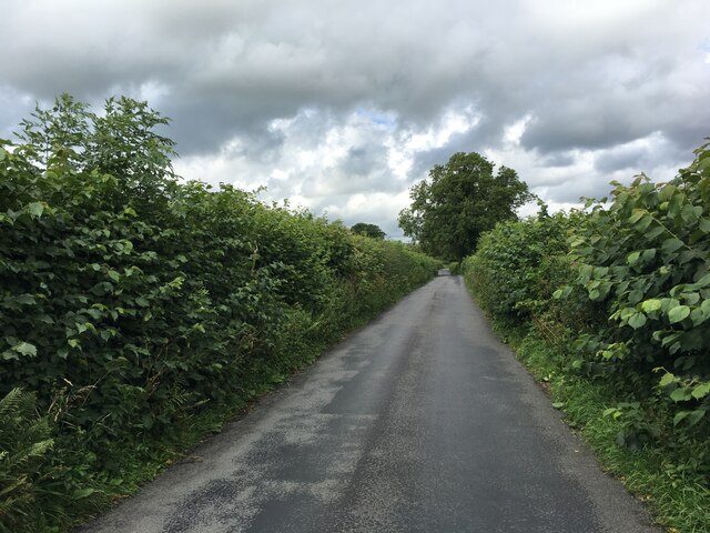
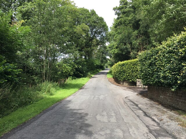
Hawes Wood is a picturesque forest located in Westmorland, a historic county in the northwestern region of England. Situated amidst the stunning landscape of the Lake District National Park, Hawes Wood is known for its natural beauty and rich biodiversity.
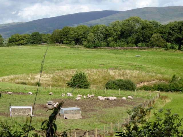
Covering an area of approximately 500 acres, the forest is predominantly composed of oak and beech trees, creating a dense canopy that provides shelter for a variety of wildlife. Rare and endangered species such as red squirrels, roe deer, and buzzards can often be spotted within the woodlands, making it an ideal destination for nature enthusiasts and wildlife photographers.
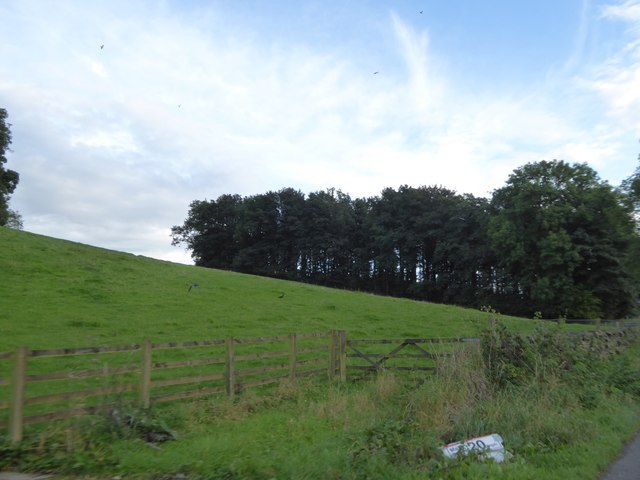
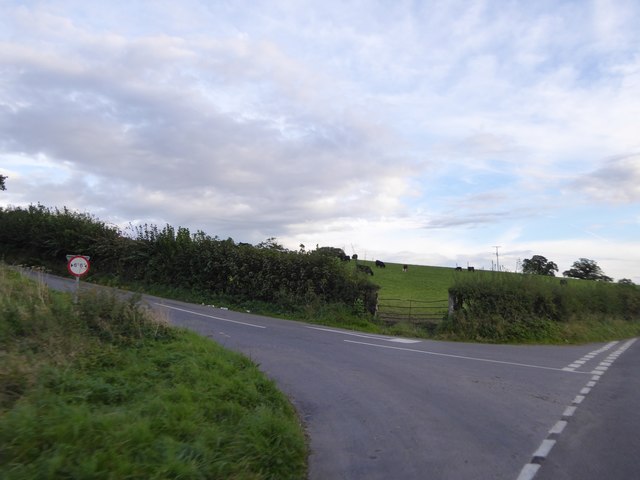
The forest is crisscrossed by a network of well-maintained walking trails, allowing visitors to explore the woodlands at their leisure. These trails offer breathtaking views of the surrounding countryside, with glimpses of rolling hills, meandering streams, and vibrant wildflowers.
Hawes Wood also holds historical significance, as it was used for timber production during the 18th and 19th centuries. The remnants of old saw pits and charcoal platforms can still be found, acting as reminders of the area's past industrial activity.
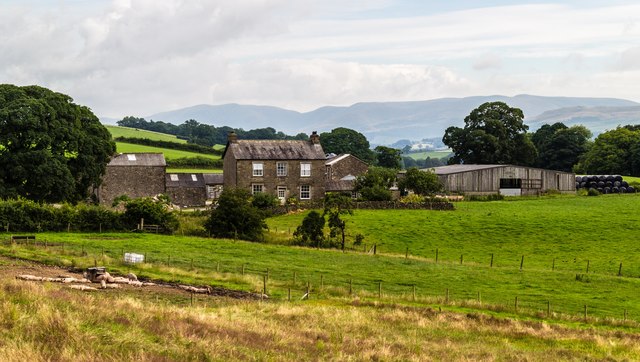
Today, the forest is managed by the local authorities, who strive to maintain its ecological balance while providing recreational opportunities for visitors. The woodlands are open to the public year-round, offering a peaceful and tranquil retreat for those seeking solace in nature.
In summary, Hawes Wood in Westmorland is a captivating forest that offers a unique blend of natural beauty, wildlife diversity, and historical charm. With its scenic trails and abundant wildlife, it continues to be a cherished destination for outdoor enthusiasts and nature lovers alike.
If you have any feedback on the listing, please let us know in the comments section below.
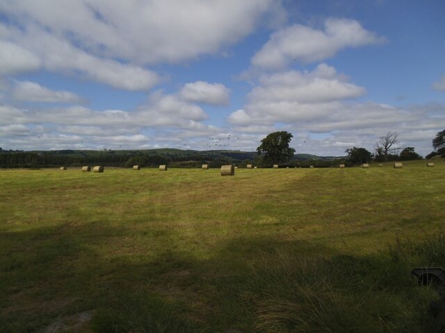
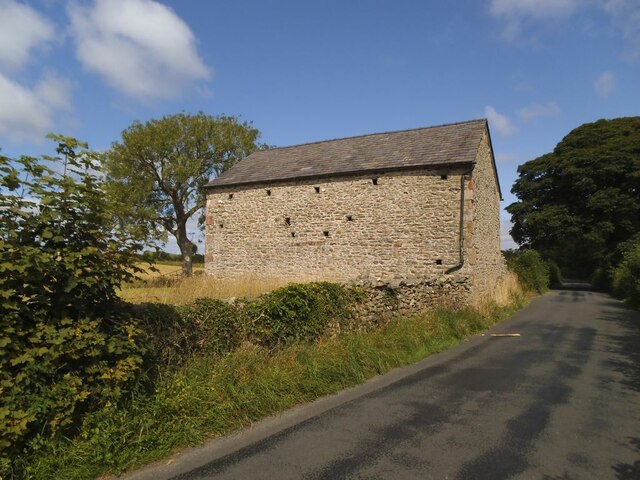
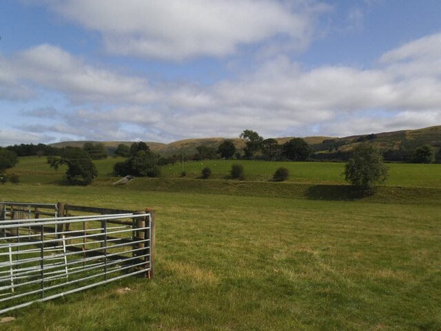
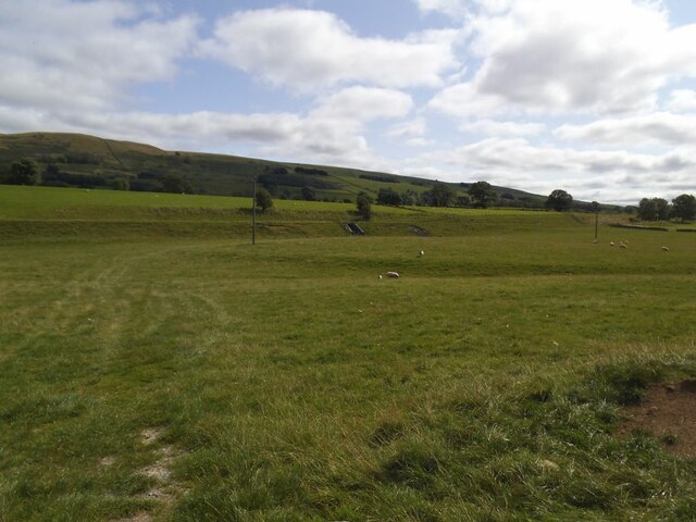
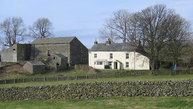
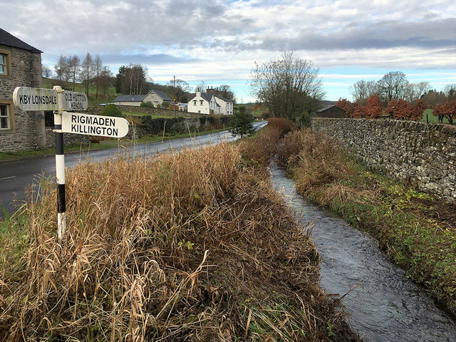
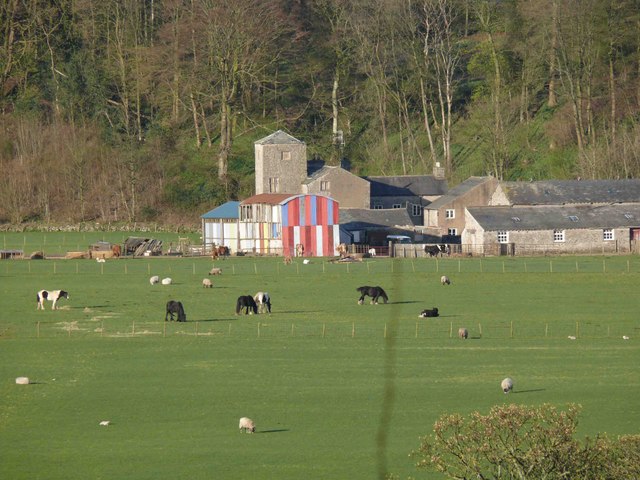
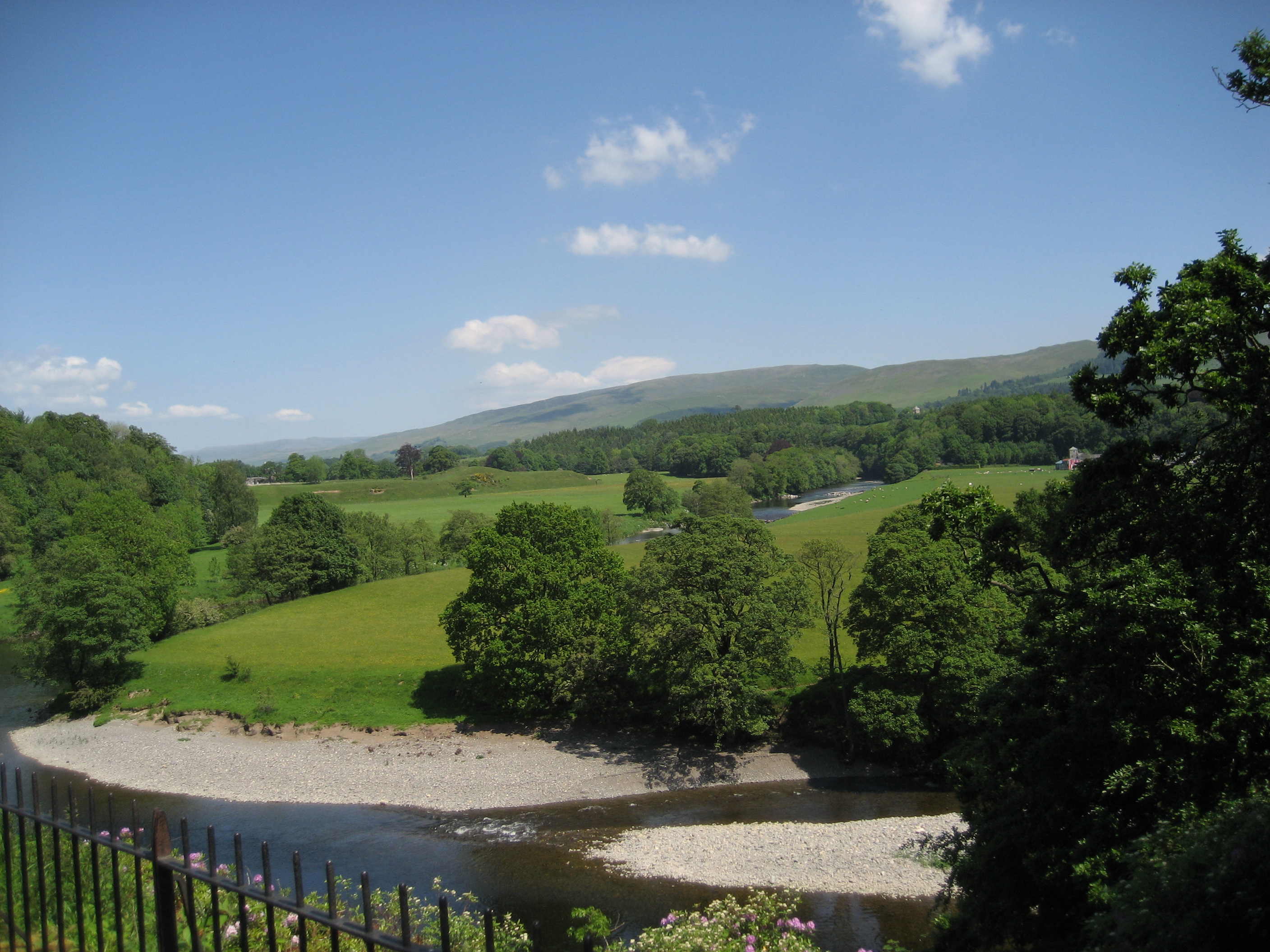
Hawes Wood Images
Images are sourced within 2km of 54.218113/-2.5938957 or Grid Reference SD6180. Thanks to Geograph Open Source API. All images are credited.
Hawes Wood is located at Grid Ref: SD6180 (Lat: 54.218113, Lng: -2.5938957)
Administrative County: Cumbria
District: South Lakeland
Police Authority: Cumbria
What 3 Words
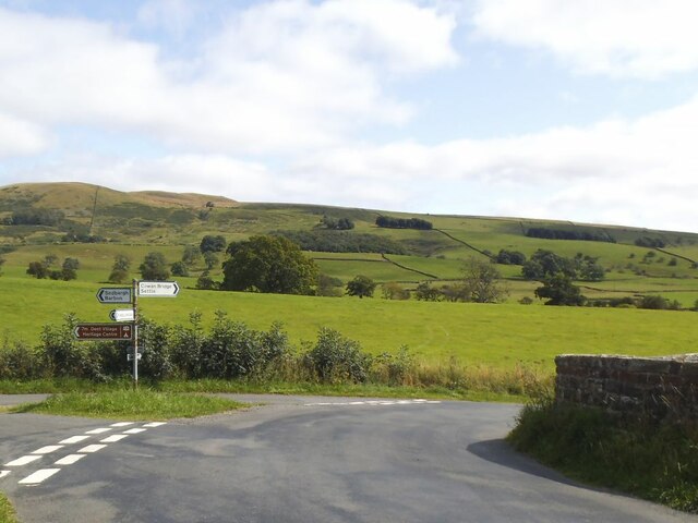
///fidgeting.dads.unloads. Near Kirkby Lonsdale, Cumbria
Nearby Locations
Related Wikis

Underley Hall
Underley Hall is a large country house near Kirkby Lonsdale in Cumbria. It was designed in a Jacobean Revival style by the architect George Webster for...

Holy Trinity Church, Casterton
Holy Trinity Church is in the village of Casterton, Cumbria, England. It is an active Anglican parish church in the deanery of Kendal, the archdeaconry...

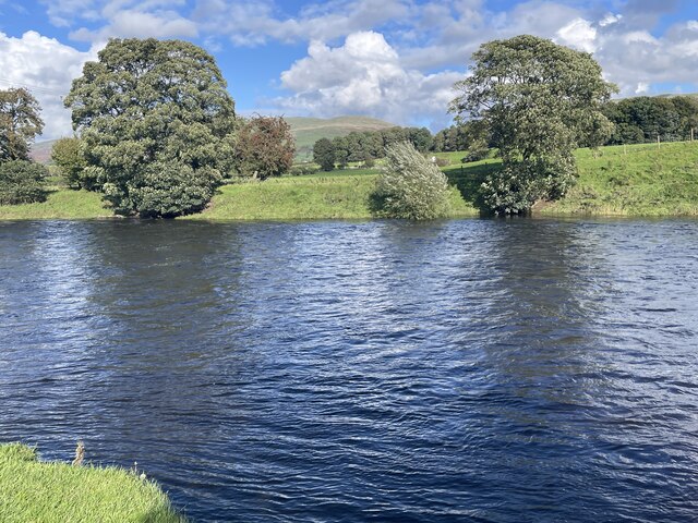
Barbon Beck
Barbon Beck is a small river in Barbondale, Cumbria. It is a tributary of the River Lune. Rising at Weather Ling Hill, where it is known as Barkin Beck...

Casterton School
Casterton School was an independent boarding and day school for girls aged 3 to 18 years in the village of Casterton in rural Cumbria. In its final years...
Casterton, Cumbria
Casterton is a small village and civil parish close to Kirkby Lonsdale on the River Lune in the south east corner of Cumbria, England. In the 2001 census...

St Mary's Church, Kirkby Lonsdale
St Mary's Church is in the town of Kirkby Lonsdale, Cumbria, England. It is an active Anglican parish church in the deanery of Kendal, the archdeaconry...

Barbon
Barbon is a village and civil parish in Westmorland and Furness, England. According to the 2001 census it had a population of 263, reducing to 236 at...
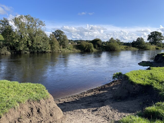
Kirkby Lonsdale
Kirkby Lonsdale () is a town and civil parish in the Westmorland and Furness district of Cumbria, England, on the River Lune. Historically in Westmorland...
Nearby Amenities
Located within 500m of 54.218113,-2.5938957Have you been to Hawes Wood?
Leave your review of Hawes Wood below (or comments, questions and feedback).