Alpha Wood

Wood, Forest in Westmorland South Lakeland

England

Alpha Wood

Hayfield in Barbondale A Roman road ran a little to the left of the large tree in the distance, and an early medieval settlement was just the other side of the road behind the camera <a href="https://www.geograph.org.uk/photo/2158331">SD6281 : Ancient settlement near Town End, Barbon</a>. What crop did ancient Romans and early English people grow on this  field?
Hayfield in Barbondale Credit: Stephen Craven

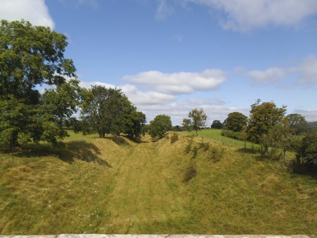
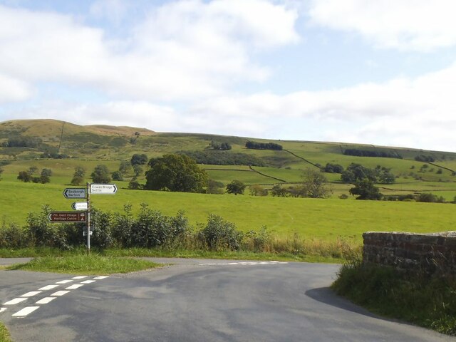
Alpha Wood is a stunning forest located in the Westmorland region of England. Stretching over a vast area of approximately 500 acres, this woodland is known for its rich biodiversity and breathtaking natural beauty. It is a popular destination for nature enthusiasts, hikers, and photographers alike.

The forest is primarily composed of various species of trees, with oak, beech, and ash being the most dominant. These towering trees provide a dense canopy that filters sunlight, creating a serene and cool atmosphere within the wood. The forest floor is covered in a thick layer of moss and ferns, creating a lush and vibrant undergrowth.

Alpha Wood is home to a wide variety of wildlife, making it a haven for nature lovers. Visitors may spot deer, foxes, and badgers roaming freely, while numerous bird species, such as woodpeckers and owls, can be heard chirping and hooting from above. The forest's tranquil environment also attracts several species of butterflies and insects, adding to its ecological significance.

The wood offers a network of well-maintained trails that wind through its enchanting landscape, allowing visitors to explore its hidden treasures at their own pace. These paths provide opportunities for leisurely walks, jogging, and cycling. Additionally, the forest has designated picnic areas and camping spots for those who wish to immerse themselves in the peaceful surroundings for an extended period.

Alpha Wood truly epitomizes the beauty of Westmorland's woodlands, offering visitors a chance to connect with nature and unwind in its serene ambiance. Whether one seeks a peaceful stroll or an immersive wildlife experience, this forest is sure to leave a lasting impression.

If you have any feedback on the listing, please let us know in the comments section below.
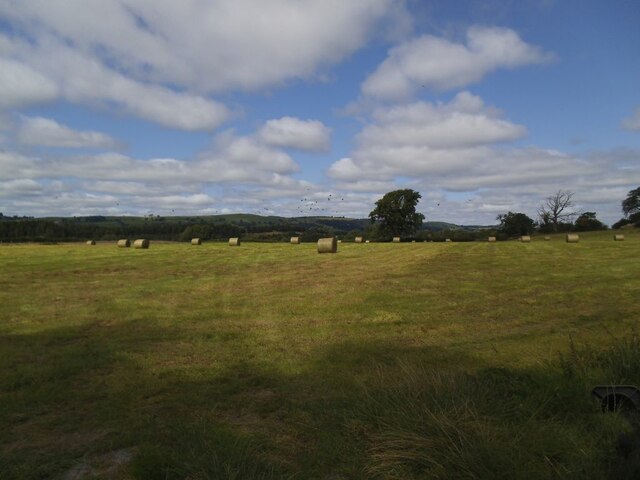
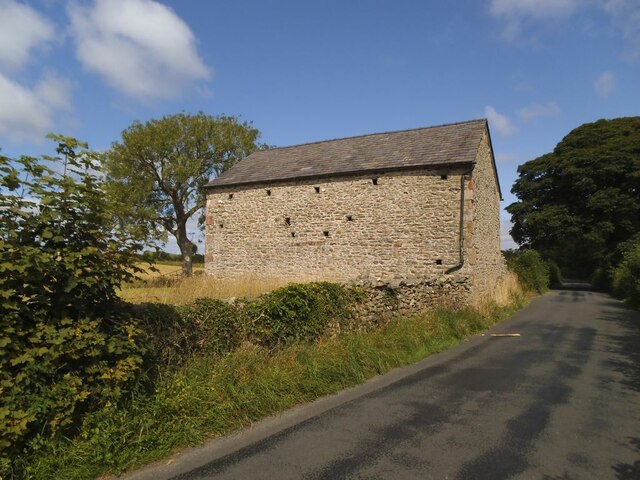
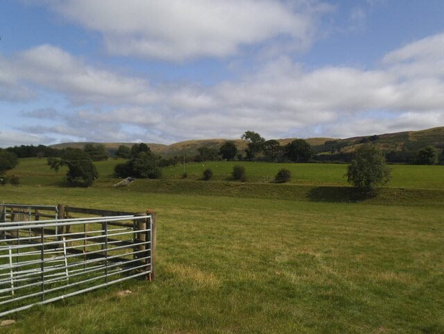
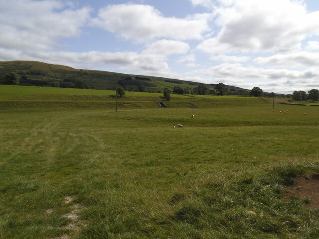
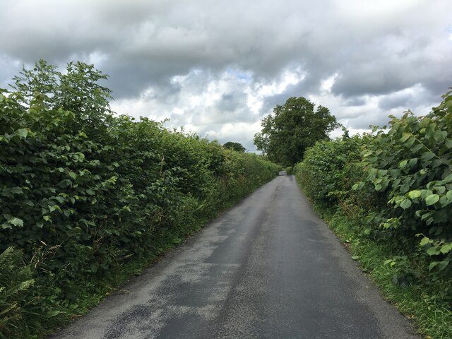
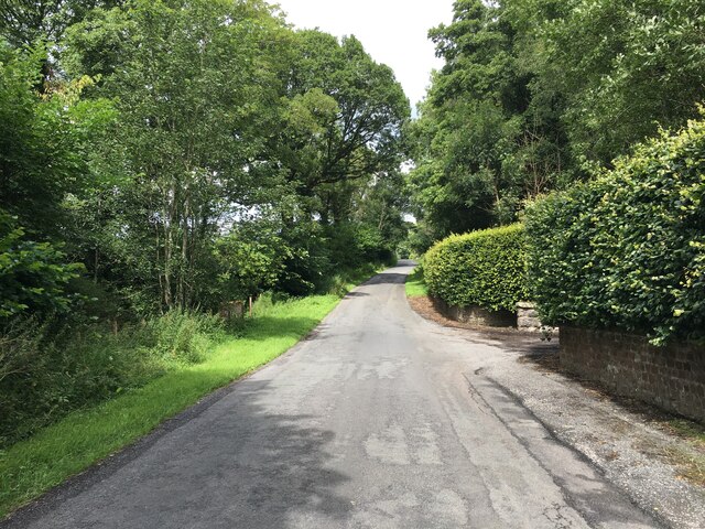
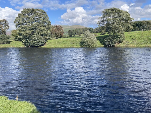
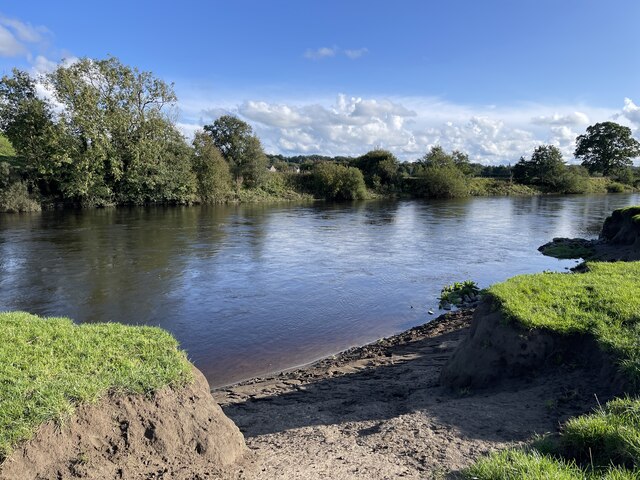
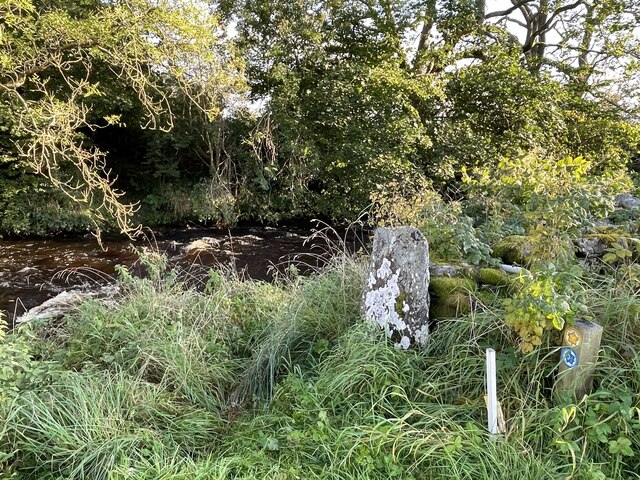
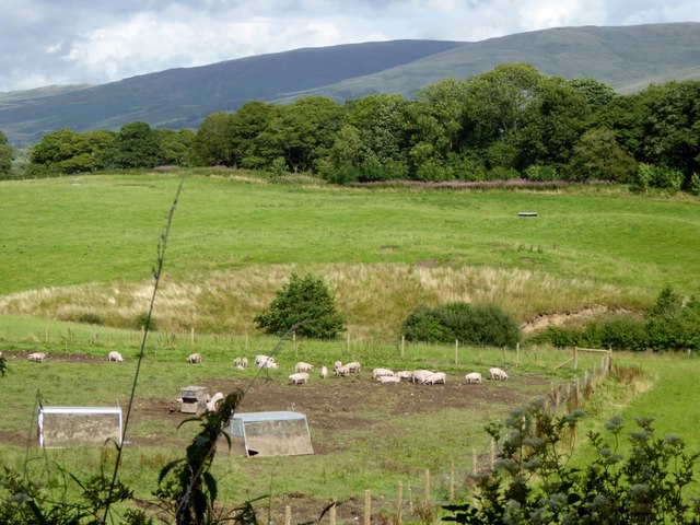
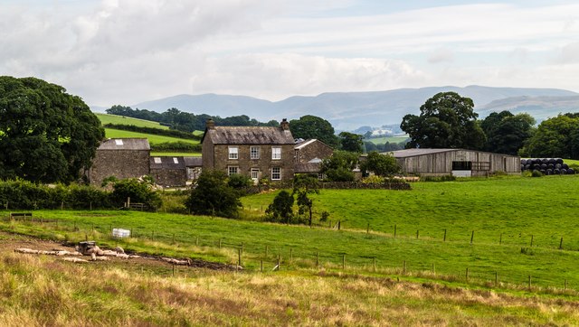
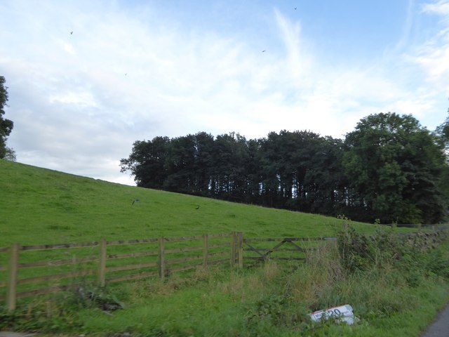
Alpha Wood Images

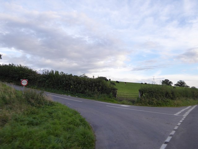
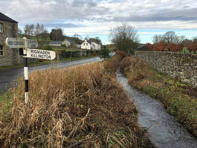
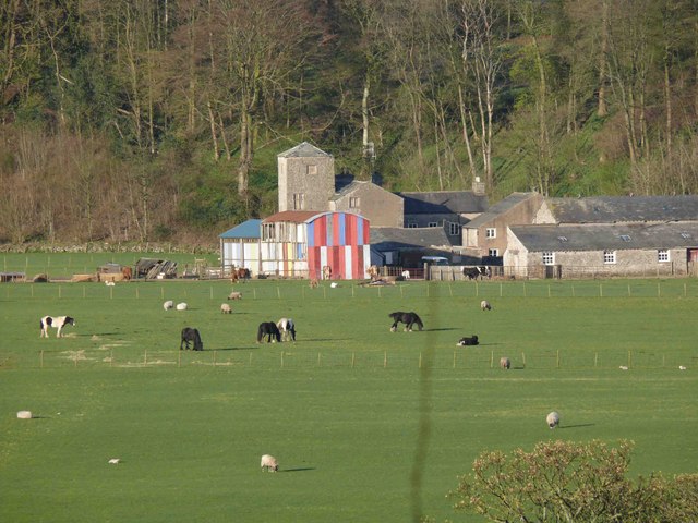
Images are sourced within 2km of 54.219947/-2.5975261 or Grid Reference SD6180. Thanks to Geograph Open Source API. All images are credited.

Hayfield in Barbondale A Roman road ran a little to the left of the large tree in the distance, and an early medieval settlement was just the other side of the road behind the camera <a href="https://www.geograph.org.uk/photo/2158331">SD6281 : Ancient settlement near Town End, Barbon</a>. What crop did ancient Romans and early English people grow on this  field?
Hayfield in Barbondale
A Roman road ran a little to the left of the large tree in the distance, and an early medieval settlement was just the other side of the road behind the camera SD6281 : Ancient settlement near Town End, Barbon. What crop did ancient Romans and early English people grow on this field?
Roadside laithe between Barbon and Casterton Kept in better condition than most, it even has a proper rainwater drainage system.
Roadside laithe between Barbon and Casterton
Kept in better condition than most, it even has a proper rainwater drainage system.
Disused railway embankment between Barbon and Casterton (1) The railway was the LMS route one between the 'Little North Western' line at Clapham and their main line to Scotland at Lowgill, via Ingleton. It last saw regular trains in 1954 and the track was lifted in 1967.
Disused railway embankment between Barbon and Casterton (1)
The railway was the LMS route one between the 'Little North Western' line at Clapham and their main line to Scotland at Lowgill, via Ingleton. It last saw regular trains in 1954 and the track was lifted in 1967.
Disused railway embankment between Barbon and Casterton (2) The railway was the LMS route one between the 'Little North Western' line at Clapham and their main line to Scotland at Lowgill, via Ingleton. It last saw regular trains in 1954 and the track was lifted in 1967. Note the underpass for farm traffic.
Disused railway embankment between Barbon and Casterton (2)
The railway was the LMS route one between the 'Little North Western' line at Clapham and their main line to Scotland at Lowgill, via Ingleton. It last saw regular trains in 1954 and the track was lifted in 1967. Note the underpass for farm traffic.
Disused railway cutting north of Greenber Lane The railway was the LMS route one between the 'Little North Western' line at Clapham and their main line to Scotland at Lowgill, via Ingleton. It last saw regular trains in 1954 and the track was lifted in 1967. Photo taken from the road bridge <a href="https://www.geograph.org.uk/photo/4523003">SD6280 : Casterton</a>.
Disused railway cutting north of Greenber Lane
The railway was the LMS route one between the 'Little North Western' line at Clapham and their main line to Scotland at Lowgill, via Ingleton. It last saw regular trains in 1954 and the track was lifted in 1967. Photo taken from the road bridge SD6280 : Casterton.
Signpost on Bents Lane Left to Barbon and Sedbergh, right to Sown Bridge and Settle.
Signpost on Bents Lane
Left to Barbon and Sedbergh, right to Sown Bridge and Settle.
Fish bench by the Lune
Prohibition sign by the Lune
Minor road towards Barbon
River Lune Ford This is another old impassable ford on the River Lune at Mansergh.
River Lune Ford
This is another old impassable ford on the River Lune at Mansergh.
River Lune Ford This is another old impassable ford on the River Lune near Nether Hall.
River Lune Ford
This is another old impassable ford on the River Lune near Nether Hall.
Ford on Barbon Beck This ford on the Barbon Beck is found beside Kirkby Lonsdale Golf Club.
Ford on Barbon Beck
This ford on the Barbon Beck is found beside Kirkby Lonsdale Golf Club.
Piggery at Mansergh Hall
Mansergh Hall Mansergh Hall Farm.
Mansergh Hall
Mansergh Hall Farm.
Field and patch of woodland south of Barbon One of several small patches of woodland beside the A683
Field and patch of woodland south of Barbon
One of several small patches of woodland beside the A683
Minor road junction north of Casterton
Small Stream at Kearstwick
Show me another place!

Alpha Wood is located at Grid Ref: SD6180 (Lat: 54.219947, Lng: -2.5975261)

Administrative County: Cumbria

District: South Lakeland

Police Authority: Cumbria

What 3 Words

///camcorder.endearing.scuba. Near Kirkby Lonsdale, Cumbria

Related Wikis

Nearby Amenities

Located within 500m of 54.219947,-2.5975261
Access Delivery: no
Barrier: cattle_grid
Lat/Long: 54.2210028/-2.6005348
Bench
Backrest: yes
Material: wood
Seats: 2
Lat/Long: 54.2209418/-2.6005109
Barrier: stile
Material: wood
Step Count: 3
Stile: ladder
Lat/Long: 54.2207164/-2.599952
The data included in this document is from www.openstreetmap.org. The data is made available under ODbL.

Have you been to Alpha Wood?

Leave your review of Alpha Wood below (or comments, questions and feedback).