Lowfields Wood

Wood, Forest in Westmorland South Lakeland

England

Lowfields Wood

Hayfield in Barbondale A Roman road ran a little to the left of the large tree in the distance, and an early medieval settlement was just the other side of the road behind the camera <a href="https://www.geograph.org.uk/photo/2158331">SD6281 : Ancient settlement near Town End, Barbon</a>. What crop did ancient Romans and early English people grow on this  field?
Hayfield in Barbondale Credit: Stephen Craven

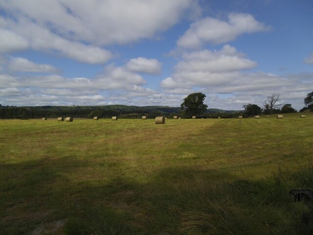
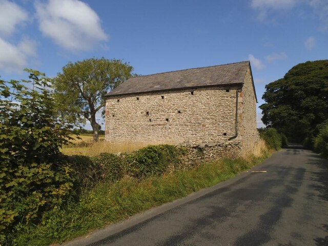
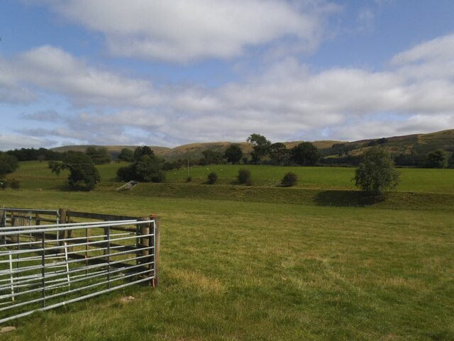
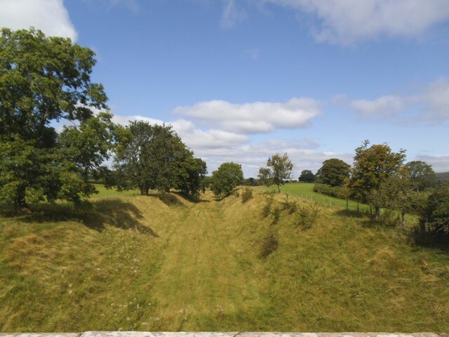
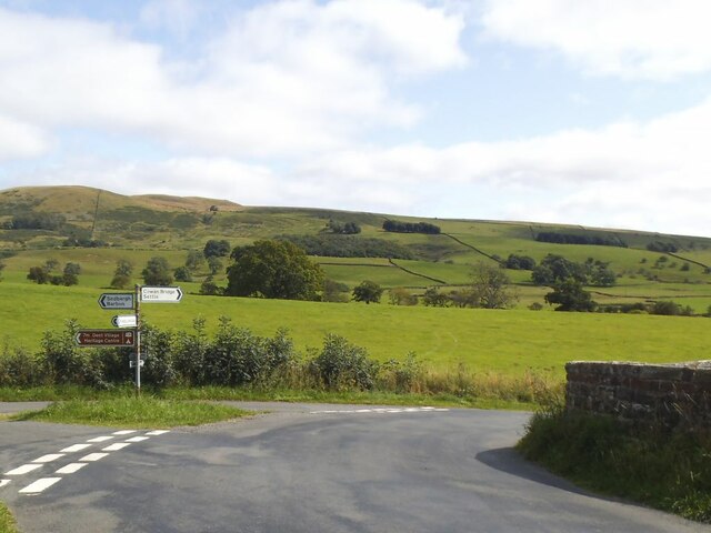
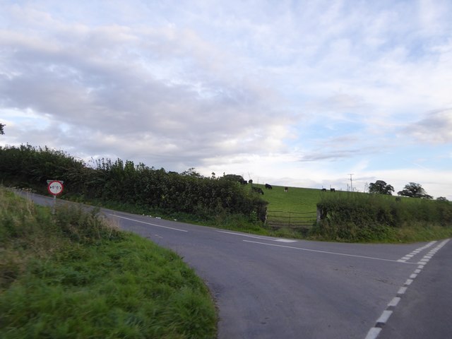
Lowfields Wood, located in Westmorland, is a picturesque woodland area that exudes natural beauty and tranquility. Covering a vast expanse, the wood is a haven for nature lovers and outdoor enthusiasts alike. It is situated in the northwestern part of England, offering a serene retreat from the bustling city life.

The wood is characterized by its diverse range of tree species, including oak, beech, ash, and birch, which create a rich and vibrant canopy overhead. The forest floor is adorned with a plethora of wildflowers, ferns, and mosses, adding to its enchanting atmosphere. The foliage undergoes a stunning transformation throughout the seasons, from vibrant greens in the spring and summer to fiery hues of red and gold in the autumn.

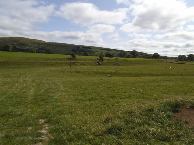
Lowfields Wood is home to a variety of wildlife, making it a haven for nature enthusiasts. Birds such as woodpeckers, owls, and songbirds can be heard chirping and trilling in the treetops, while the occasional sighting of deer, foxes, and rabbits adds to the allure of the woodland.

Numerous walking trails meander through the wood, offering visitors the opportunity to explore its scenic beauty at their own pace. These trails vary in length and difficulty, catering to both casual strollers and avid hikers. Along the way, visitors may stumble upon hidden clearings, babbling brooks, and even a small pond, enhancing the sense of adventure and discovery.

Lowfields Wood, with its idyllic setting and abundant wildlife, is a true gem in the Westmorland region. It provides a respite from the demands of daily life and offers a sanctuary for those seeking solace in nature's embrace.

If you have any feedback on the listing, please let us know in the comments section below.

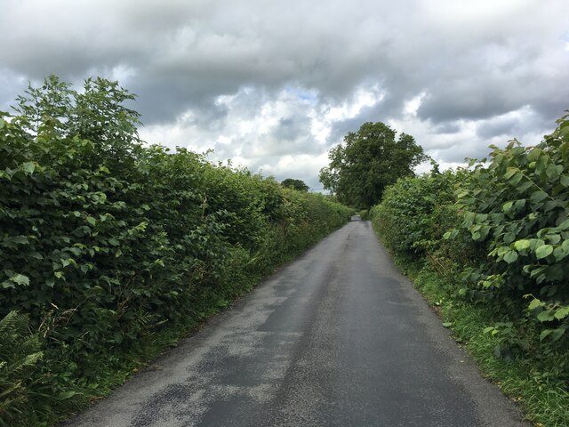
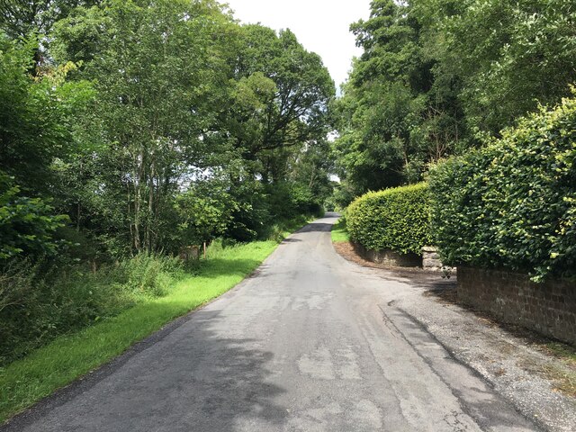
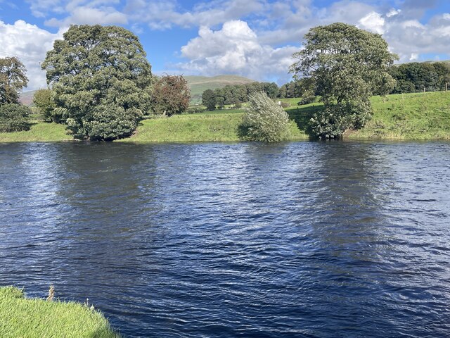
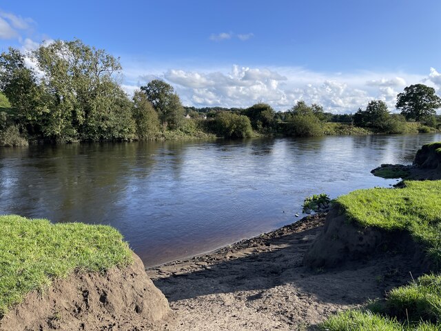
Lowfields Wood Images

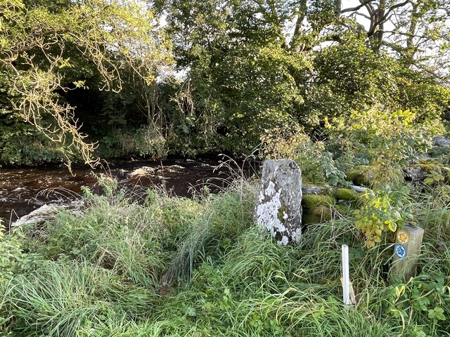
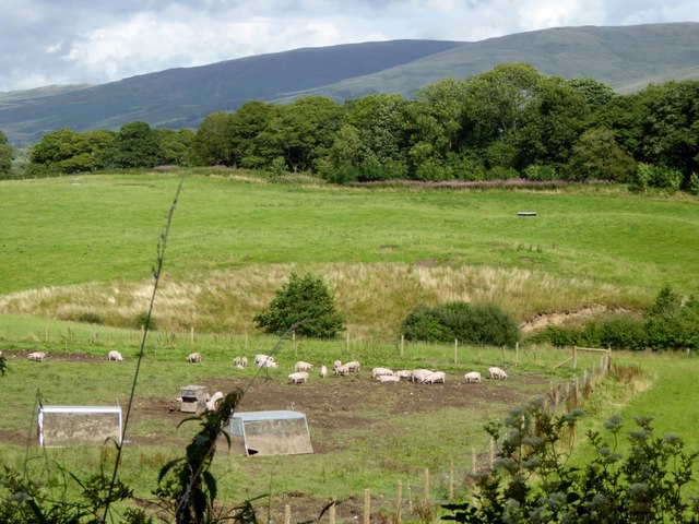
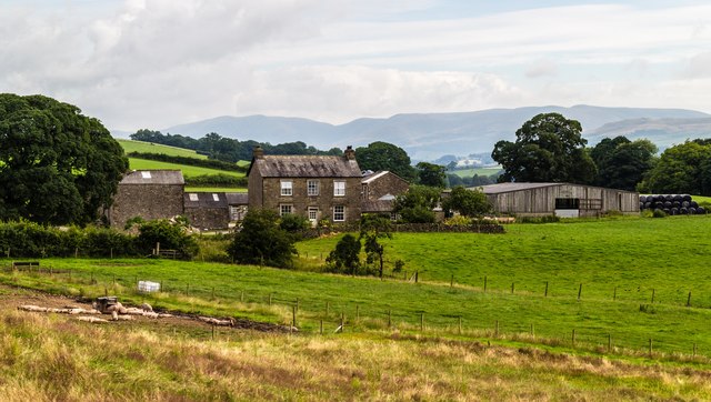
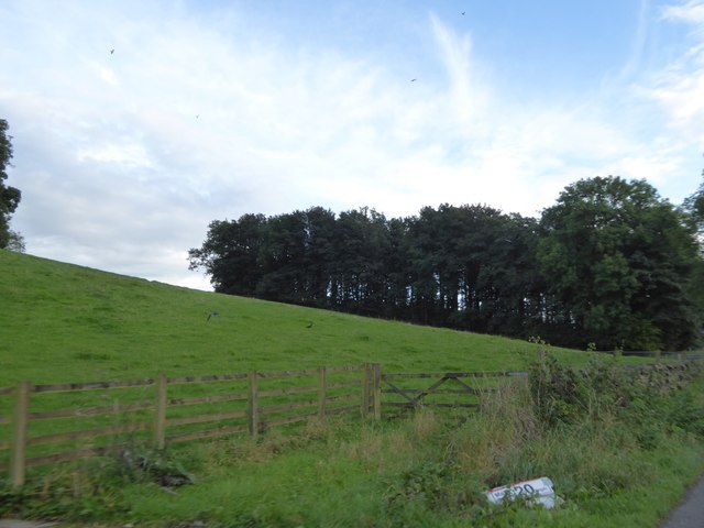
Images are sourced within 2km of 54.221829/-2.5912958 or Grid Reference SD6180. Thanks to Geograph Open Source API. All images are credited.

Hayfield in Barbondale A Roman road ran a little to the left of the large tree in the distance, and an early medieval settlement was just the other side of the road behind the camera <a href="https://www.geograph.org.uk/photo/2158331">SD6281 : Ancient settlement near Town End, Barbon</a>. What crop did ancient Romans and early English people grow on this  field?
Hayfield in Barbondale
A Roman road ran a little to the left of the large tree in the distance, and an early medieval settlement was just the other side of the road behind the camera SD6281 : Ancient settlement near Town End, Barbon. What crop did ancient Romans and early English people grow on this field?
Roadside laithe between Barbon and Casterton Kept in better condition than most, it even has a proper rainwater drainage system.
Roadside laithe between Barbon and Casterton
Kept in better condition than most, it even has a proper rainwater drainage system.
Disused railway embankment between Barbon and Casterton (1) The railway was the LMS route one between the 'Little North Western' line at Clapham and their main line to Scotland at Lowgill, via Ingleton. It last saw regular trains in 1954 and the track was lifted in 1967.
Disused railway embankment between Barbon and Casterton (1)
The railway was the LMS route one between the 'Little North Western' line at Clapham and their main line to Scotland at Lowgill, via Ingleton. It last saw regular trains in 1954 and the track was lifted in 1967.
Disused railway embankment between Barbon and Casterton (2) The railway was the LMS route one between the 'Little North Western' line at Clapham and their main line to Scotland at Lowgill, via Ingleton. It last saw regular trains in 1954 and the track was lifted in 1967. Note the underpass for farm traffic.
Disused railway embankment between Barbon and Casterton (2)
The railway was the LMS route one between the 'Little North Western' line at Clapham and their main line to Scotland at Lowgill, via Ingleton. It last saw regular trains in 1954 and the track was lifted in 1967. Note the underpass for farm traffic.
Disused railway cutting north of Greenber Lane The railway was the LMS route one between the 'Little North Western' line at Clapham and their main line to Scotland at Lowgill, via Ingleton. It last saw regular trains in 1954 and the track was lifted in 1967. Photo taken from the road bridge <a href="https://www.geograph.org.uk/photo/4523003">SD6280 : Casterton</a>.
Disused railway cutting north of Greenber Lane
The railway was the LMS route one between the 'Little North Western' line at Clapham and their main line to Scotland at Lowgill, via Ingleton. It last saw regular trains in 1954 and the track was lifted in 1967. Photo taken from the road bridge SD6280 : Casterton.
Signpost on Bents Lane Left to Barbon and Sedbergh, right to Sown Bridge and Settle.
Signpost on Bents Lane
Left to Barbon and Sedbergh, right to Sown Bridge and Settle.
Fish bench by the Lune
Prohibition sign by the Lune
Minor road towards Barbon
A683 towards Sedbergh
River Lune Ford This is another old impassable ford on the River Lune at Mansergh.
River Lune Ford
This is another old impassable ford on the River Lune at Mansergh.
River Lune Ford This is another old impassable ford on the River Lune near Nether Hall.
River Lune Ford
This is another old impassable ford on the River Lune near Nether Hall.
Ford on Barbon Beck This ford on the Barbon Beck is found beside Kirkby Lonsdale Golf Club.
Ford on Barbon Beck
This ford on the Barbon Beck is found beside Kirkby Lonsdale Golf Club.
Piggery at Mansergh Hall
Mansergh Hall Mansergh Hall Farm.
Mansergh Hall
Mansergh Hall Farm.
Field and patch of woodland south of Barbon One of several small patches of woodland beside the A683
Field and patch of woodland south of Barbon
One of several small patches of woodland beside the A683
Minor road junction north of Casterton
Show me another place!

Lowfields Wood is located at Grid Ref: SD6180 (Lat: 54.221829, Lng: -2.5912958)

Administrative County: Cumbria

District: South Lakeland

Police Authority: Cumbria

What 3 Words

///slap.quaking.samples. Near Kirkby Lonsdale, Cumbria

Related Wikis

Underley Hall

Underley Hall is a large country house near Kirkby Lonsdale in Cumbria. It was designed in a Jacobean Revival style by the architect George Webster for...

Barbon Beck

Barbon Beck is a small river in Barbondale, Cumbria. It is a tributary of the River Lune. Rising at Weather Ling Hill, where it is known as Barkin Beck...

Holy Trinity Church, Casterton

Holy Trinity Church is in the village of Casterton, Cumbria, England. It is an active Anglican parish church in the deanery of Kendal, the archdeaconry...

Casterton School

Casterton School was an independent boarding and day school for girls aged 3 to 18 years in the village of Casterton in rural Cumbria. In its final years...

Nearby Amenities

Located within 500m of 54.221829,-2.5912958
Barrier: stile
Material: stone
Source: survey;gps
Stile: stepover
Lat/Long: 54.2189327/-2.5864226
Turning Circle
Lat/Long: 54.2232699/-2.5852831
Power: pole
Lat/Long: 54.22261/-2.5839668
Power: pole
Lat/Long: 54.2226855/-2.5855992
Barrier: cattle_grid
Lat/Long: 54.225152/-2.5956778
The data included in this document is from www.openstreetmap.org. The data is made available under ODbL.

Have you been to Lowfields Wood?

Leave your review of Lowfields Wood below (or comments, questions and feedback).