Green Wood

Wood, Forest in Westmorland South Lakeland

England

Green Wood

Roadside laithe between Barbon and Casterton Kept in better condition than most, it even has a proper rainwater drainage system.
Roadside laithe between Barbon and Casterton Credit: Stephen Craven

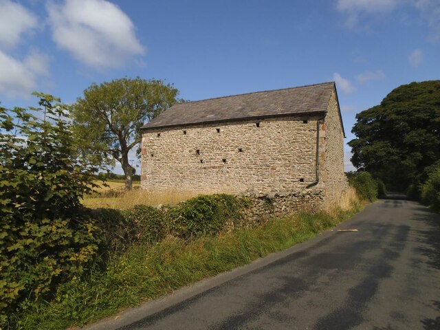
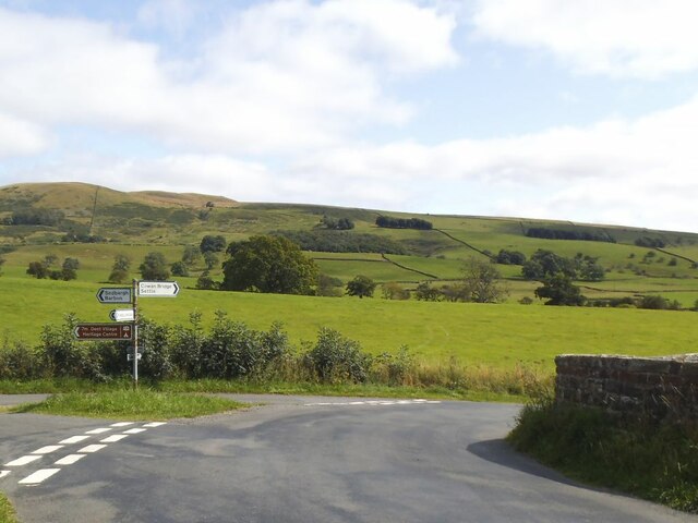
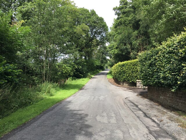
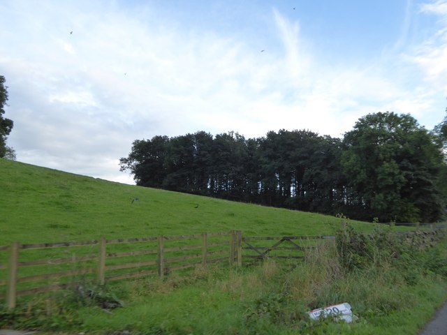
Green Wood is a picturesque forest located in Westmorland, a county in the northwest region of England. Nestled amidst the rolling hills and lush green countryside, this woodland is a haven for nature lovers and outdoor enthusiasts alike.

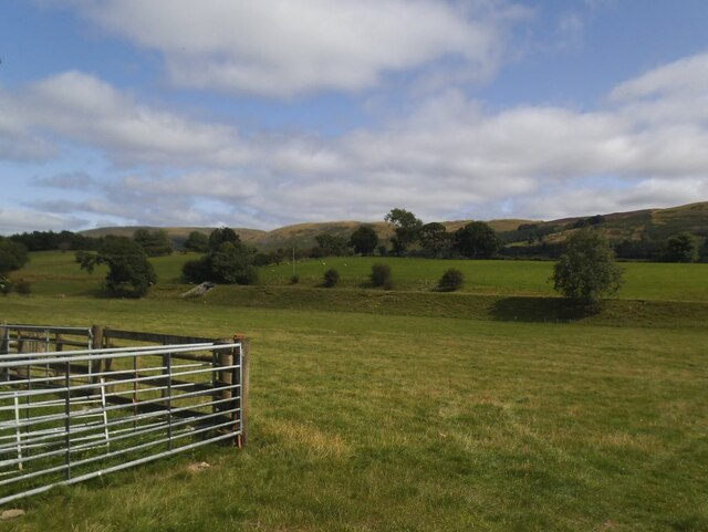
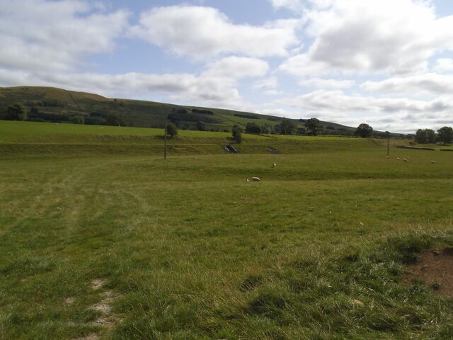
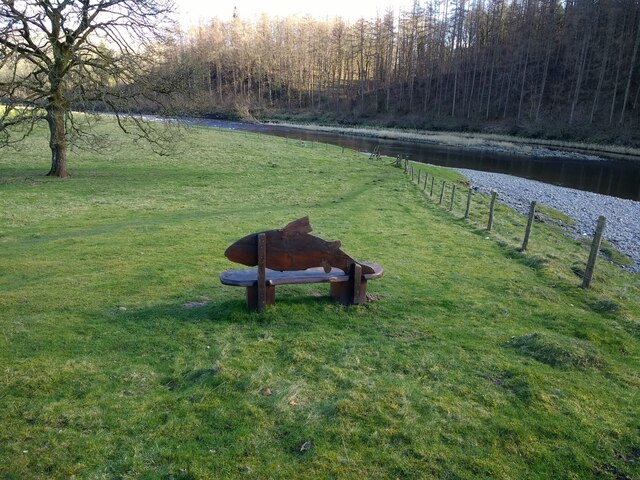
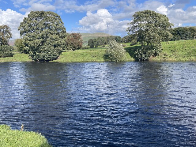
Stretching over an area of approximately 500 acres, Green Wood is home to a diverse range of flora and fauna, making it an important ecological hotspot in the region. The forest is predominantly composed of deciduous trees such as oak, beech, and birch, creating a vibrant and ever-changing landscape throughout the seasons. The dense canopy provides shelter to a variety of bird species, including woodpeckers, owls, and thrushes, making it a birdwatcher's paradise.

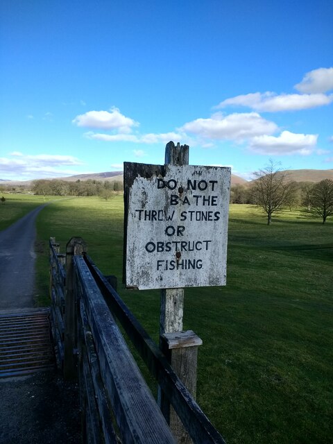
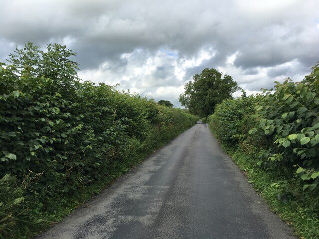
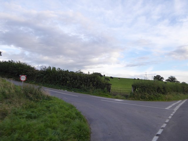
The forest boasts an extensive network of well-maintained walking trails, allowing visitors to explore its beauty at their own pace. These paths wind through ancient woodlands, tranquil meadows, and bubbling streams, providing a serene and rejuvenating experience for those seeking solace in nature. For more adventurous souls, there are also biking trails and designated areas for horse riding.

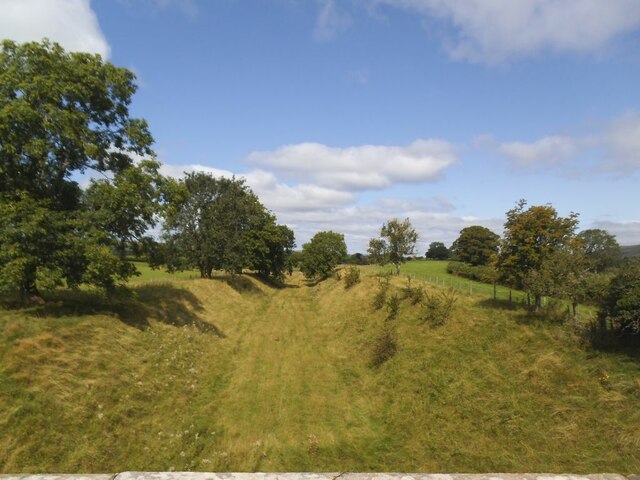
Green Wood is not just a natural wonderland but also a site of historical significance. It is believed to have been inhabited by humans since prehistoric times, and remnants of ancient settlements and burial mounds can still be found scattered throughout the forest. Archaeological enthusiasts can immerse themselves in the rich history and unravel the mysteries of the past.

Whether one is seeking a peaceful retreat, an active outdoor adventure, or a glimpse into the region's history, Green Wood in Westmorland offers a truly enchanting experience for all who venture into its verdant embrace.

If you have any feedback on the listing, please let us know in the comments section below.
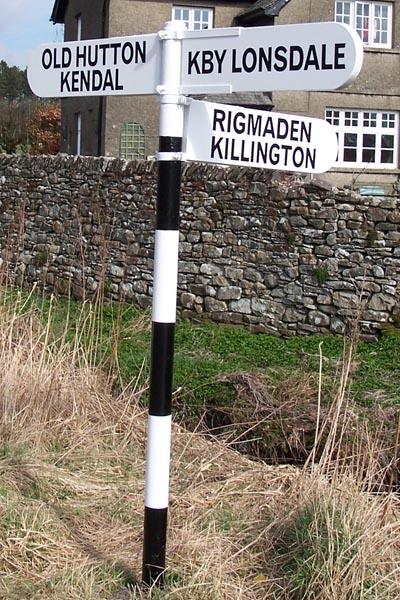
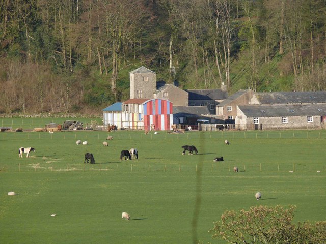
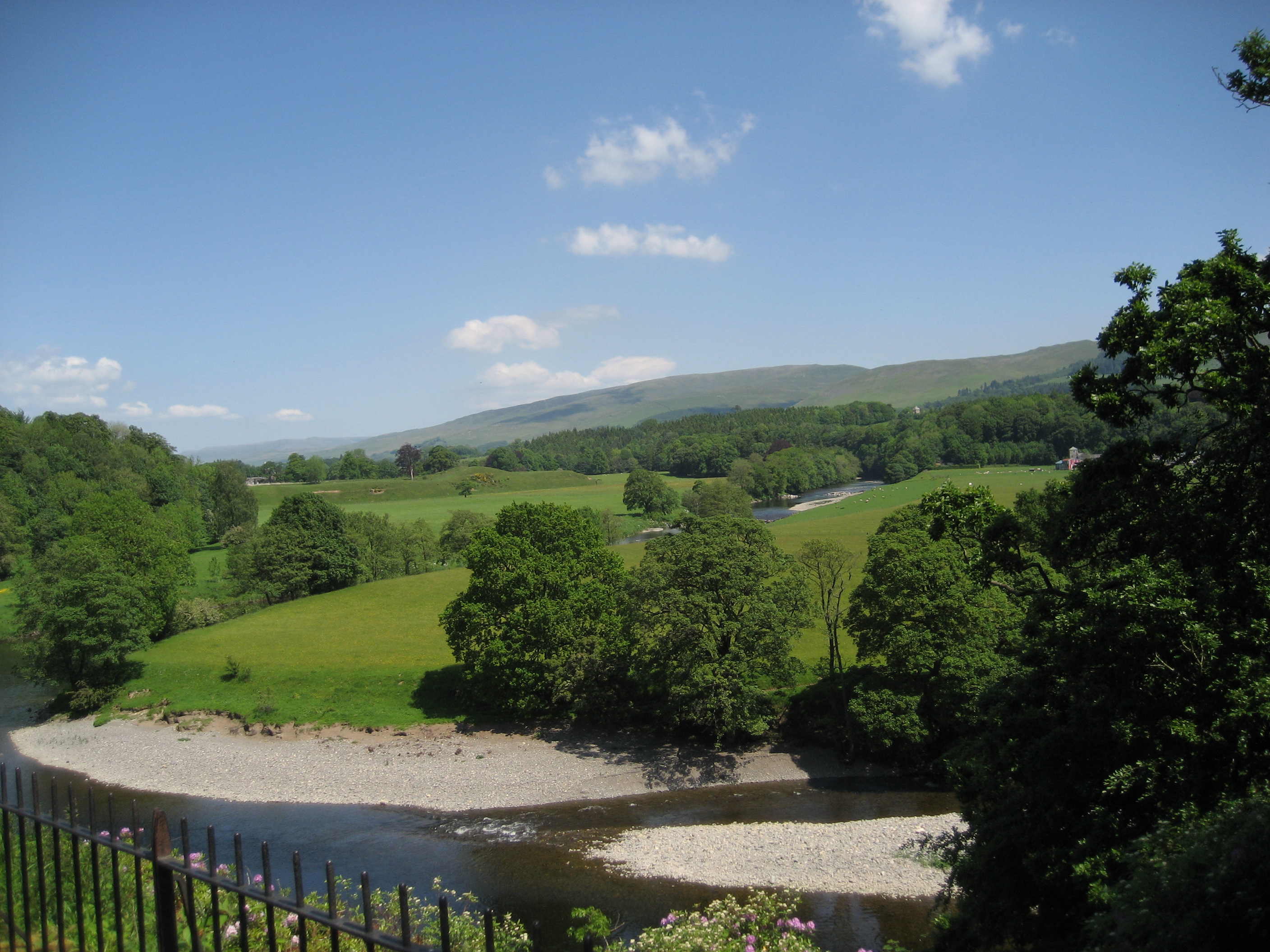
Green Wood Images

Images are sourced within 2km of 54.21706/-2.5979138 or Grid Reference SD6180. Thanks to Geograph Open Source API. All images are credited.

Roadside laithe between Barbon and Casterton Kept in better condition than most, it even has a proper rainwater drainage system.
Roadside laithe between Barbon and Casterton
Kept in better condition than most, it even has a proper rainwater drainage system.
Disused railway embankment between Barbon and Casterton (1) The railway was the LMS route one between the 'Little North Western' line at Clapham and their main line to Scotland at Lowgill, via Ingleton. It last saw regular trains in 1954 and the track was lifted in 1967.
Disused railway embankment between Barbon and Casterton (1)
The railway was the LMS route one between the 'Little North Western' line at Clapham and their main line to Scotland at Lowgill, via Ingleton. It last saw regular trains in 1954 and the track was lifted in 1967.
Disused railway embankment between Barbon and Casterton (2) The railway was the LMS route one between the 'Little North Western' line at Clapham and their main line to Scotland at Lowgill, via Ingleton. It last saw regular trains in 1954 and the track was lifted in 1967. Note the underpass for farm traffic.
Disused railway embankment between Barbon and Casterton (2)
The railway was the LMS route one between the 'Little North Western' line at Clapham and their main line to Scotland at Lowgill, via Ingleton. It last saw regular trains in 1954 and the track was lifted in 1967. Note the underpass for farm traffic.
Disused railway cutting north of Greenber Lane The railway was the LMS route one between the 'Little North Western' line at Clapham and their main line to Scotland at Lowgill, via Ingleton. It last saw regular trains in 1954 and the track was lifted in 1967. Photo taken from the road bridge <a href="https://www.geograph.org.uk/photo/4523003">SD6280 : Casterton</a>.
Disused railway cutting north of Greenber Lane
The railway was the LMS route one between the 'Little North Western' line at Clapham and their main line to Scotland at Lowgill, via Ingleton. It last saw regular trains in 1954 and the track was lifted in 1967. Photo taken from the road bridge SD6280 : Casterton.
Signpost on Bents Lane Left to Barbon and Sedbergh, right to Sown Bridge and Settle.
Signpost on Bents Lane
Left to Barbon and Sedbergh, right to Sown Bridge and Settle.
Fish bench by the Lune
Prohibition sign by the Lune
Minor road towards Barbon
River Lune Ford This is another old impassable ford on the River Lune at Mansergh.
River Lune Ford
This is another old impassable ford on the River Lune at Mansergh.
Piggery at Mansergh Hall
Mansergh Hall Mansergh Hall Farm.
Mansergh Hall
Mansergh Hall Farm.
Field and patch of woodland south of Barbon One of several small patches of woodland beside the A683
Field and patch of woodland south of Barbon
One of several small patches of woodland beside the A683
Minor road junction north of Casterton
Small Stream at Kearstwick
Road Junction at Kearstwick
Old Bridge Marker on Keastwick Bridge South, off the B6254, Kearstwick Bridge Marker just off the B6254, in parish of Kirkby Lonsdale (South Lakeland District), Keastwick Bridge South (at, but not on B6254), built into North parapet.

Inscription reads:- : WCC / KEASTWICK BRIDGE / SOUTH / REPAIRED 1925 :

Surveyed

Milestone Society National ID: WE_KLKDa00br
Old Bridge Marker on Keastwick Bridge South, off the B6254, Kearstwick
Bridge Marker just off the B6254, in parish of Kirkby Lonsdale (South Lakeland District), Keastwick Bridge South (at, but not on B6254), built into North parapet. Inscription reads:- : WCC / KEASTWICK BRIDGE / SOUTH / REPAIRED 1925 : Surveyed Milestone Society National ID: WE_KLKDa00br
Direction Sign - Signpost by the B6254, Kearstwick No finial - 3 arms; by the B6254, in parish of Kirkby Lonsdale (South Lakeland District), Kearstwick.

Surveyed

Milestone Society National ID: WE_SD6080
Direction Sign - Signpost by the B6254, Kearstwick
No finial - 3 arms; by the B6254, in parish of Kirkby Lonsdale (South Lakeland District), Kearstwick. Surveyed Milestone Society National ID: WE_SD6080
Show me another place!

Green Wood is located at Grid Ref: SD6180 (Lat: 54.21706, Lng: -2.5979138)

Administrative County: Cumbria

District: South Lakeland

Police Authority: Cumbria

What 3 Words

///registers.layover.behind. Near Kirkby Lonsdale, Cumbria

Related Wikis

Underley Hall

Underley Hall is a large country house near Kirkby Lonsdale in Cumbria. It was designed in a Jacobean Revival style by the architect George Webster for...

Barbon Beck

Barbon Beck is a small river in Barbondale, Cumbria. It is a tributary of the River Lune. Rising at Weather Ling Hill, where it is known as Barkin Beck...

St Mary's Church, Kirkby Lonsdale

St Mary's Church is in the town of Kirkby Lonsdale, Cumbria, England. It is an active Anglican parish church in the deanery of Kendal, the archdeaconry...

Holy Trinity Church, Casterton

Holy Trinity Church is in the village of Casterton, Cumbria, England. It is an active Anglican parish church in the deanery of Kendal, the archdeaconry...

Casterton School

Casterton School was an independent boarding and day school for girls aged 3 to 18 years in the village of Casterton in rural Cumbria. In its final years...

Casterton, Cumbria

Casterton is a small village and civil parish close to Kirkby Lonsdale on the River Lune in the south east corner of Cumbria, England. In the 2001 census...

Queen Elizabeth School, Kirkby Lonsdale

Queen Elizabeth School, also abbreviated to as QES, is a coeducational, comprehensive secondary school and sixth form with academy status. It is located...
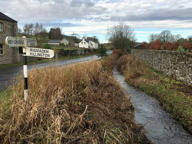
Kirkby Lonsdale

Kirkby Lonsdale () is a town and civil parish in the Westmorland and Furness district of Cumbria, England, on the River Lune. Historically in Westmorland...

Nearby Amenities

Located within 500m of 54.21706,-2.5979138
Access Delivery: no
Barrier: cattle_grid
Lat/Long: 54.2210028/-2.6005348
School
Underley Garden School
Lat/Long: 54.2159504/-2.5932298
Bench
Backrest: yes
Material: wood
Seats: 2
Lat/Long: 54.2209418/-2.6005109
Barrier: stile
Material: wood
Step Count: 3
Stile: ladder
Lat/Long: 54.2207164/-2.599952
Power: pole
Lat/Long: 54.2133736/-2.5999947
Power: pole
Lat/Long: 54.2137011/-2.5984146
Power: pole
Lat/Long: 54.21419/-2.5968613
Power: pole
Lat/Long: 54.2146722/-2.5953425
Power: pole
Lat/Long: 54.2152283/-2.5935975
The data included in this document is from www.openstreetmap.org. The data is made available under ODbL.

Have you been to Green Wood?

Leave your review of Green Wood below (or comments, questions and feedback).