Kitesnest Plantation

Wood, Forest in Shropshire

England

Kitesnest Plantation

Sign for a footpath
Sign for a footpath Credit: Row17

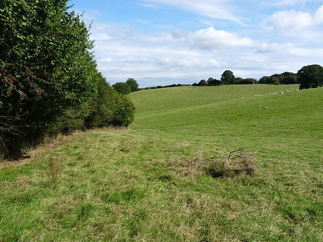
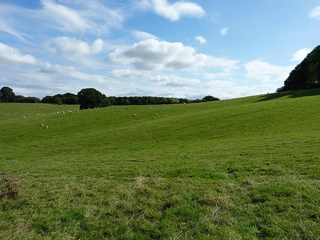
Kitesnest Plantation is a picturesque woodland located in the scenic county of Shropshire, England. Nestled in the heart of the county, this plantation covers an expansive area of lush greenery, making it a haven for nature lovers and outdoor enthusiasts alike.

The plantation is characterized by a diverse range of tree species, including oak, birch, beech, and pine, which create a visually stunning landscape throughout the year. The woodlands are also home to numerous wildlife species, such as deer, foxes, rabbits, and a variety of bird species, making it an ideal spot for wildlife enthusiasts and bird watchers.

Visitors to Kitesnest Plantation can enjoy a range of recreational activities, including walking, hiking, and cycling on the well-maintained trails that wind through the woodland. The plantation also offers designated picnic areas where visitors can relax and enjoy the serene surroundings.

The plantation has a rich history, dating back several centuries, and was originally established for timber production. Today, it serves as a protected area, managed by local authorities to preserve its natural beauty and ecological significance. It is open to the public year-round, with no admission fees.

Kitesnest Plantation is conveniently located near several other attractions in Shropshire, including historical sites, charming villages, and other natural landmarks. Visitors can easily spend a day exploring the woodland and its surroundings, immersing themselves in the tranquility and beauty of this enchanting plantation.

If you have any feedback on the listing, please let us know in the comments section below.

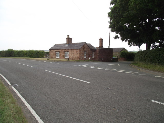
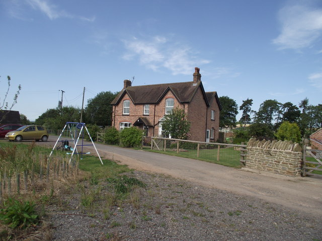
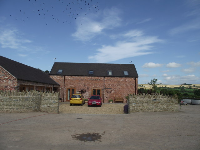
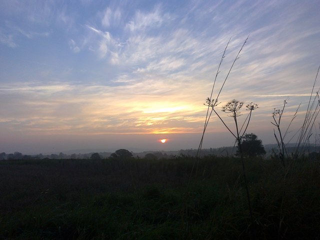
Kitesnest Plantation Images

Images are sourced within 2km of 52.547022/-2.5788336 or Grid Reference SO6094. Thanks to Geograph Open Source API. All images are credited.

Sign for a footpath
Sign for a footpath
Turn left for Kytes Nest Farm
Standing strong against the skyline A single tree stands proud in a field of wheat.
Standing strong against the skyline
A single tree stands proud in a field of wheat.
Weird Weather The on screen photo fails to do justice to this funnel cloud taken over Cawleys Coppice.
Weird Weather
The on screen photo fails to do justice to this funnel cloud taken over Cawleys Coppice.
Beside a field of Oilseed Rape
Netchwood Junction A rather attractive Copper Beech tree stands close to the B4368.
The footpath behind links up to Corve Barn farm.
Netchwood Junction
A rather attractive Copper Beech tree stands close to the B4368. The footpath behind links up to Corve Barn farm.
Footpath in the corn Corve Barn Farm,Weston.
Footpath in the corn
Corve Barn Farm,Weston.
Pay up A former Toll House on the B4386.
Pay up
A former Toll House on the B4386.
Corve Barn Farm No longer an active farm, having diversified into holiday accommodation.
Corve Barn Farm
No longer an active farm, having diversified into holiday accommodation.
Corve Barn Farm, barn conversion  Can be best described as a luxury holiday let.
Corve Barn Farm, barn conversion
Can be best described as a luxury holiday let.
Corvedale sun-rise September sun-rise from the B4378, South-West of Much Wenlock.
Corvedale sun-rise
September sun-rise from the B4378, South-West of Much Wenlock.
OS benchmark - Monkhopton, roadside building Located on an outhouse beside the Old Schoolhouse just outside the village, and rather obscured by vegetation. This mark was last levelled by the OS in 1973 at 143.507m above Ordnance Datum Newlyn.
OS benchmark - Monkhopton, roadside building
Located on an outhouse beside the Old Schoolhouse just outside the village, and rather obscured by vegetation. This mark was last levelled by the OS in 1973 at 143.507m above Ordnance Datum Newlyn.
Wheatfields by the B4368 near Weston, Shropshire The B4368 links Craven Arms with Morville, near Bridgnorth. It is a very attractive rural route which tempts drivers into faster speeds than are safe in some places.
Wheatfields by the B4368 near Weston, Shropshire
The B4368 links Craven Arms with Morville, near Bridgnorth. It is a very attractive rural route which tempts drivers into faster speeds than are safe in some places.
Arable land east of Monkhopton, Shropshire Extensive wheat fields are ready for harvest, and work is progressing in many fields in the region. This field is already stubble, awaiting preparation for the next crop.
Arable land east of Monkhopton, Shropshire
Extensive wheat fields are ready for harvest, and work is progressing in many fields in the region. This field is already stubble, awaiting preparation for the next crop.
Poplars by a pond Alongside the road to Monkhall Farm.
Poplars by a pond
Alongside the road to Monkhall Farm.
Footpath along a hedgeline near Little Spoonhill The paths hereabouts are not particularly well signed, nor well used for that matter. Which is a shame, as it's a lovely area.
Footpath along a hedgeline near Little Spoonhill
The paths hereabouts are not particularly well signed, nor well used for that matter. Which is a shame, as it's a lovely area.
Pastureland near Monkhall Plantation
Show me another place!

Kitesnest Plantation is located at Grid Ref: SO6094 (Lat: 52.547022, Lng: -2.5788336)

Unitary Authority: Shropshire

Police Authority: West Mercia

What 3 Words

///pure.obligated.horns. Near Much Wenlock, Shropshire

Related Wikis

Monkhopton

Monkhopton is a village and civil parish in Shropshire, England. It is 6.5 miles south of Much Wenlock. There is an Anglican church: Its co-ordinates are...

Bourton, Shropshire

Bourton is a small village in Shropshire, England, 3 miles (5 km) southwest of Much Wenlock. It is part of the civil parish of Much Wenlock. Holy Trinity...

Patton, Shropshire

Patton is a hamlet in Shropshire, England. It is located in the civil parish of Stanton Long on the B4378 road between Bourton and Brockton. It lies on...

Patton (hundred)

Patton was a hundred of Shropshire, England. Formed during Anglo-Saxon England, it encompassed manors in eastern central Shropshire, and was amalgamated...

Related Videos

Monkhall Fishery bank holiday teams of five match 27th may 2019

The first Monkhall fishery bank holiday teams of 5 fishing match 27/05/2019 We entered as the Fishomanics . There were 10 ...

Is There Really Someone Living In This Ruined House?

I travel to the Shropshire country side and visit an old house. Currently being held up by scaffolding and missing most of the roof.

Urban Survival Guys Kit Review

We were sent some kit by the owner of Urban Survival Guys to trial out and review. Having spoken to Cameron we were quite ...

Nearby Amenities

Located within 500m of 52.547022,-2.5788336
The data included in this document is from www.openstreetmap.org. The data is made available under ODbL.

Have you been to Kitesnest Plantation?

Leave your review of Kitesnest Plantation below (or comments, questions and feedback).