Vicarage Wood

Wood, Forest in Herefordshire

England

Vicarage Wood

Farm cart A farm trailer parked in a field at Brampton Abbots near Ross on Wye. Taken with a 1950s Braun Paxette camera.
Farm cart Credit: John Winder

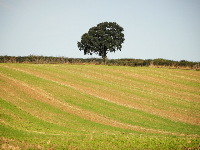
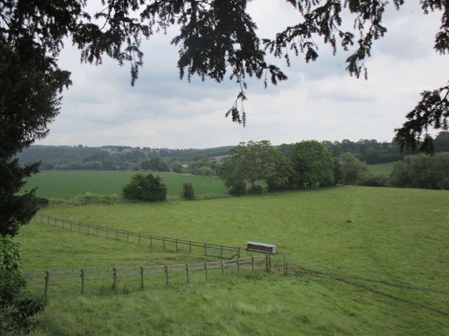
Vicarage Wood is a beautiful woodland area located in Herefordshire, England. Spanning over a vast expanse, it is nestled amidst the rolling hills and picturesque landscapes that the county is renowned for. This woodland, also known as Vicarage Forest, is a haven for nature lovers and those seeking tranquility in the heart of the countryside.

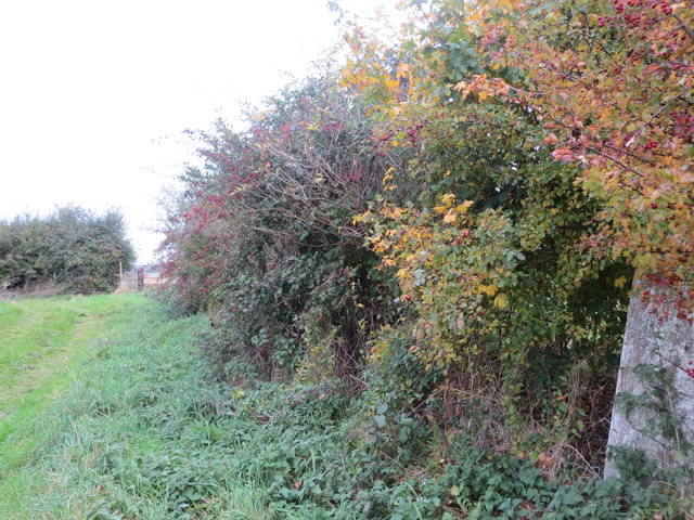
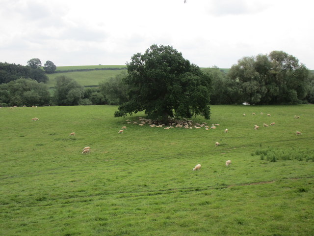
Vicarage Wood boasts an impressive variety of tree species, including oak, beech, ash, and birch. This diverse ecosystem provides a habitat for a wide range of wildlife, making it an ideal destination for birdwatchers and wildlife enthusiasts. Visitors can often spot woodland birds such as woodpeckers, owls, and various songbirds, as well as small mammals such as deer, rabbits, and squirrels.

The woodland is crisscrossed by well-maintained footpaths, allowing visitors to explore its enchanting beauty at their own pace. These paths wind through the forest, offering glimpses of sunlight filtering through the dense canopy and the gentle rustling of leaves underfoot. In spring, the woodland floor comes alive with a vibrant display of wildflowers, creating a stunning tapestry of colors.

Vicarage Wood also holds historical significance, with remnants of ancient settlements and archaeological sites scattered throughout the area. These remnants offer a glimpse into the rich history of the region, providing an added layer of intrigue for history buffs and archaeology enthusiasts.

Overall, Vicarage Wood is a true gem of Herefordshire, offering a serene and immersive experience in the heart of nature. Whether it's a leisurely stroll, birdwatching, or exploring the area's historical past, this woodland provides a memorable and enriching experience for all who visit.

If you have any feedback on the listing, please let us know in the comments section below.

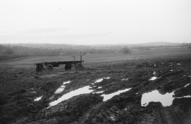
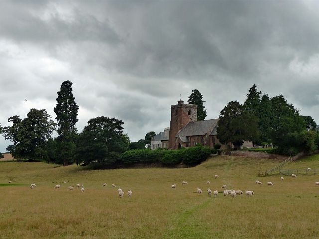
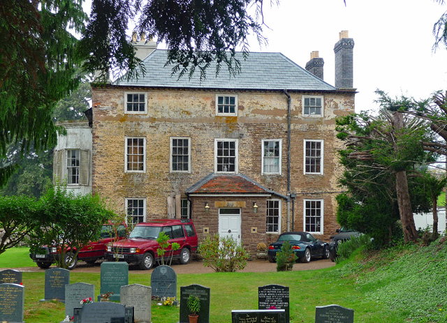
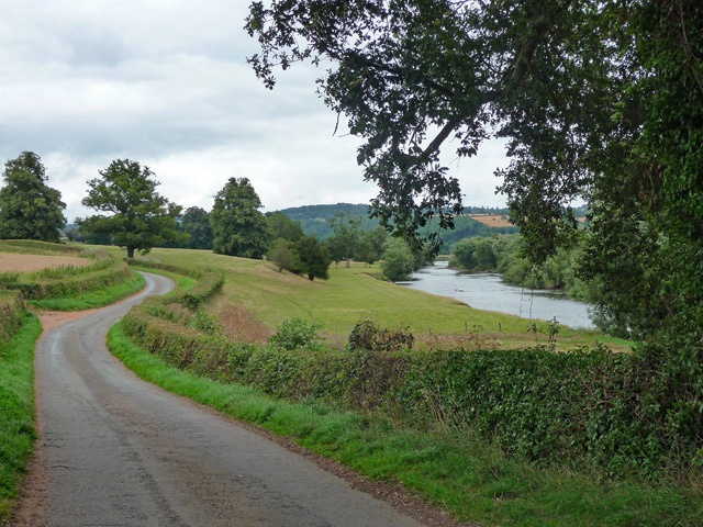
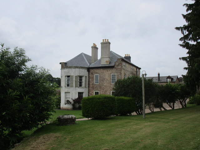
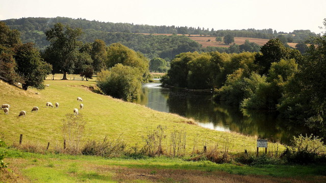
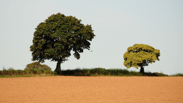
Vicarage Wood Images

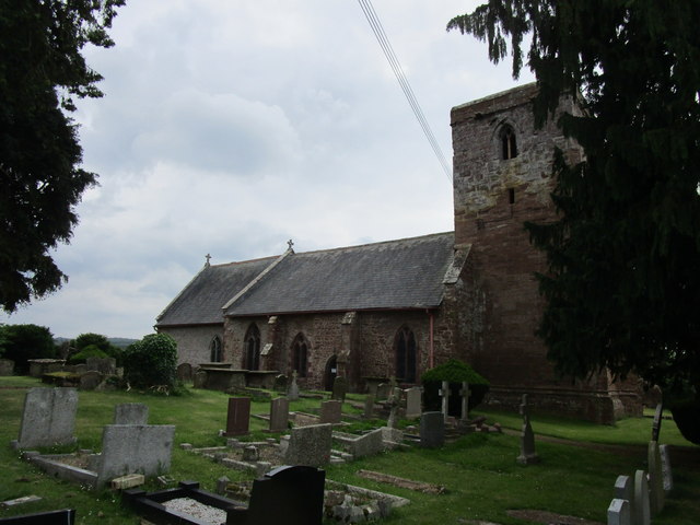
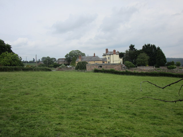
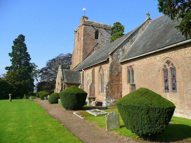
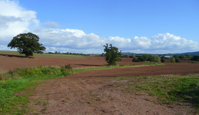
Images are sourced within 2km of 51.946311/-2.5709196 or Grid Reference SO6027. Thanks to Geograph Open Source API. All images are credited.

Farm cart A farm trailer parked in a field at Brampton Abbots near Ross on Wye. Taken with a 1950s Braun Paxette camera.
Farm cart
A farm trailer parked in a field at Brampton Abbots near Ross on Wye. Taken with a 1950s Braun Paxette camera.
Field edge view from Brampton Abbotts Triangulation Pillar Looking north-westward.
Field edge view from Brampton Abbotts Triangulation Pillar
Looking north-westward.
St Mary, Foy Bucolically sited by the Wye. Mostly C13th/C14th but as usual touched by many later hands.
St Mary, Foy
Bucolically sited by the Wye. Mostly C13th/C14th but as usual touched by many later hands.
Former vicarage, Foy Rubble-faced, built c1730, the porch a clumsy Victorian addition. The bow round the corner was added c1800. Grade II listed.
Former vicarage, Foy
Rubble-faced, built c1730, the porch a clumsy Victorian addition. The bow round the corner was added c1800. Grade II listed.
Country road near Foy The road meanders to Foy which sits in a large loop of the Wye.
Country road near Foy
The road meanders to Foy which sits in a large loop of the Wye.
Foye Court The former Rectory <span class="nowrap"><a title="https://historicengland.org.uk/listing/the-list/list-entry/1166408" rel="nofollow ugc noopener" href="https://historicengland.org.uk/listing/the-list/list-entry/1166408">Link</a><img style="margin-left:2px;" alt="External link" title="External link - shift click to open in new window" src="https://s1.geograph.org.uk/img/external.png" width="10" height="10"/></span>
Foye Court
The former Rectory LinkExternal link
The Wye near Foy A late summer view from the lane utilising telephoto to highlight the pastoral scene by the river.
In the distance is the high ground around Perrystone Hill.
The Wye near Foy
A late summer view from the lane utilising telephoto to highlight the pastoral scene by the river. In the distance is the high ground around Perrystone Hill.
Two oak trees and a buzzard Taken with the use of telephoto from the lane to Foy.
Two oak trees and a buzzard
Taken with the use of telephoto from the lane to Foy.
Oak tree and crop marks Vestiges of the previous crop still visible in the diagonal stripes in this image.
Oak tree and crop marks
Vestiges of the previous crop still visible in the diagonal stripes in this image.
St Mary's Church - Foy on Wye, Herefordshire This is the parish church of St Mary on the right bank of the Wye in the scattered 'cut in half' parish of Foy. The building dates from the 13th and 14th centuries and has a 14th century door. The east window of 1675 is a copy of the one at Sellack. There are memorials here to members of the Abrahall family. The village, for some reason, used to be known as Eton Tregoz and is truly cut in half. The only way of passing between the two is a footbridge of 1876, rebuilt in 1919 and drivers have a journey to Ross if they want to cross to the other half of the parish. Source: Herefordshire Village Book – Herefordshire Federation of Women's Institutes/Countryside Books. Time photo taken not available.
St Mary's Church - Foy on Wye, Herefordshire
This is the parish church of St Mary on the right bank of the Wye in the scattered 'cut in half' parish of Foy. The building dates from the 13th and 14th centuries and has a 14th century door. The east window of 1675 is a copy of the one at Sellack. There are memorials here to members of the Abrahall family. The village, for some reason, used to be known as Eton Tregoz and is truly cut in half. The only way of passing between the two is a footbridge of 1876, rebuilt in 1919 and drivers have a journey to Ross if they want to cross to the other half of the parish. Source: Herefordshire Village Book – Herefordshire Federation of Women's Institutes/Countryside Books. Time photo taken not available.
St Mary's church, Foy The village of Foy gives its name to the peninsula of land formed by an enormous meander in the River Wye. Foy consists of two or three farms, a rather grand house and thins church. The church is aligned north east - south west, which is unusual with most churches facing east; this is probably due to the local topography and the course of the nearby River Wye. More about the church's history can be found at <span class="nowrap"><a title="http://www.stmarysfoy.co.uk/history.html#church" rel="nofollow ugc noopener" href="http://www.stmarysfoy.co.uk/history.html#church">Link</a><img style="margin-left:2px;" alt="External link" title="External link - shift click to open in new window" src="https://s1.geograph.org.uk/img/external.png" width="10" height="10"/></span>
St Mary's church, Foy
The village of Foy gives its name to the peninsula of land formed by an enormous meander in the River Wye. Foy consists of two or three farms, a rather grand house and thins church. The church is aligned north east - south west, which is unusual with most churches facing east; this is probably due to the local topography and the course of the nearby River Wye. More about the church's history can be found at LinkExternal link
Church of St. Mary, Foy, interior looking east Largely thirteenth century though quite heavily restored <span class="nowrap"><a title="https://historicengland.org.uk/listing/the-list/list-entry/1157820" rel="nofollow ugc noopener" href="https://historicengland.org.uk/listing/the-list/list-entry/1157820">Link</a><img style="margin-left:2px;" alt="External link" title="External link - shift click to open in new window" src="https://s1.geograph.org.uk/img/external.png" width="10" height="10"/></span>
Church of St. Mary, Foy, interior looking east
Largely thirteenth century though quite heavily restored LinkExternal link
Footpath to the River Wye The footpath can just be made out crossing the grass field from the lower right hand corner of the photograph.
Footpath to the River Wye
The footpath can just be made out crossing the grass field from the lower right hand corner of the photograph.
Sheep in the shade It's not particularly hot or sunny but the sheep have mostly taken to the shade.
In a field between St. Mary's church, Foy and the River Wye.
Sheep in the shade
It's not particularly hot or sunny but the sheep have mostly taken to the shade. In a field between St. Mary's church, Foy and the River Wye.
The east end of St. Mary's church, Foy Largely a rebuilding of 1673. Money was bequeathed in 1640 under the will of John Abrahall for this to be done. No doubt the religious strife of the period prevented its execution until over 30 years later. <span class="nowrap"><a title="https://historicengland.org.uk/listing/the-list/list-entry/1157820" rel="nofollow ugc noopener" href="https://historicengland.org.uk/listing/the-list/list-entry/1157820">Link</a><img style="margin-left:2px;" alt="External link" title="External link - shift click to open in new window" src="https://s1.geograph.org.uk/img/external.png" width="10" height="10"/></span>
The east end of St. Mary's church, Foy
Largely a rebuilding of 1673. Money was bequeathed in 1640 under the will of John Abrahall for this to be done. No doubt the religious strife of the period prevented its execution until over 30 years later. LinkExternal link
Foye Court The former Rectory. <span class="nowrap"><a title="https://historicengland.org.uk/listing/the-list/list-entry/1166408" rel="nofollow ugc noopener" href="https://historicengland.org.uk/listing/the-list/list-entry/1166408">Link</a><img style="margin-left:2px;" alt="External link" title="External link - shift click to open in new window" src="https://s1.geograph.org.uk/img/external.png" width="10" height="10"/></span>
Foye Court
The former Rectory. LinkExternal link
St. Mary's church, Foy Largely dating to the thirteenth and fourteenth centuries <span class="nowrap"><a title="https://historicengland.org.uk/listing/the-list/list-entry/1157820" rel="nofollow ugc noopener" href="https://historicengland.org.uk/listing/the-list/list-entry/1157820">Link</a><img style="margin-left:2px;" alt="External link" title="External link - shift click to open in new window" src="https://s1.geograph.org.uk/img/external.png" width="10" height="10"/></span>
St. Mary's church, Foy
Largely dating to the thirteenth and fourteenth centuries LinkExternal link
View towards Carthage A largely eighteenth century farmhouse <span class="nowrap"><a title="https://historicengland.org.uk/listing/the-list/list-entry/1166404" rel="nofollow ugc noopener" href="https://historicengland.org.uk/listing/the-list/list-entry/1166404">Link</a><img style="margin-left:2px;" alt="External link" title="External link - shift click to open in new window" src="https://s1.geograph.org.uk/img/external.png" width="10" height="10"/></span>
View towards Carthage
A largely eighteenth century farmhouse LinkExternal link
Show me another place!

Vicarage Wood is located at Grid Ref: SO6027 (Lat: 51.946311, Lng: -2.5709196)

Unitary Authority: County of Herefordshire

Police Authority: West Mercia

What 3 Words

///dashes.youths.empire. Near Ross on Wye, Herefordshire

Related Wikis

Hole-in-the-Wall, Herefordshire

Hole-in-the-Wall is a riverside settlement on the east bank of the River Wye in the English county of Herefordshire. It is some five miles to the north...

Foy, Herefordshire

Foy is a hamlet and civil parish in Herefordshire, England. By road, it is 7 kilometres (4 miles) north of Ross-on-Wye, 23 kilometres (14 miles) south...

Brampton Abbotts

Brampton Abbotts is a village and civil parish in Herefordshire, England. It is located 2 km north of Ross-on-Wye and 16 km south east of Hereford. The...

Ross Spur Services

Ross Spur Services is a southbound-only service area on the A449 at the end of the M50 motorway. Formerly operated by BP, it is now owned by Euro Garages...

Nearby Amenities

Located within 500m of 51.946311,-2.5709196
Barrier: stile
Material: wood
Stile: stepover
Lat/Long: 51.9454481/-2.5734723
Barrier: stile
Material: wood
Stile: stepover
Lat/Long: 51.9467422/-2.5731767
Barrier: stile
Material: wood
Stile: stepover
Lat/Long: 51.9475266/-2.5730404
Power: pole
Lat/Long: 51.9506258/-2.5729224
Power: pole
Lat/Long: 51.9498422/-2.5734682
Power: pole
Lat/Long: 51.9494583/-2.5752828
Power: pole
Lat/Long: 51.9490586/-2.5740074
Power: pole
Lat/Long: 51.9476844/-2.5741395
Power: pole
Lat/Long: 51.9473624/-2.574183
Hill Of Eaton
Power: pole
Transformer: distribution
Voltage Primary: 11000
Lat/Long: 51.946573/-2.5742528
Power: pole
Lat/Long: 51.9459625/-2.5735293
Power: pole
Lat/Long: 51.9451383/-2.5726864
Power: pole
Lat/Long: 51.944355/-2.5724202
Power: pole
Lat/Long: 51.9436684/-2.5721707
Power: pole
Lat/Long: 51.9430414/-2.5719488
Power: pole
Lat/Long: 51.9423895/-2.5717154
The data included in this document is from www.openstreetmap.org. The data is made available under ODbL.

Have you been to Vicarage Wood?

Leave your review of Vicarage Wood below (or comments, questions and feedback).