Whitley Gorse

Wood, Forest in Cheshire

England

Whitley Gorse

The entrance to Grimsditch Hall
The entrance to Grimsditch Hall Credit: Ian Greig

Whitley Gorse is a charming woodland area located in the county of Cheshire, England. Situated near the village of Whitley, the gorse is an expansive forest that offers a serene and picturesque environment for visitors to explore. Spanning over several acres, this woodland is a perfect destination for nature lovers and outdoor enthusiasts.

The forest is primarily composed of various types of trees, including oak, beech, and birch. These trees create a dense and lush canopy, providing a cool and shaded atmosphere during the summer months. Walking through Whitley Gorse, visitors can enjoy the tranquil sounds of chirping birds, rustling leaves, and running streams.

The gorse is home to a rich diversity of wildlife. Squirrels can often be spotted darting through the trees, while rabbits and deer occasionally appear in the more secluded areas. Birdwatchers will be delighted by the presence of different avian species, including woodpeckers, owls, and songbirds.

There are several well-maintained walking trails within the gorse, allowing visitors to easily navigate through the forest. These paths are suitable for all ages and fitness levels, and they offer opportunities for both leisurely strolls and more challenging hikes.

Whitley Gorse is a popular destination for outdoor activities such as picnicking, photography, and nature study. The forest also provides a peaceful retreat for those seeking solitude and a break from the hectic pace of everyday life.

Overall, Whitley Gorse is a beautiful and tranquil woodland area, offering visitors a chance to connect with nature and enjoy the peacefulness of the Cheshire countryside.

If you have any feedback on the listing, please let us know in the comments section below.

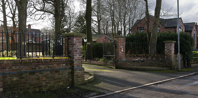
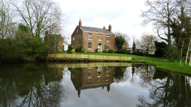
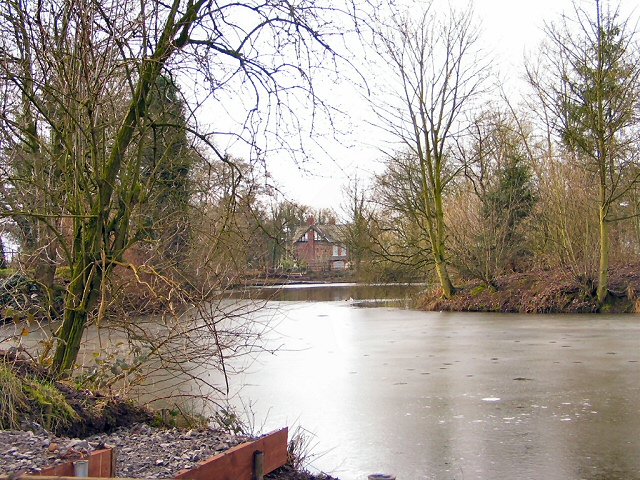
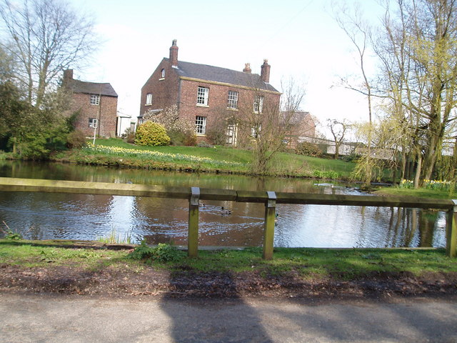
Whitley Gorse Images

Images are sourced within 2km of 53.303494/-2.5888518 or Grid Reference SJ6078. Thanks to Geograph Open Source API. All images are credited.

The entrance to Grimsditch Hall
Grimsditch Lane at its junction with Greenhill Lane
Reflections in the pond at Higher Whitley
A willow overlooks the pond at Higher Whitley
Flooded field, Grimsditch The following winter and spring were also wet.
Flooded field, Grimsditch
The following winter and spring were also wet.
High Whitley - Willowbank Farm & Town Pit (Pond)
Grimsditch Mill Pool Sitting at a peg on the Lymm Angling Society pond, looking towards the Millstone public house a little further west, along Grimsditch Lane. Not a day for fishing, the pond is still largely frozen over, even after noon.
Grimsditch Mill Pool
Sitting at a peg on the Lymm Angling Society pond, looking towards the Millstone public house a little further west, along Grimsditch Lane. Not a day for fishing, the pond is still largely frozen over, even after noon.
Lower Whitley Village houses at the turning for Higher Whitley.
Lower Whitley
Village houses at the turning for Higher Whitley.
St. Luke's Church, Whitley Church and Lychgate at Lower Whitley.
St. Luke's Church, Whitley
Church and Lychgate at Lower Whitley.
Heath Hall Farm View of the farmhouse at Heath Hall on Heath Lane at Dones Green.
Heath Hall Farm
View of the farmhouse at Heath Hall on Heath Lane at Dones Green.
Old Mill Lane Looking NE up Old Mill Lane towards Old Mill Farm from the junction with Goosebrook Lane (just outside the grid square).
Old Mill Lane
Looking NE up Old Mill Lane towards Old Mill Farm from the junction with Goosebrook Lane (just outside the grid square).
Goose Brook Farm, Comberbach Looking SE down Goosebrook Lane.
Goose Brook Farm, Comberbach
Looking SE down Goosebrook Lane.
Village Pond Higher Whitley Taken in the centre of Higher Whitley, close to junction of Dark Lane & Bentley's Farm Lane
Village Pond Higher Whitley
Taken in the centre of Higher Whitley, close to junction of Dark Lane & Bentley's Farm Lane
Village Pond Higher Whitley
Petrol Station at Dones Green Situated on the crossroads of the A49 & A533
Petrol Station at Dones Green
Situated on the crossroads of the A49 & A533
A533 west of Dones Green, Field Farm on left
Newholme Farm Despite its appearance, this remains a working farm
Newholme Farm
Despite its appearance, this remains a working farm
Sign outside Newholme Farm <a href="https://www.geograph.org.uk/photo/226987">SJ6078 : Newholme Farm</a>
Sign outside Newholme Farm
Show me another place!

Whitley Gorse is located at Grid Ref: SJ6078 (Lat: 53.303494, Lng: -2.5888518)

Unitary Authority: Cheshire West and Chester

Police Authority: Cheshire

What 3 Words

///rift.deaf.flattens. Near Stretton, Cheshire

Nearby Locations

Whitley Gorse

Related Wikis

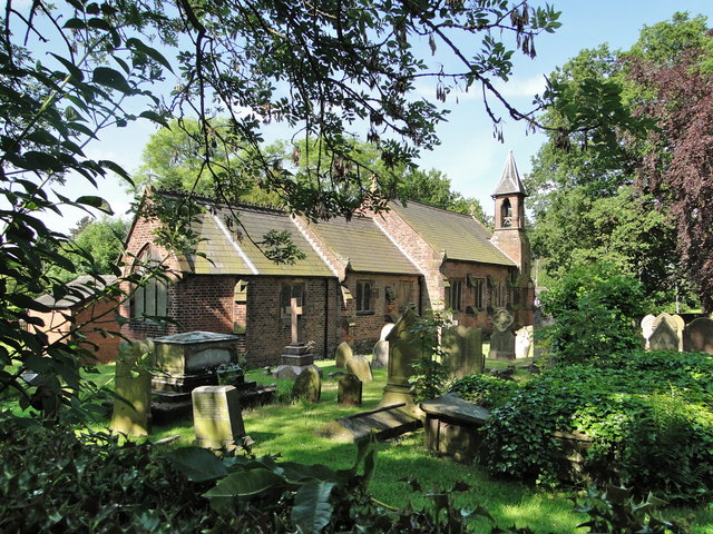
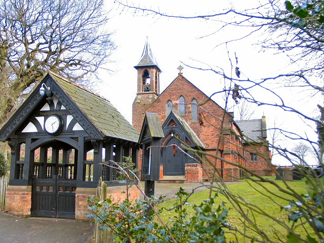
St Luke's Church, Lower Whitley

St Luke's Church is in the village of Lower Whitley, in the civil parish of Whitley, Cheshire, England. The church is recorded in the National Heritage...
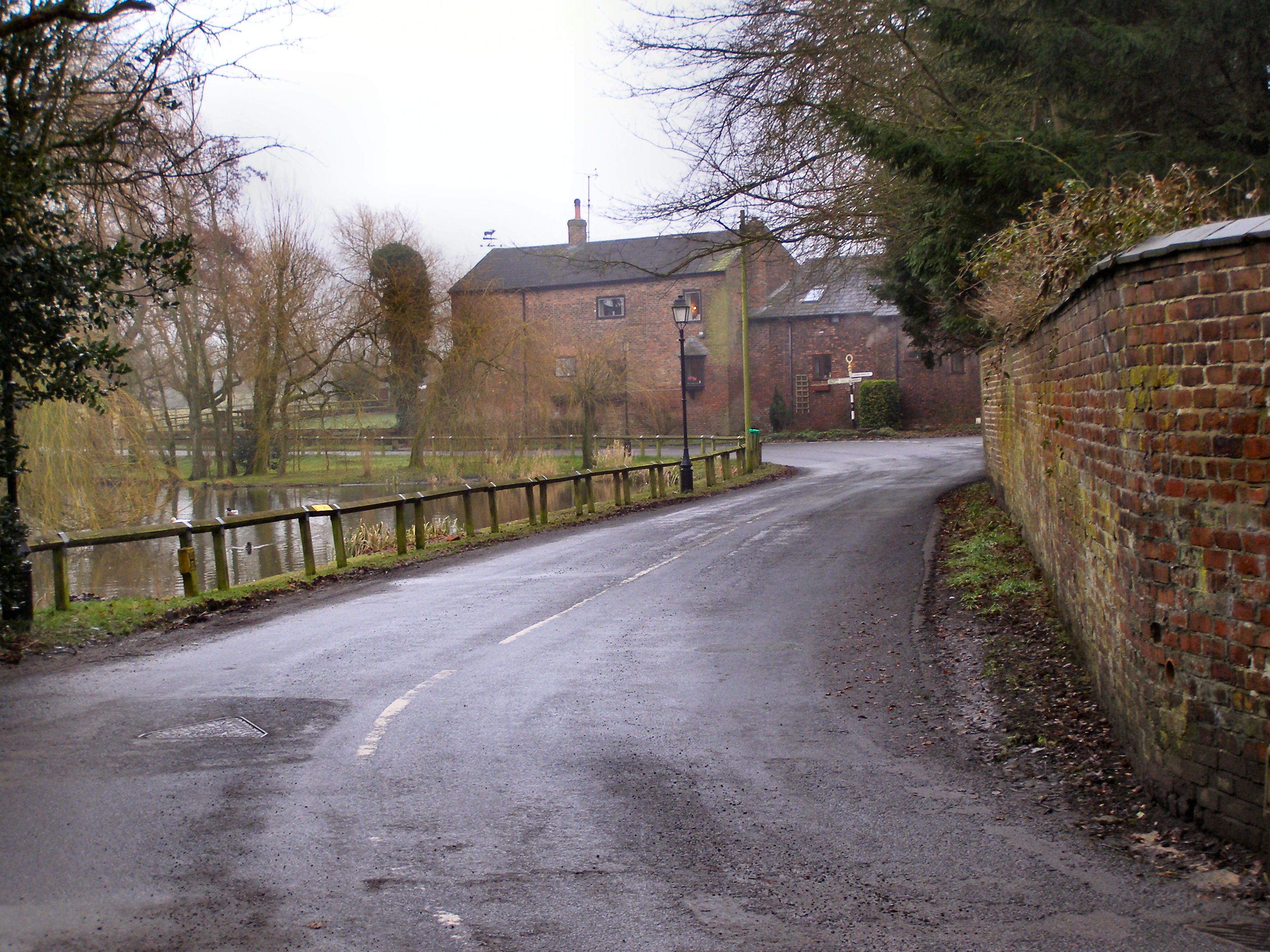
Higher Whitley

Higher Whitley is a village and former civil parish, now in the parish of Whitley, in the unitary authority area of Cheshire West and Chester, in the ceremonial...

Whitley, Cheshire

Whitley is a civil parish in the unitary authority of Cheshire West and Chester and the ceremonial county of Cheshire, England. It is surrounded by the...
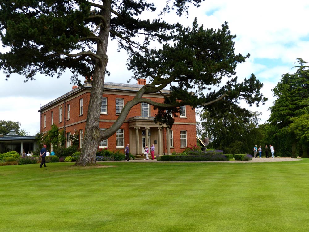
Cogshall Hall

Cogshall Hall is a country house near the village of Comberbach, Cheshire, England. It was built in about 1830 for Peter Jackson. A kitchen wing was...

Nearby Amenities

Located within 500m of 53.303494,-2.5888518
Power: pole
Lat/Long: 53.30079/-2.594746
Power: pole
Lat/Long: 53.3014842/-2.5939329
Power: pole
Lat/Long: 53.3030061/-2.5921207
Power: pole
Lat/Long: 53.3043092/-2.5905972
Power: pole
Lat/Long: 53.3049214/-2.5898676
Power: pole
Lat/Long: 53.3055353/-2.5891622
Power: pole
Lat/Long: 53.3065674/-2.5888993
Power: pole
Lat/Long: 53.3071911/-2.5875329
The data included in this document is from www.openstreetmap.org. The data is made available under ODbL.

Have you been to Whitley Gorse?

Leave your review of Whitley Gorse below (or comments, questions and feedback).