Folly Wood

Wood, Forest in Somerset

England

Folly Wood

The end of the Byway The byway ends with a broad muddy area in front of the double gated field entrance.
The end of the Byway Credit: James Ayres

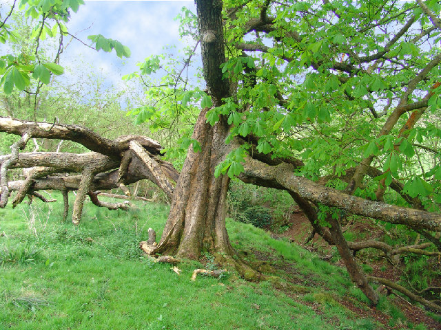
Folly Wood is a picturesque woodland located in Somerset, England. Nestled in the heart of the county, this enchanting forest covers an area of approximately 100 acres and is a popular destination for nature enthusiasts and hikers alike. The wood is situated near the village of Folly, hence its name, and is renowned for its tranquil atmosphere and diverse flora and fauna.

Folly Wood boasts a rich history, dating back several centuries. It was once part of an ancient hunting ground for the local nobility, and remnants of old deer enclosures can still be seen within the forest. Over the years, the woodland has been carefully managed by conservationists to preserve its natural beauty and ensure the thriving of its wildlife.

Visitors to Folly Wood can expect to encounter a variety of tree species, including oak, beech, and hornbeam. The forest floor is adorned with a carpet of bluebells in the spring, creating a breathtaking sight for visitors. Additionally, the wood is home to a diverse range of wildlife, such as squirrels, badgers, and a plethora of bird species, making it a haven for wildlife enthusiasts and birdwatchers.

There are several well-marked trails throughout Folly Wood, catering to different levels of difficulty and allowing visitors to explore the forest at their own pace. These paths lead visitors through ancient woodlands, alongside babbling brooks, and to scenic viewpoints that offer stunning vistas of the surrounding countryside.

Overall, Folly Wood is a captivating and idyllic woodland that offers a peaceful retreat for those seeking solace in nature. Its rich history, diverse ecosystem, and stunning landscapes make it a must-visit destination for anyone visiting Somerset.

If you have any feedback on the listing, please let us know in the comments section below.
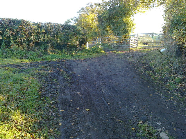
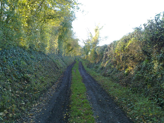
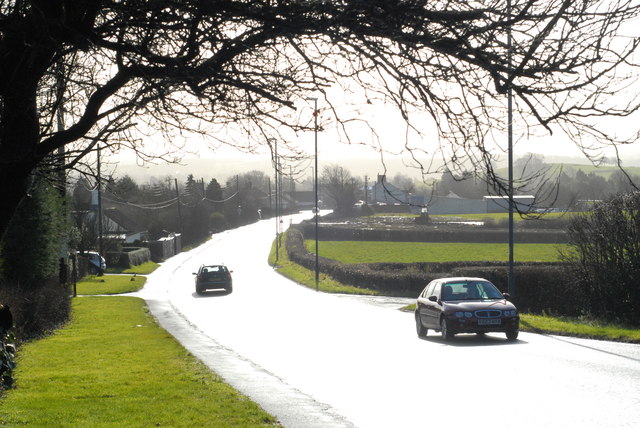
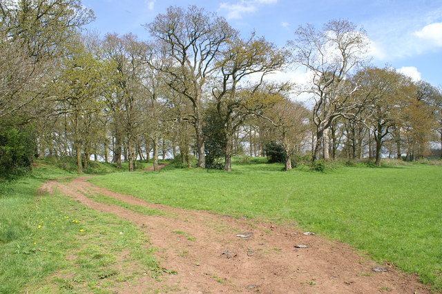
Folly Wood Images

Images are sourced within 2km of 51.344314/-2.5635482 or Grid Reference ST6060. Thanks to Geograph Open Source API. All images are credited.

The end of the Byway The byway ends with a broad muddy area in front of the double gated field entrance.
The end of the Byway
The byway ends with a broad muddy area in front of the double gated field entrance.
Well used Byway This short section of 'Byway Open to All Traffic' provides access to fields for large tractors and other vehicles.
Well used Byway
This short section of 'Byway Open to All Traffic' provides access to fields for large tractors and other vehicles.
Featherbed Lane, Clutton Leading to nowhere in particular.
Featherbed Lane, Clutton
Leading to nowhere in particular.
A37 at Clutton The sun had just come out after a short sharp rainstorm. The reflections on the wet road made this tricky to photograph (taking pictures like this makes you realise just how sophisticated the human eye is!), but I like the result.
A37 at Clutton
The sun had just come out after a short sharp rainstorm. The reflections on the wet road made this tricky to photograph (taking pictures like this makes you realise just how sophisticated the human eye is!), but I like the result.
Pond in Castle Wood Behind are castle earthworks
Pond in Castle Wood
Behind are castle earthworks
Stowey Castle The remains are in the wood at the end of the ridge. It may be a medieval ringwork or the remains of a Norman Mote.
Stowey Castle
The remains are in the wood at the end of the ridge. It may be a medieval ringwork or the remains of a Norman Mote.
The pond below Stowey Castle Wood Autumn sunlight provides pleasing reflections in this inconspicuous pond.
The pond below Stowey Castle Wood
Autumn sunlight provides pleasing reflections in this inconspicuous pond.
Wooded valley below Stowey Castle
Burbling stream beside Stowey Churchyard
Duckpond with duckhouse at Stowey Manor
Magnificent Oak Tree in autumn colours reflected in Stowey Manor duckpond
Field Near Temple Cloud
Temple Cloud  Cricket Pavilion
Temple Cloud Cricket Pavilion
Methodist Church, Stanton Drew Boarded up and disused.
Methodist Church, Stanton Drew
Boarded up and disused.
Cottages at Stowey Bottom
Road junction, near Stowey The road leading away from the viewpoint heads north to Stowey. The lane to the left goes to White Cross. The signpost is pre-Worboys.
Road junction, near Stowey
The road leading away from the viewpoint heads north to Stowey. The lane to the left goes to White Cross. The signpost is pre-Worboys.
Show me another place!

Folly Wood is located at Grid Ref: ST6060 (Lat: 51.344314, Lng: -2.5635482)

Unitary Authority: Bath and North East Somerset

Police Authority: Avon and Somerset

What 3 Words

///submerged.chambers.cornfield. Near Clutton, Somerset

Related Wikis

Folly Farm, Somerset

Folly Farm is a traditionally managed working farm and nature reserve run by the Avon Wildlife Trust. It is located between Stowey, Clutton and Stanton...
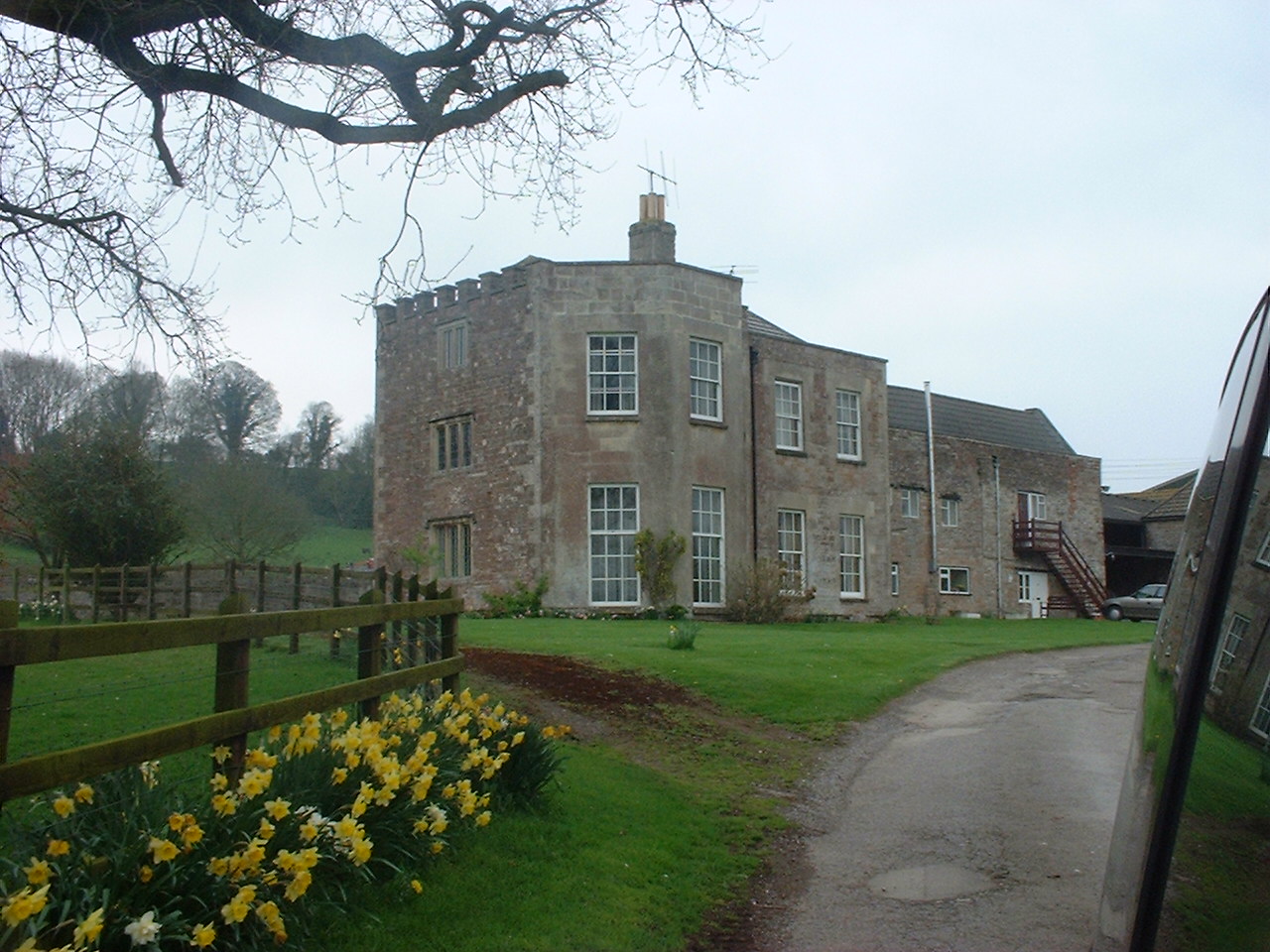
Sutton Court

Sutton Court is an English house remodelled by Thomas Henry Wyatt in the 1850s from a manor house built in the 15th and 16th centuries around a 14th-century...

Stowey

Stowey is a small village and former civil parish, now in the parish of Stowey Sutton, in the Bath and North East Somerset district, in the ceremonial...

Church of St Nicholas and the Blessed Virgin Mary, Stowey

The Anglican Parish Church of St Nicholas and the Blessed Virgin Mary at Stowey within the English county of Somerset dates from the 13th century. It is...

Stowey-Sutton

Stowey-Sutton is a civil parish in the Bath and North East Somerset District of Somerset, England within the Chew Valley. The parish contains the villages...

Cholwell, Cameley

Cholwell is a historic hamlet and manor in the parish of Cameley, Somerset, England. The manor house, Cholwell House, was rebuilt in 1855 by William Rees...

Clutton Rural District

Clutton was a rural district in Somerset, England, from 1894 to 1974. It was created in 1894 under the Local Government Act 1894 as a successor to the...

Clutton, Somerset

Clutton is a village and civil parish on the eastern edge of the affluent Chew Valley, close to the Cam Brook river, in the Bath and North East Somerset...

Nearby Amenities

Located within 500m of 51.344314,-2.5635482
Passing Place
Lat/Long: 51.3421434/-2.5688114
Barrier: kissing_gate
Lat/Long: 51.3436394/-2.560754
Power: pole
Lat/Long: 51.3431914/-2.5700417
Power: pole
Lat/Long: 51.3426125/-2.5691217
Power: pole
Lat/Long: 51.3422095/-2.5684149
Information: guidepost
Tourism: information
Lat/Long: 51.3432262/-2.5652195
Bench
Backrest: no
Lat/Long: 51.3432036/-2.5651519
Bench
Backrest: no
Lat/Long: 51.3432349/-2.5700191
Thyme Chef Ltd
Addr City: Bristol
Addr Postcode: BS39 4DW
Craft: caterer
Fhrs Id: 759188
Website: http://www.thymechef.co.uk/index.html
Lat/Long: 51.3419106/-2.5646549
Charging Station
Lat/Long: 51.341854/-2.5643608
Toilets
Lat/Long: 51.3420827/-2.5646478
Shelter
Woodland Classroom
Lat/Long: 51.3416026/-2.5612535
Barrier: cattle_grid
Lat/Long: 51.3420895/-2.568328
Information: board
Tourism: information
Lat/Long: 51.3421748/-2.5657851
Information: board
Tourism: information
Lat/Long: 51.342086/-2.5642616
Bench
Lat/Long: 51.341807/-2.5619736
Bench
Lat/Long: 51.3413891/-2.5606207
Bench
Lat/Long: 51.3408017/-2.5594148
Power: pole
Lat/Long: 51.3460631/-2.5572047
Power: pole
Lat/Long: 51.3455668/-2.5576612
Power: pole
Lat/Long: 51.3450566/-2.557645
Bench
Lat/Long: 51.3418474/-2.5630989
Bench
Lat/Long: 51.3408446/-2.5604409
Bench
Lat/Long: 51.3411915/-2.5615272
The data included in this document is from www.openstreetmap.org. The data is made available under ODbL.

Have you been to Folly Wood?

Leave your review of Folly Wood below (or comments, questions and feedback).