Ash Bed
Wood, Forest in Somerset South Somerset
England
Ash Bed

Ash Bed is a wood located in the county of Somerset, England. It is situated in the Mendip Hills, a range of limestone hills known for their natural beauty and rich biodiversity. The wood is part of the larger Ash Bed and Longwood Site of Special Scientific Interest (SSSI), which covers an area of approximately 25 hectares.
Ash Bed is predominantly made up of ash trees, hence its name. These tall deciduous trees create a dense canopy that provides shade and shelter for a variety of plant and animal species. The wood is also home to a diverse range of flora, including bluebells, wood sorrel, and wild garlic, which create a vibrant display of color during the spring months.
The wood attracts a wide range of bird species, including woodpeckers, thrushes, and warblers, making it a popular spot for birdwatching enthusiasts. Other wildlife such as badgers, foxes, and deer can also be spotted in the area, adding to the wood's natural charm.
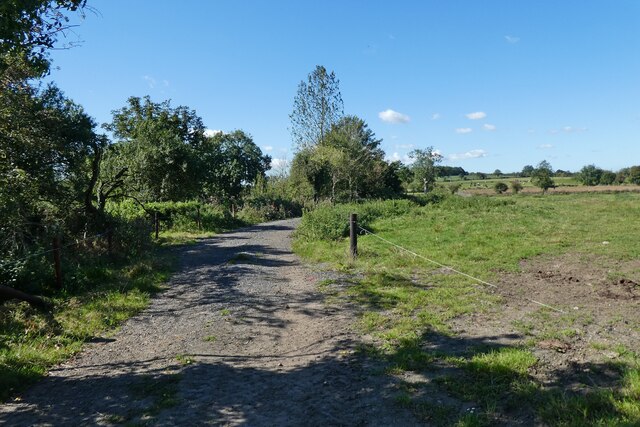
Ash Bed offers various walking trails, allowing visitors to explore the woods at their own pace. The trails wind through the woodland, offering glimpses of picturesque landscapes and an opportunity to immerse oneself in nature. It is a peaceful and tranquil place, providing an escape from the hustle and bustle of urban life.
Overall, Ash Bed in Somerset offers a serene and enchanting woodland experience, showcasing the beauty of nature in the heart of the Mendip Hills.
If you have any feedback on the listing, please let us know in the comments section below.
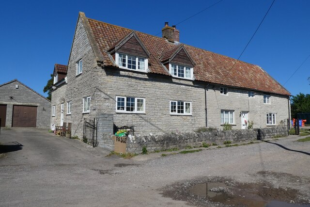
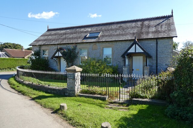
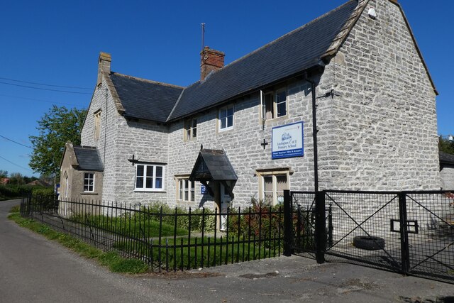
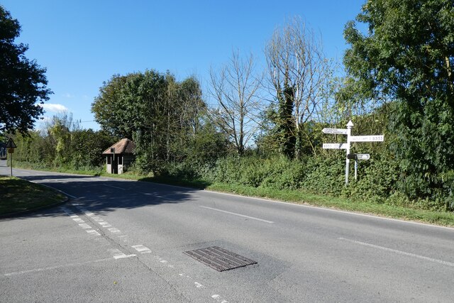
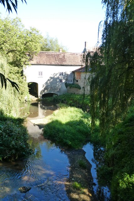
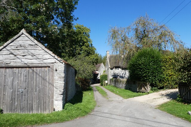
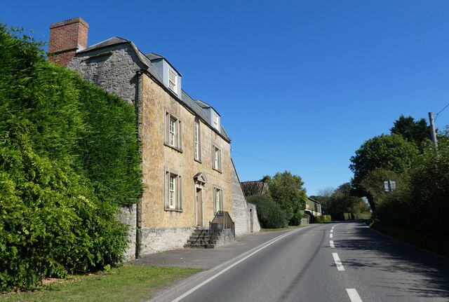
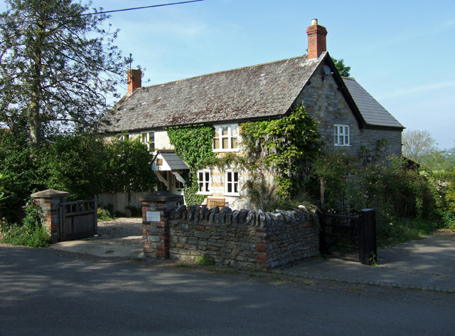
Ash Bed Images
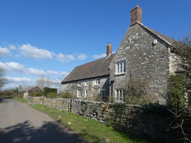
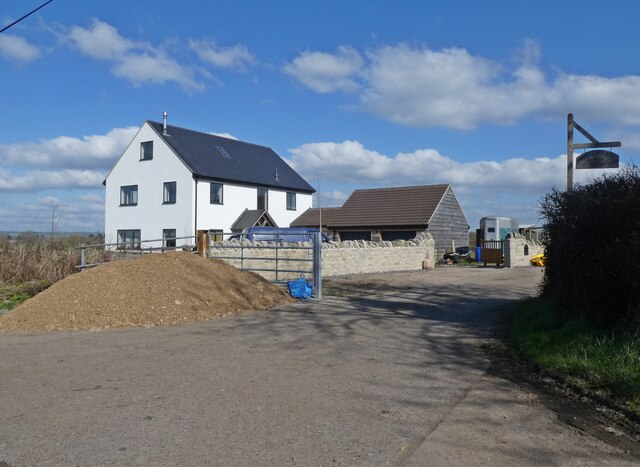
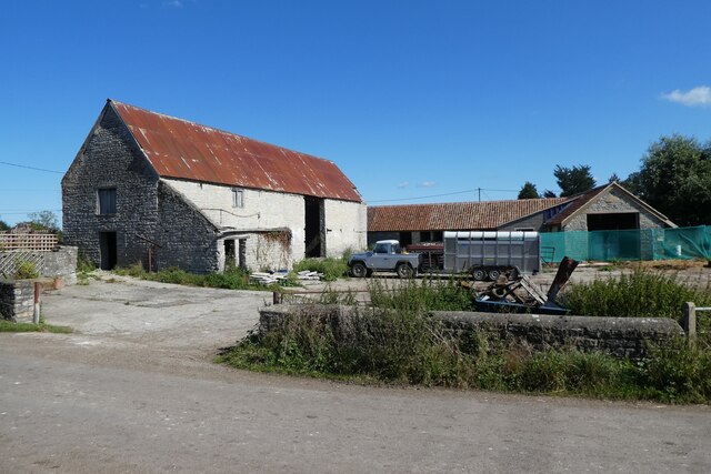
Images are sourced within 2km of 51.080558/-2.5603505 or Grid Reference ST6031. Thanks to Geograph Open Source API. All images are credited.

Ash Bed is located at Grid Ref: ST6031 (Lat: 51.080558, Lng: -2.5603505)
Administrative County: Somerset
District: South Somerset
Police Authority: Avon and Somerset
What 3 Words
///dusted.leaflet.indulgent. Near Castle Cary, Somerset
Nearby Locations
Related Wikis

Alford, Somerset
Alford is a village and parish on the River Alham, in Somerset, England, situated 8 miles (12.9 km) south of Shepton Mallet and two miles west of Castle...
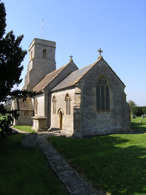
Church of All Saints, Alford
The Church of All Saints which is next to the River Brue in Alford, Somerset, England, dates from the 15th century, with minor 19th-century restoration...
Church of St Thomas of Canterbury, Lovington
The Church of St Thomas of Canterbury in Lovington, Somerset, England, was built in the 13th century. It is a Grade II* listed building. == History... ==

River Alham
The River Alham flows through Somerset, England. It rises at Higher Alham above Batcombe and runs through Alhampton, Milton Clevedon and joins the River...
Lovington, Somerset
Lovington is a village and civil parish in Somerset, England, situated 3 miles (4.8 km) south west of Castle Cary, between the River Brue and River Cary...

North Barrow
North Barrow is a village and civil parish 8 miles (13 km) to the north-east of Ilchester in the South Somerset district of Somerset, England. == History... ==

Church of All Saints, Castle Cary
All Saints Church in Castle Cary in the English county of Somerset dates from 1470 and is notable for its high steeple. It is a Grade II* listed building...
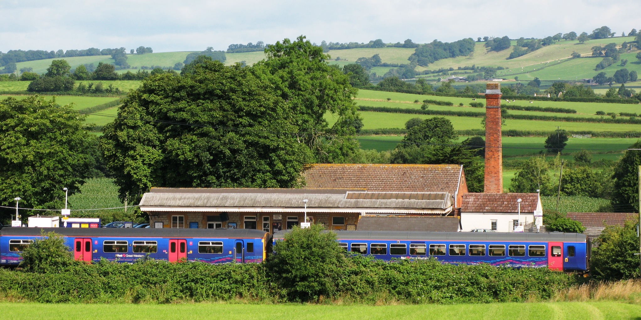
Castle Cary railway station
Castle Cary railway station is on the Reading to Taunton line 115.25 miles (185.48 km) south west of London Paddington and the Bristol to Weymouth line...
Nearby Amenities
Located within 500m of 51.080558,-2.5603505Have you been to Ash Bed?
Leave your review of Ash Bed below (or comments, questions and feedback).