Mansmead Copse
Wood, Forest in Somerset South Somerset
England
Mansmead Copse

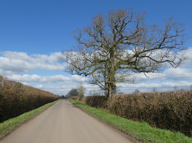
Mansmead Copse is a quaint wood located in Somerset, England. Covering an area of approximately 50 acres, it is nestled in the heart of the beautiful countryside, offering visitors a peaceful retreat from the hustle and bustle of everyday life.
The copse is predominantly made up of deciduous trees, such as oak, beech, and birch, which provide a stunning display of vibrant colors during the autumn months. The dense canopy of the trees creates a cool and shady atmosphere, perfect for leisurely walks or picnics on hot summer days.
The woodland floor is adorned with a diverse array of wildflowers and plants, including bluebells, primroses, and foxgloves, attracting a variety of wildlife throughout the year. Birdwatchers can spot a range of species, such as woodpeckers, nuthatches, and tawny owls, while lucky visitors may even catch a glimpse of elusive deer or foxes.
There are several well-maintained footpaths that wind their way through the copse, allowing visitors to explore the wood at their own pace. These paths are suitable for all ages and abilities, making Mansmead Copse an accessible destination for families and nature enthusiasts alike.
The copse also offers a designated picnic area with benches, where visitors can relax and enjoy the peaceful surroundings. Additionally, there is a small car park nearby, providing convenient access for those arriving by car.
Overall, Mansmead Copse is a picturesque woodland retreat, offering a tranquil escape into nature for visitors seeking solace and natural beauty.
If you have any feedback on the listing, please let us know in the comments section below.
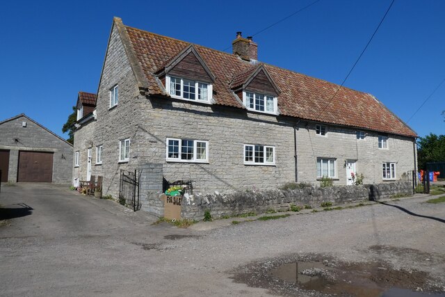
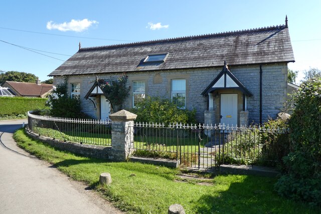
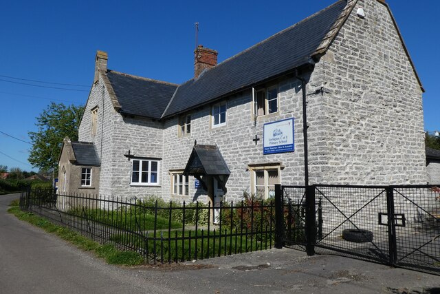
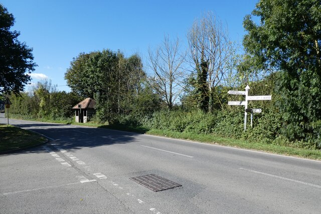
Mansmead Copse Images
Images are sourced within 2km of 51.077829/-2.5649426 or Grid Reference ST6031. Thanks to Geograph Open Source API. All images are credited.

Mansmead Copse is located at Grid Ref: ST6031 (Lat: 51.077829, Lng: -2.5649426)
Administrative County: Somerset
District: South Somerset
Police Authority: Avon and Somerset
What 3 Words
///hamsters.heat.birds. Near Castle Cary, Somerset
Nearby Locations
Related Wikis

Alford, Somerset
Alford is a village and parish on the River Alham, in Somerset, England, situated 8 miles (12.9 km) south of Shepton Mallet and two miles west of Castle...
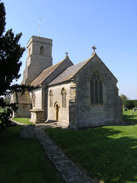
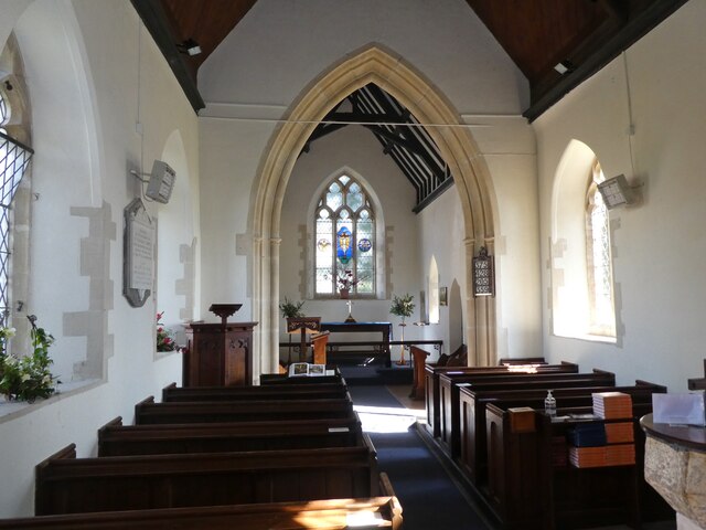
Church of St Thomas of Canterbury, Lovington
The Church of St Thomas of Canterbury in Lovington, Somerset, England, was built in the 13th century. It is a Grade II* listed building. == History... ==
Lovington, Somerset
Lovington is a village and civil parish in Somerset, England, situated 3 miles (4.8 km) south west of Castle Cary, between the River Brue and River Cary...
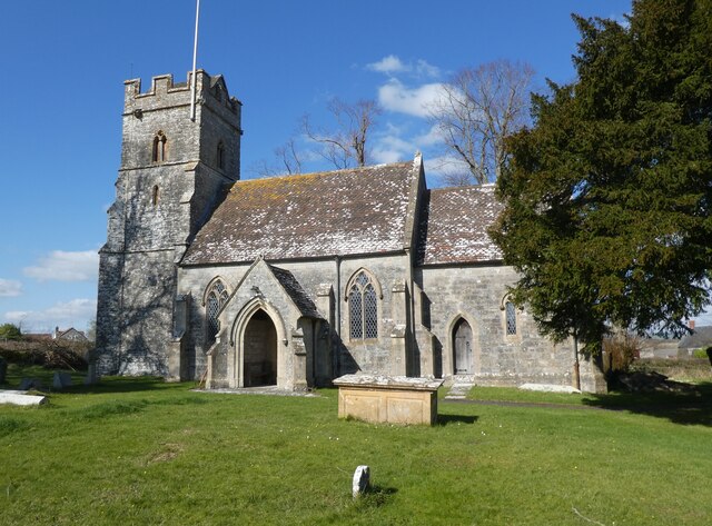
Church of All Saints, Alford
The Church of All Saints which is next to the River Brue in Alford, Somerset, England, dates from the 15th century, with minor 19th-century restoration...

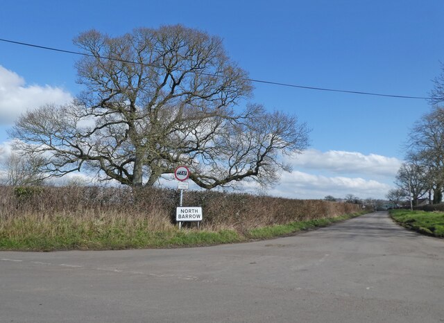
North Barrow
North Barrow is a village and civil parish 8 miles (13 km) to the north-east of Ilchester in the South Somerset district of Somerset, England. == History... ==

River Alham
The River Alham flows through Somerset, England. It rises at Higher Alham above Batcombe and runs through Alhampton, Milton Clevedon and joins the River...

Church of St Peter, South Barrow
The Anglican Church of St Peter in South Barrow, Somerset, England was built in the 14th century. It is a Grade II* listed building. == History == The...

Church of the Blessed Virgin Mary, East Lydford
The Church of the Blessed Virgin Mary is a former Church of England church in East Lydford, Somerset, England. Designed by Benjamin Ferrey, it was built...
Nearby Amenities
Located within 500m of 51.077829,-2.5649426Have you been to Mansmead Copse?
Leave your review of Mansmead Copse below (or comments, questions and feedback).