Alford
Civil Parish in Somerset South Somerset
England
Alford
Alford is a civil parish located in the county of Somerset, in the southwest of England. It is situated within the South Somerset district, approximately 5 miles northeast of the town of Castle Cary. The parish covers an area of around 1.5 square miles and is home to a population of approximately 200 residents.
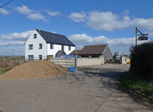
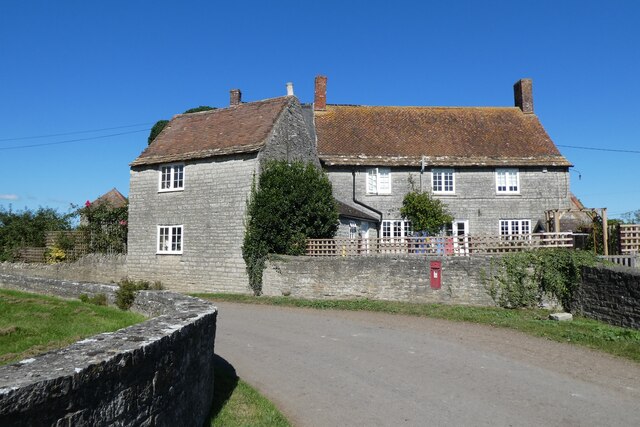
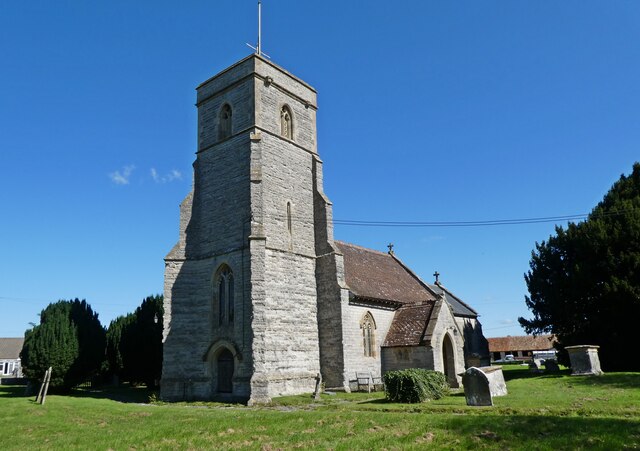
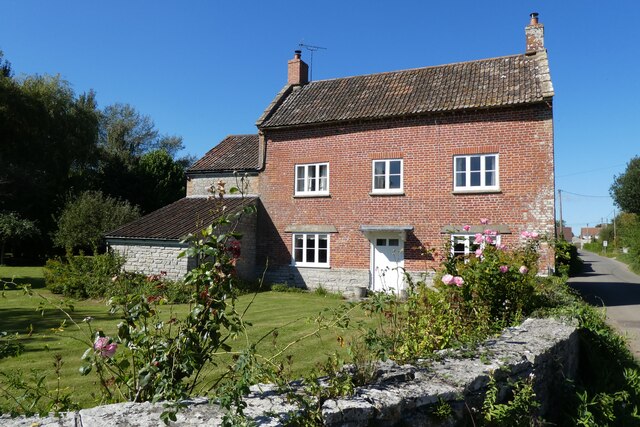
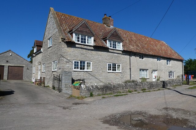
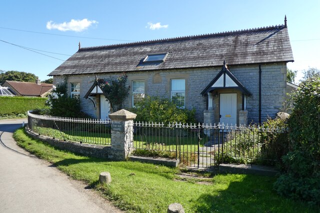
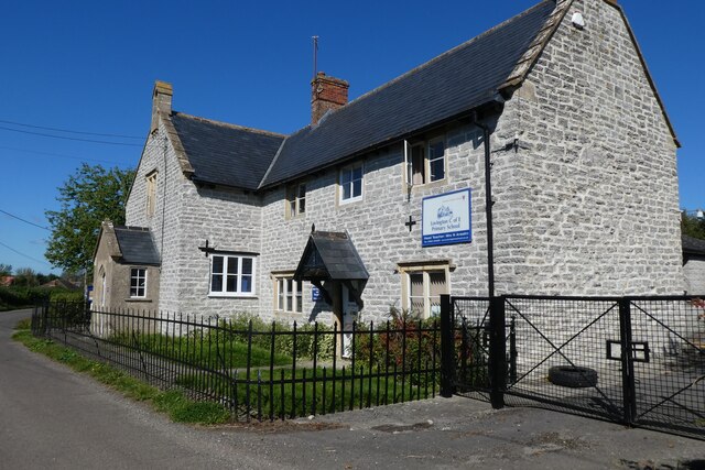
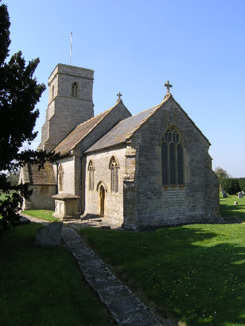
The village of Alford is small and rural, characterized by its picturesque countryside and charming cottages. It has a close-knit community feel and offers a peaceful and tranquil environment for its residents. The centerpiece of the village is the Grade II listed St. Mary's Church, which dates back to the 12th century and is known for its architectural beauty.
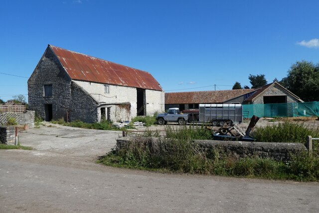
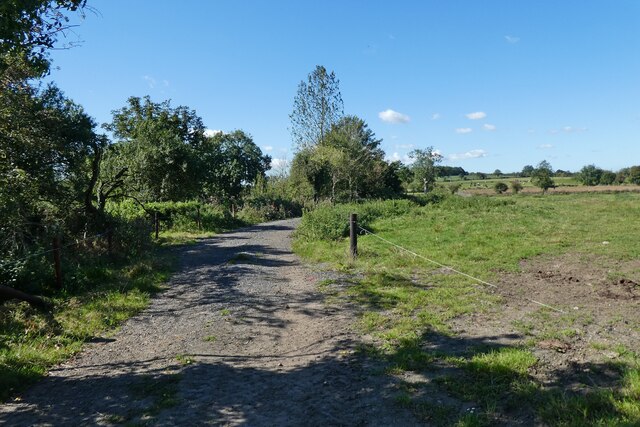
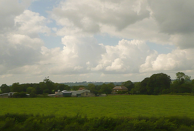
Agriculture has historically been an important industry in Alford, and farming continues to play a significant role in the local economy. The surrounding fields are mainly used for grazing livestock and growing crops, contributing to the area's scenic beauty.
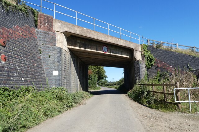
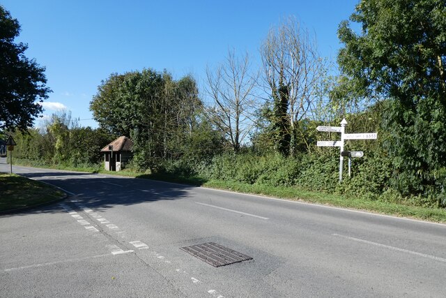
Despite its small size, Alford is well-connected to nearby towns and cities. The A371 road runs through the parish, providing easy access to Castle Cary and the wider road network. The nearest railway station is located in Castle Cary, offering regular services to destinations including Bristol, Exeter, and London.
In summary, Alford is a charming civil parish in Somerset, known for its rural beauty, tight-knit community, and historical church. It provides a peaceful and idyllic countryside living while maintaining good transport links to nearby towns and cities.
If you have any feedback on the listing, please let us know in the comments section below.
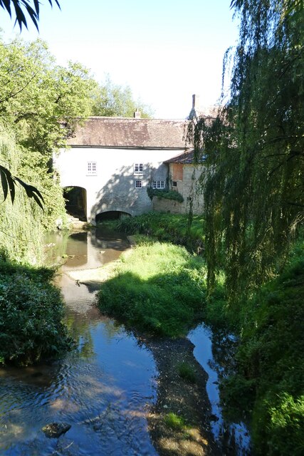
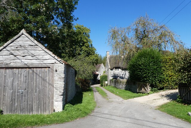
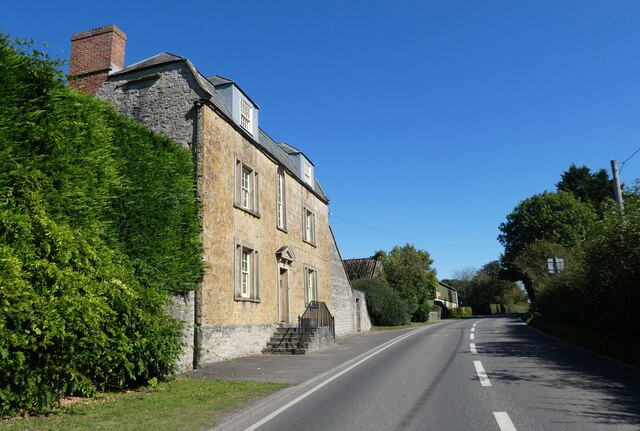
Alford Images
Images are sourced within 2km of 51.08352/-2.560888 or Grid Reference ST6031. Thanks to Geograph Open Source API. All images are credited.


Alford is located at Grid Ref: ST6031 (Lat: 51.08352, Lng: -2.560888)
Administrative County: Somerset
District: South Somerset
Police Authority: Avon and Somerset
What 3 Words
///cornfield.picture.united. Near Castle Cary, Somerset
Nearby Locations
Related Wikis

Alford, Somerset
Alford is a village and parish on the River Alham, in Somerset, England, situated 8 miles (12.9 km) south of Shepton Mallet and two miles west of Castle...
Church of All Saints, Alford
The Church of All Saints which is next to the River Brue in Alford, Somerset, England, dates from the 15th century, with minor 19th-century restoration...

River Alham
The River Alham flows through Somerset, England. It rises at Higher Alham above Batcombe and runs through Alhampton, Milton Clevedon and joins the River...
Church of St Thomas of Canterbury, Lovington
The Church of St Thomas of Canterbury in Lovington, Somerset, England, was built in the 13th century. It is a Grade II* listed building. == History... ==
Lovington, Somerset
Lovington is a village and civil parish in Somerset, England, situated 3 miles (4.8 km) south west of Castle Cary, between the River Brue and River Cary...

North Barrow
North Barrow is a village and civil parish 8 miles (13 km) to the north-east of Ilchester in the South Somerset district of Somerset, England. == History... ==

Church of All Saints, Castle Cary
All Saints Church in Castle Cary in the English county of Somerset dates from 1470 and is notable for its high steeple. It is a Grade II* listed building...
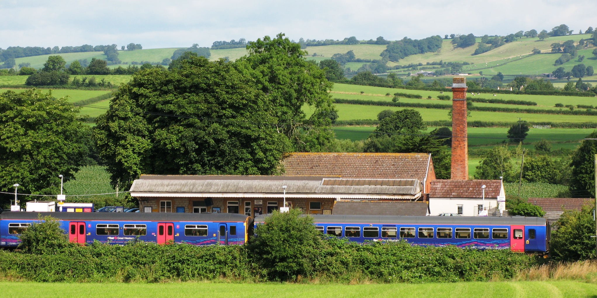
Castle Cary railway station
Castle Cary railway station is on the Reading to Taunton line 115.25 miles (185.48 km) south west of London Paddington and the Bristol to Weymouth line...
Related Videos
No dig garden mid-winter, temperate climate #nodig #gardening
Today was sunny, usually it's cloudy here. Often above freezing and sometimes below. Plants grow little in winter so we prepare ...

Evening tour, no dig market garden garden mid August
The no dig garden of Charles Dowding in Somerset UK. Every week we sell around £900 value of vegetables. The area is 1400 ...

Emir melons finally ripen, no dig polytunnel August 1st
Sown 3rd April, transplanted five weeks later. Now it's a happy moment! The melons have been this large for three weeks, then ...

Centurion Travel KPC211P
Martin Spiller's Bedford YRT / Duple KPC 211P is seen here leaving Castle Cary Station in June 2019 whilst operating on Worthy ...
Nearby Amenities
Located within 500m of 51.08352,-2.560888Have you been to Alford?
Leave your review of Alford below (or comments, questions and feedback).