Vallets Wood
Wood, Forest in Gloucestershire Forest of Dean
England
Vallets Wood
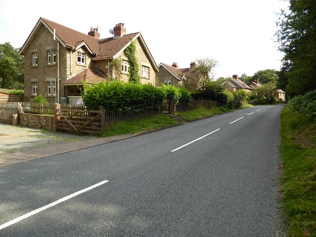
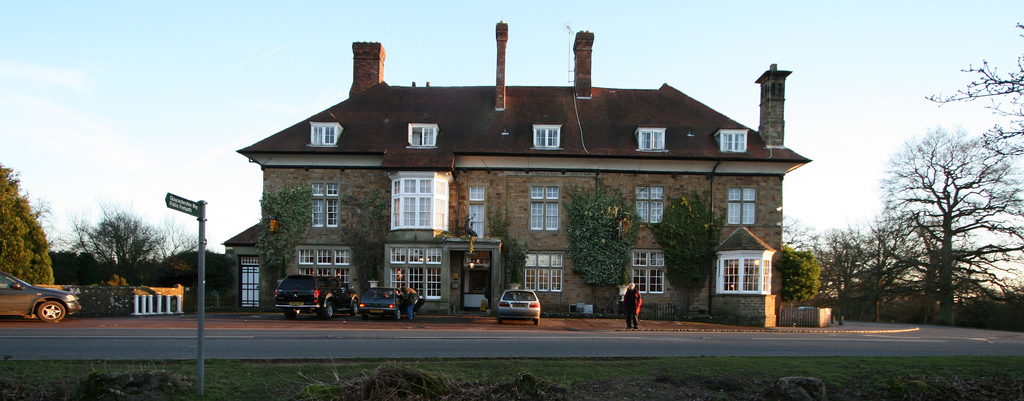
Vallets Wood is a picturesque woodland located in the county of Gloucestershire, England. Covering an area of approximately 100 acres, it is nestled in the heart of the Forest of Dean, renowned for its natural beauty and rich biodiversity.
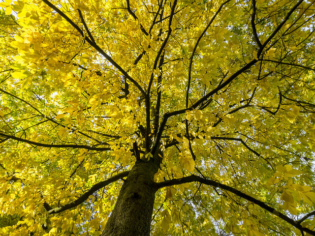
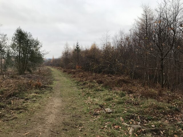
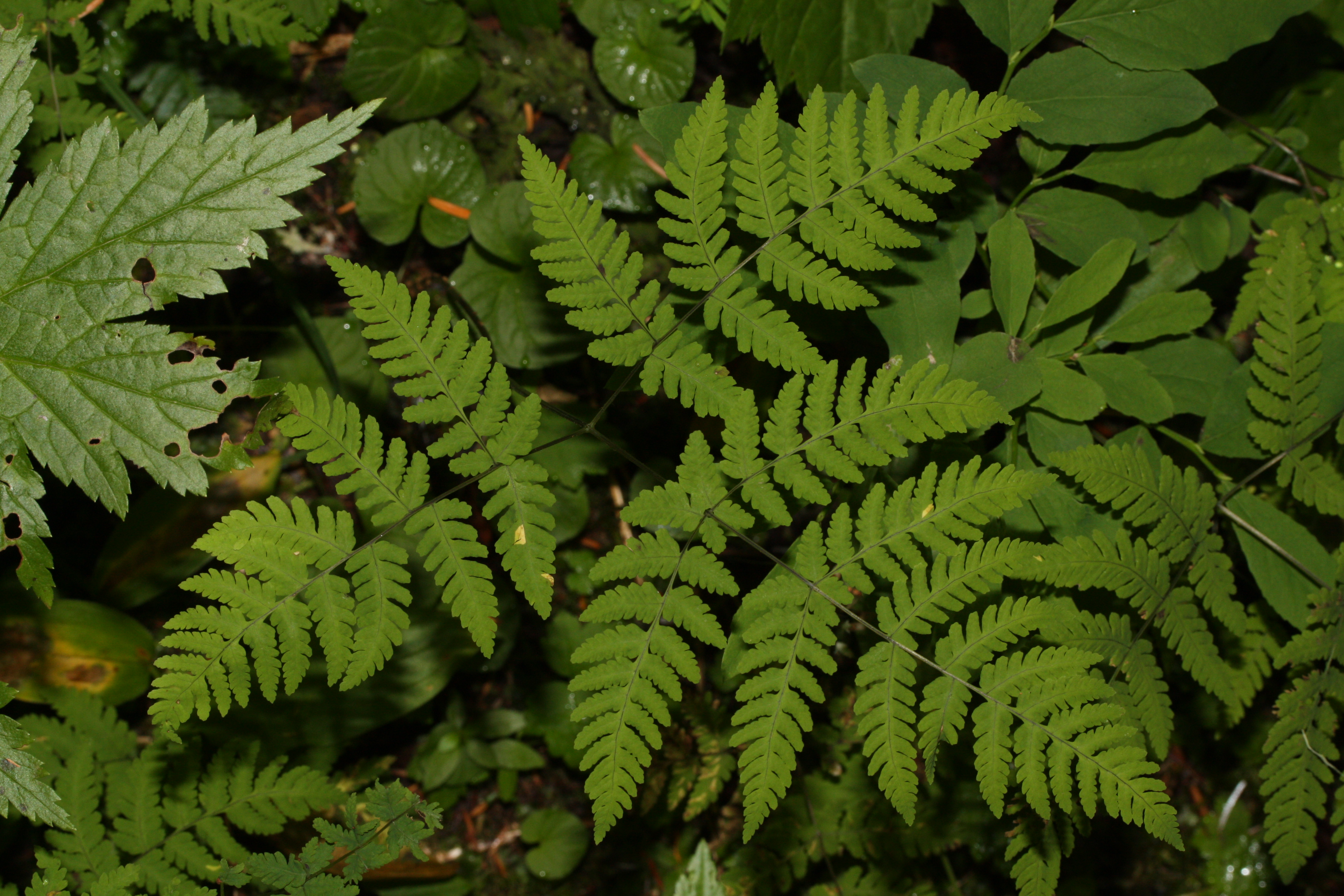
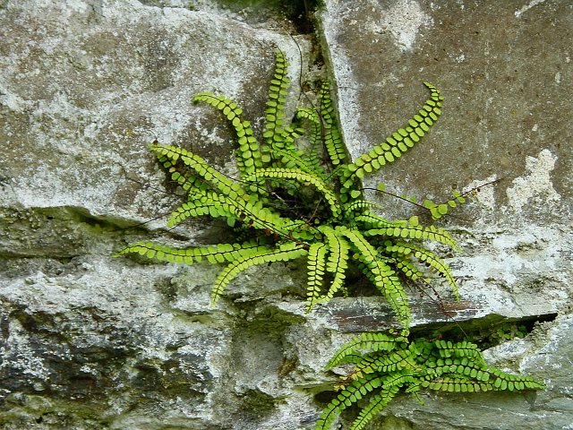
The wood is predominantly composed of native broadleaf trees, including oak, beech, and birch, which create a dense canopy overhead, providing shade and shelter for a variety of wildlife. The forest floor is carpeted with a vibrant array of wildflowers, such as bluebells and primroses, which bloom in the spring, adding a burst of color to the woodland.
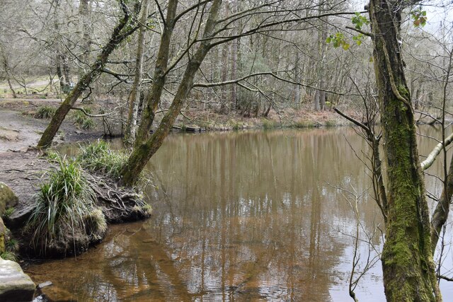
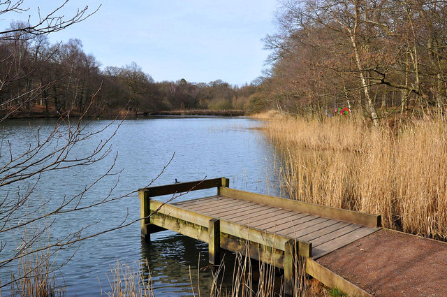
Vallets Wood is intersected by a meandering stream, which further enhances its scenic charm. The gentle babbling of the water attracts a diverse range of bird species, including kingfishers, herons, and woodpeckers, making it a haven for birdwatchers and nature enthusiasts.
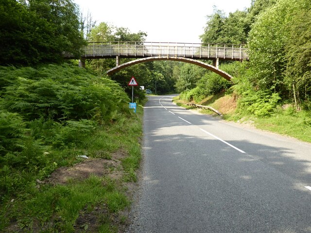
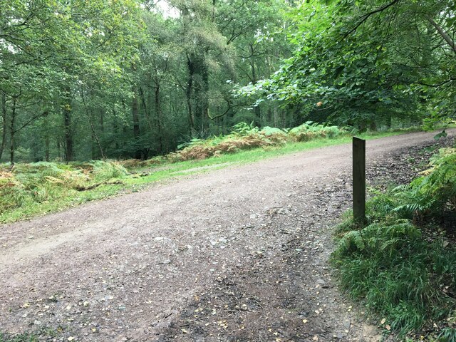
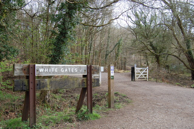
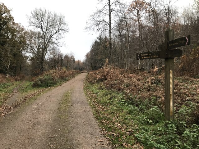
The woodland offers numerous walking trails, allowing visitors to explore its beauty and tranquility. These pathways wind through the trees, providing glimpses of enchanting glades and secluded clearings. The wood is also home to a variety of wildlife, including deer, foxes, and squirrels, which can often be spotted darting amongst the undergrowth.
Vallets Wood is a popular destination for locals and tourists alike, offering a peaceful retreat from the hustle and bustle of everyday life. Its natural beauty and diverse ecosystem make it a haven for those seeking solace in nature, and a testament to the stunning landscapes found in the Gloucestershire countryside.
If you have any feedback on the listing, please let us know in the comments section below.
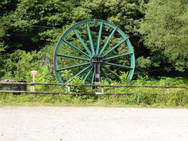
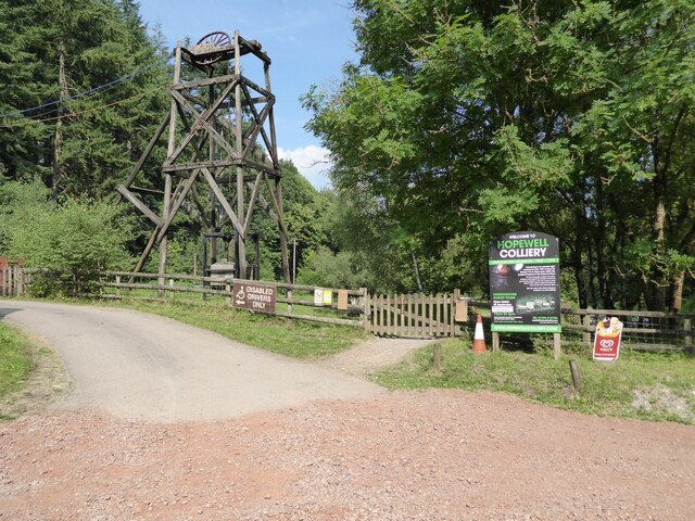
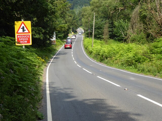
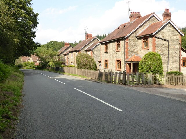
Vallets Wood Images
Images are sourced within 2km of 51.805273/-2.5702231 or Grid Reference SO6012. Thanks to Geograph Open Source API. All images are credited.


Vallets Wood is located at Grid Ref: SO6012 (Lat: 51.805273, Lng: -2.5702231)
Administrative County: Gloucestershire
District: Forest of Dean
Police Authority: Gloucestershire
What 3 Words
///perfume.outlawing.rear. Near Coleford, Gloucestershire
Nearby Locations
Related Wikis

Speech House Road railway station
Speech House Road railway station is a disused railway station opened by the former Severn and Wye Railway in 1875, it remained open for 88 years until...

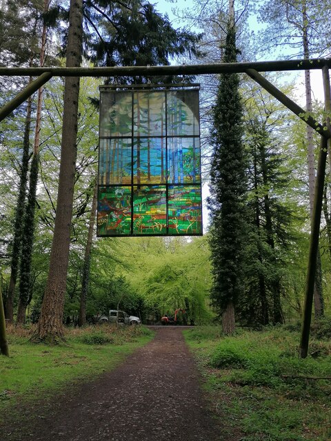
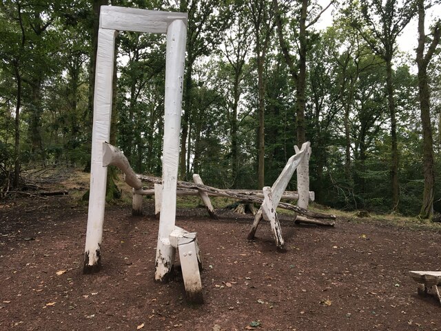
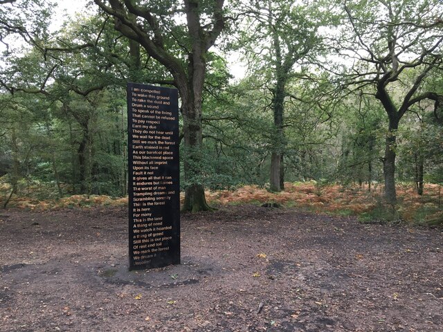
Forest of Dean Sculpture Trail
The Forest of Dean Sculpture Trail is a point of interest in the Forest of Dean in the county of Gloucestershire, England. The Sculpture Trail links several...
Speech House
The Speech House was the administrative building of the Forest of Dean in Gloucestershire, England, lying at the centre of the forest on the road from...
Wimberry Quarries
Wimberry Quarries (grid reference SO594121) is a 2-hectare (4.9-acre) nature reserve in Gloucestershire in the Forest of Dean.The site is held under agreement...
Cannop Ponds
Cannop Ponds (grid reference SO608106) are two large ponds, just north of Parkend in the Forest of Dean, Gloucestershire, England. The ponds, and surrounding...

Speech House Oaks
Speech House Oaks (grid reference SO622123) is a 16.26-hectare (40.2-acre) biological Site of Special Scientific Interest in Gloucestershire, notified...

Edge End, Gloucestershire
Edge End is a small hamlet in west Gloucestershire, England. == Location and amenities == Edge End is about 1.5 miles NW of Coleford and about 1 mile north...
Spion Kop Quarry
Spion Kop Quarry (grid reference SO598103) is a 0.7-hectare (1.7-acre) nature reserve in Gloucestershire in the Forest of Dean.The site is managed by the...
Nearby Amenities
Located within 500m of 51.805273,-2.5702231Have you been to Vallets Wood?
Leave your review of Vallets Wood below (or comments, questions and feedback).