Slopes Coppice

Wood, Forest in Shropshire

England

Slopes Coppice

The Eagles, Cressage
The Eagles, Cressage Credit: Chris Whippet

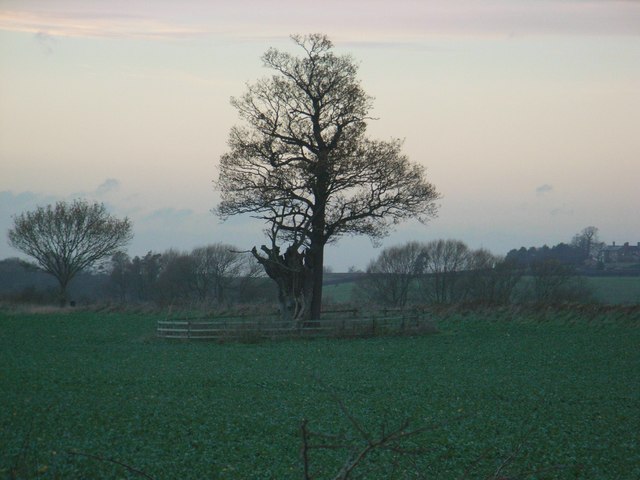
Slopes Coppice, located in the scenic county of Shropshire, is a charming and enchanting wood nestled in the heart of the countryside. Spanning over an area of approximately 100 acres, this forested area boasts a rich tapestry of flora and fauna, making it a haven for nature enthusiasts and wildlife lovers alike.

The wood is characterized by its gentle slopes and undulating terrain, which adds to its allure and provides breathtaking views of the surrounding landscape. It primarily consists of native deciduous trees such as oak, beech, and birch, which create an exquisite canopy during the summer months and offer a stunning display of colors in autumn.

The forest floor is carpeted with a variety of wildflowers, ferns, and mosses, adding to the overall beauty and biodiversity of Slopes Coppice. It is also home to a diverse range of wildlife species including deer, foxes, badgers, and an array of bird species, making it an ideal location for birdwatching and wildlife spotting.

Visitors to Slopes Coppice can explore the wood through a network of well-maintained footpaths and trails, allowing them to immerse themselves in the serene surroundings and discover the hidden treasures that lie within. The wood also offers picnic areas and benches for those looking to relax and soak in the tranquil atmosphere.

Slopes Coppice is a popular destination for nature walks, family outings, and photography enthusiasts, providing a delightful escape from the hustle and bustle of everyday life. Its natural beauty and peaceful ambiance make it a must-visit destination for anyone seeking to reconnect with nature in the stunning Shropshire countryside.

If you have any feedback on the listing, please let us know in the comments section below.

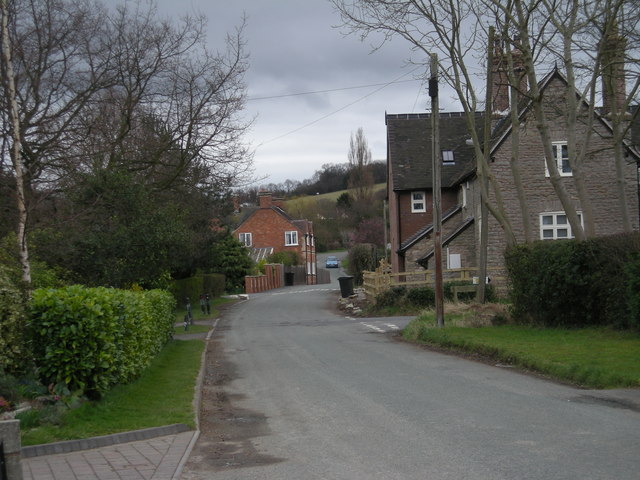
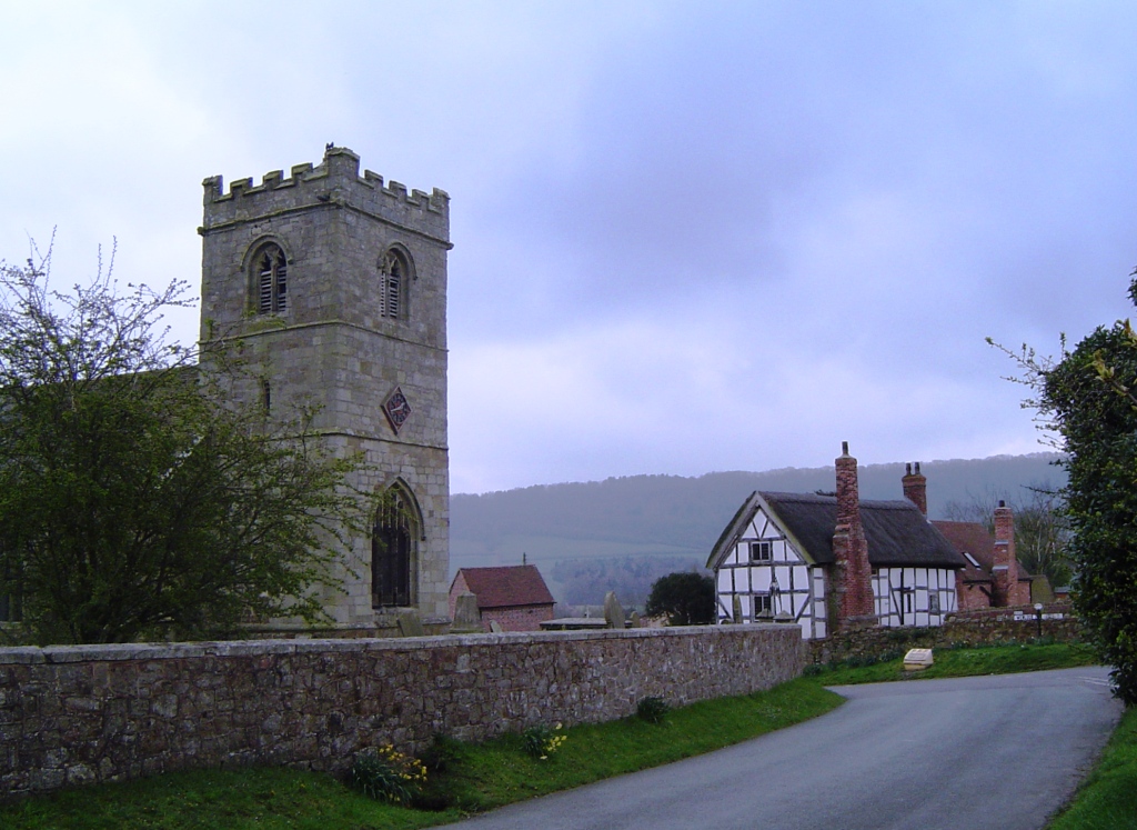
Slopes Coppice Images

Images are sourced within 2km of 52.624029/-2.5807654 or Grid Reference SJ6003. Thanks to Geograph Open Source API. All images are credited.

The Eagles, Cressage
Junction in Harley The former A458 Shrewsbury to Bridgnorth road forms the main route through Harley (now bypassed to the east) - this is part of that road.
Junction in Harley
The former A458 Shrewsbury to Bridgnorth road forms the main route through Harley (now bypassed to the east) - this is part of that road.
A458 at the southern junction for Harley
A458 at the junction for Wigwig and Homer
A458 approaching the northern junction for Harley
Northbound layby on the A458
Southbound layby on the A458
Entering Cressage from the south
A458 in Cressage
A458 in Cressage
The Eagles pub, Cressage
Cressage - main crossroads and war memorial The street light intrudes into an otherwise elegant setting for the village's memorial.
Cressage - main crossroads and war memorial
The street light intrudes into an otherwise elegant setting for the village's memorial.
The southern side of Cressage Taken from the main track to New Buildings Farm
The southern side of Cressage
Taken from the main track to New Buildings Farm
Barns and paraphernalia at New Buildings Farm The items lying around included several pallets of reclaimed bricks - it's not clear whether these represent the forerunners of the New Buildings at the farm, or whether they're for making new buildings.
There were a number of free-range chickens running around the yard, and Daft Dog was VERY interested in those.
Barns and paraphernalia at New Buildings Farm
The items lying around included several pallets of reclaimed bricks - it's not clear whether these represent the forerunners of the New Buildings at the farm, or whether they're for making new buildings. There were a number of free-range chickens running around the yard, and Daft Dog was VERY interested in those.
New Buildings Farm The large barn on the right houses a good flock of free-range chickens, which were enjoying the adjacent field on this particular morning.
New Buildings Farm
The large barn on the right houses a good flock of free-range chickens, which were enjoying the adjacent field on this particular morning.
Bridleway from Belswardyne to Harley Now mostly a farm track, but technically a bridleway.
Bridleway from Belswardyne to Harley
Now mostly a farm track, but technically a bridleway.
Wheat and Oilseed rape in fields near Belswardyne Hall The Wrekin features large in many views from this area.
Wheat and Oilseed rape in fields near Belswardyne Hall
The Wrekin features large in many views from this area.
A footpath on the SW side of Cressage The path is reasonably well marked through here, but horses in the field have churned the mud up somewhat in the recent rain.
A footpath on the SW side of Cressage
The path is reasonably well marked through here, but horses in the field have churned the mud up somewhat in the recent rain.
Traffic jam, Cressage The A458 to the north was closed due to improvements.
Traffic jam, Cressage
The A458 to the north was closed due to improvements.
Show me another place!

Slopes Coppice is located at Grid Ref: SJ6003 (Lat: 52.624029, Lng: -2.5807654)

Unitary Authority: Shropshire

Police Authority: West Mercia

What 3 Words

///blackmail.messy.plugged. Near Harley, Shropshire

Related Wikis

Sheinton

Sheinton is a small rural village and civil parish just outside Telford, and within Shropshire. It is situated on the south bank of the River Severn opposite...

Homer, Shropshire

Homer is a small village in Shropshire, England, north of the town of Much Wenlock. The name first appears in the 14th century as "Honemor". Originally...

Cressage

Cressage is a village and civil parish in Shropshire, England. It is located 4 miles (6.4 km) north-west of the nearest town Much Wenlock and 8 miles...

Harley, Shropshire

Harley is a village and civil parish in the English county of Shropshire. The population of the civil parish at the 2011 census was 163. == Location... ==

Nearby Amenities

Located within 500m of 52.624029,-2.5807654
Waterway: weir
Lat/Long: 52.6271521/-2.5784412
The data included in this document is from www.openstreetmap.org. The data is made available under ODbL.

Have you been to Slopes Coppice?

Leave your review of Slopes Coppice below (or comments, questions and feedback).