Ruddle Marsh
Coastal Marsh, Saltings in Gloucestershire Forest of Dean
England
Ruddle Marsh
Ruddle Marsh is a coastal marsh located in the county of Gloucestershire, England. Situated near the town of Slimbridge, it is known for its unique and diverse ecosystem. The marsh encompasses an area of approximately 150 acres and is part of the wider Severn Estuary.
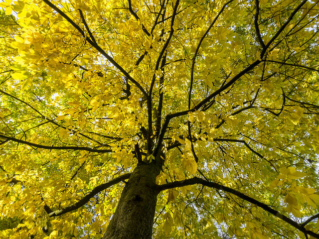
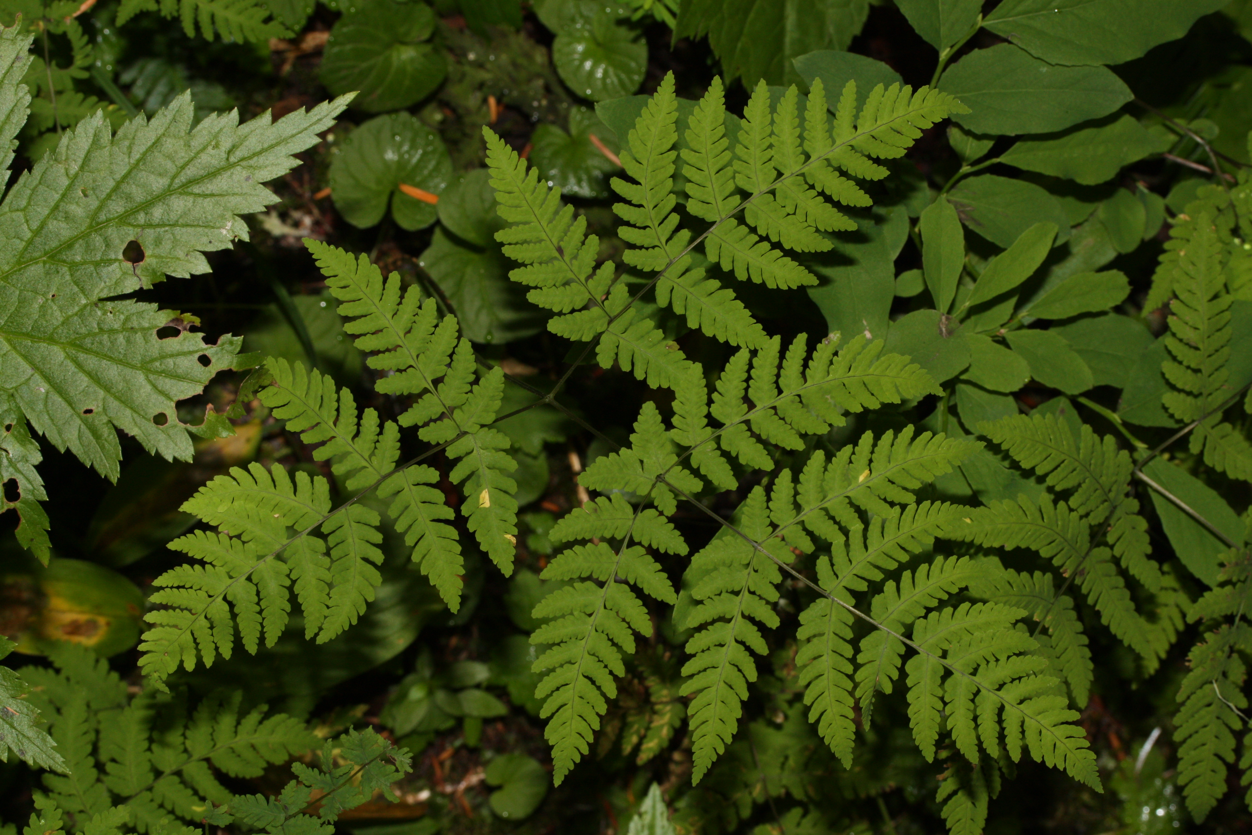
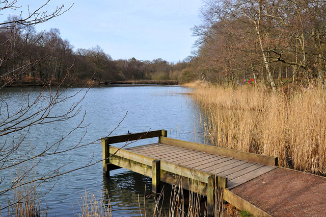
The marsh is characterized by its extensive salt marshes and saltings, which are tidal areas covered by seawater during high tide. These saltings are vital habitats for a wide range of plant and animal species, including various forms of marsh grasses, samphires, and sea lavender. The nutrient-rich mudflats attract numerous bird species, making Ruddle Marsh a renowned bird-watching spot.
The marsh is influenced by the tides of the Severn Estuary, resulting in a constantly changing landscape. During low tide, vast expanses of mudflats are exposed, providing feeding grounds for wading birds such as curlews, redshanks, and dunlins. At high tide, the marshes become submerged, creating a haven for fish, crustaceans, and mollusks.
The conservation of Ruddle Marsh is of great importance, as it supports a significant number of bird species, including some rare and endangered ones. The site is managed by various nature conservation organizations in collaboration with local authorities to ensure its protection and preservation.
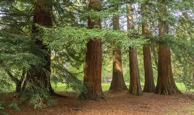
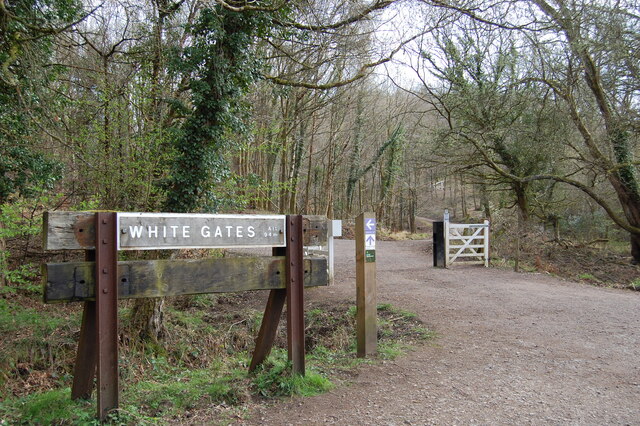
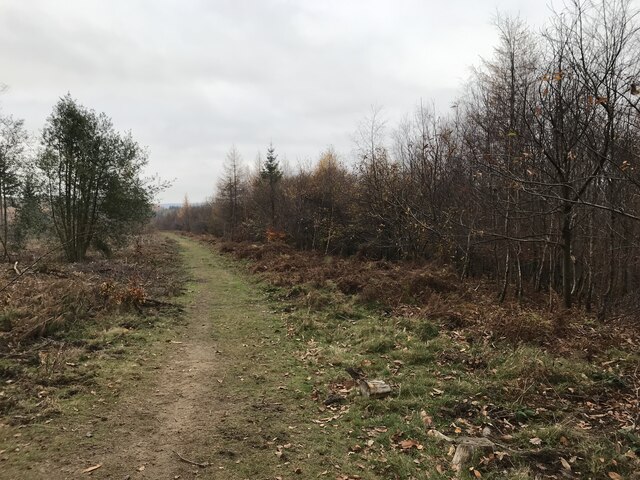
Visitors to Ruddle Marsh can enjoy walking along the designated footpaths that provide access to different areas of the marsh. Interpretive boards and observation points are strategically placed to enhance the experience and provide information about the diverse flora and fauna found in the area.
Overall, Ruddle Marsh is a vital coastal marsh in Gloucestershire, providing a valuable habitat for a wide range of plant and animal species and offering visitors an opportunity to appreciate the beauty of this unique ecosystem.
If you have any feedback on the listing, please let us know in the comments section below.
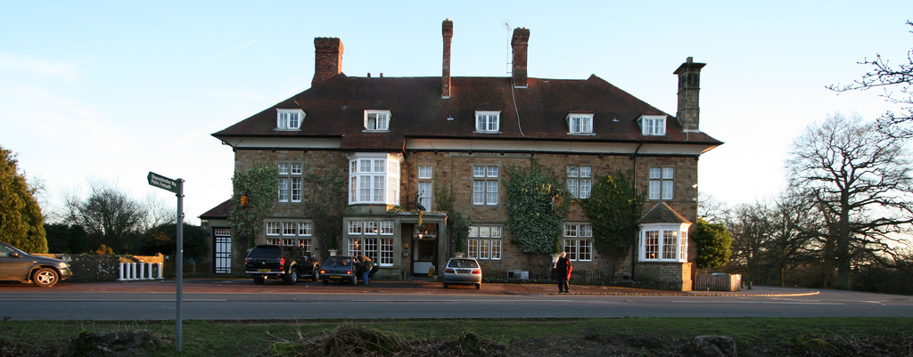
Ruddle Marsh Images
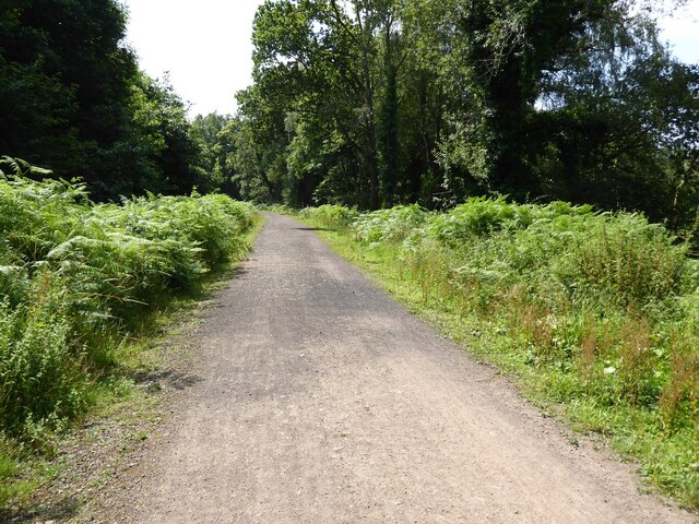
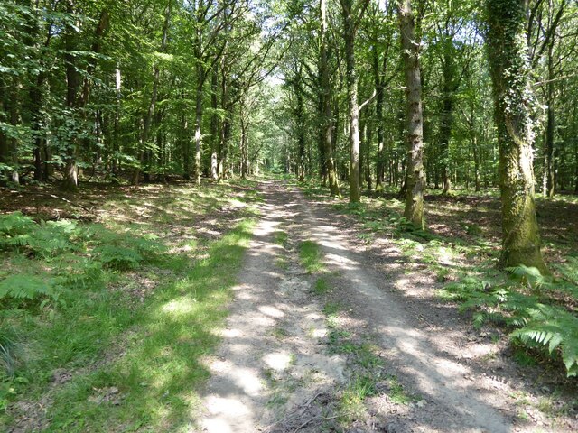
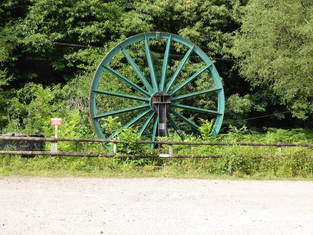
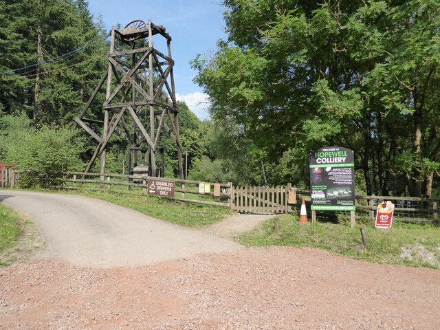
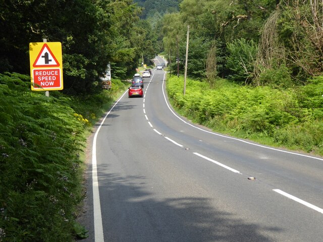
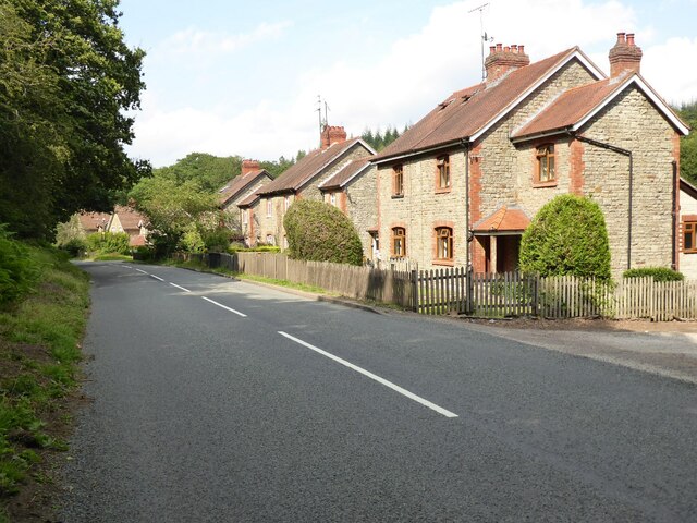
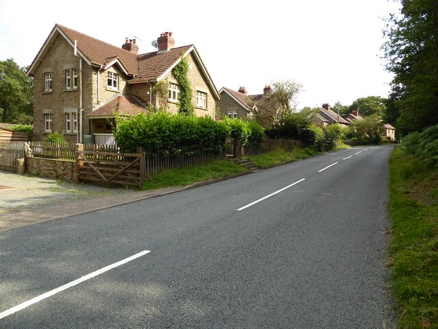
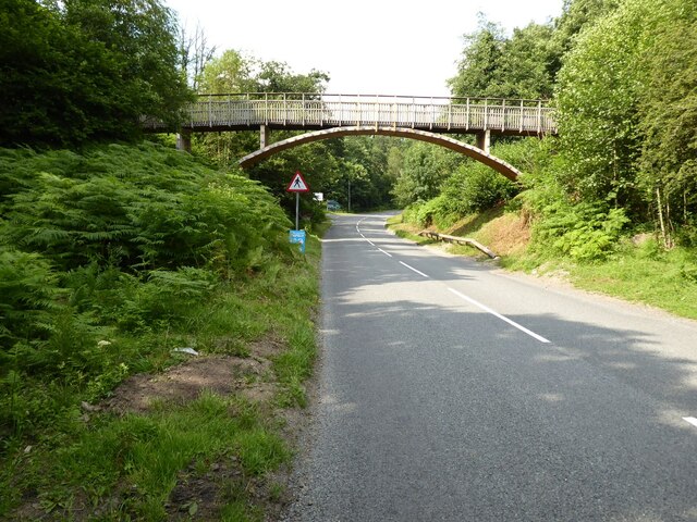
Images are sourced within 2km of 51.812193/-2.5708326 or Grid Reference SO6012. Thanks to Geograph Open Source API. All images are credited.


Ruddle Marsh is located at Grid Ref: SO6012 (Lat: 51.812193, Lng: -2.5708326)
Administrative County: Gloucestershire
District: Forest of Dean
Police Authority: Gloucestershire
What 3 Words
///chugging.alerting.zealous. Near Lydbrook, Gloucestershire
Nearby Locations
Related Wikis

Speech House Road railway station
Speech House Road railway station is a disused railway station opened by the former Severn and Wye Railway in 1875, it remained open for 88 years until...

Edge End, Gloucestershire
Edge End is a small hamlet in west Gloucestershire, England. == Location and amenities == Edge End is about 1.5 miles NW of Coleford and about 1 mile north...

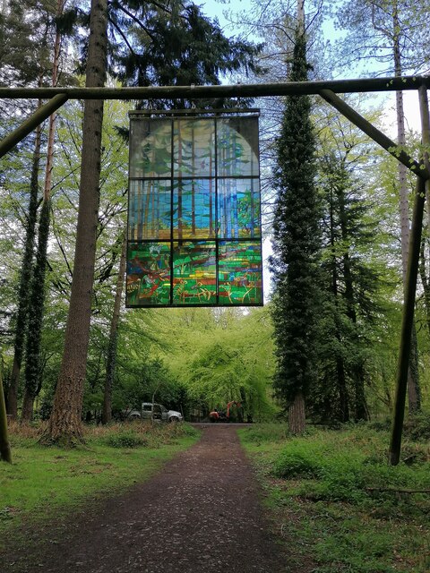
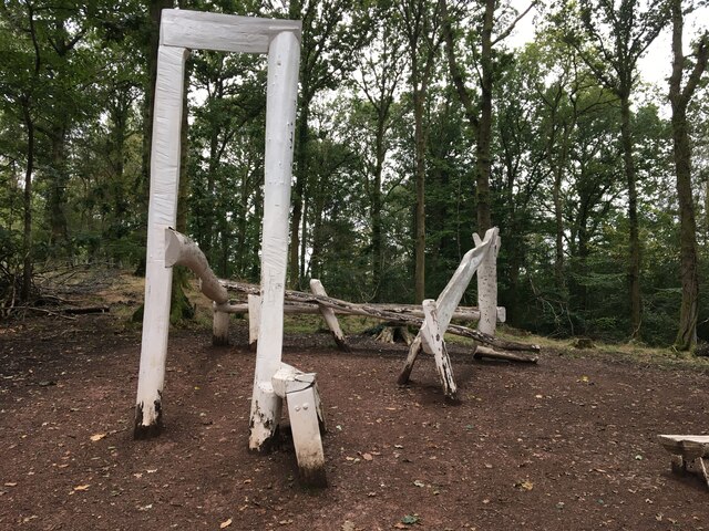
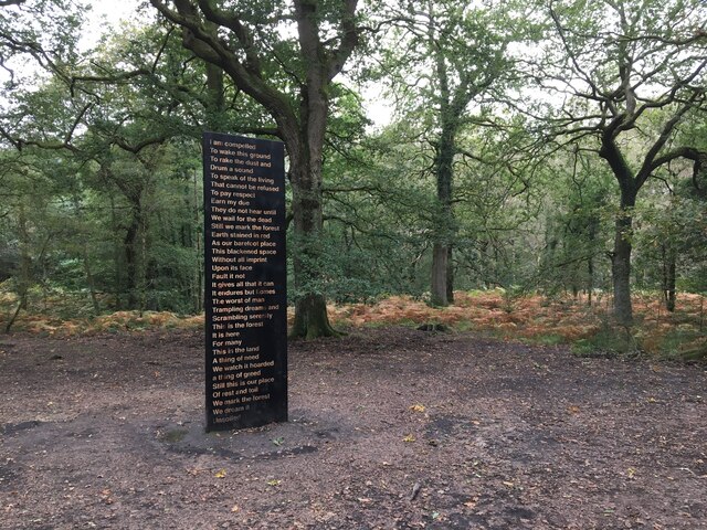
Forest of Dean Sculpture Trail
The Forest of Dean Sculpture Trail is a point of interest in the Forest of Dean in the county of Gloucestershire, England. The Sculpture Trail links several...
Speech House
The Speech House was the administrative building of the Forest of Dean in Gloucestershire, England, lying at the centre of the forest on the road from...
Wimberry Quarries
Wimberry Quarries (grid reference SO594121) is a 2-hectare (4.9-acre) nature reserve in Gloucestershire in the Forest of Dean.The site is held under agreement...

Speech House Oaks
Speech House Oaks (grid reference SO622123) is a 16.26-hectare (40.2-acre) biological Site of Special Scientific Interest in Gloucestershire, notified...
Cannop Ponds
Cannop Ponds (grid reference SO608106) are two large ponds, just north of Parkend in the Forest of Dean, Gloucestershire, England. The ponds, and surrounding...

Mile End, Gloucestershire
Mile End is a small village in the English county of Gloucestershire. It belongs to the civil parish of Coleford, which is also its post town. Mile End...
Nearby Amenities
Located within 500m of 51.812193,-2.5708326Have you been to Ruddle Marsh?
Leave your review of Ruddle Marsh below (or comments, questions and feedback).