Cowarne Wood

Wood, Forest in Herefordshire

England

Cowarne Wood

Wind Pump and Cowarne Wood Looking south from the footpath on the estate road to Cowarne Court.
Wind Pump and Cowarne Wood Credit: Bob Embleton

Cowarne Wood is a picturesque woodland located in the county of Herefordshire, England. Covering an area of approximately 100 acres, it is a thriving forest that provides a habitat for a diverse range of flora and fauna. The wood is situated in the rural parish of Cowarne and is renowned for its natural beauty and tranquil atmosphere.

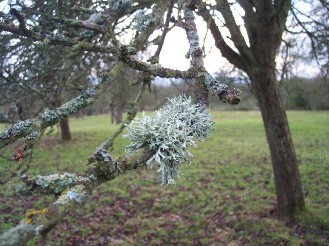
The woodland is primarily composed of broadleaf trees, including oak, beech, and ash, which create a dense canopy overhead. These trees provide shade and shelter for a variety of woodland creatures, such as deer, squirrels, and a rich variety of bird species.

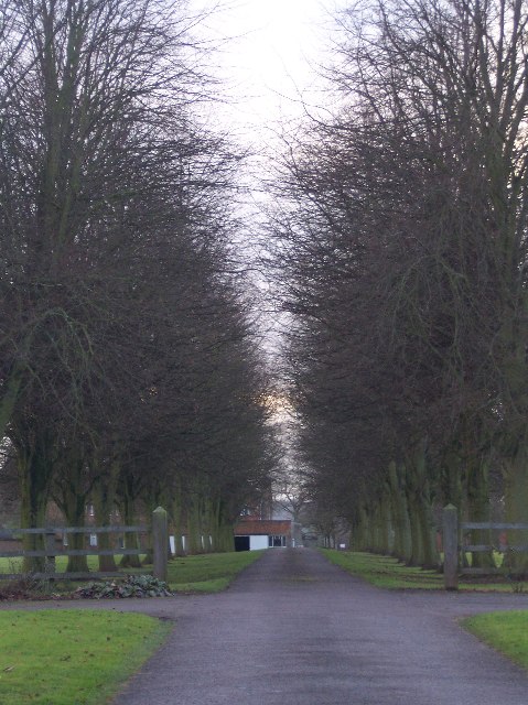
Visitors to Cowarne Wood can enjoy a network of well-maintained footpaths that wind their way through the forest, allowing for pleasant walks and peaceful exploration. The paths meander through a tapestry of wildflowers, ferns, and moss, adding to the enchanting ambiance of the woodland.

In addition to its natural beauty, Cowarne Wood also holds historical significance. The wood has been part of the local landscape for centuries and has witnessed the passage of time. Its ancient trees bear the scars of old, with gnarled trunks and twisting branches that tell stories of the past.

Cowarne Wood is a true haven for nature enthusiasts, photographers, and those seeking solace in the embrace of nature. Its tranquil and untouched charm make it an ideal destination for those looking to escape the hustle and bustle of modern life and immerse themselves in the serenity of the natural world.

If you have any feedback on the listing, please let us know in the comments section below.

Cowarne Wood Images

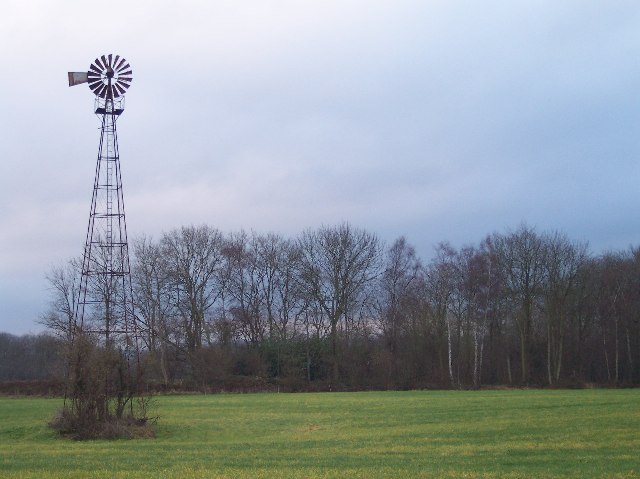
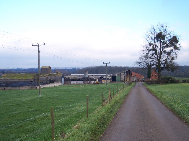
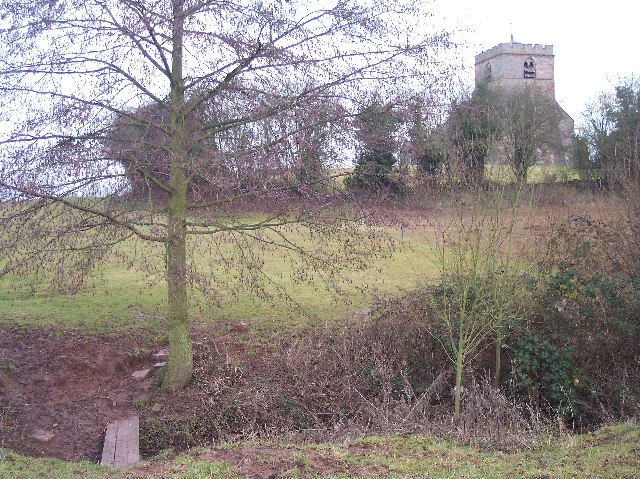
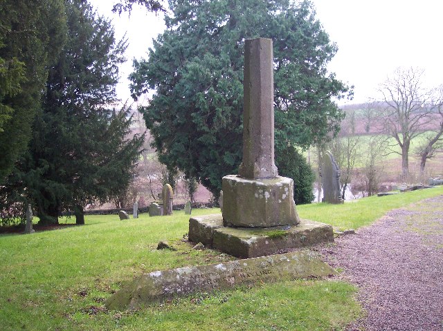
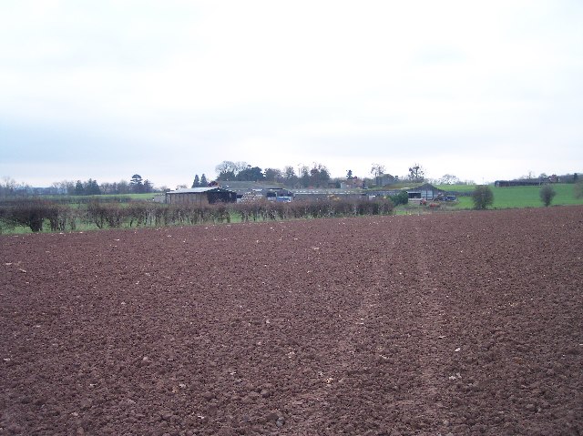
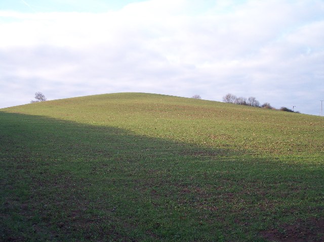
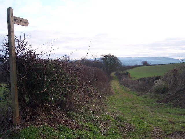
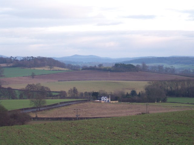
Images are sourced within 2km of 52.112273/-2.5742647 or Grid Reference SO6046. Thanks to Geograph Open Source API. All images are credited.

Wind Pump and Cowarne Wood Looking south from the footpath on the estate road to Cowarne Court.
Wind Pump and Cowarne Wood
Looking south from the footpath on the estate road to Cowarne Court.
The Elms Viewed eastwards from the old road (now a mere footpath) from Ocle Pychard to Wynn's Green.
The Elms
Viewed eastwards from the old road (now a mere footpath) from Ocle Pychard to Wynn's Green.
Cowarne Court Viewed from the west.
Cowarne Court
Viewed from the west.
Much Cowarne Church Viewed from the west where the footpath crosses the stream. St Mary's is on a small hill, probably a prehistoric fortified mound, and was a popular spot for Sir Edward Elgar in the early 1900s.
Much Cowarne Church
Viewed from the west where the footpath crosses the stream. St Mary's is on a small hill, probably a prehistoric fortified mound, and was a popular spot for Sir Edward Elgar in the early 1900s.
Shaft of Churchyard Cross, Much Cowarne
Three Choirs Way  to Cowarne Court Long distance footpath (joining Hereford, Worcester and Gloucester) ploughed up between Much Cowarne Church and Cowarne Court, but marked by quad bike. For more information see:
tracks. <span class="nowrap"><a title="http://www.walkingpages.co.uk/trails_paths/LDP_threechoirsway.htm" rel="nofollow ugc noopener" href="http://www.walkingpages.co.uk/trails_paths/LDP_threechoirsway.htm">Link</a><img style="margin-left:2px;" alt="External link" title="External link - shift click to open in new window" src="https://s1.geograph.org.uk/img/external.png" width="10" height="10"/></span>
Three Choirs Way to Cowarne Court
Long distance footpath (joining Hereford, Worcester and Gloucester) ploughed up between Much Cowarne Church and Cowarne Court, but marked by quad bike. For more information see: tracks. LinkExternal link
Newtown Crossroads An important crossing for the good part of two thousand years. Here the roman road from Gloucester to Leominster crosses the Hereford to Worcester road. The petrol station, shop with post office and toilet replaces the inn and livery stables of yesteryear.
Newtown Crossroads
An important crossing for the good part of two thousand years. Here the roman road from Gloucester to Leominster crosses the Hereford to Worcester road. The petrol station, shop with post office and toilet replaces the inn and livery stables of yesteryear.
Newtown Inn 3D Pub Sign The Gloucester to Leominster road crosses the Hereford to Worcester road (as reflected in the three dimensional pub sign) making this an important trading and servicing location for hundreds if not thousands of years.
Newtown Inn 3D Pub Sign
The Gloucester to Leominster road crosses the Hereford to Worcester road (as reflected in the three dimensional pub sign) making this an important trading and servicing location for hundreds if not thousands of years.
Windmill Hill, Newtown A distinctive hill close to and overlooking the Newtown Crossroads. Viewed from the east from the old road (now bridleway) from Monkhide. With a windmill on top this would have been a distinctive landmark for travellers.
Windmill Hill, Newtown
A distinctive hill close to and overlooking the Newtown Crossroads. Viewed from the east from the old road (now bridleway) from Monkhide. With a windmill on top this would have been a distinctive landmark for travellers.
Old Road from Monkhide Viewed from where it joins the major roads at the Newtown Crossroads. Looking south towards Tarrington.
Old Road from Monkhide
Viewed from where it joins the major roads at the Newtown Crossroads. Looking south towards Tarrington.
View from Windmill Hill Looking SW to filling bridge with the iron age camp on Herefordshire Beacon on the skyline.
View from Windmill Hill
Looking SW to filling bridge with the iron age camp on Herefordshire Beacon on the skyline.
Grove Farm and Apple Orchard Many unpicked apples strewn on the ground - even cut mistletoe lying about!
Grove Farm and Apple Orchard
Many unpicked apples strewn on the ground - even cut mistletoe lying about!
Footbridge into Grove Farm Orchard Looking generally southerly. Over the bridge the ground was very marshy. Many of the trees had the mistletoe cut, but left on the ground.
Footbridge into Grove Farm Orchard
Looking generally southerly. Over the bridge the ground was very marshy. Many of the trees had the mistletoe cut, but left on the ground.
Prunastri Lichen on Apple Tree Taken in an orchard to the north of Grove Farm. 
Lichen is a good indicator of a healthy pollution free countryside.
for help in identification see:
<span class="nowrap"><a title="http://www.earthlife.net/lichens/images/photos/thumbs/thumbs1.html" rel="nofollow ugc noopener" href="http://www.earthlife.net/lichens/images/photos/thumbs/thumbs1.html">Link</a><img style="margin-left:2px;" alt="External link" title="External link - shift click to open in new window" src="https://s1.geograph.org.uk/img/external.png" width="10" height="10"/></span>
Prunastri Lichen on Apple Tree
Taken in an orchard to the north of Grove Farm. Lichen is a good indicator of a healthy pollution free countryside. for help in identification see: LinkExternal link
Avenue to Whitwick Manor Looking SW between two modern houses. 
Whitwick Manor is a Point to Point venue.
Avenue to Whitwick Manor
Looking SW between two modern houses. Whitwick Manor is a Point to Point venue.
Cowarne Woods Lay-by A straightening of the A417 Leominster to Gloucester road provides a useful resting place for travellers.
Cowarne Woods Lay-by
A straightening of the A417 Leominster to Gloucester road provides a useful resting place for travellers.
Muck Heap on Setaside Land Field of rough grass and weeds near Red Wychend. Red because of the soil colour?
Muck Heap on Setaside Land
Field of rough grass and weeds near Red Wychend. Red because of the soil colour?
Field of barley near Cowarne Court Field of barley beside the drive to Cowarne Court. The distinctive hill in the distance is Sutton Walls at Sutton St Nicholas.
Field of barley near Cowarne Court
Field of barley beside the drive to Cowarne Court. The distinctive hill in the distance is Sutton Walls at Sutton St Nicholas.
Show me another place!

Cowarne Wood is located at Grid Ref: SO6046 (Lat: 52.112273, Lng: -2.5742647)

Unitary Authority: County of Herefordshire

Police Authority: West Mercia

What 3 Words

///snapping.confined.calendars. Near Ocle Pychard, Herefordshire

Nearby Locations

Cowarne Wood

Related Wikis

Ocle Pychard

Ocle Pychard is a hamlet and parish near Burley Gate, in Herefordshire, England, 3.25 miles (5.23 km) northwest of Stoke Edith, 6 miles (9.7 km) southwest...

Burley Gate

Burley Gate is a hamlet in Herefordshire, England. It is north-east from the junction between the A465 road and the A417 road. The hamlet is divided between...

Much Cowarne

Much Cowarne is a village and civil parish in the English county of Herefordshire, located off the A417 about 16 miles from Hereford and 10 miles from...

Moreton Jeffries

Moreton Jeffries (or Moreton Jefferies) is a hamlet in the English county of Herefordshire. It is situated off the A465 between Stoke Lacy and Burley Gate...

Nearby Amenities

Located within 500m of 52.112273,-2.5742647
Fixme: continue
Lat/Long: 52.1145778/-2.5785904
Woodsend
Power: pole
Transformer: distribution
Voltage Primary: 11000
Lat/Long: 52.1144758/-2.5776612
Power: pole
Lat/Long: 52.1148864/-2.5784317
Power: pole
Lat/Long: 52.1154447/-2.5789855
The data included in this document is from www.openstreetmap.org. The data is made available under ODbL.

Have you been to Cowarne Wood?

Leave your review of Cowarne Wood below (or comments, questions and feedback).