Copford Green
Settlement in Essex Colchester
England
Copford Green
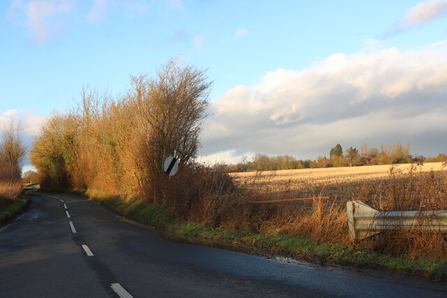
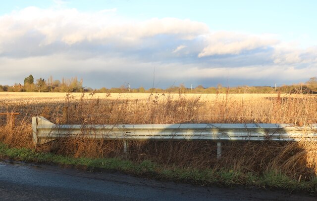
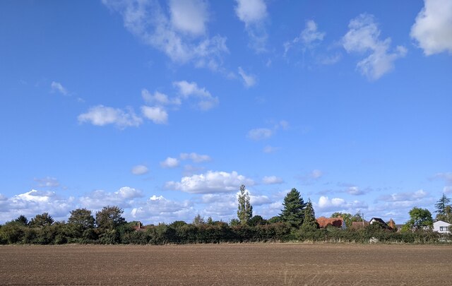
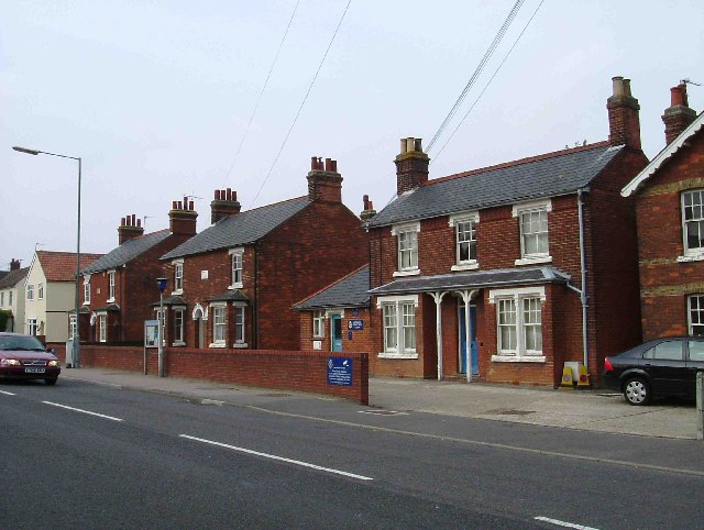
Copford Green is a small village located in the county of Essex, England. Situated approximately five miles west of Colchester, it lies in the Colne Valley within the borough of Colchester. The village is predominantly residential and is known for its picturesque and idyllic rural setting.
The main feature of Copford Green is its charming green, a large open space at the center of the village. Surrounded by a mixture of historic and modern houses, the green acts as a focal point for the community and provides a pleasant area for recreational activities.
The village itself has a long and interesting history, with evidence of human habitation dating back to the Roman era. Many of the properties in Copford Green are of historical significance, including the Grade I listed Copford Church, which dates back to the 12th century. The church is renowned for its stunning medieval wall paintings, which have been carefully preserved and attract visitors from far and wide.
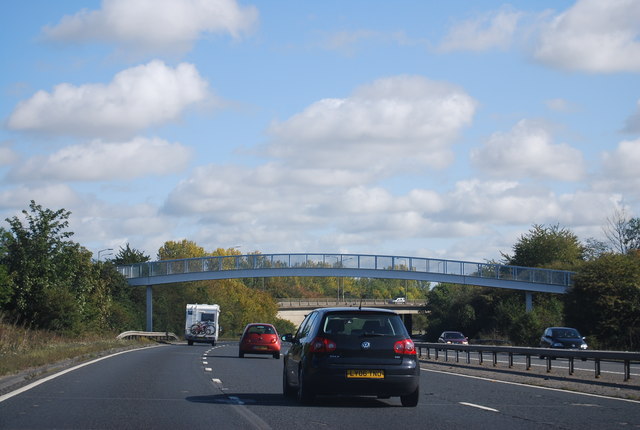
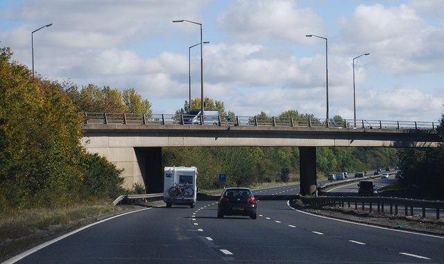
Despite its rural setting, Copford Green benefits from excellent transport links. The A12, one of the main arterial roads in the region, runs close by, providing easy access to Colchester, Chelmsford, and London. The village is also served by regular bus services, enabling residents to easily access nearby towns and villages.
In terms of amenities, Copford Green has a small shop and post office, catering to the everyday needs of the local community. For more extensive shopping and entertainment options, residents can easily access the nearby towns of Colchester and Marks Tey.
Overall, Copford Green offers a peaceful and picturesque village atmosphere while benefiting from its proximity to larger towns and excellent transport links.
If you have any feedback on the listing, please let us know in the comments section below.
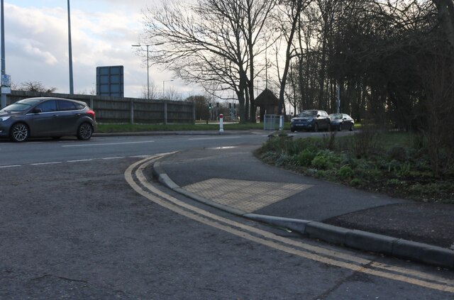
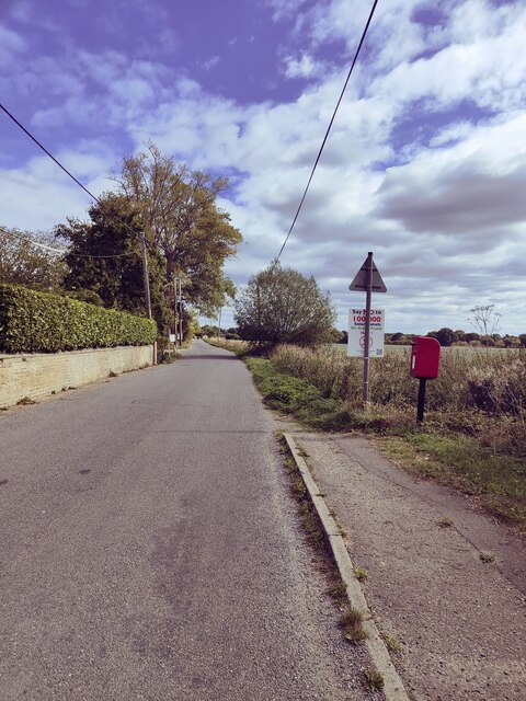
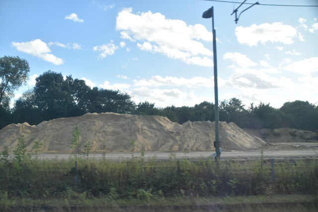
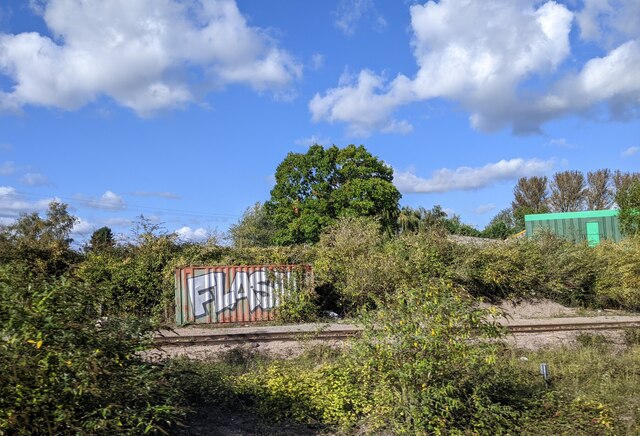
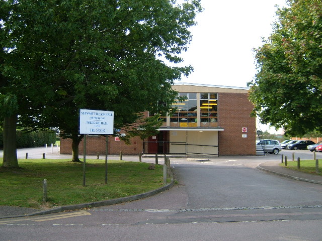
Copford Green Images
Images are sourced within 2km of 51.869004/0.793413 or Grid Reference TL9222. Thanks to Geograph Open Source API. All images are credited.
Copford Green is located at Grid Ref: TL9222 (Lat: 51.869004, Lng: 0.793413)
Administrative County: Essex
District: Colchester
Police Authority: Essex
What 3 Words
///wrenching.happening.expert. Near Marks Tey, Essex
Nearby Locations
Related Wikis

Copford Green
Copford Green is a hamlet within the civil parish of Copford and the district of Colchester in Essex, England. It is near the A12 and A120 roads, and is...
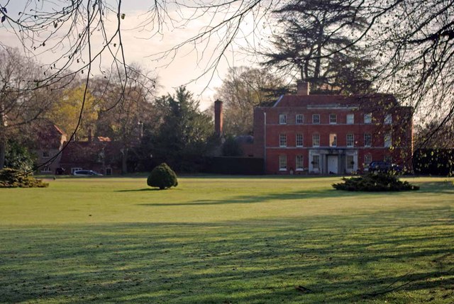
Copford Hall
Copford Hall is a manorial seat and Grade II listed country house, with gardens by Capability Brown, in the village of Copford, Essex, England, 46 miles...

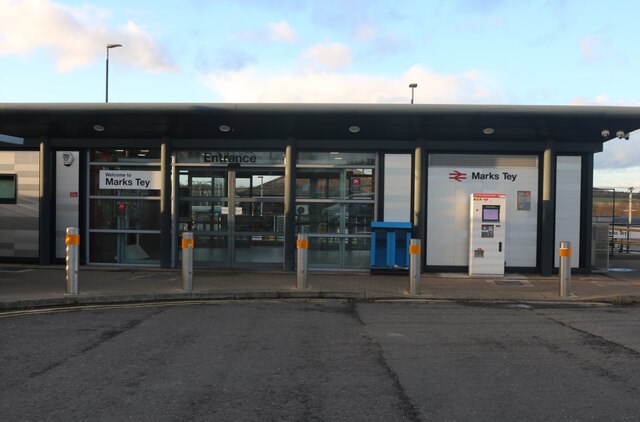
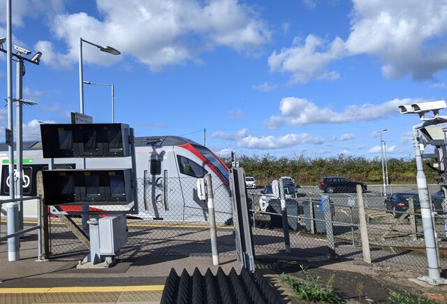
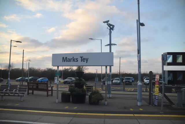
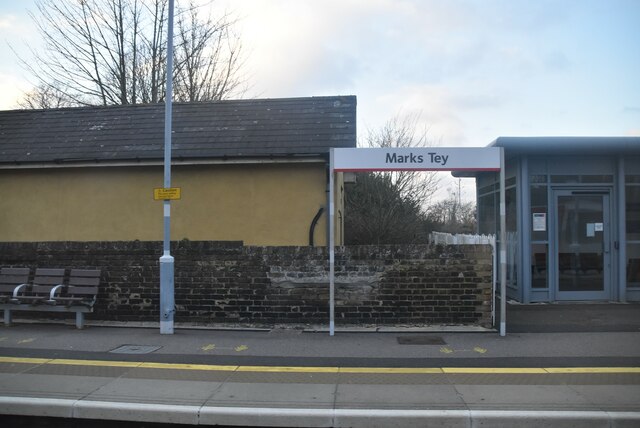
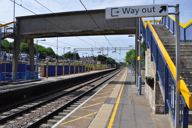
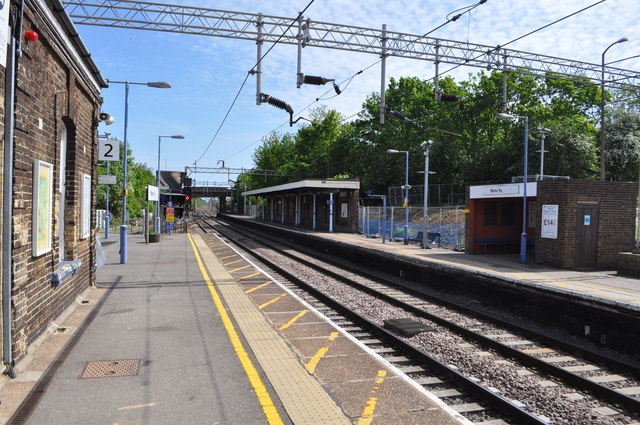
Marks Tey railway station
Marks Tey railway station is on the Great Eastern Main Line (GEML) in the East of England, serving the large village of Marks Tey, Essex. It is 46 miles...
Copford
Copford is a village and civil parish in the City of Colchester district of Essex, England. It is 3 kilometres (2 mi) west of Colchester, and the hamlet...

Marks Tey
Marks Tey is a large village and electoral ward in Essex, England; it is located six miles west of Colchester. == Facilities == Marks Tey is one of a...
St Andrew's Church, Marks Tey
St Andrew's Church is a Church of England parish church in the Essex village of Marks Tey. It was Grade I listed in 1965.Its nave was built around 1100...

Hardy's Green
Hardy's Green is a hamlet in civil parish of Birch in the Colchester district, in the county of Essex, England. Nearby settlements include the large town...
Stanway, Essex
Stanway is a village and civil parish in Essex, England near Colchester and within Colchester Borough. 'Stanway' is an Anglo-Saxon name for the 'stone...
Nearby Amenities
Located within 500m of 51.869004,0.793413Have you been to Copford Green?
Leave your review of Copford Green below (or comments, questions and feedback).