Copford
Settlement in Essex Colchester
England
Copford
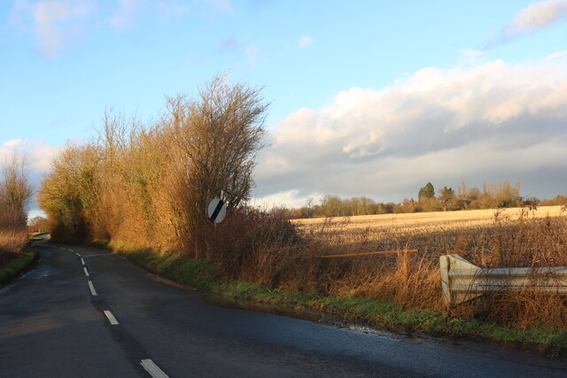
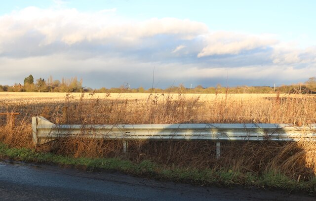
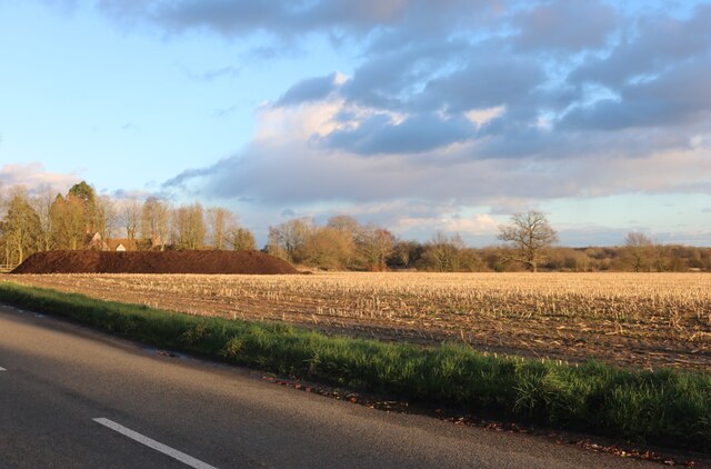
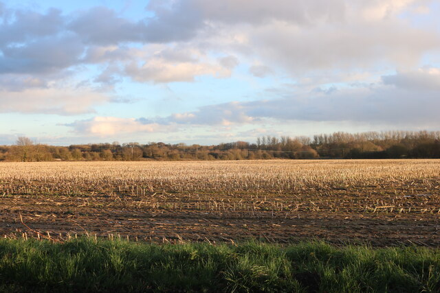
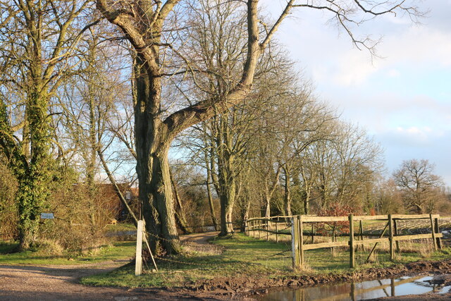
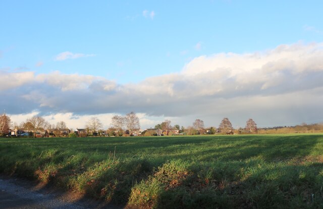
Copford is a small village located in the Tendring district of Essex, England. Situated about five miles west of Colchester, it is positioned on a flat plain surrounded by picturesque countryside. The village is known for its rural charm and tranquil atmosphere, making it an appealing place for those seeking a peaceful retreat.
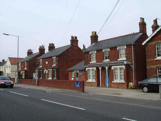
With a population of around 1,000 residents, Copford maintains a close-knit community feel. Its historic roots can be traced back to the Domesday Book, where it was recorded as "Cohforda." The village is characterized by its traditional thatched cottages, red-brick houses, and well-preserved historic buildings.
One of the village's notable landmarks is St. Michael's Church, an exquisite 12th-century Grade I listed building. This Norman church features a distinctive tower and a beautiful interior, adorned with stained glass windows and intricate woodwork. The surrounding churchyard is a peaceful haven, providing a final resting place for many generations of Copford's residents.
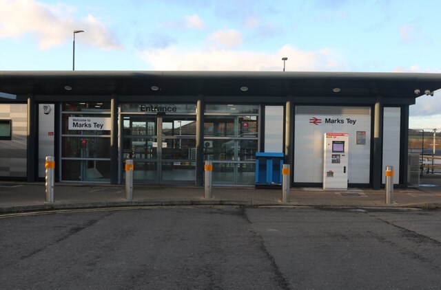
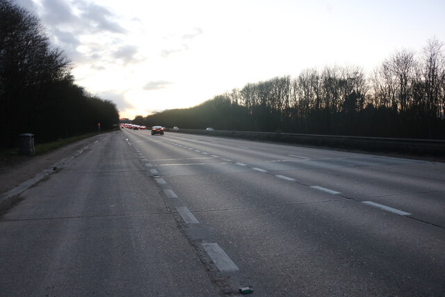
In terms of amenities, Copford offers a range of local facilities, including a village hall, a primary school, and a pub. The nearby countryside provides ample opportunities for outdoor activities, such as walking, cycling, and horse riding. Copford's location also benefits from excellent transport links, with easy access to major roads and Colchester's railway station.
Overall, Copford is a charming village, rich in history and natural beauty. Its idyllic setting, combined with a strong sense of community, makes it an appealing place to live or visit for those seeking a peaceful and picturesque escape from the busyness of modern life.
If you have any feedback on the listing, please let us know in the comments section below.
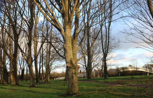
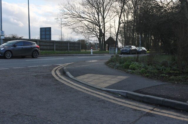
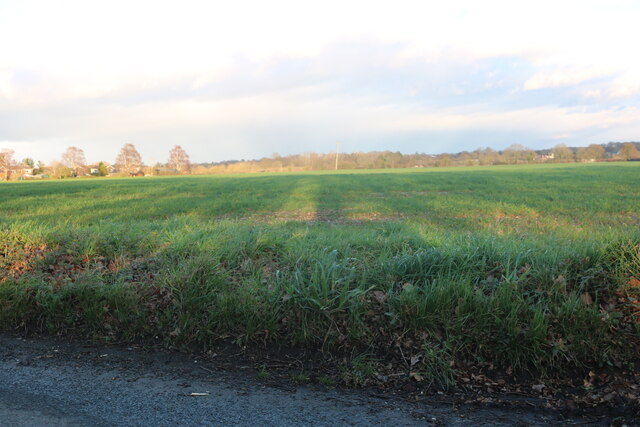
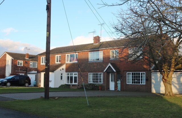
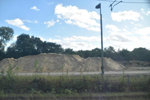
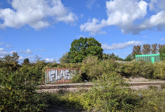
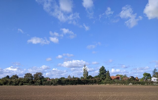
Copford Images
Images are sourced within 2km of 51.880136/0.796516 or Grid Reference TL9223. Thanks to Geograph Open Source API. All images are credited.
Copford is located at Grid Ref: TL9223 (Lat: 51.880136, Lng: 0.796516)
Administrative County: Essex
District: Colchester
Police Authority: Essex
What 3 Words
///raced.twisting.backhand. Near Marks Tey, Essex
Nearby Locations
Related Wikis
Copford
Copford is a village and civil parish in the City of Colchester district of Essex, England. It is 3 kilometres (2 mi) west of Colchester, and the hamlet...

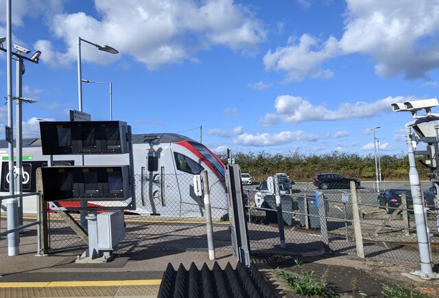
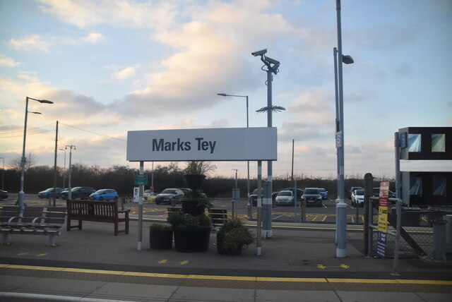
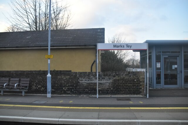
Marks Tey railway station
Marks Tey railway station is on the Great Eastern Main Line (GEML) in the East of England, serving the large village of Marks Tey, Essex. It is 46 miles...

Copford Green
Copford Green is a hamlet within the civil parish of Copford and the district of Colchester in Essex, England. It is near the A12 and A120 roads, and is...
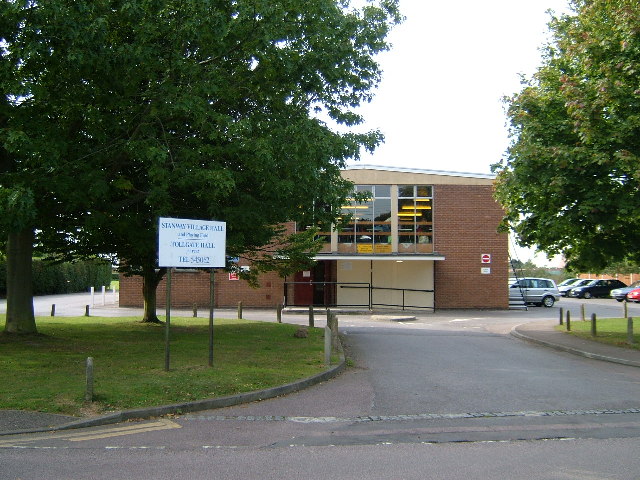
Stanway, Essex
Stanway is a village and civil parish in Essex, England near Colchester and within Colchester Borough. 'Stanway' is an Anglo-Saxon name for the 'stone...
Nearby Amenities
Located within 500m of 51.880136,0.796516Have you been to Copford?
Leave your review of Copford below (or comments, questions and feedback).