Wigleys Pond
Lake, Pool, Pond, Freshwater Marsh in Essex Colchester
England
Wigleys Pond
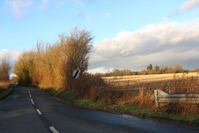
Wigleys Pond is a freshwater marsh located in Essex, England. Situated in the picturesque countryside, it is a popular destination for nature enthusiasts and birdwatchers. Covering an area of approximately 10 acres, the pond is surrounded by lush vegetation and diverse wildlife.
The pond itself is relatively shallow, with an average depth of around 3 meters. It is fed by several small streams and springs, ensuring a constant supply of fresh water. The water in Wigleys Pond is clear and unpolluted, providing a healthy habitat for a variety of aquatic plants and animals.
The vegetation surrounding the pond consists of reeds, water lilies, and other aquatic plants. These provide shelter and food for numerous species of birds, amphibians, and insects. The pond is particularly known for its vibrant birdlife, with species such as herons, ducks, and swans frequently spotted in the area.
Wigleys Pond is also home to a diverse range of fish, including perch, roach, and carp. These fish attract fishing enthusiasts who come to enjoy the peaceful and serene atmosphere while trying their luck at catching a prized specimen.
For visitors, there are several walking trails and observation points around the pond, allowing them to explore the area and observe the wildlife in its natural habitat. The tranquil surroundings and abundance of wildlife make Wigleys Pond an ideal destination for those seeking a peaceful retreat and an opportunity to connect with nature.
If you have any feedback on the listing, please let us know in the comments section below.
Wigleys Pond Images
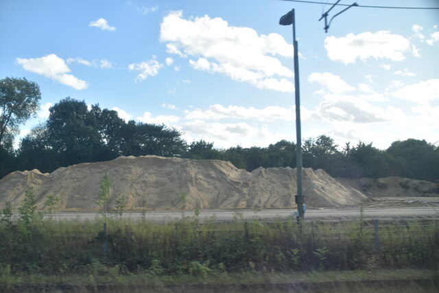
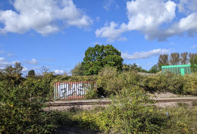
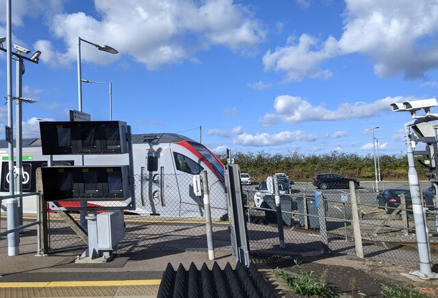
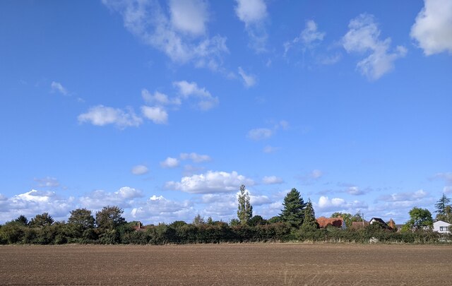
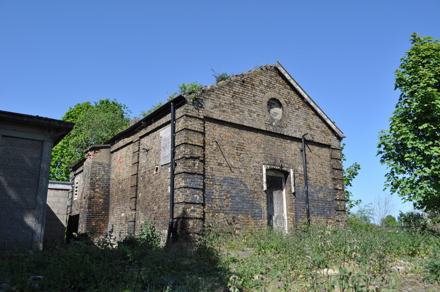
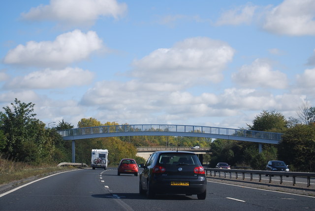
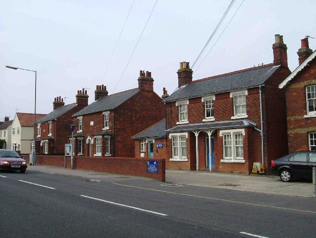
Images are sourced within 2km of 51.871421/0.79248818 or Grid Reference TL9222. Thanks to Geograph Open Source API. All images are credited.
Wigleys Pond is located at Grid Ref: TL9222 (Lat: 51.871421, Lng: 0.79248818)
Administrative County: Essex
District: Colchester
Police Authority: Essex
What 3 Words
///slept.entitles.pegs. Near Marks Tey, Essex
Nearby Locations
Related Wikis

Copford Green
Copford Green is a hamlet within the civil parish of Copford and the district of Colchester in Essex, England. It is near the A12 and A120 roads, and is...
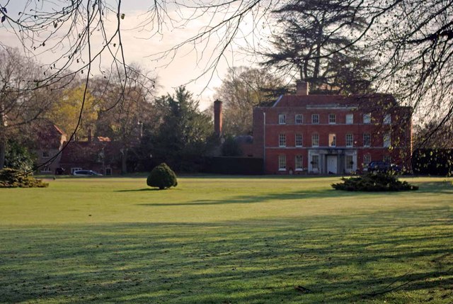
Copford Hall
Copford Hall is a manorial seat and Grade II listed country house, with gardens by Capability Brown, in the village of Copford, Essex, England, 46 miles...

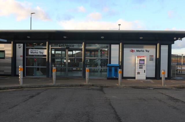
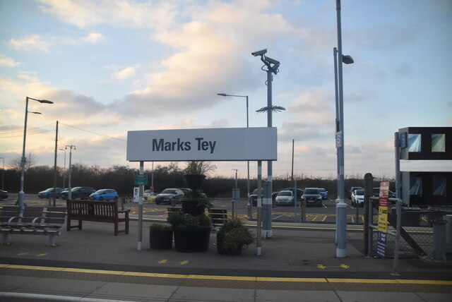
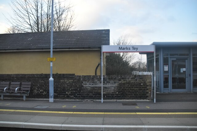
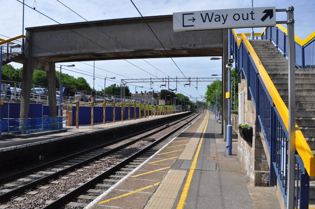
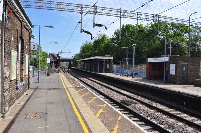
Marks Tey railway station
Marks Tey railway station is on the Great Eastern Main Line (GEML) in the East of England, serving the large village of Marks Tey, Essex. It is 46 miles...
Copford
Copford is a village and civil parish in the City of Colchester district of Essex, England. It is 3 kilometres (2 mi) west of Colchester, and the hamlet...
Nearby Amenities
Located within 500m of 51.871421,0.79248818Have you been to Wigleys Pond?
Leave your review of Wigleys Pond below (or comments, questions and feedback).