Wormingford Mere

Lake, Pool, Pond, Freshwater Marsh in Essex Colchester

England

Wormingford Mere

St Stephen's Chapel St Stephen's Chapel, Bures, near the viewpoint for the Bures Dragon.
St Stephen's Chapel Credit: Pebble

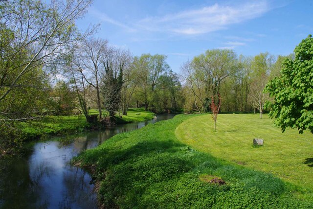
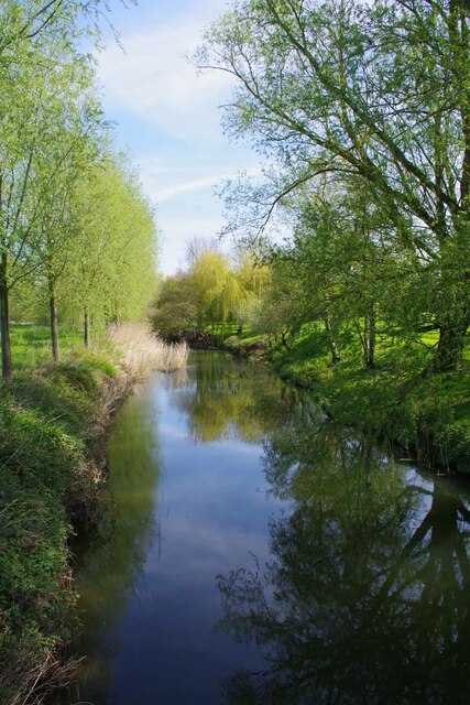
Wormingford Mere, located in Essex, England, is a picturesque freshwater marsh encompassing an area of approximately 70 acres. The mere, also referred to as a lake, pool, or pond, is nestled within the rolling countryside of Wormingford, a small village in the Tendring district. The site is renowned for its natural beauty and abundant wildlife, making it a popular destination for nature enthusiasts and photographers.

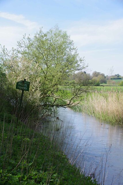
The mere is home to a diverse range of flora and fauna, thriving in its wetland habitat. Lush reed beds, water lilies, and various aquatic plants adorn the surface of the water, providing a habitat for numerous species of birds, insects, and amphibians. Visitors can often spot graceful swans, ducks, herons, and kingfishers, among other bird species, gracefully gliding on the tranquil waters.

The crystal-clear water of Wormingford Mere is fed by natural springs and rainwater, ensuring a constant flow and maintenance of its ecosystem. The mere also serves as a vital breeding ground for several fish species, including carp and tench, attracting fishing enthusiasts seeking a peaceful angling experience.

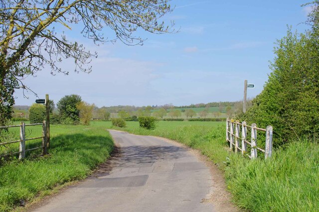
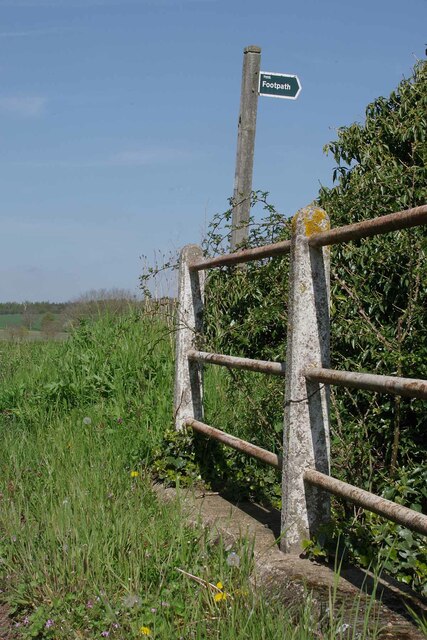
Surrounded by verdant meadows and woodland, the mere offers scenic walking trails and picnic spots for visitors to enjoy the serene ambiance and natural beauty. The site is well-maintained with designated viewing platforms and bird hides, providing optimal opportunities for observing the diverse wildlife in their natural habitat.

Wormingford Mere is not only a haven for wildlife but also a significant ecological site, contributing to the conservation of wetland ecosystems. Its tranquil atmosphere, breathtaking scenery, and rich biodiversity make it a must-visit destination for nature lovers and those seeking solace amidst the beauty of nature.

If you have any feedback on the listing, please let us know in the comments section below.

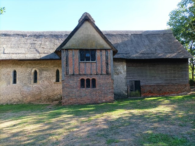
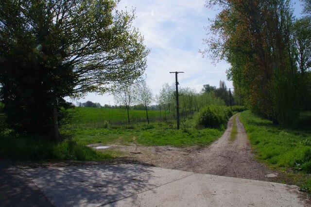
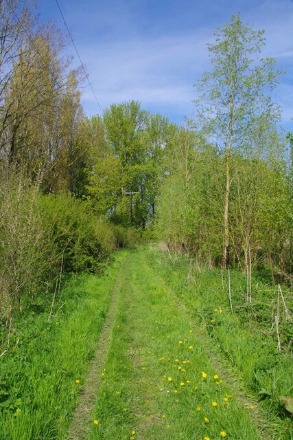
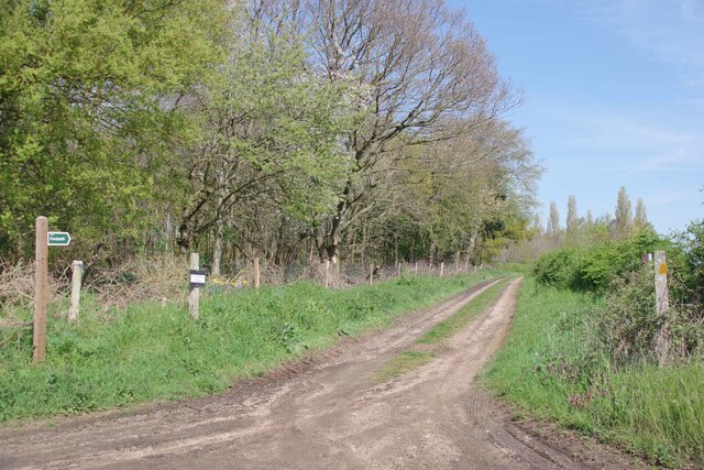
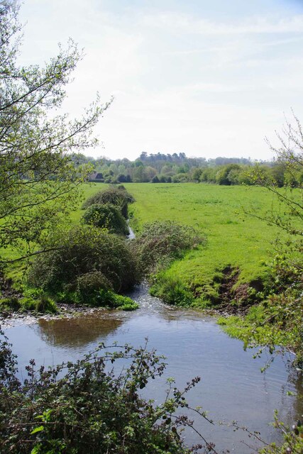
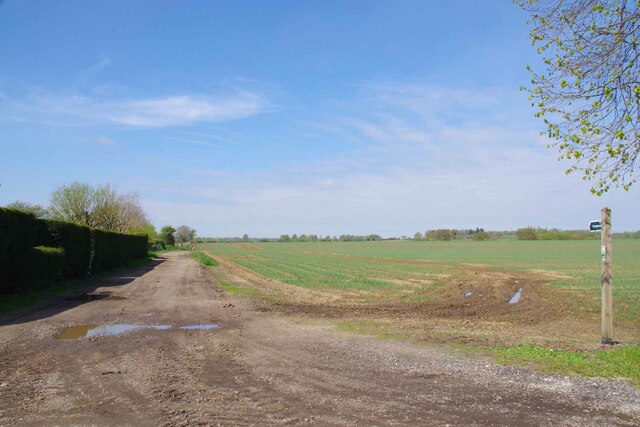
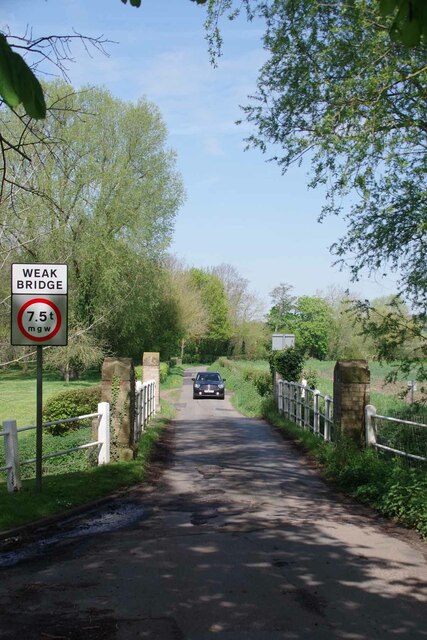
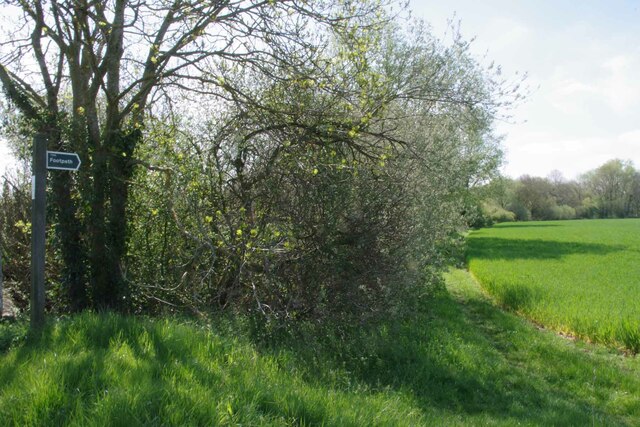
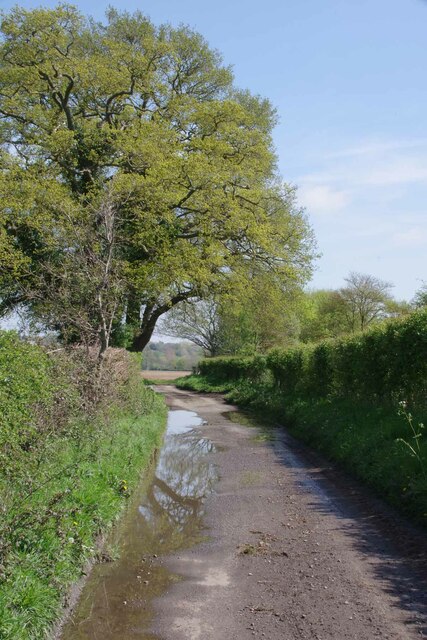
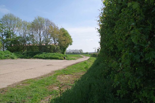
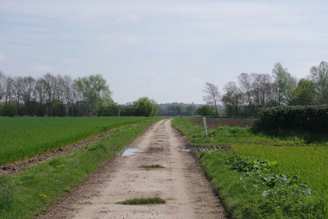
Wormingford Mere Images

Images are sourced within 2km of 51.960157/0.80164144 or Grid Reference TL9232. Thanks to Geograph Open Source API. All images are credited.

St Stephen's Chapel St Stephen's Chapel, Bures, near the viewpoint for the Bures Dragon.
St Stephen's Chapel
St Stephen's Chapel, Bures, near the viewpoint for the Bures Dragon.
Bures St Mary Footpath 14 This footpath comes out near Smallbridge  Farm see <a href="https://www.geograph.org.uk/photo/7471221">TL9233 : Footpath by Smallbridge Farm</a>
Bures St Mary Footpath 14
This footpath comes out near Smallbridge Farm see TL9233 : Footpath by Smallbridge Farm
Looking Back Towards Bures On Bures St Mary Footpath 14
Looking Back Towards Bures
On Bures St Mary Footpath 14
River Stour Near Clicket Hill Looking from Suffolk into Essex
River Stour Near Clicket Hill
Looking from Suffolk into Essex
The Way to Windwhistle Ridge The little sign on the post points to Windwhistle Ridge see <span class="nowrap"><a title="http://www.bures-online.co.uk/Hugh/pdf/5Windwhistle..pdf" rel="nofollow ugc noopener" href="http://www.bures-online.co.uk/Hugh/pdf/5Windwhistle..pdf">Link</a><img style="margin-left:2px;" alt="External link" title="External link - shift click to open in new window" src="https://s1.geograph.org.uk/img/external.png" width="10" height="10"/></span> the wood to the left is Clicket Hill Wood.
The Way to Windwhistle Ridge
The little sign on the post points to Windwhistle Ridge see LinkExternal link the wood to the left is Clicket Hill Wood.
Brook by the Bures Rd Looking across the watermeadows towards the River Stour.
Brook by the Bures Rd
Looking across the watermeadows towards the River Stour.
Footpath by Smallbridge Farm Looking back towards <a href="https://www.geograph.org.uk/photo/7471180">TL9133 : Bures St Mary Footpath 14</a>
Footpath by Smallbridge Farm
Looking back towards TL9133 : Bures St Mary Footpath 14
Wormingford Bridge The maps do not fib it is a "Smallbridge".
Wormingford Bridge
The maps do not fib it is a "Smallbridge".
Stour from Wormingford Bridge Looking upstream Essex to the left Suffolk to the right.
Stour from Wormingford Bridge
Looking upstream Essex to the left Suffolk to the right.
Downstream from Wormingford Bridge The River Stour with Suffolk on the left and Essex on the right.
Downstream from Wormingford Bridge
The River Stour with Suffolk on the left and Essex on the right.
Bridge over a Drainage Ditch A choice of footpaths.
Bridge over a Drainage Ditch
A choice of footpaths.
Footpath Fingerpost Taken from <a href="https://www.geograph.org.uk/photo/7471251">TL9333 : Bridge over a Drainage Ditch</a>
Footpath Fingerpost
Footpath to Smallbridge Hall One of the fingerposts shown in <a href="https://www.geograph.org.uk/photo/7471251">TL9333 : Bridge over a Drainage Ditch</a>
Footpath to Smallbridge Hall
One of the fingerposts shown in TL9333 : Bridge over a Drainage Ditch
Bowdens Lane A no through road for motor vehicles.
Bowdens Lane
A no through road for motor vehicles.
Wormingford Bridleway 25 This bridleway joins with a byway near Little Horkesley
Wormingford Bridleway 25
This bridleway joins with a byway near Little Horkesley
Bridleway 25 Wormingford Looking towards Little Horkesley
Bridleway 25 Wormingford
Looking towards Little Horkesley
Water Pump By Bridleway 25.
Water Pump
By Bridleway 25.
Harrowed Field by Bridleway 25 Looking towards Little Horkesley
Harrowed Field by Bridleway 25
Looking towards Little Horkesley
Show me another place!

Wormingford Mere is located at Grid Ref: TL9232 (Lat: 51.960157, Lng: 0.80164144)

Administrative County: Essex

District: Colchester

Police Authority: Essex

What 3 Words

///pizzeria.solutions.added. Near Bures St Mary, Suffolk

Related Wikis

Smallbridge Hall

Smallbridge Hall is a Grade II* listed English country house in Bures St. Mary, Suffolk, near Colchester, England. The house is partially surrounded by...

Wormingford

Wormingford is a village and civil parish in the City of Colchester district of Essex, England. The ancient parish of Wormingford on the south bank of...

Bures St Mary

Bures St Mary is a civil parish in the Babergh district of the English county of Suffolk. In 2005 it had a population of 940, reducing to 918 at the 2011...

Bures, England

Bures is a village in eastern England that straddles the Essex/Suffolk border, made up of two civil parishes: Bures Hamlet in Essex and Bures St. Mary...

Nearby Amenities

Located within 500m of 51.960157,0.80164144
Barrier: kissing_gate
Lat/Long: 51.9577707/0.8029793
Barrier: kissing_gate
Lat/Long: 51.9640228/0.7997716
Barrier: kissing_gate
Lat/Long: 51.9639979/0.7997211
Barrier: kissing_gate
Lat/Long: 51.9569653/0.8038306
Barrier: kissing_gate
Lat/Long: 51.956214/0.8047
Barrier: horse_jump
Lat/Long: 51.9568389/0.8035788
Bench
Lat/Long: 51.956181/0.8047576
The data included in this document is from www.openstreetmap.org. The data is made available under ODbL.

Have you been to Wormingford Mere?

Leave your review of Wormingford Mere below (or comments, questions and feedback).