The Fir Trees
Wood, Forest in Essex Colchester
England
The Fir Trees
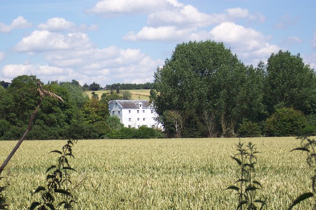
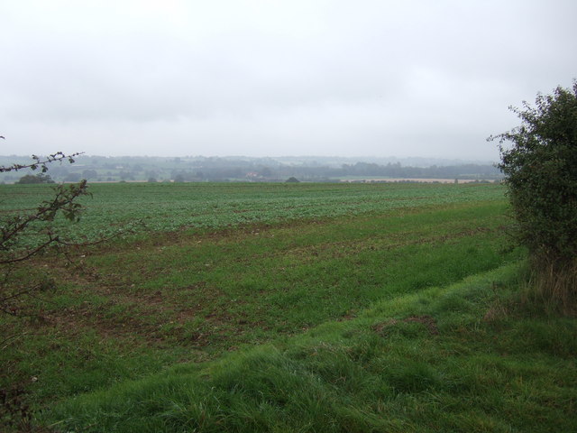
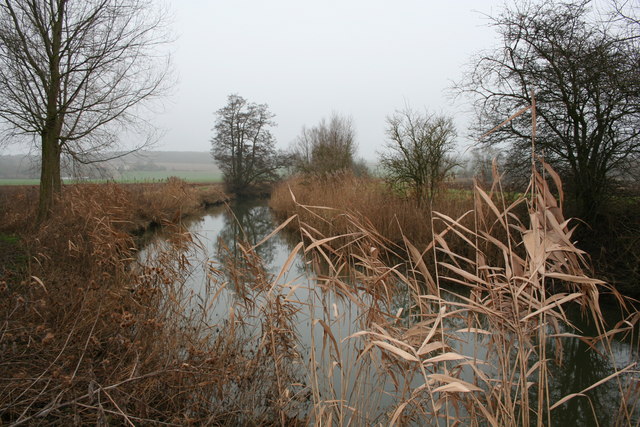
The Fir Trees, Essex is a dense woodland located in the southeastern county of Essex, England. Stretching across an area of approximately 100 acres, this forest is known for its abundant fir trees, which dominate the landscape. The trees, known for their tall stature and conical shape, create a picturesque and serene environment.
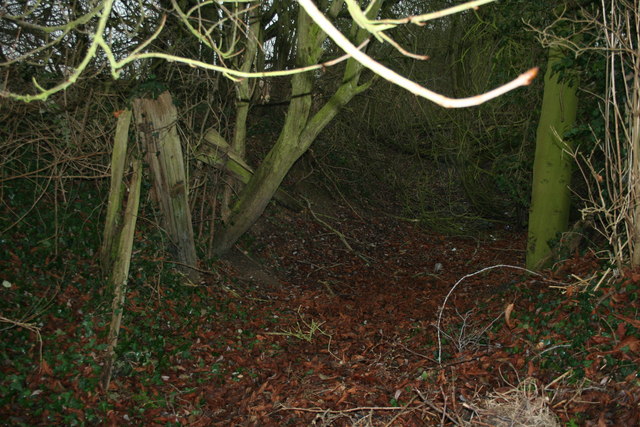
The forest offers a variety of recreational activities for visitors, including walking trails and cycling paths that meander through the woods. These paths provide an opportunity for nature enthusiasts to explore the diverse flora and fauna that call The Fir Trees their home. The forest is also home to a range of wildlife, including deer, foxes, and various bird species.
The woodland is well-maintained and well-preserved, with a dedicated team of forest rangers overseeing its conservation. The rangers ensure that the ecosystem remains healthy and that the forest's natural beauty is preserved for generations to come.
In addition to its natural charm, The Fir Trees, Essex also boasts a visitor center that offers educational programs and exhibits about the forest and its inhabitants. The center provides valuable information about the ecological significance of the woodland and promotes awareness about the importance of environmental conservation.
Overall, The Fir Trees, Essex is a captivating woodland destination, offering a peaceful escape from the hustle and bustle of everyday life. With its towering fir trees, diverse wildlife, and well-maintained trails, it provides a perfect retreat for nature lovers and outdoor enthusiasts alike.
If you have any feedback on the listing, please let us know in the comments section below.
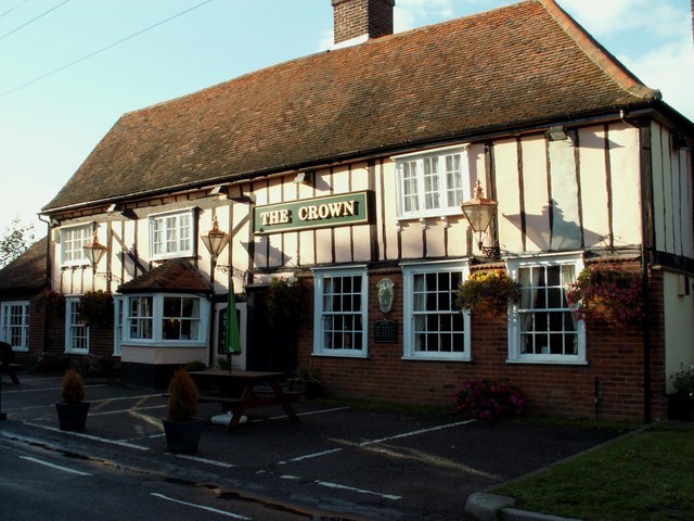
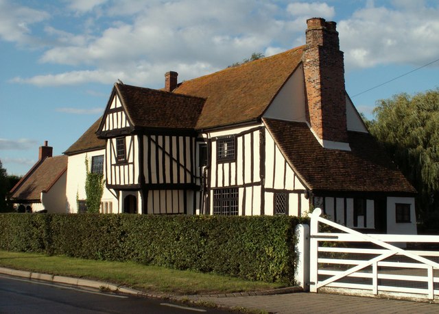
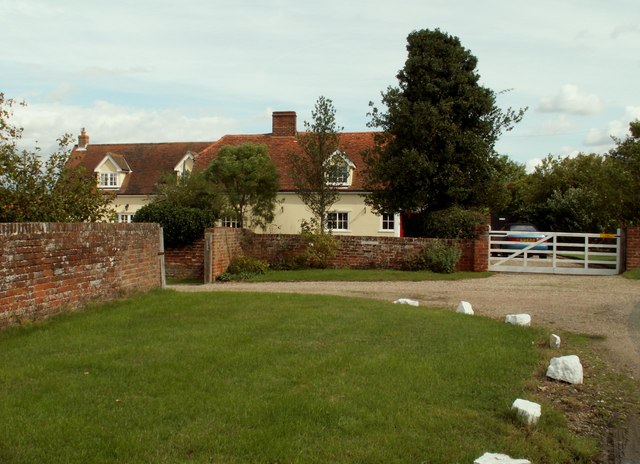
The Fir Trees Images
Images are sourced within 2km of 51.956704/0.80275069 or Grid Reference TL9232. Thanks to Geograph Open Source API. All images are credited.


The Fir Trees is located at Grid Ref: TL9232 (Lat: 51.956704, Lng: 0.80275069)
Administrative County: Essex
District: Colchester
Police Authority: Essex
What 3 Words
///warrior.arranges.enormous. Near Bures St Mary, Suffolk
Nearby Locations
Related Wikis

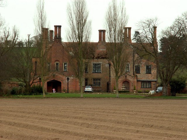
Smallbridge Hall
Smallbridge Hall is a Grade II* listed English country house in Bures St. Mary, Suffolk, near Colchester, England. The house is partially surrounded by...

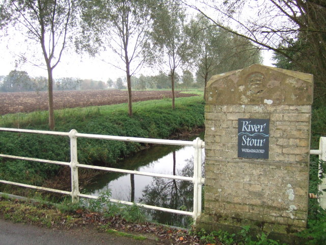
Wormingford
Wormingford is a village and civil parish in the City of Colchester district of Essex, England. The ancient parish of Wormingford on the south bank of...

RAF Wormingford
Royal Air Force Wormingford, or more simply RAF Wormingford, is a former Royal Air Force station located 6 miles (9.7 km) northwest of Colchester, Essex...
Bures St Mary
Bures St Mary is a civil parish in the Babergh district of the English county of Suffolk. In 2005 it had a population of 940, reducing to 918 at the 2011...

Sergeants Orchard
Sergeants Orchard is a 3.2-hectare (7.9-acre) nature reserve in Mount Bures and north of Chappel in Essex. It is owned and managed by the Essex Wildlife...

Mount Bures
Mount Bures is a small village in England on the Essex and Suffolk borders. It takes its name from the mount or motte believed to have been built shortly...
Bures, England
Bures is a village in eastern England that straddles the Essex/Suffolk border, made up of two civil parishes: Bures Hamlet in Essex and Bures St. Mary...

Bures railway station
Bures railway station is on the Gainsborough Line, a branch off the Great Eastern Main Line to Sudbury, in the East of England, serving the village of...
Nearby Amenities
Located within 500m of 51.956704,0.80275069Have you been to The Fir Trees?
Leave your review of The Fir Trees below (or comments, questions and feedback).