Copgrove

Settlement in Yorkshire Harrogate

England

Copgrove

Farnham, Shaw Bridge Shaw Bridge crosses a small stream; the track to the north goes to Copgrove, and the track to the south to Farnham. The OS database records a rivet on the eastern parapet of the bridge. Nothing was found. The bridge does not appear to be rebuilt. The parapet was only one stone course deep. It is likely the rivet and benchmark may now be covered with the deposits of mud on the track.
Farnham, Shaw Bridge Credit: Mel Towler

Copgrove is a small village located in the Harrogate district of North Yorkshire, England. Situated approximately 6 miles west of the town of Boroughbridge, it lies on the banks of the River Ure and is surrounded by picturesque countryside. The village has a population of around 200 residents and is known for its tranquility and rural charm.

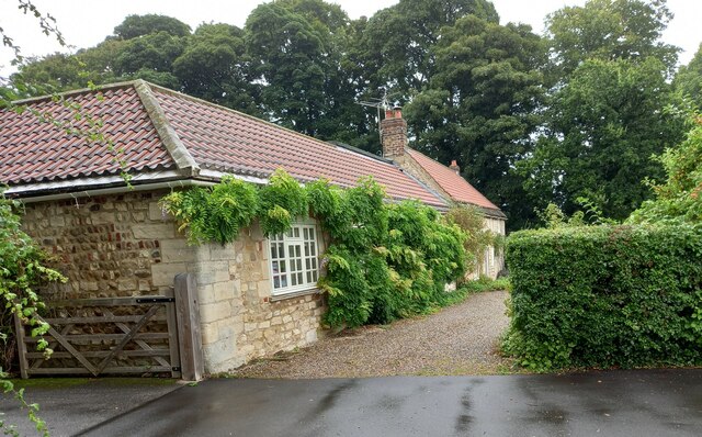
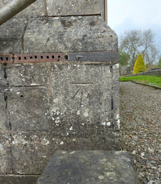
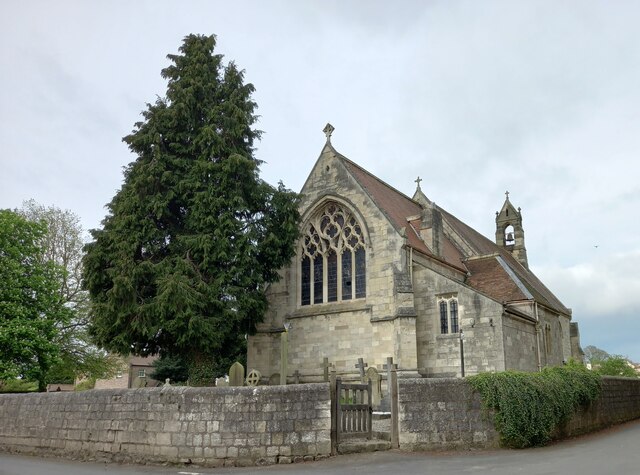
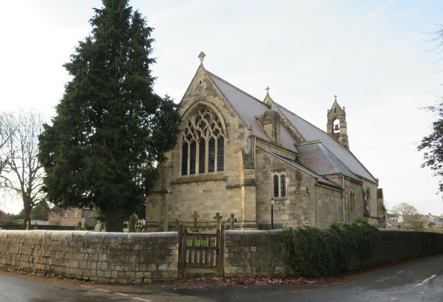
Copgrove dates back to medieval times and still retains much of its historic character. The village is home to several well-preserved traditional cottages, many of which feature beautiful Yorkshire stone facades. The centerpiece of the village is the 12th-century All Saints Church, a Grade II listed building that showcases impressive Norman architecture.

Despite its small size, Copgrove benefits from a strong sense of community. The village has a village hall, which serves as a hub for various social events and gatherings, including art exhibitions, community meetings, and local celebrations. Additionally, Copgrove has its own cricket team, which contributes to the vibrant village life.

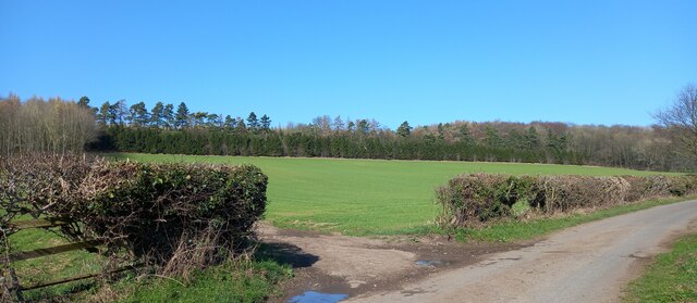
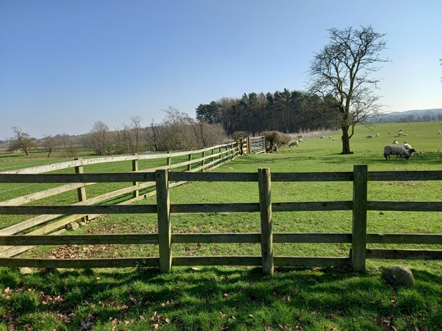
The surrounding area offers numerous opportunities for outdoor activities. The nearby River Ure provides fishing enthusiasts with a tranquil spot to enjoy their hobby, while the rolling hills and fields offer scenic walks and cycling routes. For those seeking a more urban experience, the town of Boroughbridge is a short drive away, providing a range of amenities including shops, restaurants, and schools.

In conclusion, Copgrove is a charming village in Yorkshire that combines a rich history with a close-knit community and beautiful natural surroundings. It offers residents and visitors alike a peaceful retreat from the hustle and bustle of modern life.

If you have any feedback on the listing, please let us know in the comments section below.
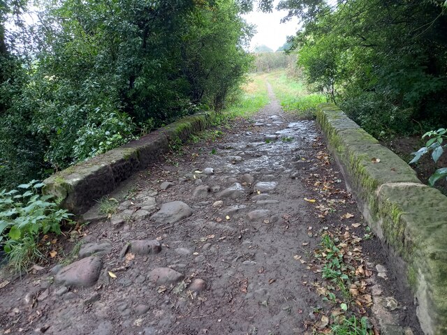
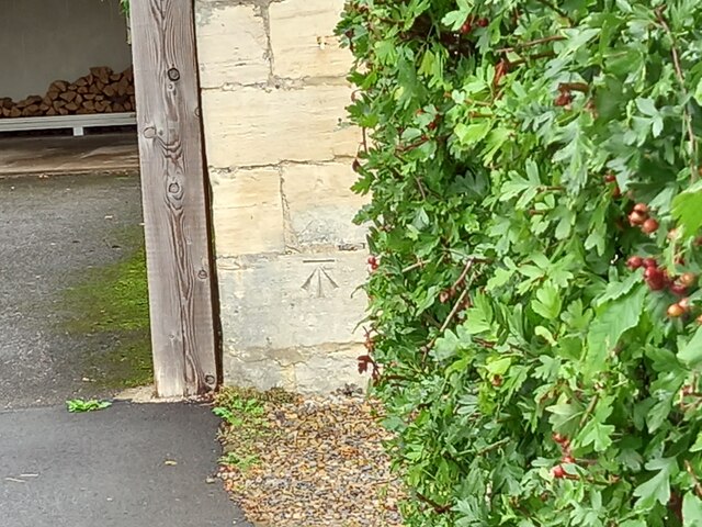
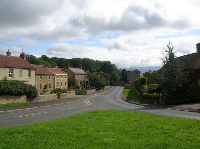
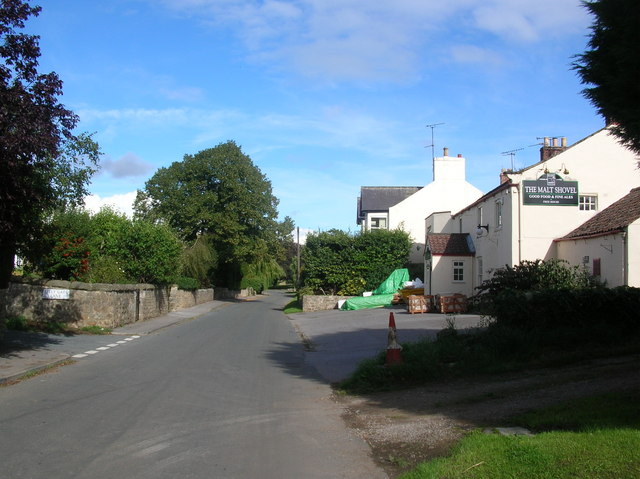
Copgrove Images

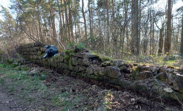
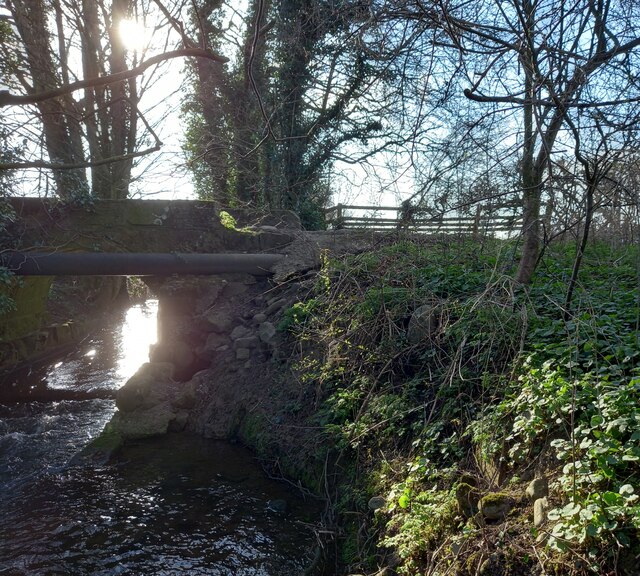
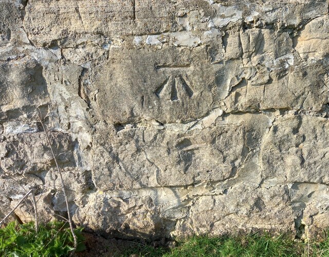
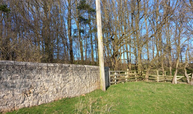
Images are sourced within 2km of 54.063888/-1.472918 or Grid Reference SE3463. Thanks to Geograph Open Source API. All images are credited.

Farnham, Shaw Bridge Shaw Bridge crosses a small stream; the track to the north goes to Copgrove, and the track to the south to Farnham. The OS database records a rivet on the eastern parapet of the bridge. Nothing was found. The bridge does not appear to be rebuilt. The parapet was only one stone course deep. It is likely the rivet and benchmark may now be covered with the deposits of mud on the track.
Farnham, Shaw Bridge
Shaw Bridge crosses a small stream; the track to the north goes to Copgrove, and the track to the south to Farnham. The OS database records a rivet on the eastern parapet of the bridge. Nothing was found. The bridge does not appear to be rebuilt. The parapet was only one stone course deep. It is likely the rivet and benchmark may now be covered with the deposits of mud on the track.
Farnham/Copgrove Green Lane This bench mark is cut into the old stone wall on the west side of the green lane which runs to/from Farnham and Copgrove.
Farnham/Copgrove Green Lane
This bench mark is cut into the old stone wall on the west side of the green lane which runs to/from Farnham and Copgrove.
Farnham/Copgrove Green Lane A wider angle showing Green Lane and the track northwards, and the old stone wall on the west side of the lane. There is a bench mark cut into the  1st stone course of the wall along this stretch.
Farnham/Copgrove Green Lane
A wider angle showing Green Lane and the track northwards, and the old stone wall on the west side of the lane. There is a bench mark cut into the 1st stone course of the wall along this stretch.
Robert Beck bridge This bridge is on the north/south track which runs to and from Farnham to Copgrove. According to the OS database there was a benchmark in this location. Today there is a more substantial bridge for the heavier machinery using the lanes, and no benchmark to be found.
Robert Beck bridge
This bridge is on the north/south track which runs to and from Farnham to Copgrove. According to the OS database there was a benchmark in this location. Today there is a more substantial bridge for the heavier machinery using the lanes, and no benchmark to be found.
Copgrove, Firlands Farm Firlands Farm is on the south side of the Burton Leonard/Farnham road. On the north facing gable end which is roadside, there is a benchmark cut into the lowest course of stone.
Copgrove, Firlands Farm
Firlands Farm is on the south side of the Burton Leonard/Farnham road. On the north facing gable end which is roadside, there is a benchmark cut into the lowest course of stone.
Copgrove, Firlands Farm A wider angle showing Firlands Farm on the south side of the Burton Leonard/Farnham road. On this north facing gable end, there is a benchmark cut into the lowest course of stone.
Copgrove, Firlands Farm
A wider angle showing Firlands Farm on the south side of the Burton Leonard/Farnham road. On this north facing gable end, there is a benchmark cut into the lowest course of stone.
Burton Leonard, The Toll House The Toll House is on the north side of the Burton Leonard/Copgrove road and is now a private residence. On the second course of stone, on the left corner stone of the house, there is a benchmark.
Burton Leonard, The Toll House
The Toll House is on the north side of the Burton Leonard/Copgrove road and is now a private residence. On the second course of stone, on the left corner stone of the house, there is a benchmark.
Burton Leonard, The Toll House A wider angle showing the Toll House which is on the north side of the Burton Leonard/Copgrove road and is now a private residence. On the second course of stone, on the left corner stone of the house, there is a benchmark. To the right of the wooden gatepost.
Burton Leonard, The Toll House
A wider angle showing the Toll House which is on the north side of the Burton Leonard/Copgrove road and is now a private residence. On the second course of stone, on the left corner stone of the house, there is a benchmark. To the right of the wooden gatepost.
Brearton, Warren Lane According to the OS benchmark database one of the gateposts in this field entrance had a benchmark cut into the face. Today there are no gateposts, and no gate and the benchmark has been destroyed.
Brearton, Warren Lane
According to the OS benchmark database one of the gateposts in this field entrance had a benchmark cut into the face. Today there are no gateposts, and no gate and the benchmark has been destroyed.
Brearton, Warren Lane According to the OS benchmark database there was a small building stood in the corner of this field with a benchmark cut into the north-west face. The building has been demolished and the benchmark destroyed.
Brearton, Warren Lane
According to the OS benchmark database there was a small building stood in the corner of this field with a benchmark cut into the north-west face. The building has been demolished and the benchmark destroyed.
Brearton, Green Lane According to the OS benchmark database there is a benchmark cut into a lower stone on this stretch of wall. The wall remains intact and having cleared some of the growth around the wall base no mark was found.
Brearton, Green Lane
According to the OS benchmark database there is a benchmark cut into a lower stone on this stretch of wall. The wall remains intact and having cleared some of the growth around the wall base no mark was found.
Farnham, Shaw Bridge According to the OS benchmark database there was a OS rivet cut into a wall a slight distance from the east parapet. Nothing was found.
Farnham, Shaw Bridge
According to the OS benchmark database there was a OS rivet cut into a wall a slight distance from the east parapet. Nothing was found.
Farnham green lane The wall is to the left/west of the green lane, and has a very clear benchmark cut into the south face.
Farnham green lane
The wall is to the left/west of the green lane, and has a very clear benchmark cut into the south face.
Farnham green lane The wall is 90 degrees to the left/west of the green lane, and has a very clear benchmark cut into the south face, and is to the left of the telegraph pole.
Farnham green lane
The wall is 90 degrees to the left/west of the green lane, and has a very clear benchmark cut into the south face, and is to the left of the telegraph pole.
Burton Leonard church The benchmark is cut into the east face of the church.
Burton Leonard church
The benchmark is cut into the east face of the church.
Burton Leonard church There is a benchmark cut into the east face of the church.
Burton Leonard church
There is a benchmark cut into the east face of the church.
Junction of lanes at Burton Leonard The wider lane to the left is Common Balk Lane and is a dead end for vehicles, whilst to the right is the rather curved Straight Lane which links into the road from Knaresborough to Bishop Monkton.
Junction of lanes at Burton Leonard
The wider lane to the left is Common Balk Lane and is a dead end for vehicles, whilst to the right is the rather curved Straight Lane which links into the road from Knaresborough to Bishop Monkton.
Burton Leonard church, from the NE A Victorian church that doesn't get more than 5 lines of description in the updated Pevsner guide. St Leonard's dates from 1877. This apparently replaced a medieval church, of which nothing remains.
Burton Leonard church, from the NE
A Victorian church that doesn't get more than 5 lines of description in the updated Pevsner guide. St Leonard's dates from 1877. This apparently replaced a medieval church, of which nothing remains.
Show me another place!

Copgrove is located at Grid Ref: SE3463 (Lat: 54.063888, Lng: -1.472918)

Division: West Riding

Administrative County: North Yorkshire

District: Harrogate

Police Authority: North Yorkshire

What 3 Words

///hints.stalemate.playback. Near Boroughbridge, North Yorkshire

Related Wikis

Related Videos

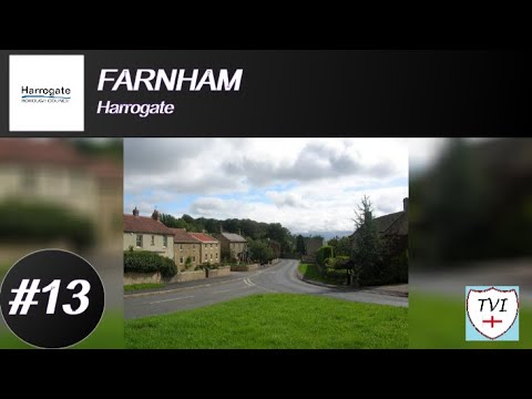
FARNHAM: Harrogate Parish #13 of 139

HARROGATE PARISH #13: FARNHAM Farnham – “Fern Homestead” From one Harrogate localtion beginning with F to another, ...

Nearby Amenities

Located within 500m of 54.063888,-1.472918
Copgrove
Is In: UK,England,Yorkshire,North Yorkshire
Place: hamlet
Lat/Long: 54.0644894/-1.4746356
Power: pole
Lat/Long: 54.0599767/-1.4698157
Power: pole
Lat/Long: 54.0596555/-1.4711353
Line Management: termination
Location Transition: yes
Power: pole
Lat/Long: 54.0639374/-1.4686409
Power: pole
Lat/Long: 54.0643309/-1.4705818
Power: pole
Lat/Long: 54.0649108/-1.4732757
Power: pole
Lat/Long: 54.065213/-1.4745986
Power: pole
Lat/Long: 54.0658248/-1.4755261
Power: pole
Lat/Long: 54.066438/-1.4764932
Power: pole
Lat/Long: 54.0669085/-1.4778144
Power: pole
Lat/Long: 54.0646401/-1.4720375
Power: pole
Lat/Long: 54.0640756/-1.4693227
The data included in this document is from www.openstreetmap.org. The data is made available under ODbL.

Have you been to Copgrove?

Leave your review of Copgrove below (or comments, questions and feedback).