Copgrove
Civil Parish in Yorkshire Harrogate
England
Copgrove
Copgrove is a small civil parish located in the Harrogate district of Yorkshire, England. Situated approximately 8 miles west of the town of Boroughbridge, it covers an area of around 5 square miles and has a population of around 100 residents.
The parish is primarily a rural area characterized by its picturesque landscapes and charming countryside. It is surrounded by rolling hills, open fields, and scattered woodland, creating an idyllic setting for nature lovers and outdoor enthusiasts. The nearby River Nidd also adds to the natural beauty of the area.
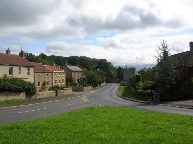
Copgrove is known for its rich history, with evidence of habitation dating back to the Roman period. The village itself features a cluster of traditional stone-built houses and cottages, giving it a timeless and quaint ambiance. St. Michael and All Angels Church, a Grade II listed building, stands prominently in the heart of the village, serving as a focal point for the community.
Despite its small size, Copgrove offers a range of amenities and services to its residents. These include a village hall, a primary school, and a local pub, providing a sense of community and meeting places for social gatherings. The parish is well-connected to neighboring towns and villages by road, making it easily accessible for commuters and visitors.
Overall, Copgrove offers a peaceful and picturesque setting for those seeking a tranquil countryside lifestyle, while still providing essential amenities and a sense of community.
If you have any feedback on the listing, please let us know in the comments section below.
Copgrove Images
Images are sourced within 2km of 54.063735/-1.468795 or Grid Reference SE3463. Thanks to Geograph Open Source API. All images are credited.
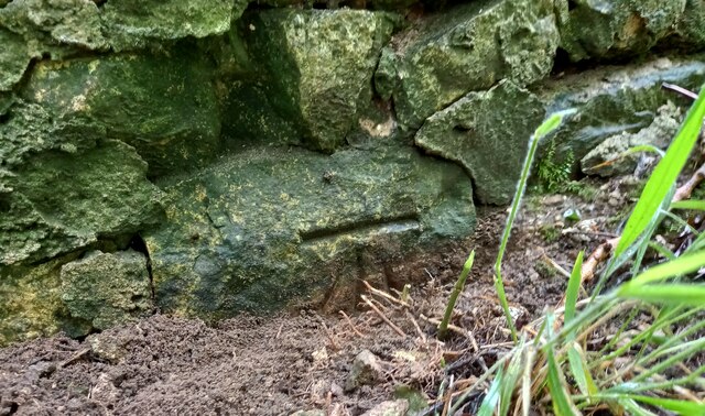


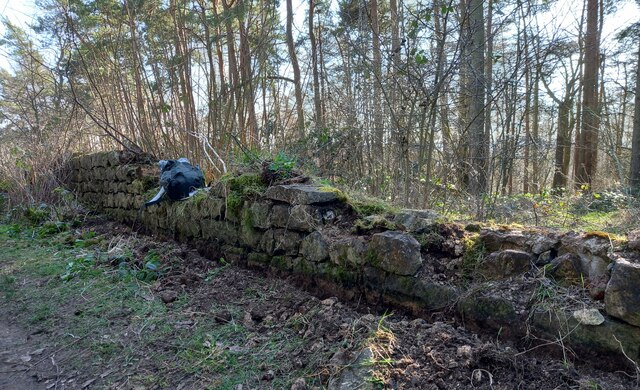
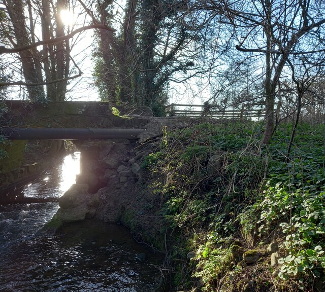
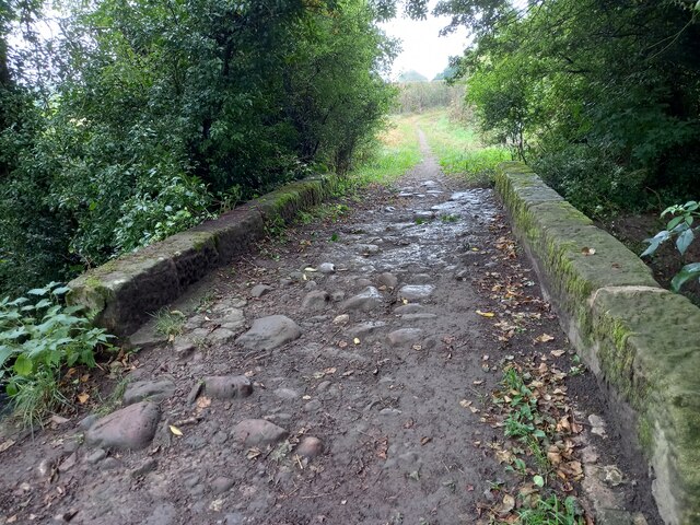
![A stream revisited I took a photo here in the autumn of 2009 and commented about springs, but after checking out the first edition 6" map of the area, it looks as though I was mistaken. There are a lot of 'humps and bumps' in this area, as well as odd bits of masonry [as in the foreground of this photo], and it appears that this is the site of a former water mill - 'Burton Mill' which is described as a corn mill. The mill has long gone, and the mill race has been reduced to little more than a meandering ditch, but this must be part of it.](https://s2.geograph.org.uk/geophotos/07/36/36/7363662_2cc6cae5.jpg)

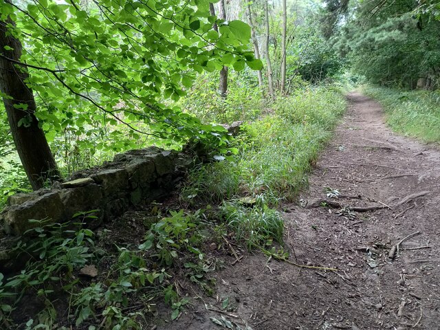
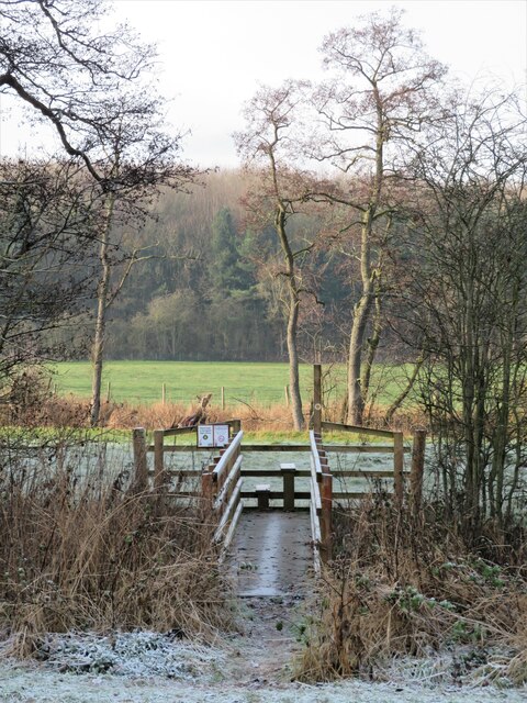
![Path into the wood [maybe] A waymark post at the edge of Kettlewell Carr suggests that one is on the right path, but there is no stile or gate and one must step over a semi derelict wire fence. Fortunately it would be difficult to get lost within the woodland.](https://s3.geograph.org.uk/geophotos/07/36/36/7363667_54e4542f.jpg)

Copgrove is located at Grid Ref: SE3463 (Lat: 54.063735, Lng: -1.468795)
Division: West Riding
Administrative County: North Yorkshire
District: Harrogate
Police Authority: North Yorkshire
What 3 Words
///whiplash.another.huts. Near Boroughbridge, North Yorkshire
Related Wikis

Copgrove
Copgrove is a village and civil parish in the Harrogate district of North Yorkshire, England, five miles (8 km) south-west of Boroughbridge and the A1...

Staveley, North Yorkshire
Staveley is a village and civil parish in the Harrogate district of North Yorkshire, England. It is situated 4 miles (6.4 km) north of Knaresborough and...

Copgrove railway station
Copgrove railway station served the village of Copgrove, North Yorkshire, England from 1875 to 1964 on the Pilmoor, Boroughbridge and Knaresborough Railway...

Burton Leonard
Burton Leonard is a village and civil parish in the Harrogate district of North Yorkshire, England, and approximately 7 miles (11 km) south from Ripon...

Bishop Monkton Ings
Bishop Monkton Ings is a Site of Special Scientific Interest, or SSSI, situated east of Bishop Monkton village in North Yorkshire, England. It consists...
Farnham, North Yorkshire
Farnham is a village and civil parish in the Harrogate district of North Yorkshire, England. It is situated 2 miles (3.2 km) north of Knaresborough....

Farnham Mires
Farnham Mires is a Site of Special Scientific Interest, or SSSI, to the east of the village of Farnham, North Yorkshire, England. It consists of a spring...

Westwick, North Yorkshire
Westwick is a civil parish in Harrogate district in North Yorkshire, England. It lies 3 miles (5 km) west of Boroughbridge, on the south bank of the River...
Nearby Amenities
Located within 500m of 54.063735,-1.468795Have you been to Copgrove?
Leave your review of Copgrove below (or comments, questions and feedback).